
Photo: Mark Heard from Canada · CC BY 2.0 · Wikimedia Commons
BeqaReport this photo · linked, not stored
BeqaReport this photo · linked, not stored
IslandNavua, Central
Beqa
Island462 m elevationBest Jun · Aug–Sep
Elevation462 mabove sea level
Area36 km²surface
Nearest townNavua20 km
18.40° S, 178.13° EElevation 462 mUTC+12 · Fiji Standard Time
When to goNavua · weather score
Best timeJun · Aug–Sep
October: high / low26° / 22°
Island
Beqa in brief
Beqa is an island in Navua, Central, Fiji.
It lies at 462 m above sea level and covers about 36 km².
The nearest town is Navua, 20 km to the N, where the weather is best in June, August and September.
Weather nearby now
Forecast for Navua24°
Cloudy now
Today
28 Oct
25°
24°
Thu
29 Oct
25°
22°
Fri
30 Oct
25°
21°
1 mm
Sat
31 Oct
25°
23°
3 mm
Sun
1 Nov
26°
24°
Model run 00:00 UTCRefreshed several times a day
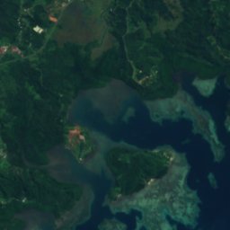
The island from above
36 km² · coastline as mapped in OpenStreetMapWhen to go
Climate of NavuaThe best months around Beqa
Month score in Navua
Comfort, dry days and sunshine · out of 10046
Jan
44
Feb
45
Mar
52
Apr
57
May
61
Jun
60
Jul
61
Aug
61
Sep
59
Oct
53
Nov
50
Dec
Map
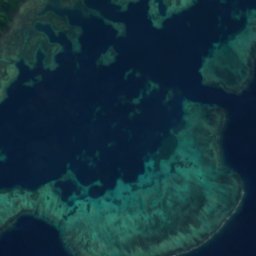
Beqa from above
Nature nearbyAll of Fiji


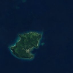

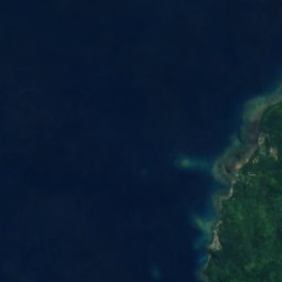
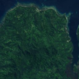
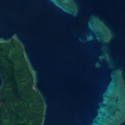


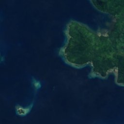
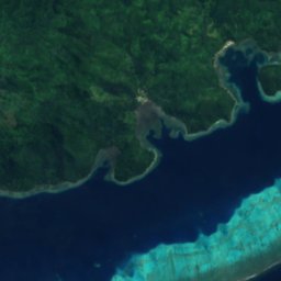
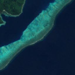
Satellite: Sentinel-2 cloudless 2016 by EOX IT Services GmbH · CC BY 4.0 · Contains modified Copernicus Sentinel data 2016


Satellite: Sentinel-2 cloudless 2016 by EOX IT Services GmbH · CC BY 4.0 · Contains modified Copernicus Sentinel data 2016
Satellite: Sentinel-2 cloudless 2016 by EOX IT Services GmbH · CC BY 4.0 · Contains modified Copernicus Sentinel data 2016
Satellite: Sentinel-2 cloudless 2016 by EOX IT Services GmbH · CC BY 4.0 · Contains modified Copernicus Sentinel data 2016


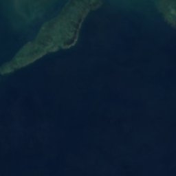
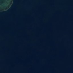

Satellite: Sentinel-2 cloudless 2016 by EOX IT Services GmbH · CC BY 4.0 · Contains modified Copernicus Sentinel data 2016
Satellite: Sentinel-2 cloudless 2016 by EOX IT Services GmbH · CC BY 4.0 · Contains modified Copernicus Sentinel data 2016
Around here
Navua and around

Nature
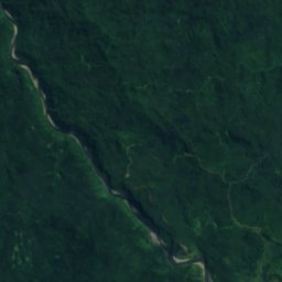
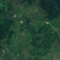
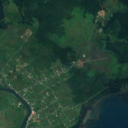
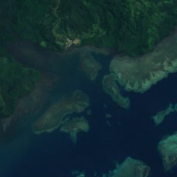
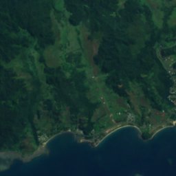
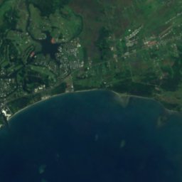
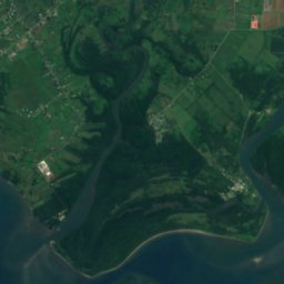
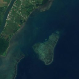
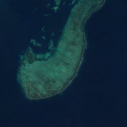
Satellite: Sentinel-2 cloudless 2016 by EOX IT Services GmbH · CC BY 4.0 · Contains modified Copernicus Sentinel data 2016
Navua River
River
Satellite: Sentinel-2 cloudless 2016 by EOX IT Services GmbH · CC BY 4.0 · Contains modified Copernicus Sentinel data 2016
Tonguru River
River
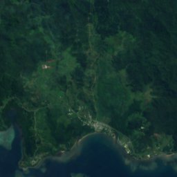
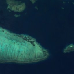
Satellite: Sentinel-2 cloudless 2016 by EOX IT Services GmbH · CC BY 4.0 · Contains modified Copernicus Sentinel data 2016
Ndeumba River
River
Heritage


Satellite: Sentinel-2 cloudless 2016 by EOX IT Services GmbH · CC BY 4.0 · Contains modified Copernicus Sentinel data 2016
Navua River
Ramsar site