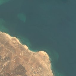

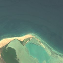




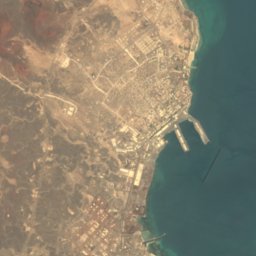
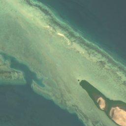
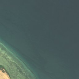


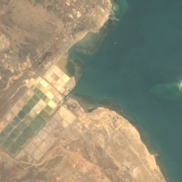
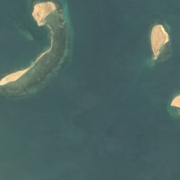
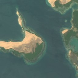
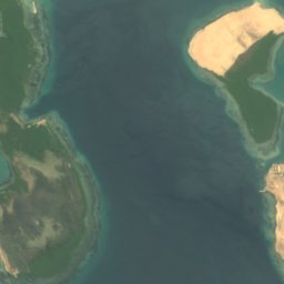
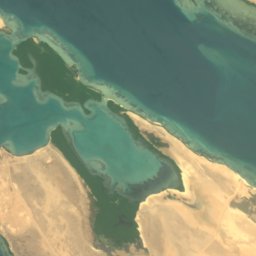



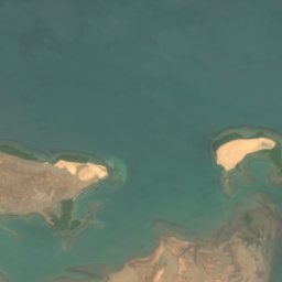
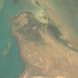
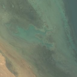
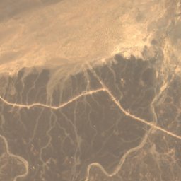
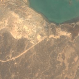
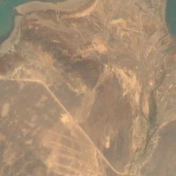
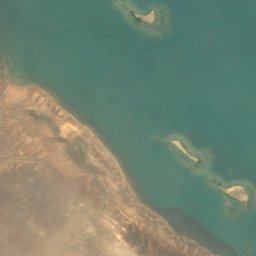
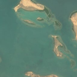
Satellite: Sentinel-2 cloudless 2016 by EOX IT Services GmbH · CC BY 4.0 · Contains modified Copernicus Sentinel data 2016
IslandAssab, Southern Red Sea
Halib
Island18 m elevationBest Jan–Feb · Dec
Elevation18 mabove sea level
Area78 km²surface
Nearest townAssab21 km
12.94° N, 42.92° EElevation 18 mUTC+3 · East Africa Time
When to goAssab · weather score
Best timeJan–Feb · Dec
October: high / low32° / 27°
Island
Halib in brief
Halib is an island in Assab, Southern Red Sea, Eritrea.
It lies at 18 m above sea level and covers about 78 km².
The nearest town is Assab, 21 km to the W, where the weather is best in January, February and December.
Weather nearby now
Forecast for Assab29°
Sunny now
Today
27 Oct
31°
28°
Wed
28 Oct
32°
27°
Thu
29 Oct
33°
27°
Fri
30 Oct
32°
27°
Sat
31 Oct
31°
27°
Model run 00:00 UTCRefreshed several times a day
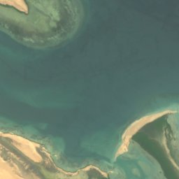
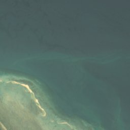
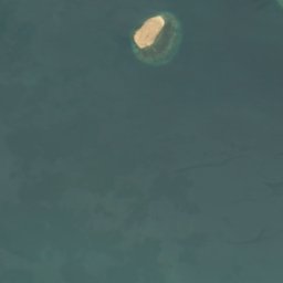
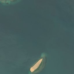
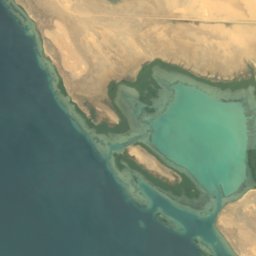
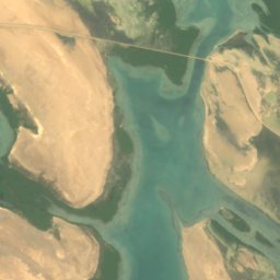
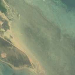
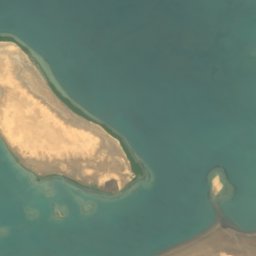
The island from above
78 km² · coastline as mapped in OpenStreetMapMap
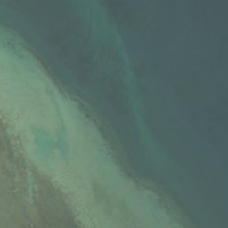
Halib from above
Nature nearbyAll of Eritrea
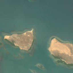
Satellite: Sentinel-2 cloudless 2016 by EOX IT Services GmbH · CC BY 4.0 · Contains modified Copernicus Sentinel data 2016
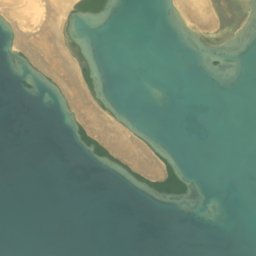
Satellite: Sentinel-2 cloudless 2016 by EOX IT Services GmbH · CC BY 4.0 · Contains modified Copernicus Sentinel data 2016
Satellite: Sentinel-2 cloudless 2016 by EOX IT Services GmbH · CC BY 4.0 · Contains modified Copernicus Sentinel data 2016
Satellite: Sentinel-2 cloudless 2016 by EOX IT Services GmbH · CC BY 4.0 · Contains modified Copernicus Sentinel data 2016
Satellite: Sentinel-2 cloudless 2016 by EOX IT Services GmbH · CC BY 4.0 · Contains modified Copernicus Sentinel data 2016
Satellite: Sentinel-2 cloudless 2016 by EOX IT Services GmbH · CC BY 4.0 · Contains modified Copernicus Sentinel data 2016
Around here
Assab and around

Nature
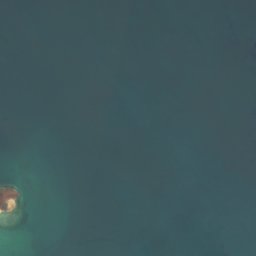




Satellite: Sentinel-2 cloudless 2016 by EOX IT Services GmbH · CC BY 4.0 · Contains modified Copernicus Sentinel data 2016
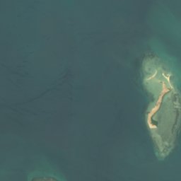
Fatuma Desēt
Island · 3 m
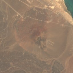
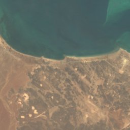
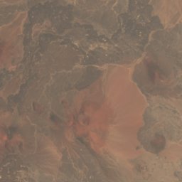
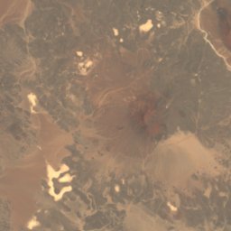
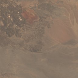
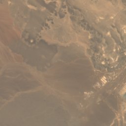
Satellite: Sentinel-2 cloudless 2016 by EOX IT Services GmbH · CC BY 4.0 · Contains modified Copernicus Sentinel data 2016
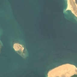
Um Ālbahār Desēt
Island
Satellite: Sentinel-2 cloudless 2016 by EOX IT Services GmbH · CC BY 4.0 · Contains modified Copernicus Sentinel data 2016
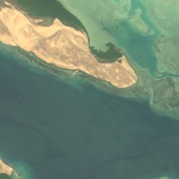
Umm-al-Sciora
Island · 3 m
Mountains
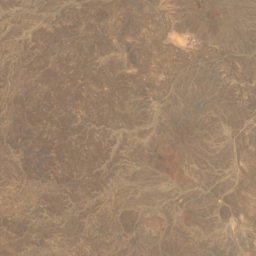
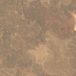
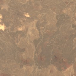
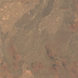
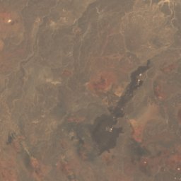
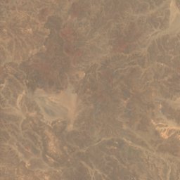
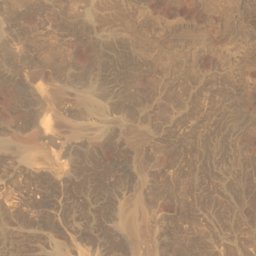
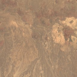
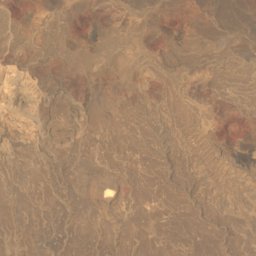
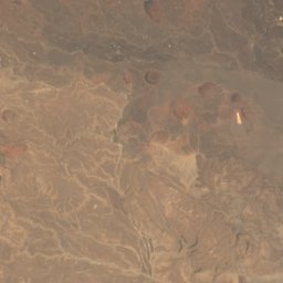
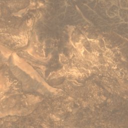
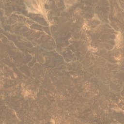
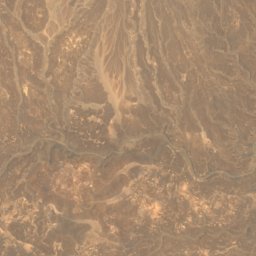
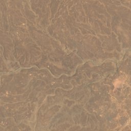
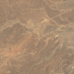
Satellite: Sentinel-2 cloudless 2016 by EOX IT Services GmbH · CC BY 4.0 · Contains modified Copernicus Sentinel data 2016
Danakil mountain
2,218 m
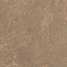
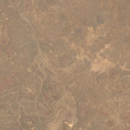
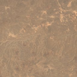
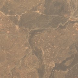
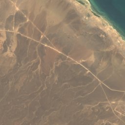

Satellite: Sentinel-2 cloudless 2016 by EOX IT Services GmbH · CC BY 4.0 · Contains modified Copernicus Sentinel data 2016
Asseb Volcano
987 m