
IslandAl Qanţarah, Ismailia
البلح
IslandBest Feb–Mar · Nov
Elevation–above sea level
Area–surface
Nearest townAl Qanţarah11 km
30.76° N, 32.32° EUTC+3 · Eastern European Summer Time
When to goAl Qanţarah · weather score
Best timeFeb–Mar · Nov
October: high / low30° / 18°
Island
البلح in brief
البلح is an island in Al Qanţarah, Ismailia, Egypt.
The nearest town in the atlas is Al Qanţarah, 11 km to the N, where the weather is best in February, March and November.
Weather nearby now
Forecast for Al Qanţarah27°
Partly cloudy now
Today
22 Oct
30°
20°
Fri
23 Oct
31°
21°
Sat
24 Oct
32°
21°
Sun
25 Oct
31°
20°
Mon
26 Oct
29°
18°
Model run 00:00 UTCRefreshed several times a day
Map
البلح from above
Nature nearbyAll of Egypt
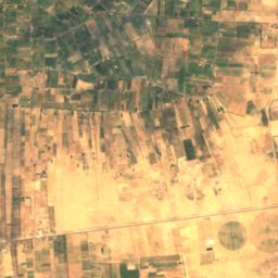
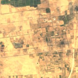
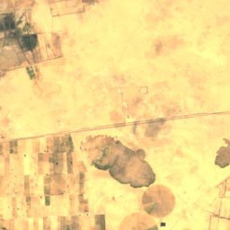
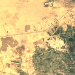
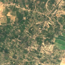
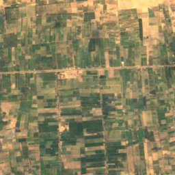
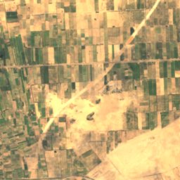
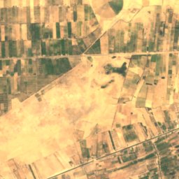
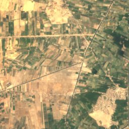
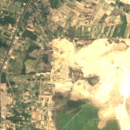
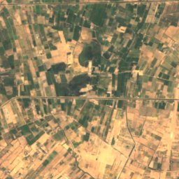
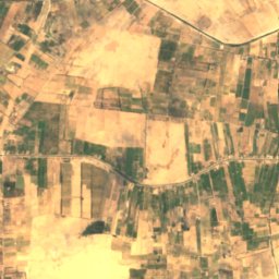
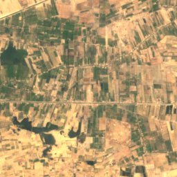
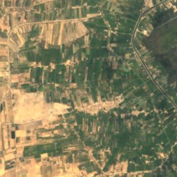
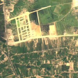
Satellite: Sentinel-2 cloudless 2016 by EOX IT Services GmbH · CC BY 4.0 · Contains modified Copernicus Sentinel data 2016
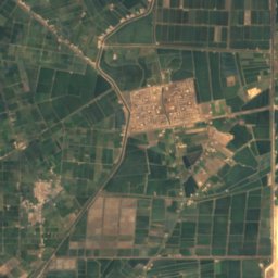
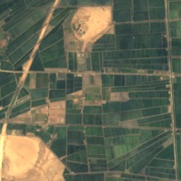
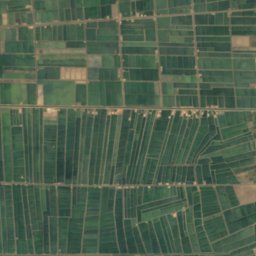
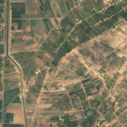
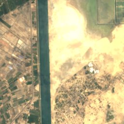
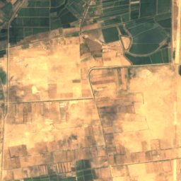
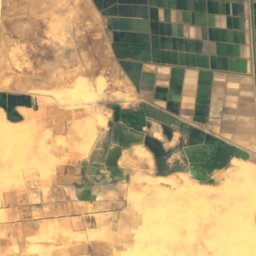
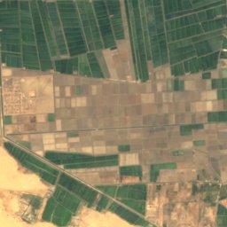
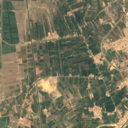
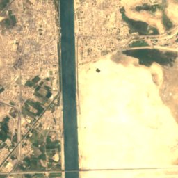
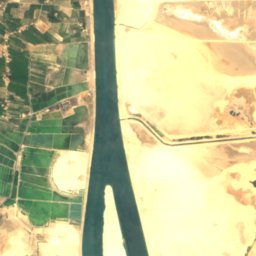
Satellite: Sentinel-2 cloudless 2016 by EOX IT Services GmbH · CC BY 4.0 · Contains modified Copernicus Sentinel data 2016
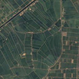
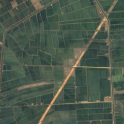
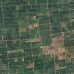
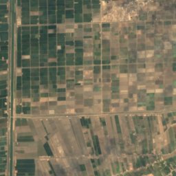
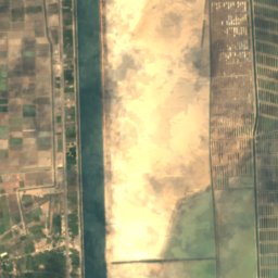
Satellite: Sentinel-2 cloudless 2016 by EOX IT Services GmbH · CC BY 4.0 · Contains modified Copernicus Sentinel data 2016
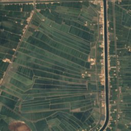
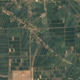
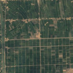
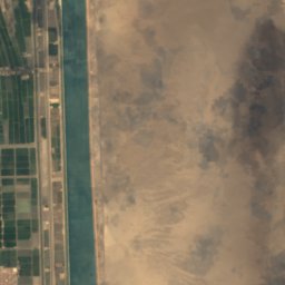
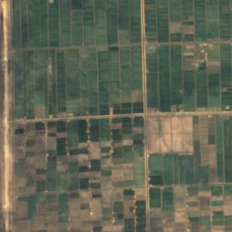
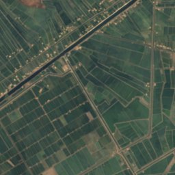
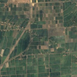
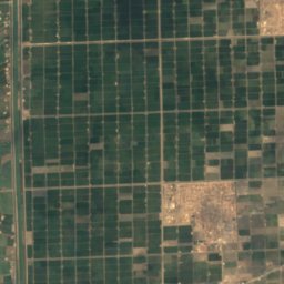
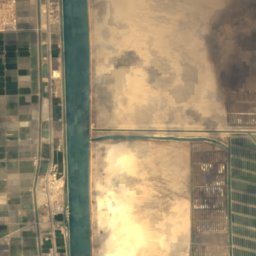
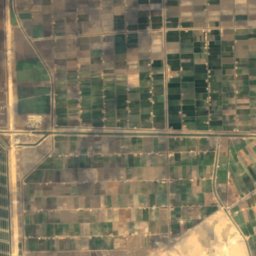
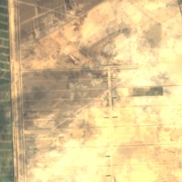
Satellite: Sentinel-2 cloudless 2016 by EOX IT Services GmbH · CC BY 4.0 · Contains modified Copernicus Sentinel data 2016
Satellite: Sentinel-2 cloudless 2016 by EOX IT Services GmbH · CC BY 4.0 · Contains modified Copernicus Sentinel data 2016
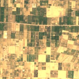
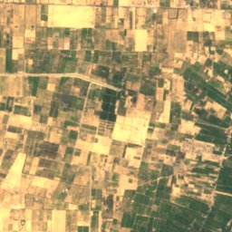
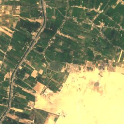
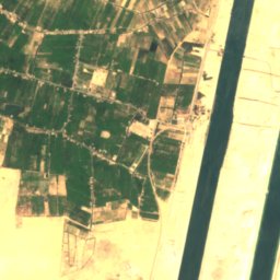
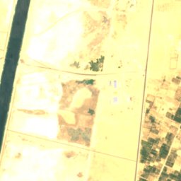
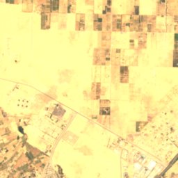
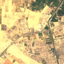
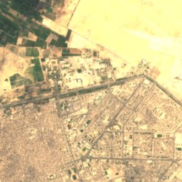
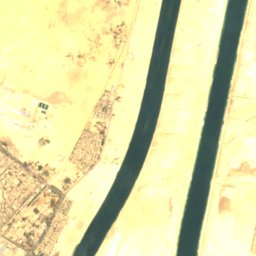
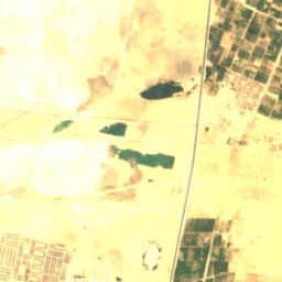
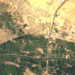
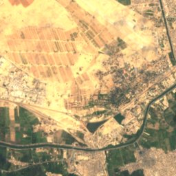
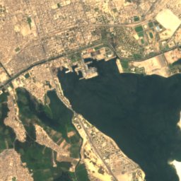
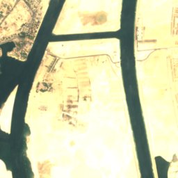
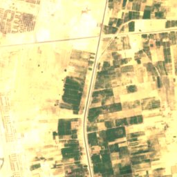
Satellite: Sentinel-2 cloudless 2016 by EOX IT Services GmbH · CC BY 4.0 · Contains modified Copernicus Sentinel data 2016
Stay nearby
Towns close by

Photo: Official U.S. Navy photo by Mass Communication Specialist 2nd Class Alex R. Fors · Public domain · Wikimedia CommonsReport this photo · linked, not stored
Al Qanţarah
Ismailia · 11 km N
30°Oct high
1wet day
76score


Around here
Al Qanţarah and around
Photo: Official U.S. Navy photo by Mass Communication Specialist 2nd Class Alex R. Fors · Public domain · Wikimedia CommonsReport this photo · linked, not stored
Al Qanţarah
Ismailia · Egypt
Feb–Mar · Novbest months
36°July high
6 maltitude
Nature
Satellite: Sentinel-2 cloudless 2016 by EOX IT Services GmbH · CC BY 4.0 · Contains modified Copernicus Sentinel data 2016
Mallāḩat al Fajfājah
Lake · 3 m
Satellite: Sentinel-2 cloudless 2016 by EOX IT Services GmbH · CC BY 4.0 · Contains modified Copernicus Sentinel data 2016
Jazīrat Ās ‘Awad
Island
Satellite: Sentinel-2 cloudless 2016 by EOX IT Services GmbH · CC BY 4.0 · Contains modified Copernicus Sentinel data 2016
Jazīrat Ās an Nakhlah
Island · 4 m