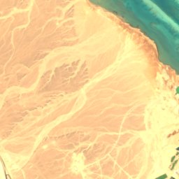
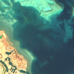
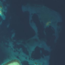

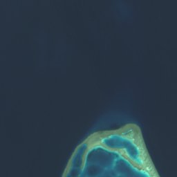



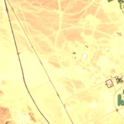
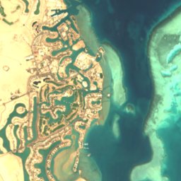
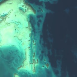


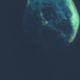



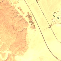
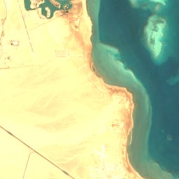
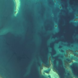
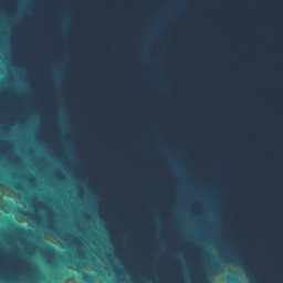
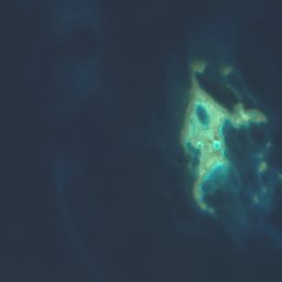

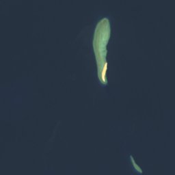



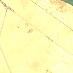
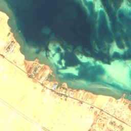
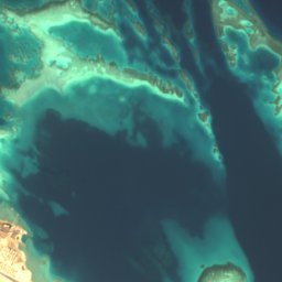
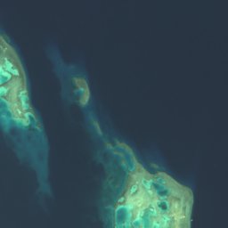



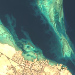
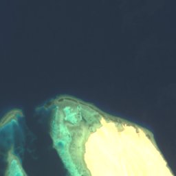


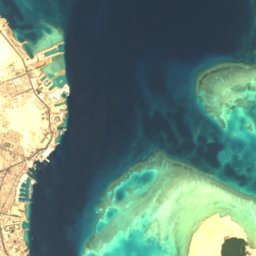
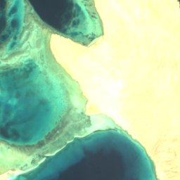
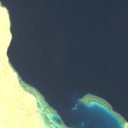

Satellite: Sentinel-2 cloudless 2016 by EOX IT Services GmbH · CC BY 4.0 · Contains modified Copernicus Sentinel data 2016
IslandHurghada, Red Sea
Al Fanādīr
IslandBest Jan–Feb · Dec
Elevation–above sea level
Area–surface
Nearest townHurghada4.8 km
27.30° N, 33.83° EUTC+3 · Eastern European Summer Time
When to goHurghada · weather score
Best timeJan–Feb · Dec
October: high / low31° / 24°
Island
Al Fanādīr in brief
Al Fanādīr is an island in Hurghada, Red Sea, Egypt.
The nearest town in the atlas is Hurghada, 4.8 km to the S, where the weather is best in January, February and December.
Weather nearby now
Forecast for Hurghada30°
Sunny now
Today
22 Oct
31°
23°
Fri
23 Oct
31°
24°
Sat
24 Oct
31°
24°
Sun
25 Oct
30°
24°
Mon
26 Oct
31°
24°
Model run 00:00 UTCRefreshed several times a day
Map
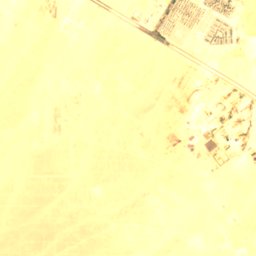
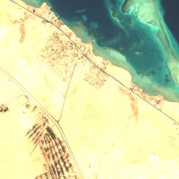
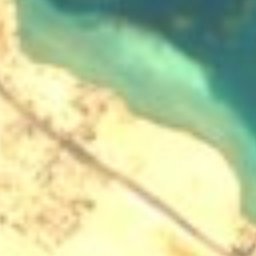
Al Fanādīr from above
Nature nearbyAll of Egypt
Satellite: Sentinel-2 cloudless 2016 by EOX IT Services GmbH · CC BY 4.0 · Contains modified Copernicus Sentinel data 2016
Satellite: Sentinel-2 cloudless 2016 by EOX IT Services GmbH · CC BY 4.0 · Contains modified Copernicus Sentinel data 2016
Satellite: Sentinel-2 cloudless 2016 by EOX IT Services GmbH · CC BY 4.0 · Contains modified Copernicus Sentinel data 2016
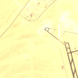
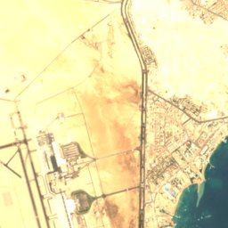
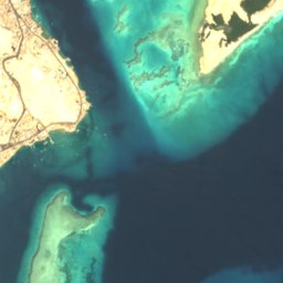
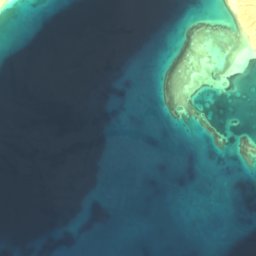
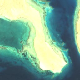
Satellite: Sentinel-2 cloudless 2016 by EOX IT Services GmbH · CC BY 4.0 · Contains modified Copernicus Sentinel data 2016
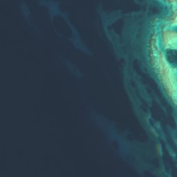
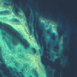



Satellite: Sentinel-2 cloudless 2016 by EOX IT Services GmbH · CC BY 4.0 · Contains modified Copernicus Sentinel data 2016
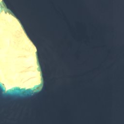
Satellite: Sentinel-2 cloudless 2016 by EOX IT Services GmbH · CC BY 4.0 · Contains modified Copernicus Sentinel data 2016
Stay nearby
Towns close by


Around here
Hurghada and around
Nature
Satellite: Sentinel-2 cloudless 2016 by EOX IT Services GmbH · CC BY 4.0 · Contains modified Copernicus Sentinel data 2016
Juzur Abū Minqār
Island · 3 m
Satellite: Sentinel-2 cloudless 2016 by EOX IT Services GmbH · CC BY 4.0 · Contains modified Copernicus Sentinel data 2016
Jazīrat Jiftūn al Kabīr
Island · 76 m
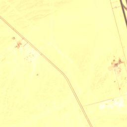
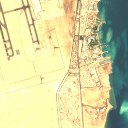
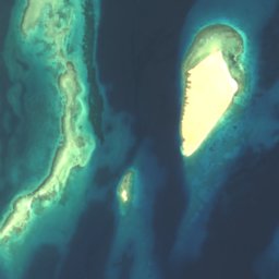
Satellite: Sentinel-2 cloudless 2016 by EOX IT Services GmbH · CC BY 4.0 · Contains modified Copernicus Sentinel data 2016
Jazīrat Umm Ajāwīsh al Kubrá
Island · 9 m
Museums

Photo: Free to use with credit to the photographer: Mosbatho · CC BY 4.0 · Wikimedia CommonsReport this photo · linked, not stored
Hurghada Museum



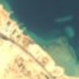


Satellite: Sentinel-2 cloudless 2016 by EOX IT Services GmbH · CC BY 4.0 · Contains modified Copernicus Sentinel data 2016
Hurghada Marine Museum & Aquarium
Natural history museum · 1928