
Photo: Unknown author · Public domain · Wikimedia Commons
TimorReport this photo · linked, not stored
TimorReport this photo · linked, not stored
 Tapo
IslandMaliana, Bobonaro
Timor
Island2,963 m elevationBest Jun–Aug
Elevation2,963 mabove sea level
Area30,777 km²surface
Nearest townMaliana18 km
9.08° S, 125.08° EElevation 2,963 mUTC+9 · Timor-Leste Time
When to goMaliana · weather score
Best timeJun–Aug
October: high / low32° / 22°
Island
Timor in brief
Timor is an island in Maliana, Bobonaro, East Timor — island bordering the south of maritime Southeast Asia and the north of the Australian continental plate.
It lies at 2,963 m above sea level and covers about 30,777 km².
The nearest town in the atlas is Maliana, 18 km to the NE, where the weather is best in June, July and August.
Weather nearby now
Forecast for Maliana24°
Cloudy now
Today
22 Oct
34°
26°
3 mm
Fri
23 Oct
34°
23°
1 mm
Sat
24 Oct
34°
22°
3 mm
Sun
25 Oct
33°
21°
3 mm
Mon
26 Oct
34°
21°
3 mm
Model run 00:00 UTCRefreshed several times a day
The island from above
30,777 km² · coastline as mapped in OpenStreetMapWhen to go
Climate of MalianaThe best months around Timor
Month score in Maliana
Comfort, dry days and sunshine · out of 10034
Jan
36
Feb
39
Mar
57
Apr
69
May
77
Jun
81
Jul
78
Aug
71
Sep
58
Oct
43
Nov
34
Dec
Map
Timor from above
Nature nearbyAll of East Timor
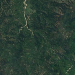
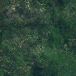
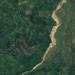
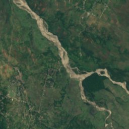
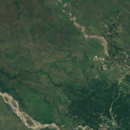
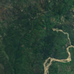
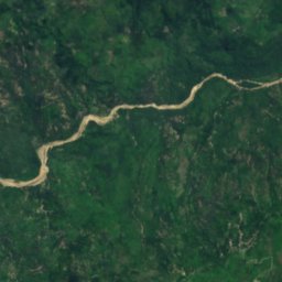
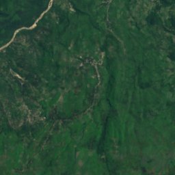
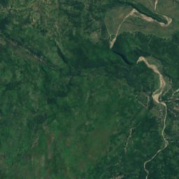
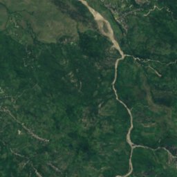
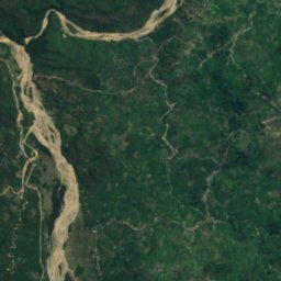
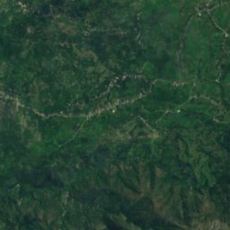
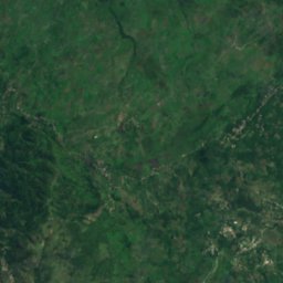
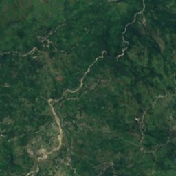
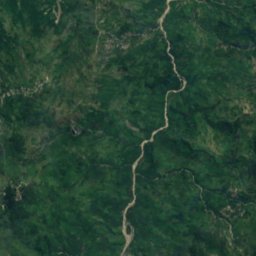
Satellite: Sentinel-2 cloudless 2016 by EOX IT Services GmbH · CC BY 4.0 · Contains modified Copernicus Sentinel data 2016
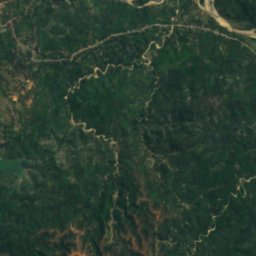
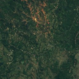
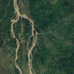
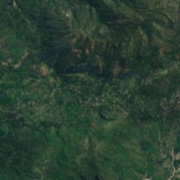
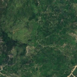
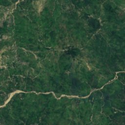
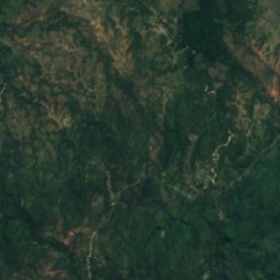
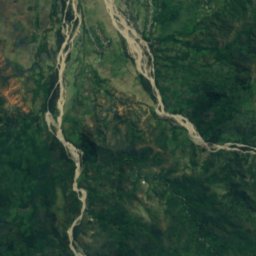
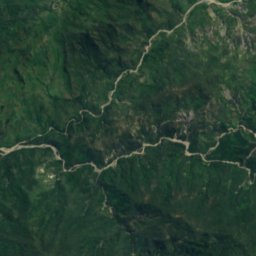
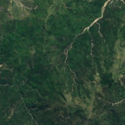
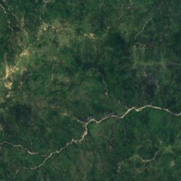
Satellite: Sentinel-2 cloudless 2016 by EOX IT Services GmbH · CC BY 4.0 · Contains modified Copernicus Sentinel data 2016
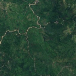
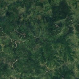
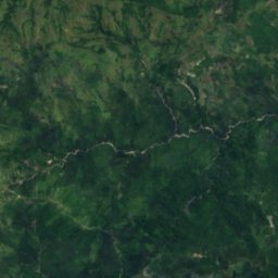
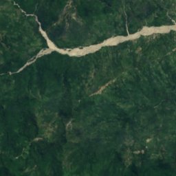
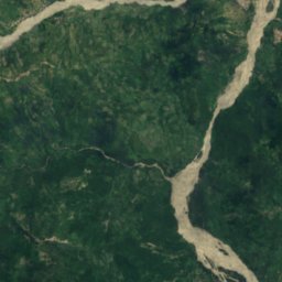
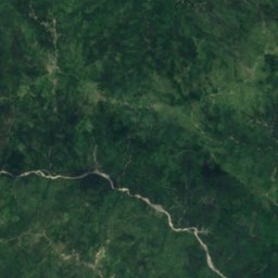
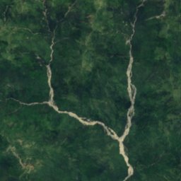
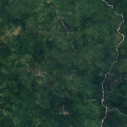
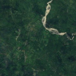
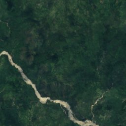
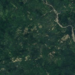
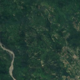
Satellite: Sentinel-2 cloudless 2016 by EOX IT Services GmbH · CC BY 4.0 · Contains modified Copernicus Sentinel data 2016



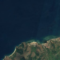
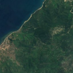


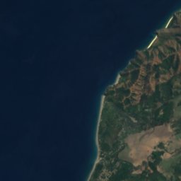
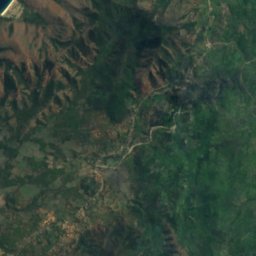


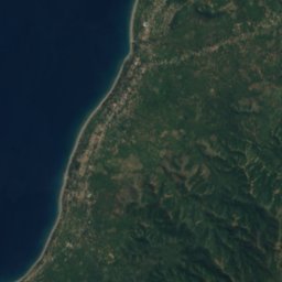
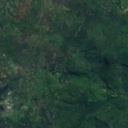
Satellite: Sentinel-2 cloudless 2016 by EOX IT Services GmbH · CC BY 4.0 · Contains modified Copernicus Sentinel data 2016
Satellite: Sentinel-2 cloudless 2016 by EOX IT Services GmbH · CC BY 4.0 · Contains modified Copernicus Sentinel data 2016
Summits nearbyMountains of East Timor
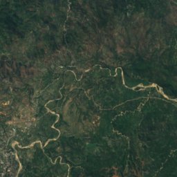
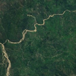
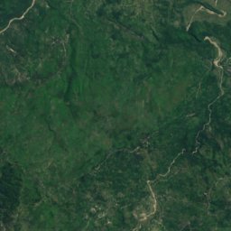
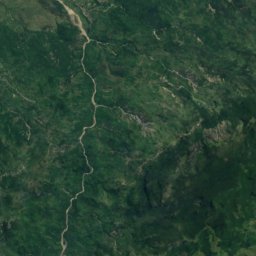
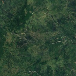
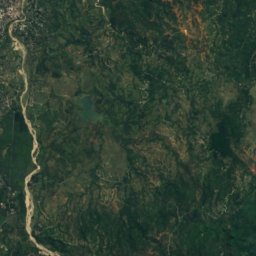
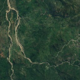
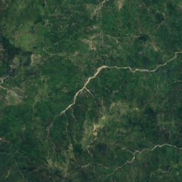
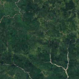
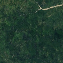
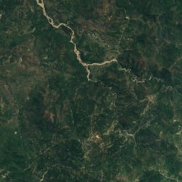
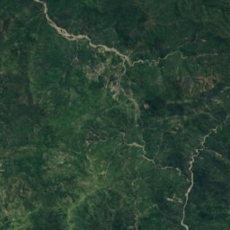
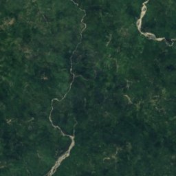
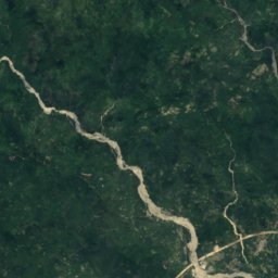
Satellite: Sentinel-2 cloudless 2016 by EOX IT Services GmbH · CC BY 4.0 · Contains modified Copernicus Sentinel data 2016

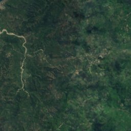
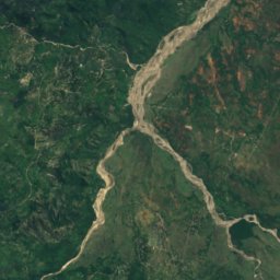
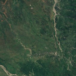
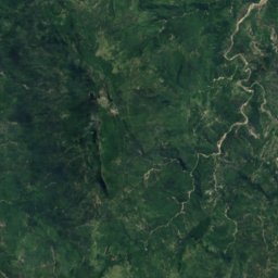
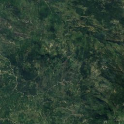
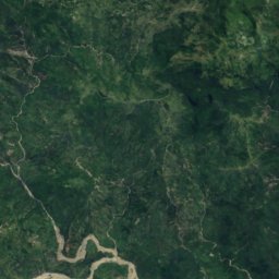
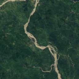
Satellite: Sentinel-2 cloudless 2016 by EOX IT Services GmbH · CC BY 4.0 · Contains modified Copernicus Sentinel data 2016
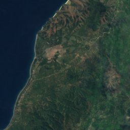
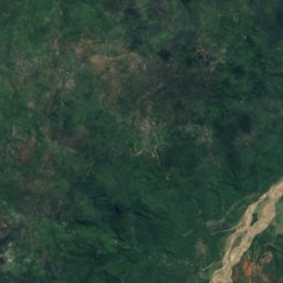
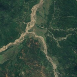
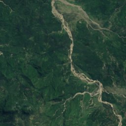
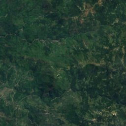
Satellite: Sentinel-2 cloudless 2016 by EOX IT Services GmbH · CC BY 4.0 · Contains modified Copernicus Sentinel data 2016
Satellite: Sentinel-2 cloudless 2016 by EOX IT Services GmbH · CC BY 4.0 · Contains modified Copernicus Sentinel data 2016
Satellite: Sentinel-2 cloudless 2016 by EOX IT Services GmbH · CC BY 4.0 · Contains modified Copernicus Sentinel data 2016
Stay nearby
Towns close by
Satellite: Sentinel-2 cloudless 2016 by EOX IT Services GmbH · CC BY 4.0 · Contains modified Copernicus Sentinel data 2016
Maliana
Bobonaro · 18 km NE
32°Oct high
5wet days
58score

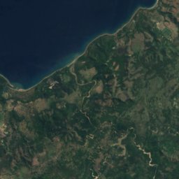
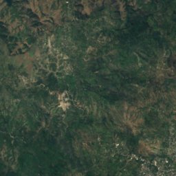
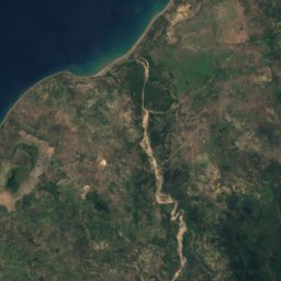
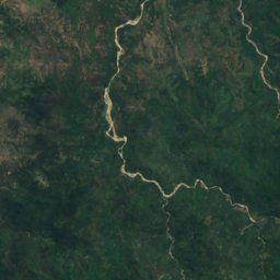
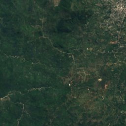
Satellite: Sentinel-2 cloudless 2016 by EOX IT Services GmbH · CC BY 4.0 · Contains modified Copernicus Sentinel data 2016
Atambua
East Nusa Tenggara · 21 km W
30°Oct high
7wet days
65score
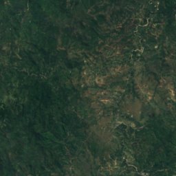
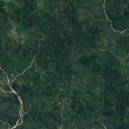
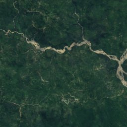
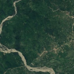
Around here
Maliana and around
Nature
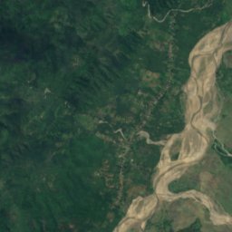
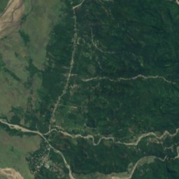
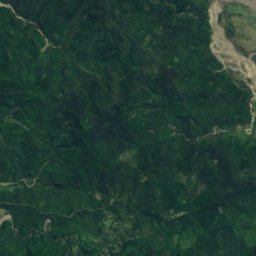
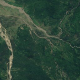
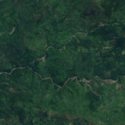
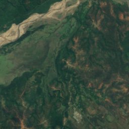
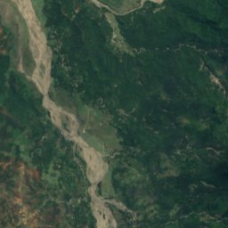
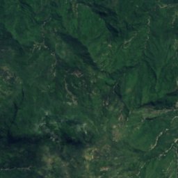
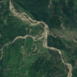
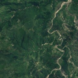
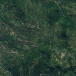
Satellite: Sentinel-2 cloudless 2016 by EOX IT Services GmbH · CC BY 4.0 · Contains modified Copernicus Sentinel data 2016
Danau Tapakora
Lake
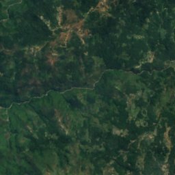
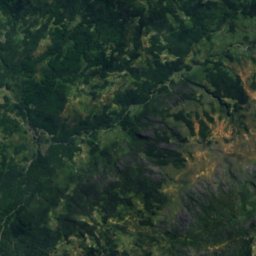
Satellite: Sentinel-2 cloudless 2016 by EOX IT Services GmbH · CC BY 4.0 · Contains modified Copernicus Sentinel data 2016
Bandeira Waterfall
Waterfall
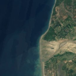
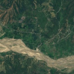
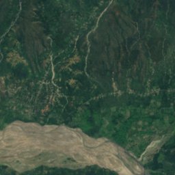
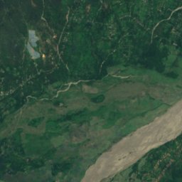
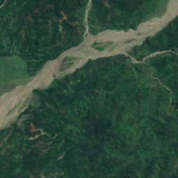
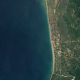
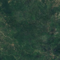
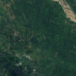
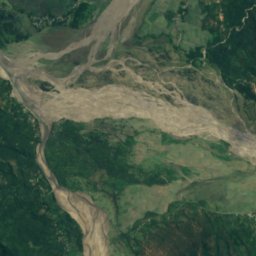
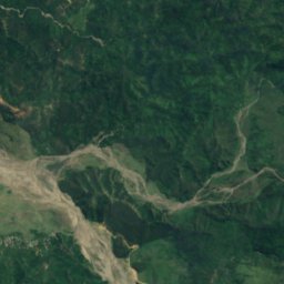
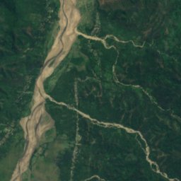
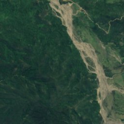
Satellite: Sentinel-2 cloudless 2016 by EOX IT Services GmbH · CC BY 4.0 · Contains modified Copernicus Sentinel data 2016
Tapo Heleço
Lake
Mountains
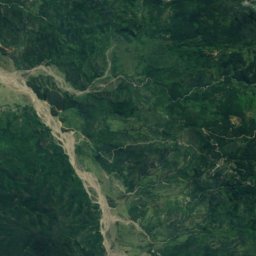
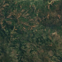
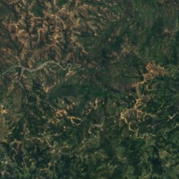
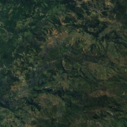
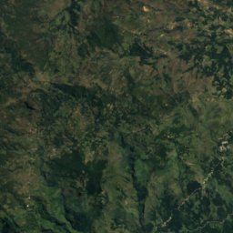
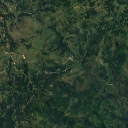
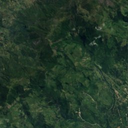
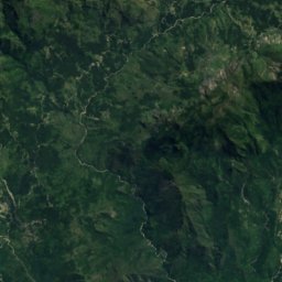
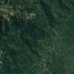


Satellite: Sentinel-2 cloudless 2016 by EOX IT Services GmbH · CC BY 4.0 · Contains modified Copernicus Sentinel data 2016
Tatamailau
2,963 m · Ramelau
Satellite: Sentinel-2 cloudless 2016 by EOX IT Services GmbH · CC BY 4.0 · Contains modified Copernicus Sentinel data 2016
Foho Doramelau
2,857 m · Ramelau
Heritage

Photo: Bro. Jeffrey Pioquinto, SJ from Dublin, Ireland, Philippines · CC BY 2.0 · Wikimedia CommonsReport this photo · linked, not stored

Marobo hot springs
Heritage of Portuguese Influence