























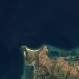
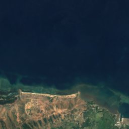
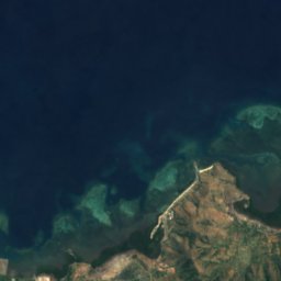
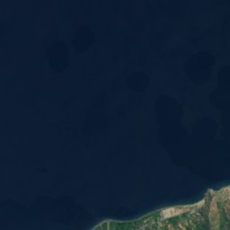
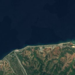
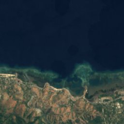
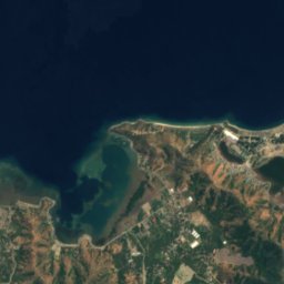
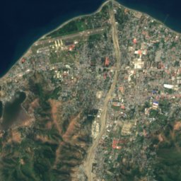
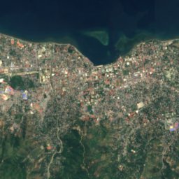
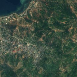
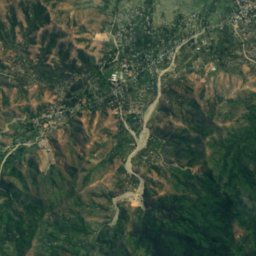
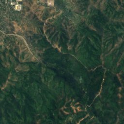
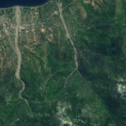
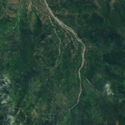
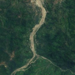
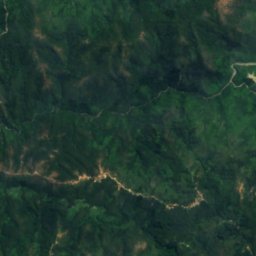
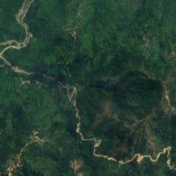
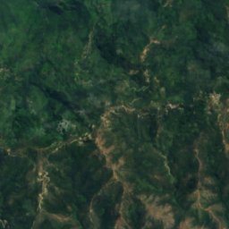
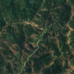
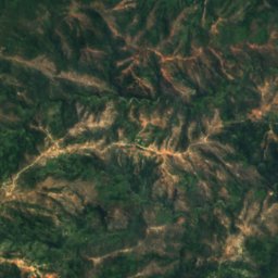
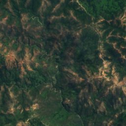
Satellite: Sentinel-2 cloudless 2016 by EOX IT Services GmbH · CC BY 4.0 · Contains modified Copernicus Sentinel data 2016
 Tasitolu

Photo: Bahnfrend · CC BY-SA 4.0 · Wikimedia Commons
Cristo Rei beachReport this photo · linked, not stored
Cristo Rei beachCristo Rei beachReport this photo · linked, not stored

Photo: Bahnfrend · CC BY-SA 4.0 · Wikimedia Commons
Areia Branca BeachReport this photo · linked, not stored
Areia Branca BeachAreia Branca BeachReport this photo · linked, not stored

Photo: Bahnfrend · CC BY-SA 4.0 · Wikimedia Commons
Areia Branca beach and hinterlandReport this photo · linked, not stored
Areia Branca beach and hinterlandAreia Branca beach and hinterlandReport this photo · linked, not stored
RiverDili, Dili Municipality
Comoro River
River4 m elevationBest Jun–Aug
Elevation4 mabove sea level
Area–surface
Nearest townDili4.9 km
8.54° S, 125.53° EElevation 4 mUTC+9 · Timor-Leste Time
When to goDili · weather score
Best timeJun–Aug
October: high / low33° / 24°
River
Comoro River in brief
Comoro River is a river in Dili, Dili Municipality, East Timor.
It lies at 4 m above sea level.
The nearest town in the atlas is Dili, 4.9 km to the SE, where the weather is best in June, July and August.
Weather nearby now
Forecast for Dili29°
Cloudy now
Today
23 Oct
30°
26°
Sat
24 Oct
29°
26°
Sun
25 Oct
30°
26°
Mon
26 Oct
30°
26°
Tue
27 Oct
30°
25°
Model run 00:00 UTCRefreshed several times a day
The course of the river
As mapped in OpenStreetMap, with the towns of the atlas along its banks.sourcemouth (or where the mapped line leaves the country)
Map
Comoro River from above
Nature nearbyAll of East Timor


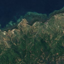
Satellite: Sentinel-2 cloudless 2016 by EOX IT Services GmbH · CC BY 4.0 · Contains modified Copernicus Sentinel data 2016

Summits nearbyMountains of East Timor



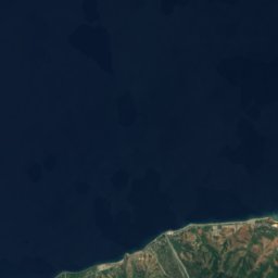
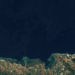
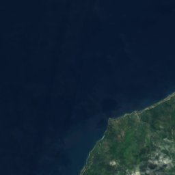
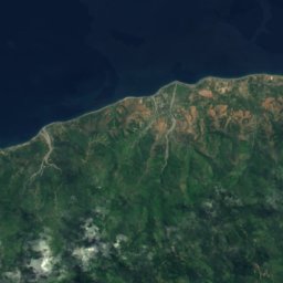
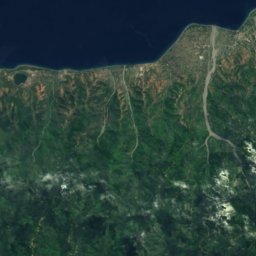
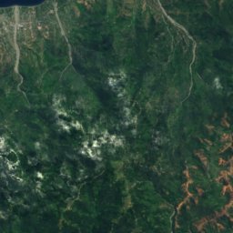
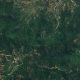
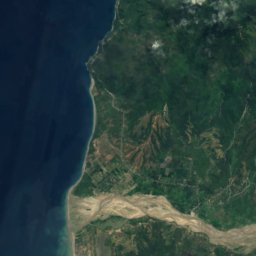
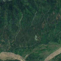
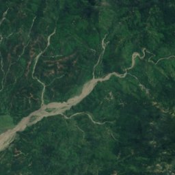
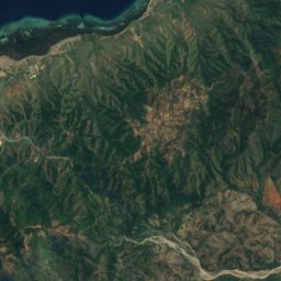
Satellite: Sentinel-2 cloudless 2016 by EOX IT Services GmbH · CC BY 4.0 · Contains modified Copernicus Sentinel data 2016
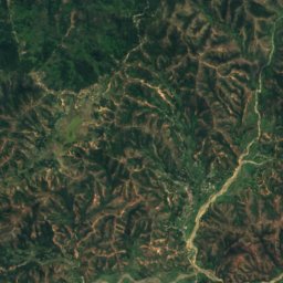
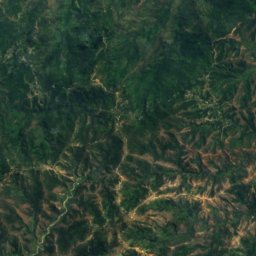
Satellite: Sentinel-2 cloudless 2016 by EOX IT Services GmbH · CC BY 4.0 · Contains modified Copernicus Sentinel data 2016
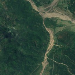
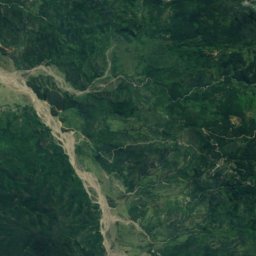
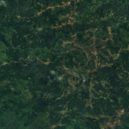
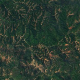
Satellite: Sentinel-2 cloudless 2016 by EOX IT Services GmbH · CC BY 4.0 · Contains modified Copernicus Sentinel data 2016
Satellite: Sentinel-2 cloudless 2016 by EOX IT Services GmbH · CC BY 4.0 · Contains modified Copernicus Sentinel data 2016
Satellite: Sentinel-2 cloudless 2016 by EOX IT Services GmbH · CC BY 4.0 · Contains modified Copernicus Sentinel data 2016




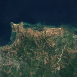
Stay nearby
Towns close by


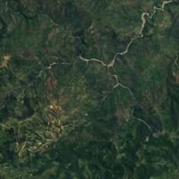
Satellite: Sentinel-2 cloudless 2016 by EOX IT Services GmbH · CC BY 4.0 · Contains modified Copernicus Sentinel data 2016
Saboria
Aileu · 21 km S
28°Oct high
5wet days
74score

Photo: Innenministerium Osttimors · Public domain · Wikimedia CommonsReport this photo · linked, not stored
Aissirimou
Aileu · 21 km S
29°Oct high
5wet days
72score
Around here
Dili and around
Nature

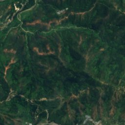
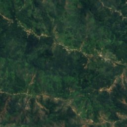
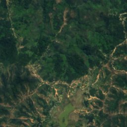
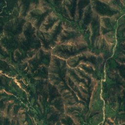
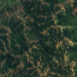
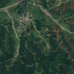
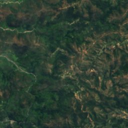
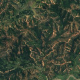
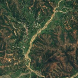
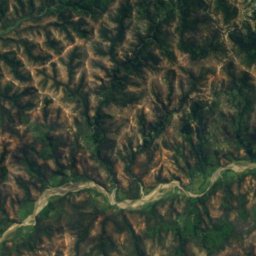
Satellite: Sentinel-2 cloudless 2016 by EOX IT Services GmbH · CC BY 4.0 · Contains modified Copernicus Sentinel data 2016
Lago Seloi
Lake
Mountains
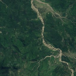
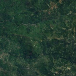
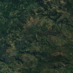
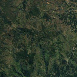
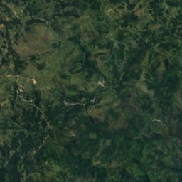
Satellite: Sentinel-2 cloudless 2016 by EOX IT Services GmbH · CC BY 4.0 · Contains modified Copernicus Sentinel data 2016
Tatamailau
2,963 m · Ramelau
Satellite: Sentinel-2 cloudless 2016 by EOX IT Services GmbH · CC BY 4.0 · Contains modified Copernicus Sentinel data 2016
Foho Olopana
1,791 m
Satellite: Sentinel-2 cloudless 2016 by EOX IT Services GmbH · CC BY 4.0 · Contains modified Copernicus Sentinel data 2016
Foho Manulau
1,714 m
Heritage


Museums



Satellite: Sentinel-2 cloudless 2016 by EOX IT Services GmbH · CC BY 4.0 · Contains modified Copernicus Sentinel data 2016
Timorese Resistance Archive and Museum
2005