Nature
Waters, ice and wild places of Djibouti
Lakes, waterfalls, glaciers, national parks and mountain huts, each with its location, its size and the weather of the towns around it.
Lakes12with a page
National parks2with a page
Beaches5with a page
Islands29with a page

Lakes
Lakes of Djibouti
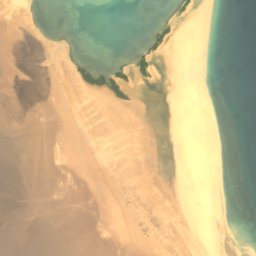

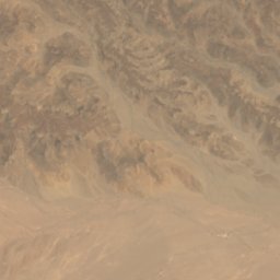
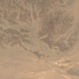
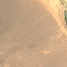
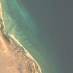

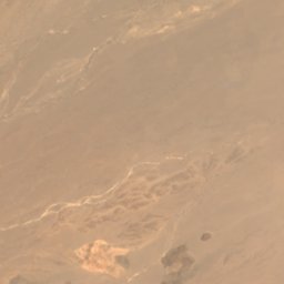
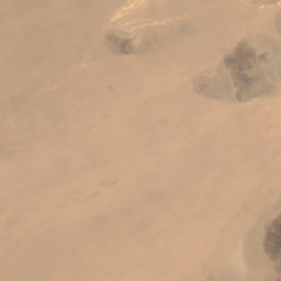
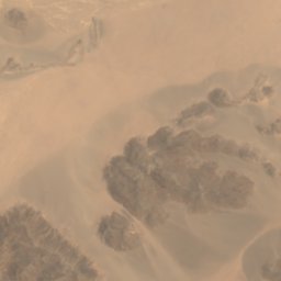
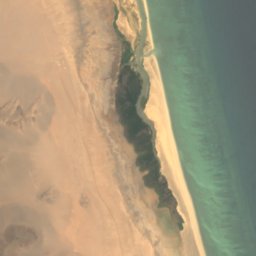

Satellite: Sentinel-2 cloudless 2016 by EOX IT Services GmbH · CC BY 4.0 · Contains modified Copernicus Sentinel data 2016
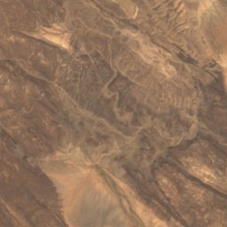
'Angârou
Khôr ‘Angar, Obock
5 m
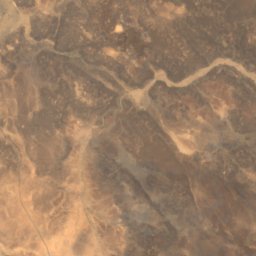
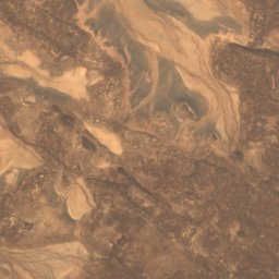
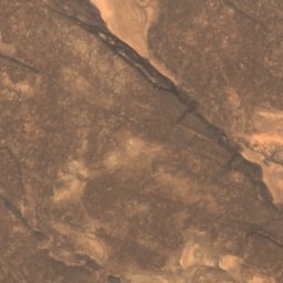
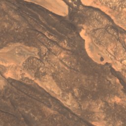
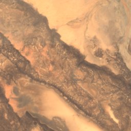
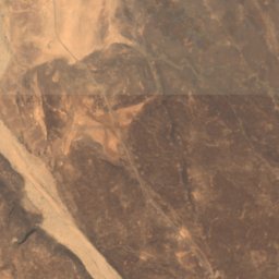
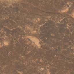
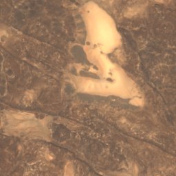
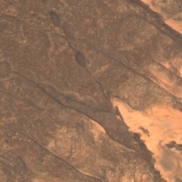
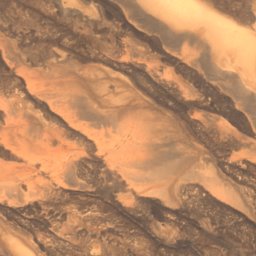
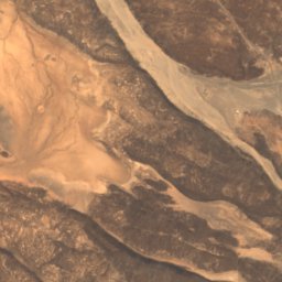
Satellite: Sentinel-2 cloudless 2016 by EOX IT Services GmbH · CC BY 4.0 · Contains modified Copernicus Sentinel data 2016
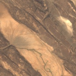
Af‘assi
Dikhil, Dikhil
378 m
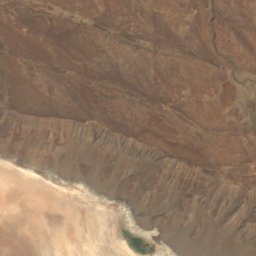
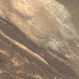
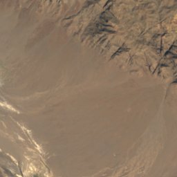
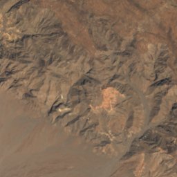
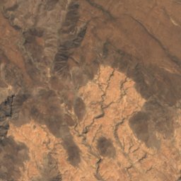
Satellite: Sentinel-2 cloudless 2016 by EOX IT Services GmbH · CC BY 4.0 · Contains modified Copernicus Sentinel data 2016
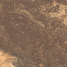
Amẖarta Ḏâ
Yoboki, Dikhil
262 m
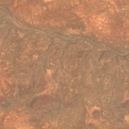
Satellite: Sentinel-2 cloudless 2016 by EOX IT Services GmbH · CC BY 4.0 · Contains modified Copernicus Sentinel data 2016
Dabaïyéï
Damerdjog, Djibouti
131 m
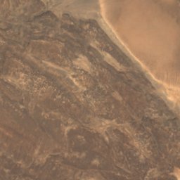
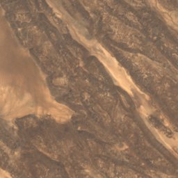
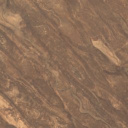
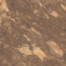
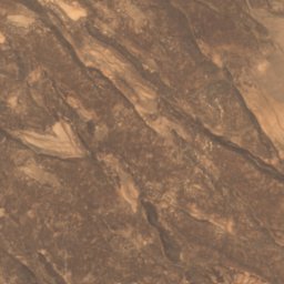
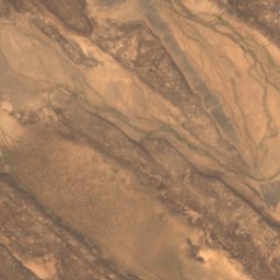
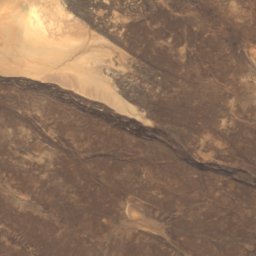
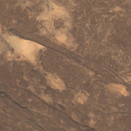
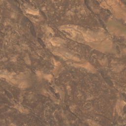
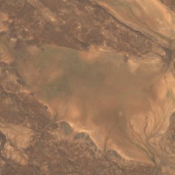
Satellite: Sentinel-2 cloudless 2016 by EOX IT Services GmbH · CC BY 4.0 · Contains modified Copernicus Sentinel data 2016
Guinni Bad
Yoboki, Dikhil
459 m
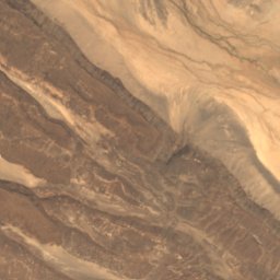
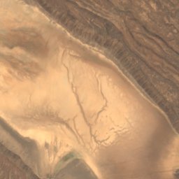
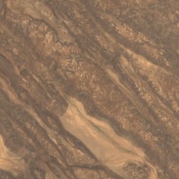
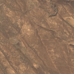
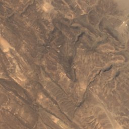
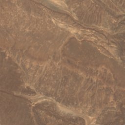
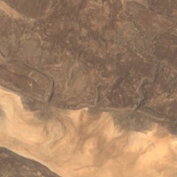
Satellite: Sentinel-2 cloudless 2016 by EOX IT Services GmbH · CC BY 4.0 · Contains modified Copernicus Sentinel data 2016
Isihwê‘e
Yoboki, Dikhil
518 m
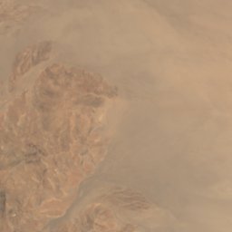
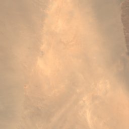
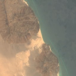


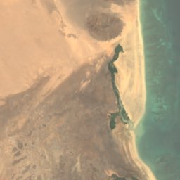



Satellite: Sentinel-2 cloudless 2016 by EOX IT Services GmbH · CC BY 4.0 · Contains modified Copernicus Sentinel data 2016
Kaḏḏa Godorya
Obock, Obock
6 m
Satellite: Sentinel-2 cloudless 2016 by EOX IT Services GmbH · CC BY 4.0 · Contains modified Copernicus Sentinel data 2016
Kaḏḏa H̱elan
Yoboki, Dikhil
118 m
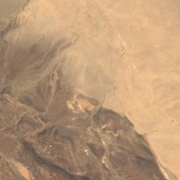
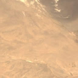
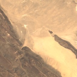
Satellite: Sentinel-2 cloudless 2016 by EOX IT Services GmbH · CC BY 4.0 · Contains modified Copernicus Sentinel data 2016
Ouaïḏi‘lou
Yoboki, Dikhil
445 m
National parks
National parks of Djibouti

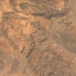
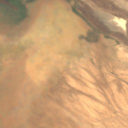
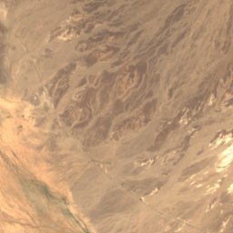
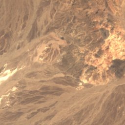
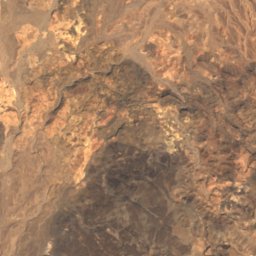
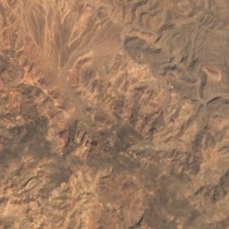
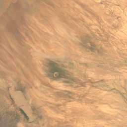
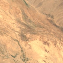
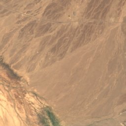
Satellite: Sentinel-2 cloudless 2016 by EOX IT Services GmbH · CC BY 4.0 · Contains modified Copernicus Sentinel data 2016
Yoboki National Park
Yoboki, Dikhil
Beaches
Beaches of Djibouti
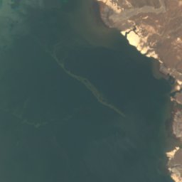
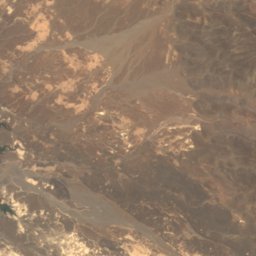
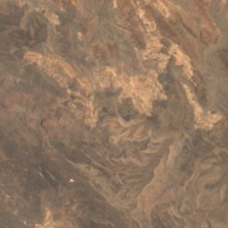
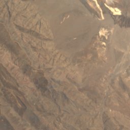
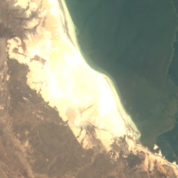
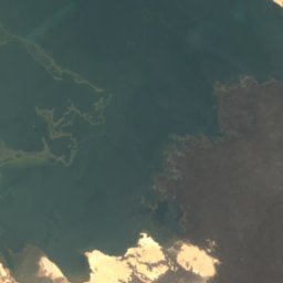
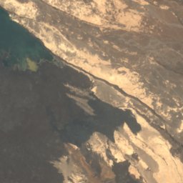
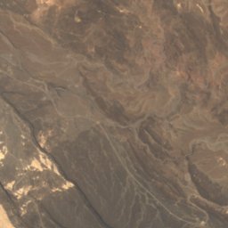
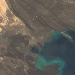
Satellite: Sentinel-2 cloudless 2016 by EOX IT Services GmbH · CC BY 4.0 · Contains modified Copernicus Sentinel data 2016
Manda
Airolaf, Tadjourah
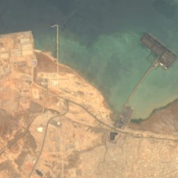
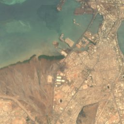
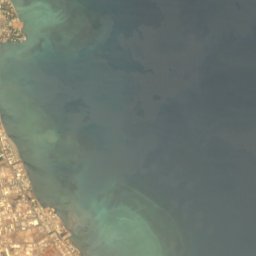

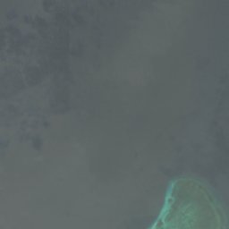
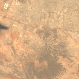
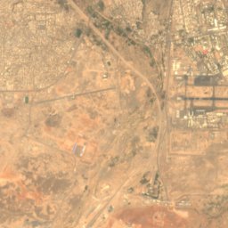
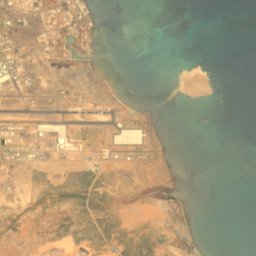
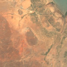
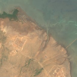
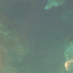
Satellite: Sentinel-2 cloudless 2016 by EOX IT Services GmbH · CC BY 4.0 · Contains modified Copernicus Sentinel data 2016
Na‘asléï
Damerdjog, Djibouti
5 m


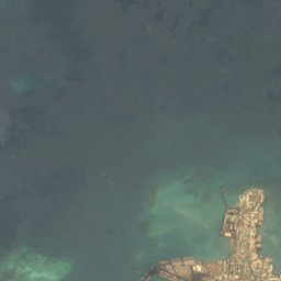
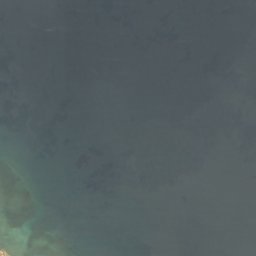

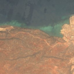
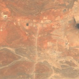
Satellite: Sentinel-2 cloudless 2016 by EOX IT Services GmbH · CC BY 4.0 · Contains modified Copernicus Sentinel data 2016
Salines Est
Djibouti, Djibouti
7 m
Satellite: Sentinel-2 cloudless 2016 by EOX IT Services GmbH · CC BY 4.0 · Contains modified Copernicus Sentinel data 2016
Salines Ouest
Djibouti, Djibouti








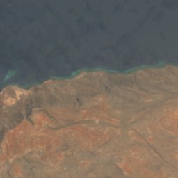
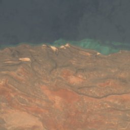
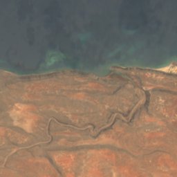
Satellite: Sentinel-2 cloudless 2016 by EOX IT Services GmbH · CC BY 4.0 · Contains modified Copernicus Sentinel data 2016
Khor Ambado Beach
Djibouti, Djibouti
Islands
Islands of Djibouti







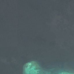
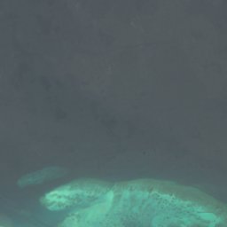

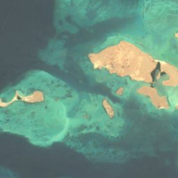
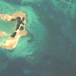
Satellite: Sentinel-2 cloudless 2016 by EOX IT Services GmbH · CC BY 4.0 · Contains modified Copernicus Sentinel data 2016
Moucha Island
Djibouti, Djibouti





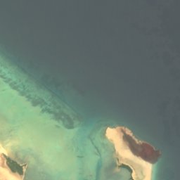


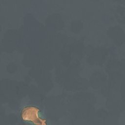

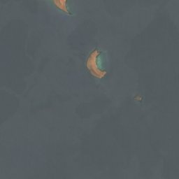

Satellite: Sentinel-2 cloudless 2016 by EOX IT Services GmbH · CC BY 4.0 · Contains modified Copernicus Sentinel data 2016
Kaḏḏa Dâbali
Khôr ‘Angar, Obock
11 m
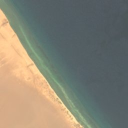



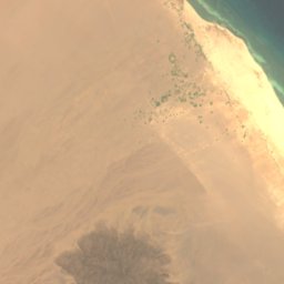
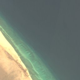
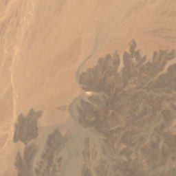
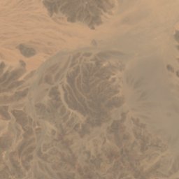
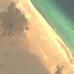
Satellite: Sentinel-2 cloudless 2016 by EOX IT Services GmbH · CC BY 4.0 · Contains modified Copernicus Sentinel data 2016
Siyyân H̱imâr
Khôr ‘Angar, Obock

Satellite: Sentinel-2 cloudless 2016 by EOX IT Services GmbH · CC BY 4.0 · Contains modified Copernicus Sentinel data 2016
Ile Warramous Island
Djibouti, Djibouti
Satellite: Sentinel-2 cloudless 2016 by EOX IT Services GmbH · CC BY 4.0 · Contains modified Copernicus Sentinel data 2016
Abou Maya Island
Dikhil, Dikhil
7 m
Satellite: Sentinel-2 cloudless 2016 by EOX IT Services GmbH · CC BY 4.0 · Contains modified Copernicus Sentinel data 2016
Rocher Siyyan
Khôr ‘Angar, Obock



Satellite: Sentinel-2 cloudless 2016 by EOX IT Services GmbH · CC BY 4.0 · Contains modified Copernicus Sentinel data 2016
Maskal
Djibouti, Djibouti



Satellite: Sentinel-2 cloudless 2016 by EOX IT Services GmbH · CC BY 4.0 · Contains modified Copernicus Sentinel data 2016
H̱orod le ‘Ale
Khôr ‘Angar, Obock
42 m
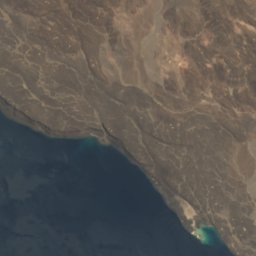
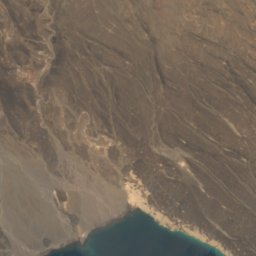
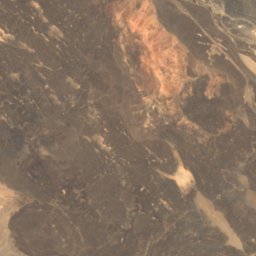
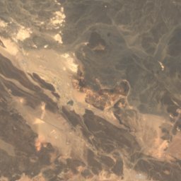
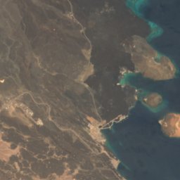
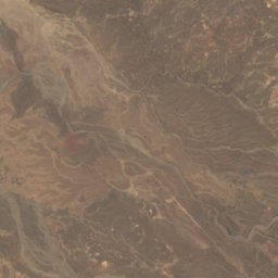
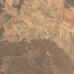
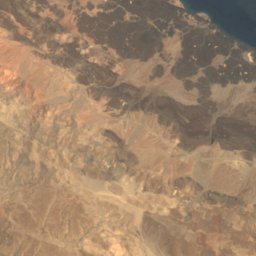
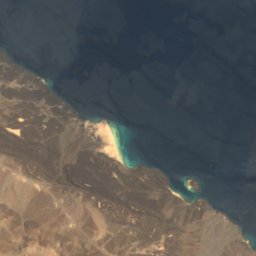

Satellite: Sentinel-2 cloudless 2016 by EOX IT Services GmbH · CC BY 4.0 · Contains modified Copernicus Sentinel data 2016
Guinni Kôma
Airolaf, Tadjourah
100 m
All 29 islands
- Abou Maya Island
- Banc de La Clocheterie
- Banc de la Pointe Noire
- Banc des Salines
- Banc du Héron
- Banc du Pingouin
- Banc du Surcouf
- Banc El Hadj
- Banc Gutta Tella
- Banc Moidubis Kebir
- Banc Moidubis Seghir
- Banc Ousal
- Doloktiya
- Grand Récif
- Guinni Kôma
- H̱amra
- H̱orod le ‘Ale
- Ile Warramous Island
- Kaḏḏa Dâbali
- Lebnaan
- Maskal
- Moucha Island
- Ouaramous
- Récif d'Ambouli
- Récif du Météore
- Rocher Siyyan
- Shaab Turuxaad
- Siyyân H̱imâr
- Tolka
Caves


