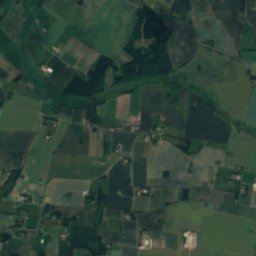
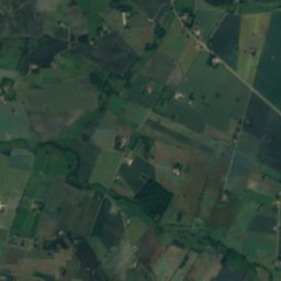
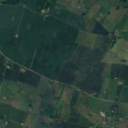
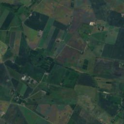
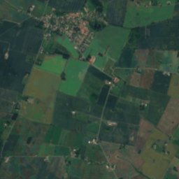
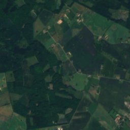
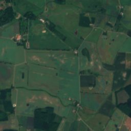
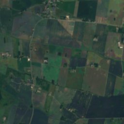
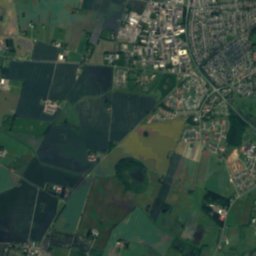
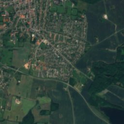
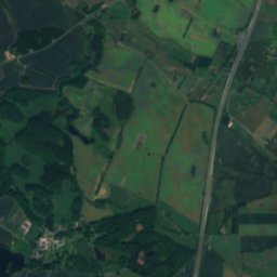
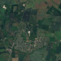
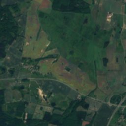
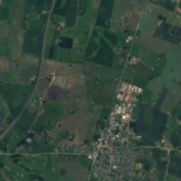
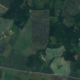
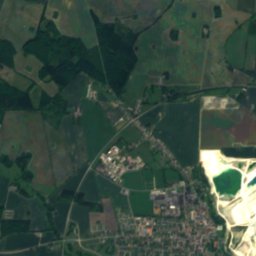
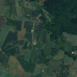
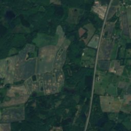
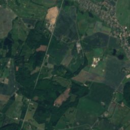
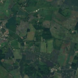
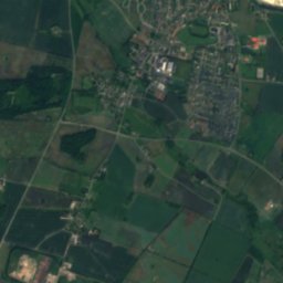
Satellite: Sentinel-2 cloudless 2016 by EOX IT Services GmbH · CC BY 4.0 · Contains modified Copernicus Sentinel data 2016
LakeHaslev, Zealand
Ulse Sø
Lake50 m elevationBest Jun–Jul · Sep
Elevation50 mabove sea level
Area0.5 km²surface
Nearest townHaslev4.1 km
55.30° N, 12.01° EElevation 50 mUTC+1 · Central European Standard Time
When to goHaslev · weather score
Best timeJun–Jul · Sep
October: high / low13° / 7°
Lake
Ulse Sø in brief
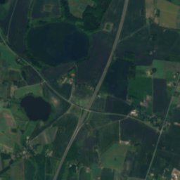
Ulse Sø is a lake in Haslev, Zealand, Denmark.
It lies at 50 m above sea level and covers about 0.5 km².
The nearest town is Haslev, 4.1 km to the NW, where the weather is best in June, July and September.
Weather nearby now
Forecast for Haslev8°
Rain now
Today
25 Oct
13°
7°
13 mm
Mon
26 Oct
13°
9°
1 mm
Tue
27 Oct
14°
9°
2 mm
Wed
28 Oct
14°
9°
2 mm
Thu
29 Oct
14°
9°
1 mm
Model run 12:00 UTCRefreshed several times a day
The lake's water
Surface, average depth and volume of the lake, and the length of its shore.Surface0.5 km²
Average depth4 m
Volume2 million m³
Shoreline2.4 km
When to go
Climate of HaslevThe best months around Ulse Sø
Month score in Haslev
Comfort, dry days and sunshine · out of 10016
Jan
23
Feb
27
Mar
46
Apr
66
May
70
Jun
67
Jul
65
Aug
70
Sep
34
Oct
17
Nov
14
Dec
Map
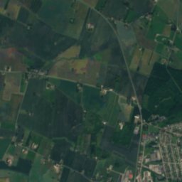
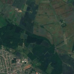
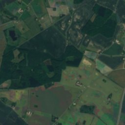
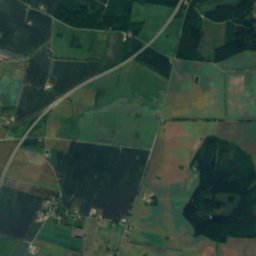
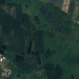
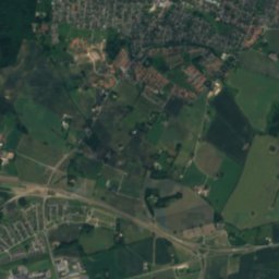
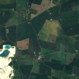
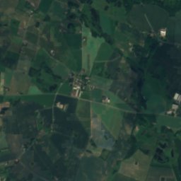
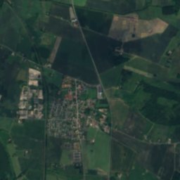
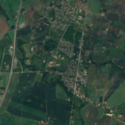
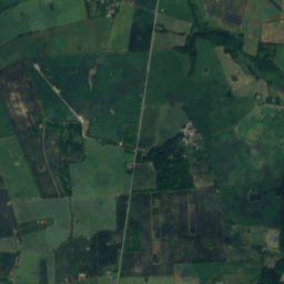
Ulse Sø from above
Nature nearbyAll of Denmark
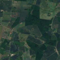
Satellite: Sentinel-2 cloudless 2016 by EOX IT Services GmbH · CC BY 4.0 · Contains modified Copernicus Sentinel data 2016
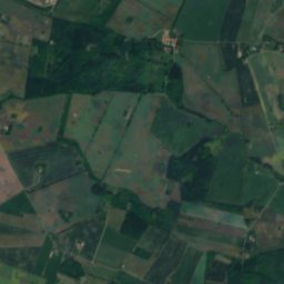
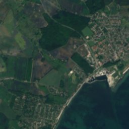
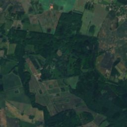
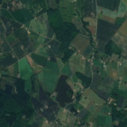
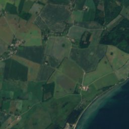
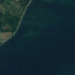

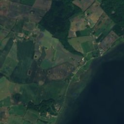
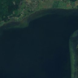
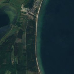


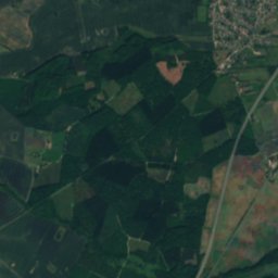
Satellite: Sentinel-2 cloudless 2016 by EOX IT Services GmbH · CC BY 4.0 · Contains modified Copernicus Sentinel data 2016
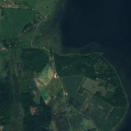
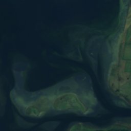
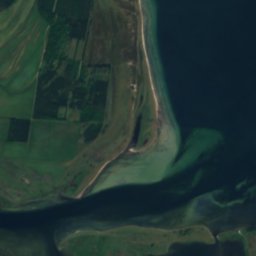

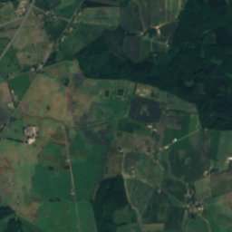
Satellite: Sentinel-2 cloudless 2016 by EOX IT Services GmbH · CC BY 4.0 · Contains modified Copernicus Sentinel data 2016
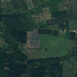
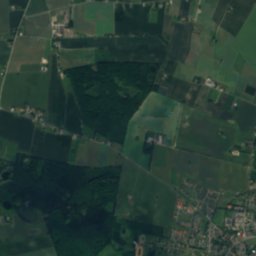
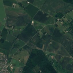
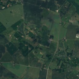
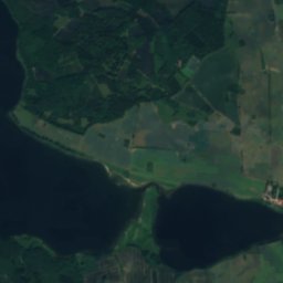
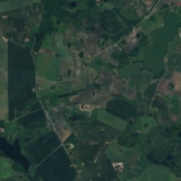
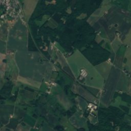
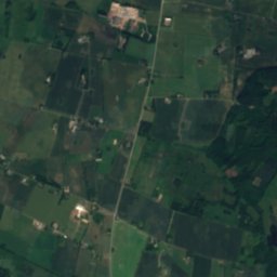
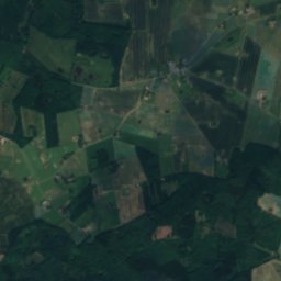
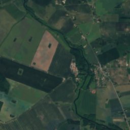
Satellite: Sentinel-2 cloudless 2016 by EOX IT Services GmbH · CC BY 4.0 · Contains modified Copernicus Sentinel data 2016



Satellite: Sentinel-2 cloudless 2016 by EOX IT Services GmbH · CC BY 4.0 · Contains modified Copernicus Sentinel data 2016
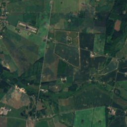
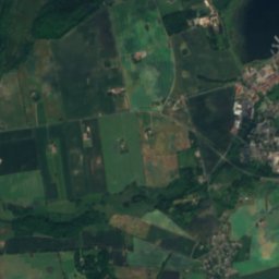
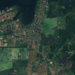
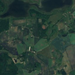
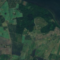
Satellite: Sentinel-2 cloudless 2016 by EOX IT Services GmbH · CC BY 4.0 · Contains modified Copernicus Sentinel data 2016


Around here
Haslev and around
Nature
Satellite: Sentinel-2 cloudless 2016 by EOX IT Services GmbH · CC BY 4.0 · Contains modified Copernicus Sentinel data 2016
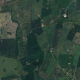
Torup Sø, Zealand
Lake · 55 m
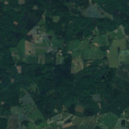
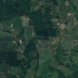
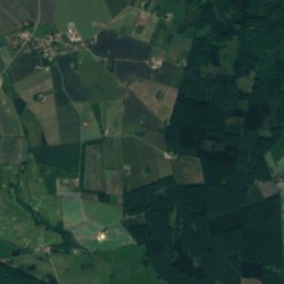
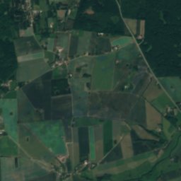
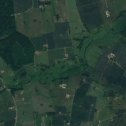

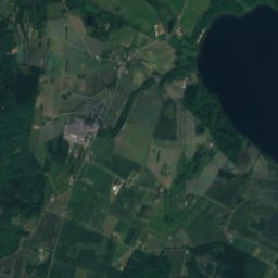
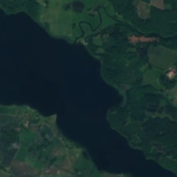
Satellite: Sentinel-2 cloudless 2016 by EOX IT Services GmbH · CC BY 4.0 · Contains modified Copernicus Sentinel data 2016
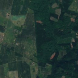
Tystrup Sø
Lake · 5 m

Photo: Nils Jepsen /user:Nico · CC BY-SA 4.0 · Wikimedia CommonsReport this photo · linked, not stored
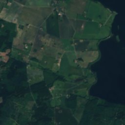
Haraldsted Lake
Lake · 17 m
Heritage

Photo: Fc Nikon ( OFF Taking a break ) · CC BY-SA 2.0 · Wikimedia CommonsReport this photo · linked, not stored
Bregentved
monument on Kulturstyrelsen register · 1891

Satellite: Sentinel-2 cloudless 2016 by EOX IT Services GmbH · CC BY 4.0 · Contains modified Copernicus Sentinel data 2016
Sparresholm
monument on Kulturstyrelsen register
Museums
Satellite: Sentinel-2 cloudless 2016 by EOX IT Services GmbH · CC BY 4.0 · Contains modified Copernicus Sentinel data 2016
Haslev Stationsbymuseum


Satellite: Sentinel-2 cloudless 2016 by EOX IT Services GmbH · CC BY 4.0 · Contains modified Copernicus Sentinel data 2016
SEAS-NVE Elmuseum
Technology museum · 1978


