





















Skip to content
Destinations
Weather & climate
Nature
Outdoors
Culture
Events
Sky & live
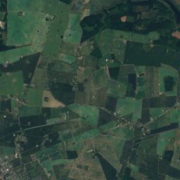
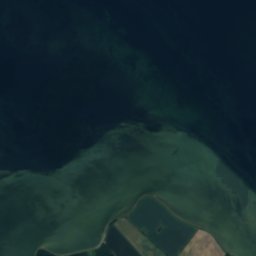
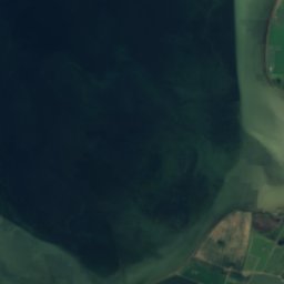
Satellite: Sentinel-2 cloudless 2016 by EOX IT Services GmbH · CC BY 4.0 · Contains modified Copernicus Sentinel data 2016
IslandBandholm, Zealand

Stemmetofte

IslandBest Jun–Jul · Sep
Elevation–above sea level
Area–surface
Nearest townBandholm10 km
54.92° N, 11.56° EUTC+1 · Central European Standard Time
When to goBandholm · weather score
JanFebMarAprMayJunJulAugSepOctNovDec34October
Best timeJun–Jul · Sep
October: high / low13° / 9°
Island

Stemmetofte in brief

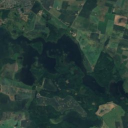
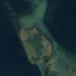
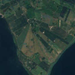
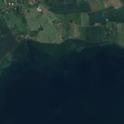
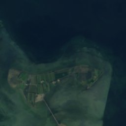
Stemmetofte is an island in Bandholm, Zealand, Denmark.

The nearest town is Bandholm, 10 km to the SW, where the weather is best in June, July and September.

Bandholm: weather and travel guide

Weather nearby now

Forecast for Bandholm
10°
Partly cloudy now
Wind33 km/h
Humidity87%
Cloud cover38%
Today
25 Oct
14°
8°
15 mm
Mon
26 Oct
13°
9°
1 mm
Tue
27 Oct
15°
10°
Wed
28 Oct
14°
9°
1 mm
Thu
29 Oct
14°
8°
3 mm

Model run 00:00 UTCRefreshed several times a day

When to go

The best months around Stemmetofte

Climate of Bandholm

Month score in Bandholm

Comfort, dry days and sunshine · out of 100
15
Jan
22
Feb
28
Mar
37
Apr
57
May
72
Jun
66
Jul
65
Aug
67
Sep
34
Oct
19
Nov
14
Dec
Map

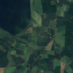
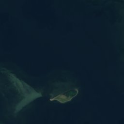
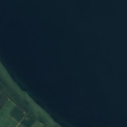
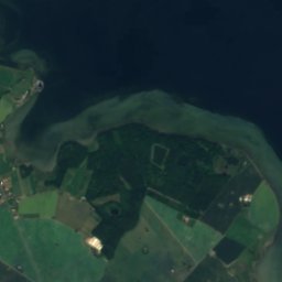
Stemmetofte from above

Nature nearbyAll of Denmark
Satellite: Sentinel-2 cloudless 2016 by EOX IT Services GmbH · CC BY 4.0 · Contains modified Copernicus Sentinel data 2016
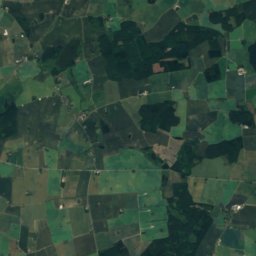
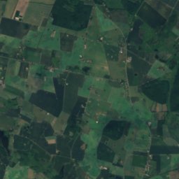
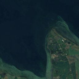
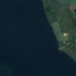
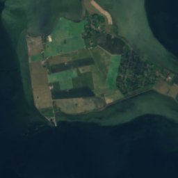
KulmandenIsland2.4 kmSWKulmanden
Satellite: Sentinel-2 cloudless 2016 by EOX IT Services GmbH · CC BY 4.0 · Contains modified Copernicus Sentinel data 2016
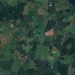
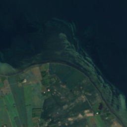
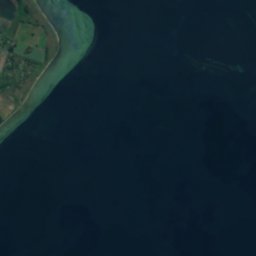
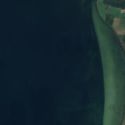
Grønvold GrundIsland2.5 kmNWGrønvold Grund
Satellite: Sentinel-2 cloudless 2016 by EOX IT Services GmbH · CC BY 4.0 · Contains modified Copernicus Sentinel data 2016
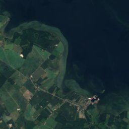
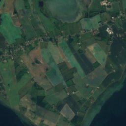
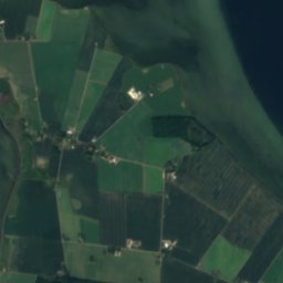
Femø SletterevIsland3.2 kmNWFemø Sletterev
Satellite: Sentinel-2 cloudless 2016 by EOX IT Services GmbH · CC BY 4.0 · Contains modified Copernicus Sentinel data 2016
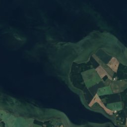
Vigsø FlakIsland3.8 kmEVigsø Flak
Satellite: Sentinel-2 cloudless 2016 by EOX IT Services GmbH · CC BY 4.0 · Contains modified Copernicus Sentinel data 2016
VigsøIsland4.6 kmEVigsø
Satellite: Sentinel-2 cloudless 2016 by EOX IT Services GmbH · CC BY 4.0 · Contains modified Copernicus Sentinel data 2016
HjulsandIsland5.0 kmEHjulsand
Stay nearby

Towns close by
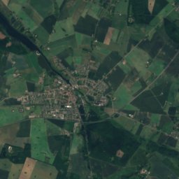
Bandholm
Photo: Hubertus45 · CC BY-SA 3.0 · Wikimedia CommonsReport this photo · linked, not stored

Bandholm

Zealand · 10 km SW
13°Oct high
14wet days
34score
Bandholm
Guldborg
Photo: I, Lcl · CC BY-SA 3.0 · Wikimedia CommonsReport this photo · linked, not stored

Guldborg

Zealand · 12 km SE
13°Oct high
14wet days
34score
Guldborg
Sakskøbing
Photo: Sir48 · CC BY-SA 3.0 · Wikimedia CommonsReport this photo · linked, not stored

Sakskøbing

Zealand · 14 km S
13°Oct high
14wet days
35score
Sakskøbing
Satellite: Sentinel-2 cloudless 2016 by EOX IT Services GmbH · CC BY 4.0 · Contains modified Copernicus Sentinel data 2016

Hunseby

Zealand · 14 km S
13°Oct high
14wet days
34score
Hunseby
Around here

Bandholm and around

Bandholm
Photo: Hubertus45 · CC BY-SA 3.0 · Wikimedia CommonsReport this photo · linked, not stored

Bandholm

Zealand · Denmark
Jun–Jul · Sepbest months
21°July high
4 maltitude
Bandholm

Nature

Søndersø, Zealand
Photo: Dinkum · CC0 · Wikimedia CommonsReport this photo · linked, not stored
9.1 km S

Søndersø, Zealand

Lake · 5 m
Søndersø, Zealand
Røgbølle Sø
Photo: Erik Damskier · Public domain · Wikimedia CommonsReport this photo · linked, not stored
14 km SE

Røgbølle Sø

Lake · 6 m
Røgbølle Sø
Hejrede Sø
Photo: Erik Damskier · Public domain · Wikimedia CommonsReport this photo · linked, not stored
13 km SE

Hejrede Sø

Lake · 6 m
Hejrede Sø

Heritage

Maribo Abbey
Photo: Toxophilus · CC BY-SA 4.0 · Wikimedia CommonsReport this photo · linked, not stored
7.1 km S

Maribo Abbey

protected ancient monument in Denmark · 1401
Maribo Abbey
Ravnsborg
Photo: Lars Bo Wassini · CC BY-SA 3.0 · Wikimedia CommonsReport this photo · linked, not stored
10 km NW

Ravnsborg

protected ancient monument in Denmark · 1330
Ravnsborg
Refshaleborg
Photo: Toxophilus · CC BY-SA 4.0 · Wikimedia CommonsReport this photo · linked, not stored
9.4 km S

Refshaleborg

protected ancient monument in Denmark · 1100
Refshaleborg

Museums

Satellite: Sentinel-2 cloudless 2016 by EOX IT Services GmbH · CC BY 4.0 · Contains modified Copernicus Sentinel data 2016
3.4 km S

Museumsbanen Maribo-Bandholm

Heritage railway
Museumsbanen Maribo-Bandholm
Maribo Open-Air Museum
Photo: Toxophilus · CC BY-SA 4.0 · Wikimedia CommonsReport this photo · linked, not stored
7.4 km S

Maribo Open-Air Museum

Open-air museum · 1927
Maribo Open-Air Museum
Satellite: Sentinel-2 cloudless 2016 by EOX IT Services GmbH · CC BY 4.0 · Contains modified Copernicus Sentinel data 2016
6.8 km S

Stiftsmuseum Maribo

1879
Stiftsmuseum Maribo