Skip to content
Destinations
Weather & climate
Nature
Outdoors
Culture
Events
Sky & live
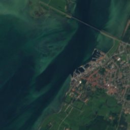
Siø
Photo: Hubertus45 · CC BY-SA 3.0 · Wikimedia Commons
SiøReport this photo · linked, not stored
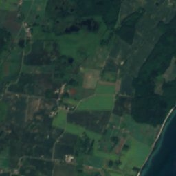
Tåsinge
Photo: Pymouss · CC BY-SA 4.0 · Wikimedia Commons
TåsingeReport this photo · linked, not stored
Tåsinge
IslandRudkøbing, South Denmark

Siø

IslandBest Jun–Aug
Elevation–above sea level
Area1.3 km²surface
Nearest townRudkøbing2.3 km
54.95° N, 10.69° EUTC+1 · Central European Standard Time
When to goRudkøbing · weather score
JanFebMarAprMayJunJulAugSepOctNovDec33October
Best timeJun–Aug
October: high / low13° / 9°
Island

Siø in brief

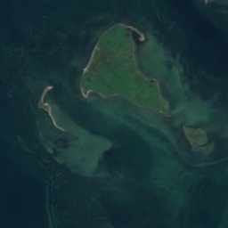
Siø is an island in Rudkøbing, South Denmark, Denmark.

It covers about 1.3 km².

The nearest town is Rudkøbing, 2.3 km to the SE, where the weather is best in June, July and August.

Rudkøbing: weather and travel guide

Weather nearby now

Forecast for Rudkøbing
14°
Rain now
Wind26 km/h
Humidity83%
Cloud cover100%
Today
27 Oct
15°
11°
1 mm
Wed
28 Oct
14°
11°
2 mm
Thu
29 Oct
14°
11°
1 mm
Fri
30 Oct
14°
10°
Sat
31 Oct
13°
10°

Model run 00:00 UTCRefreshed several times a day

The island from above

1.3 km² · coastline as mapped in OpenStreetMap
500 m
When to go

The best months around Siø

Climate of Rudkøbing

Month score in Rudkøbing

Comfort, dry days and sunshine · out of 100
14
Jan
23
Feb
28
Mar
34
Apr
53
May
71
Jun
66
Jul
65
Aug
65
Sep
33
Oct
19
Nov
14
Dec
Map

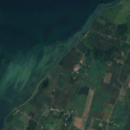
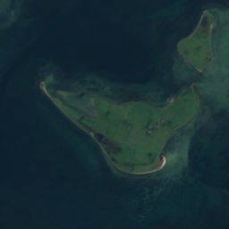
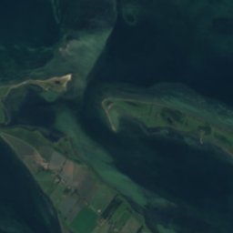
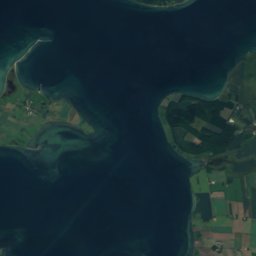
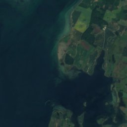
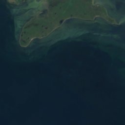
Siø from above

Nature nearbyAll of Denmark
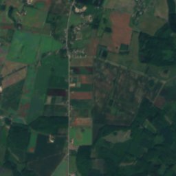
Satellite: Sentinel-2 cloudless 2016 by EOX IT Services GmbH · CC BY 4.0 · Contains modified Copernicus Sentinel data 2016
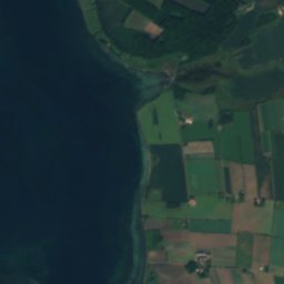
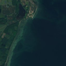
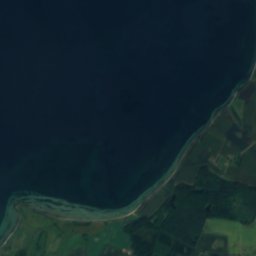
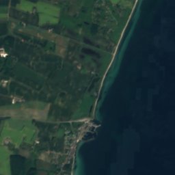
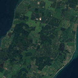
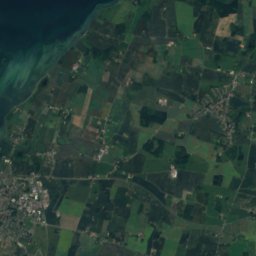
Middelgrund, RudkøbingIsland2.8 kmNEMiddelgrund, Rudkøbing
Satellite: Sentinel-2 cloudless 2016 by EOX IT Services GmbH · CC BY 4.0 · Contains modified Copernicus Sentinel data 2016
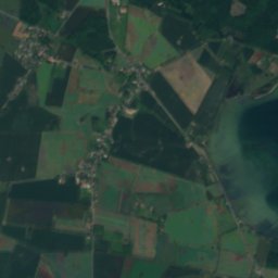
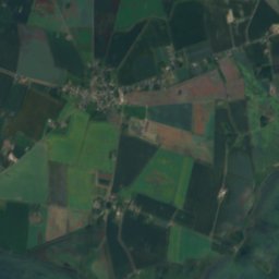
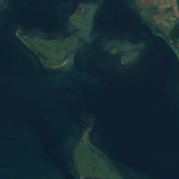
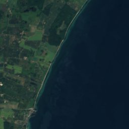
Tåsinge GrundIsland5.2 kmWTåsinge Grund
Satellite: Sentinel-2 cloudless 2016 by EOX IT Services GmbH · CC BY 4.0 · Contains modified Copernicus Sentinel data 2016
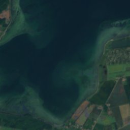
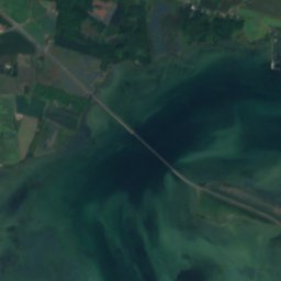
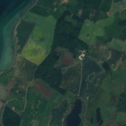
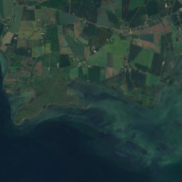
LangelandIsland6.2 kmSELangeland
Satellite: Sentinel-2 cloudless 2016 by EOX IT Services GmbH · CC BY 4.0 · Contains modified Copernicus Sentinel data 2016
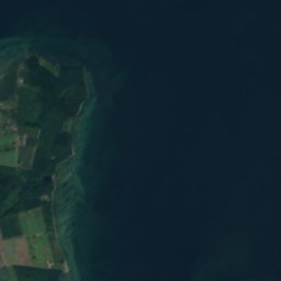
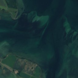
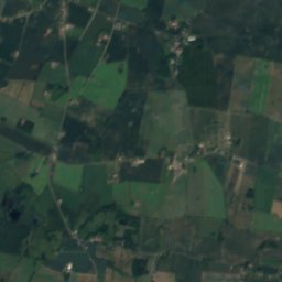
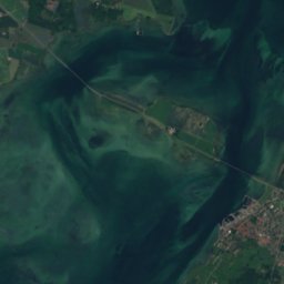
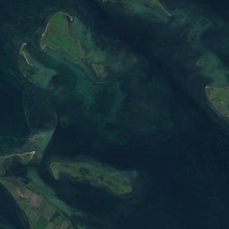
VogterholmIsland7.3 kmSWVogterholm
Satellite: Sentinel-2 cloudless 2016 by EOX IT Services GmbH · CC BY 4.0 · Contains modified Copernicus Sentinel data 2016
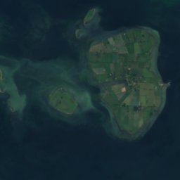
StrynøIsland7.4 kmSWStrynø
Photo: Pymouss · CC BY-SA 4.0 · Wikimedia CommonsReport this photo · linked, not stored
TåsingeIsland7.8 kmNWTåsinge
Stay nearby

Towns close by

Satellite: Sentinel-2 cloudless 2016 by EOX IT Services GmbH · CC BY 4.0 · Contains modified Copernicus Sentinel data 2016

Rudkøbing

South Denmark · 2.3 km SE
13°Oct high
14wet days
33score
Rudkøbing
Bjerreby
Photo: Wilfred Jensen · CC BY-SA 4.0 · Wikimedia CommonsReport this photo · linked, not stored

Bjerreby

South Denmark · 5.7 km W
13°Oct high
14wet days
33score
Bjerreby
Tullebølle
Photo: Hubertus · CC BY-SA 3.0 · Wikimedia CommonsReport this photo · linked, not stored

Tullebølle

South Denmark · 6.7 km E
13°Oct high
14wet days
33score
Tullebølle
Lundby
Photo: Wilfred Jensen · CC BY-SA 4.0 · Wikimedia CommonsReport this photo · linked, not stored

Lundby

South Denmark · 6.8 km NW
13°Oct high
14wet days
33score
Lundby
Around here

Rudkøbing and around

Satellite: Sentinel-2 cloudless 2016 by EOX IT Services GmbH · CC BY 4.0 · Contains modified Copernicus Sentinel data 2016
Rudkøbing

South Denmark · Denmark
Jun–Augbest months
20°July high
10 maltitude
Rudkøbing

Nature

Tåsinge
Photo: Pymouss · CC BY-SA 4.0 · Wikimedia CommonsReport this photo · linked, not stored
10 km NW

Tåsinge

Island · 5 m
Tåsinge
Satellite: Sentinel-2 cloudless 2016 by EOX IT Services GmbH · CC BY 4.0 · Contains modified Copernicus Sentinel data 2016
4.4 km E

Langeland

Island
Langeland
Satellite: Sentinel-2 cloudless 2016 by EOX IT Services GmbH · CC BY 4.0 · Contains modified Copernicus Sentinel data 2016
7.2 km SW

Strynø

Island
Strynø

Heritage

Valdemar's Castle
Photo: Szilas · Public domain · Wikimedia CommonsReport this photo · linked, not stored
10 km N

Valdemar's Castle

monument on Kulturstyrelsen register · 1643
Valdemar's Castle
Tranekær Slot
Photo: Franklin Heijnen · CC BY-SA 2.0 · Wikimedia CommonsReport this photo · linked, not stored
12 km NE

Tranekær Slot

monument on Kulturstyrelsen register
Tranekær Slot
Dyssekamre ved Bjergby
Photo: Praeceptor · CC BY-SA 3.0 · Wikimedia CommonsReport this photo · linked, not stored
4.5 km NE

Dyssekamre ved Bjergby

protected ancient monument in Denmark
Dyssekamre ved Bjergby

Museums

Danmarks Museum for Lystsejlads
Photo: Toxophilus · CC BY-SA 4.0 · Wikimedia CommonsReport this photo · linked, not stored
15 km N

Danmarks Museum for Lystsejlads

Danmarks Museum for Lystsejlads
Satellite: Sentinel-2 cloudless 2016 by EOX IT Services GmbH · CC BY 4.0 · Contains modified Copernicus Sentinel data 2016
12 km NW

Tåsinge Museum

Local museum · 1958
Tåsinge Museum