Skip to content
Destinations
Weather & climate
Nature
Outdoors
Culture
Events
Sky & live
Hostrup Sø
Photo: Hjart · CC BY-SA 4.0 · Wikimedia Commons
Hostrup SøReport this photo · linked, not stored
Søgård Sø
Photo: Hjart · CC BY-SA 4.0 · Wikimedia Commons
Søgård SøReport this photo · linked, not stored
Søgård Sø
Aabenraa Strand
Photo: Hjart · CC BY-SA 4.0 · Wikimedia Commons
Aabenraa StrandReport this photo · linked, not stored
Aabenraa Strand
LakeStubbæk, South Denmark

Hostrup Sø

Lake32 m elevationBest Jun–Aug
Elevation32 mabove sea level
Area2.0 km²surface
Nearest townStubbæk3.5 km
54.97° N, 9.43° EElevation 32 mUTC+1 · Central European Standard Time
When to goStubbæk · weather score
JanFebMarAprMayJunJulAugSepOctNovDec32October
Best timeJun–Aug
October: high / low13° / 7°
Lake

Hostrup Sø in brief

Hostrup Sø is a lake in Stubbæk, South Denmark, Denmark.

It lies at 32 m above sea level and covers about 2.0 km².

The nearest town is Stubbæk, 3.5 km to the N, where the weather is best in June, July and August.

Stubbæk: weather and travel guide

Weather nearby now

Forecast for Stubbæk
10°
Clear now
Wind30 km/h
Humidity62%
Cloud cover14%
Today
26 Oct
14°
9°
Tue
27 Oct
14°
9°
2 mm
Wed
28 Oct
15°
8°
3 mm
Thu
29 Oct
14°
8°
1 mm
Fri
30 Oct
12°
4°

Model run 12:00 UTCRefreshed several times a day

The lake's water

Surface, average depth and volume of the lake, and the length of its shore.
Surface2.0 km²
Average depth2 m
Volume4 million m³
Shoreline8.5 km
average depth 2 msurface at 32 m
When to go

The best months around Hostrup Sø

Climate of Stubbæk

Month score in Stubbæk

Comfort, dry days and sunshine · out of 100
14
Jan
22
Feb
26
Mar
45
Apr
64
May
70
Jun
66
Jul
65
Aug
65
Sep
32
Oct
15
Nov
14
Dec
Map

Hostrup Sø from above

Nature nearbyAll of Denmark
Photo: Hjart · CC BY-SA 4.0 · Wikimedia CommonsReport this photo · linked, not stored
Søgård SøLake3.6 kmSSøgård Sø
Photo: Hjart · CC BY-SA 4.0 · Wikimedia CommonsReport this photo · linked, not stored
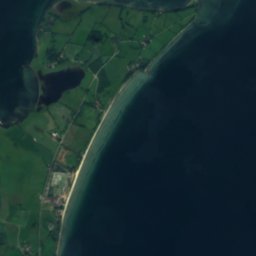
Aabenraa StrandBeach7.6 kmNAabenraa Strand
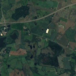
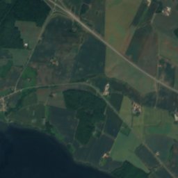
Satellite: Sentinel-2 cloudless 2016 by EOX IT Services GmbH · CC BY 4.0 · Contains modified Copernicus Sentinel data 2016
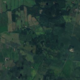
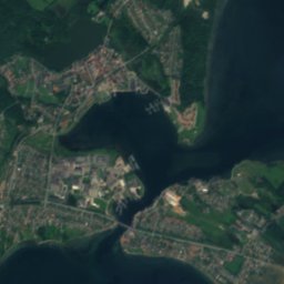
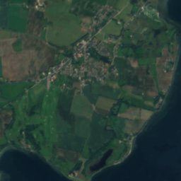
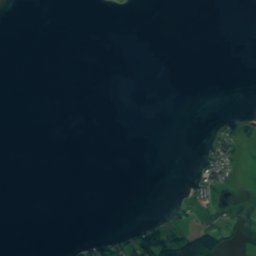
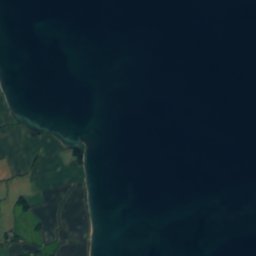
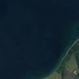
Vesterhage, EgernsundIsland12 kmSEVesterhage, Egernsund
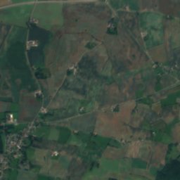
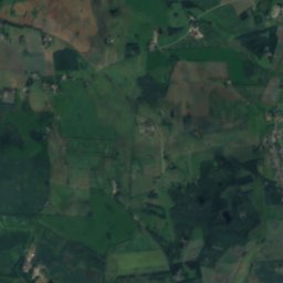
Satellite: Sentinel-2 cloudless 2016 by EOX IT Services GmbH · CC BY 4.0 · Contains modified Copernicus Sentinel data 2016
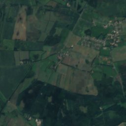
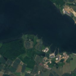
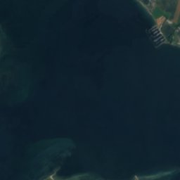
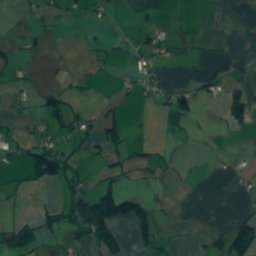
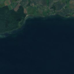
Munkemølle GrundIsland12 kmSEMunkemølle Grund
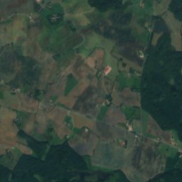
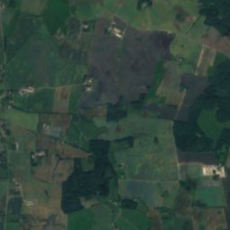
Satellite: Sentinel-2 cloudless 2016 by EOX IT Services GmbH · CC BY 4.0 · Contains modified Copernicus Sentinel data 2016
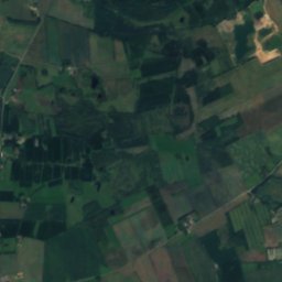
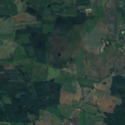
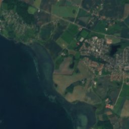
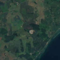
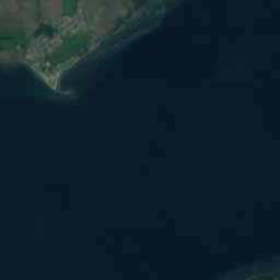
Dalsgård GrundIsland13 kmSEDalsgård Grund
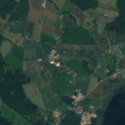
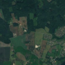
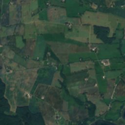
Satellite: Sentinel-2 cloudless 2016 by EOX IT Services GmbH · CC BY 4.0 · Contains modified Copernicus Sentinel data 2016
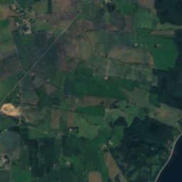
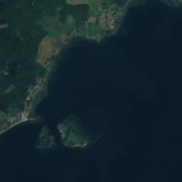
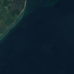
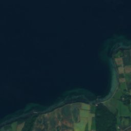
Varnæs HageIsland13 kmNEVarnæs Hage
Stay nearby

Towns close by

Stubbæk
Photo: Beethoven9 · CC BY-SA 4.0 · Wikimedia CommonsReport this photo · linked, not stored

Stubbæk

South Denmark · 3.5 km N
13°Oct high
14wet days
32score
Stubbæk
Kliplev
Photo: Hubertus · CC BY-SA 3.0 · Wikimedia CommonsReport this photo · linked, not stored

Kliplev

South Denmark · 3.5 km S
13°Oct high
14wet days
33score
Kliplev
Felsted
Photo: Beethoven9 · CC BY-SA 4.0 · Wikimedia CommonsReport this photo · linked, not stored

Felsted

South Denmark · 4.7 km E
13°Oct high
14wet days
33score
Felsted
Lundtoft
Photo: Beethoven9 · CC BY-SA 4.0 · Wikimedia CommonsReport this photo · linked, not stored

Lundtoft

South Denmark · 5.7 km S
13°Oct high
14wet days
32score
Lundtoft
Around here

Stubbæk and around

Stubbæk
Photo: Beethoven9 · CC BY-SA 4.0 · Wikimedia CommonsReport this photo · linked, not stored

Stubbæk

South Denmark · Denmark
Jun–Augbest months
22°July high
61 maltitude
Stubbæk

Nature

Søgård Sø
Photo: Hjart · CC BY-SA 4.0 · Wikimedia CommonsReport this photo · linked, not stored
6.9 km S

Søgård Sø

Lake · 35 m
Søgård Sø
Slivsø
Photo: Hjart · CC BY-SA 4.0 · Wikimedia CommonsReport this photo · linked, not stored
20 km N

Slivsø

Lake
Slivsø
Roikier See
Photo: Moonwalker74 · Public domain · Wikimedia CommonsReport this photo · linked, not stored
20 km S

Roikier See

Lake
Roikier See

Heritage

Kunstmuseet Brundlund Slot
Photo: Hjart · CC BY-SA 4.0 · Wikimedia CommonsReport this photo · linked, not stored
4.9 km N

Kunstmuseet Brundlund Slot

monument on Kulturstyrelsen register
Kunstmuseet Brundlund Slot
Povls Bridge
Photo: Jørgen Rasmussen · Public domain · Wikimedia CommonsReport this photo · linked, not stored
6.9 km SW

Povls Bridge

protected ancient monument in Denmark · 1744
Povls Bridge
Gejlaa Bridge
Photo: Jørgen Rasmussen · Public domain · Wikimedia CommonsReport this photo · linked, not stored
12 km S

Gejlaa Bridge

protected ancient monument in Denmark · 1818
Gejlaa Bridge

Museums

Kunst Museum Panbo
Photo: Hjart · CC BY-SA 4.0 · Wikimedia CommonsReport this photo · linked, not stored
8.6 km NW

Kunst Museum Panbo

Art museum · 2018
Kunst Museum Panbo
Rundemølle
Photo: Hjart · CC BY-SA 4.0 · Wikimedia CommonsReport this photo · linked, not stored
13 km N

Rundemølle

Local museum
Rundemølle
Jacob Michelsens Gård
Photo: Hjart · CC BY-SA 4.0 · Wikimedia CommonsReport this photo · linked, not stored
6.2 km N

Jacob Michelsens Gård

Local museum
Jacob Michelsens Gård