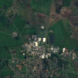
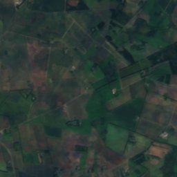
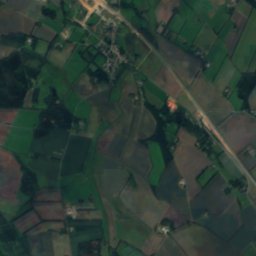
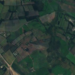
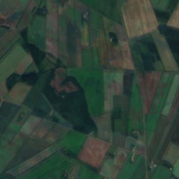
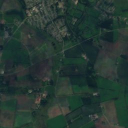
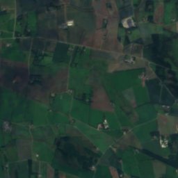
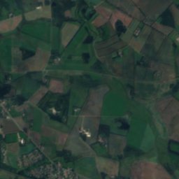
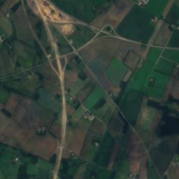
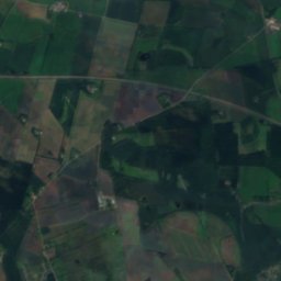
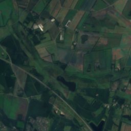
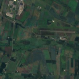
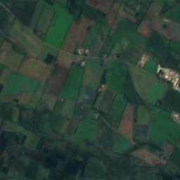
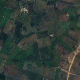
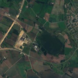
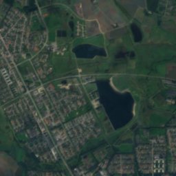
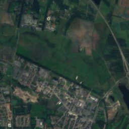
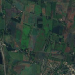
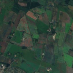
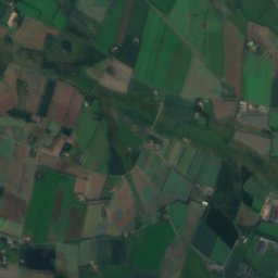
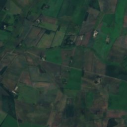
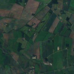
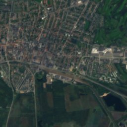
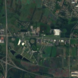
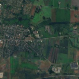
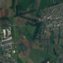
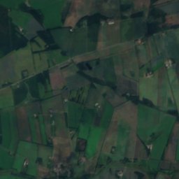
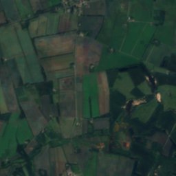
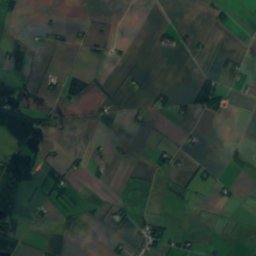
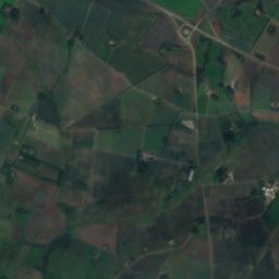
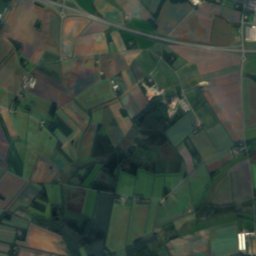
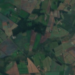
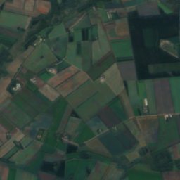
Satellite: Sentinel-2 cloudless 2016 by EOX IT Services GmbH · CC BY 4.0 · Contains modified Copernicus Sentinel data 2016
 Fuglsang Lake

Photo: Nils Jepsen /User:Nico · CC BY-SA 4.0 · Wikimedia Commons
Sunds SøReport this photo · linked, not stored
Sunds SøSunds SøReport this photo · linked, not stored
LakeHerning, Central Jutland
Flensborg Sø
Lake49 m elevationBest Jun–Aug
Elevation49 mabove sea level
Area–surface
Nearest townHerning1.6 km
56.12° N, 8.98° EElevation 49 mUTC+2 · Central European Summer Time
When to goHerning · weather score
Best timeJun–Aug
October: high / low12° / 7°
Lake
Flensborg Sø in brief
Flensborg Sø is a lake in Herning, Central Jutland, Denmark.
It lies at 49 m above sea level.
The nearest town in the atlas is Herning, 1.6 km to the N, where the weather is best in June, July and August.
Weather nearby now
Forecast for Herning4°
Sunny now
Today
23 Oct
11°
4°
1 mm
Sat
24 Oct
11°
10°
2 mm
Sun
25 Oct
11°
8°
23 mm
Mon
26 Oct
11°
9°
2 mm
Tue
27 Oct
15°
9°
2 mm
Model run 12:00 UTCRefreshed several times a day
Map
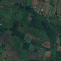
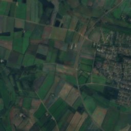
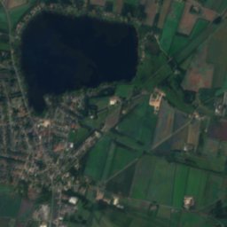
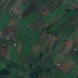
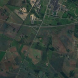
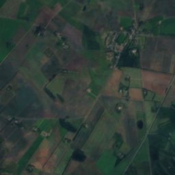
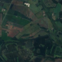
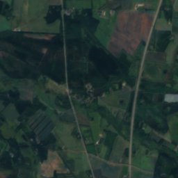
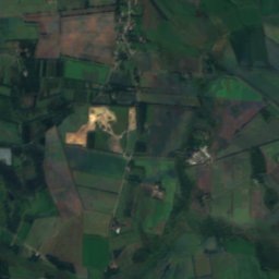
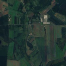
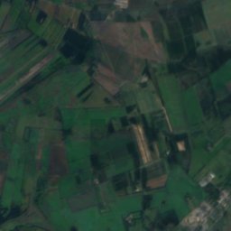
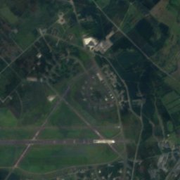
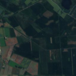
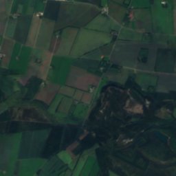
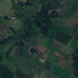
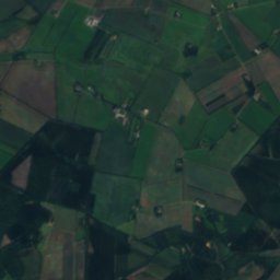
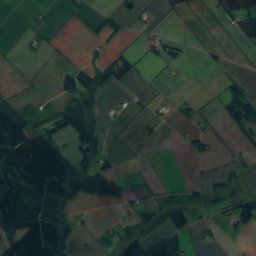
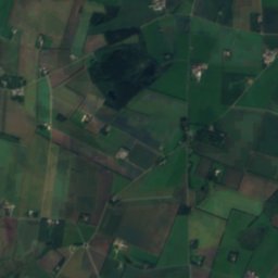
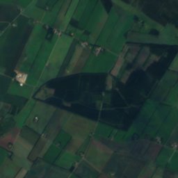
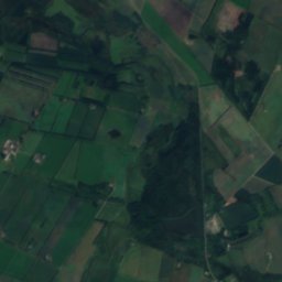
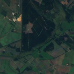
Flensborg Sø from above
Nature nearbyAll of Denmark

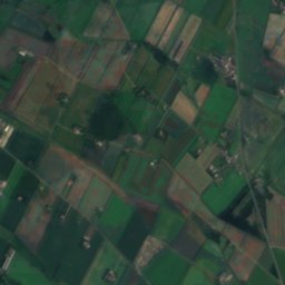
Satellite: Sentinel-2 cloudless 2016 by EOX IT Services GmbH · CC BY 4.0 · Contains modified Copernicus Sentinel data 2016
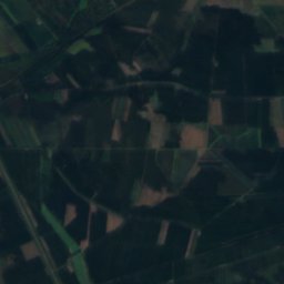
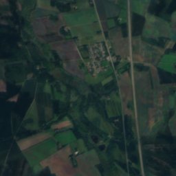
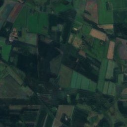
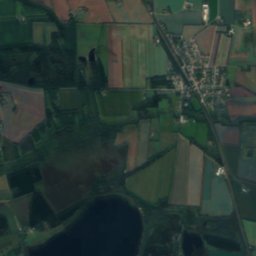
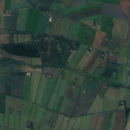
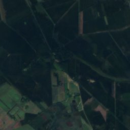
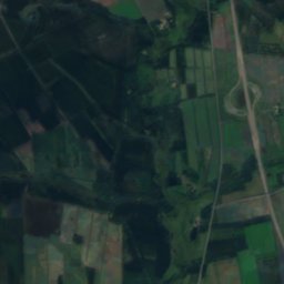
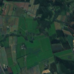
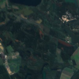
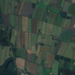
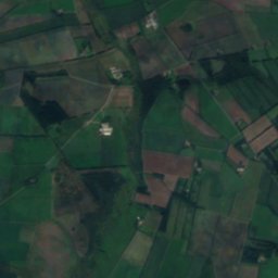
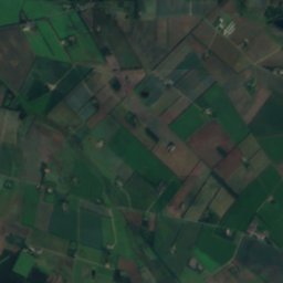
Satellite: Sentinel-2 cloudless 2016 by EOX IT Services GmbH · CC BY 4.0 · Contains modified Copernicus Sentinel data 2016

Photo: Nils Jepsen /User:Nico · CC BY-SA 4.0 · Wikimedia CommonsReport this photo · linked, not stored
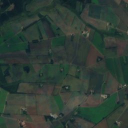
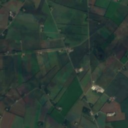
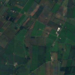
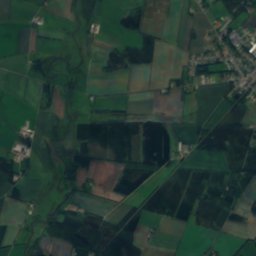
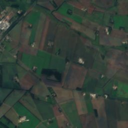
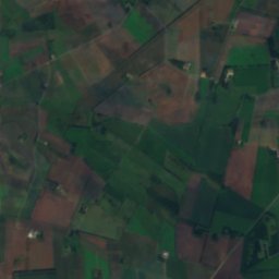
Stay nearby
Towns close by
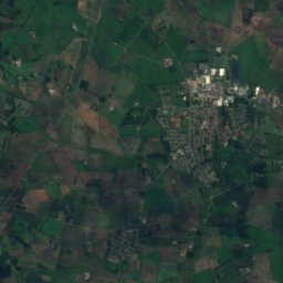
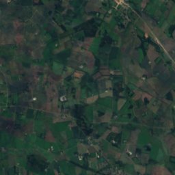
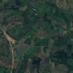
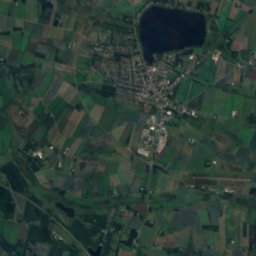
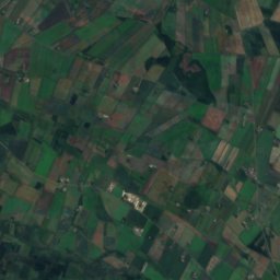
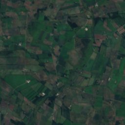
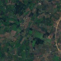
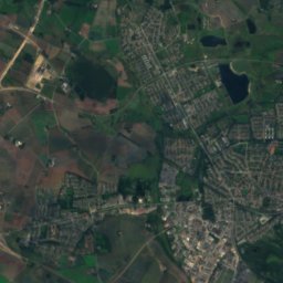
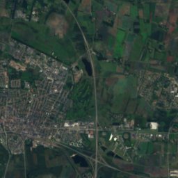
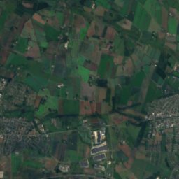
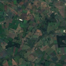
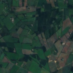
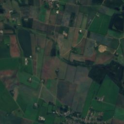
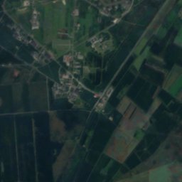
Satellite: Sentinel-2 cloudless 2016 by EOX IT Services GmbH · CC BY 4.0 · Contains modified Copernicus Sentinel data 2016
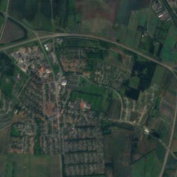
Herning
Central Jutland · 1.6 km N
12°Oct high
16wet days
27score
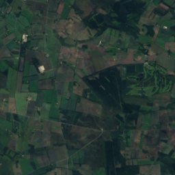
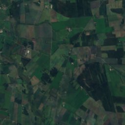
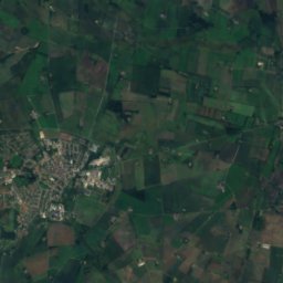
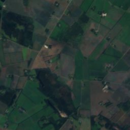
Satellite: Sentinel-2 cloudless 2016 by EOX IT Services GmbH · CC BY 4.0 · Contains modified Copernicus Sentinel data 2016
Snejbjerg
Central Jutland · 4.8 km W
12°Oct high
16wet days
27score


Photo: Ch1ptune at Danish Wikipedia · CC BY-SA 2.5 · Wikimedia CommonsReport this photo · linked, not stored
Gjellerup
Central Jutland · 5.4 km NE
12°Oct high
16wet days
26score
Around here
Herning and around
Nature
Photo: Nils Jepsen /User:Nico · CC BY-SA 4.0 · Wikimedia CommonsReport this photo · linked, not stored
Sunds Sø
Lake · 41 m
Heritage


Satellite: Sentinel-2 cloudless 2016 by EOX IT Services GmbH · CC BY 4.0 · Contains modified Copernicus Sentinel data 2016
Sindinggård
monument on Kulturstyrelsen register
Museums


Carl-Henning Pedersen og Else Alfelts Museum
Art museum

Photo: Jespermeyerchristensen · CC BY-SA 4.0 · Wikimedia CommonsReport this photo · linked, not stored

Frilandsmuseet Herning
Open-air museum