Skip to content
Destinations
Weather & climate
Nature
Outdoors
Culture
Events
Sky & live
Fanø
Photo: I, Hubertus45 · CC BY 2.5 · Wikimedia Commons
FanøReport this photo · linked, not stored
Lergravs Søen
Photo: Kent Madsen · CC BY-SA 4.0 · Wikimedia Commons
Lergravs SøenReport this photo · linked, not stored
Lergravs Søen
IslandNordby, South Denmark

Fanø

IslandBest Jun–Aug
Elevation–above sea level
Area56 km²surface
Nearest townNordby3.6 km
55.41° N, 8.41° EUTC+1 · Central European Standard Time
When to goNordby · weather score
JanFebMarAprMayJunJulAugSepOctNovDec33October
Best timeJun–Aug
October: high / low13° / 8°
Island

Fanø in brief

Fanø is an island in Nordby, South Denmark, Denmark — Danish island.

It covers about 56 km².

The nearest town is Nordby, 3.6 km to the N, where the weather is best in June, July and August.

Nordby: weather and travel guide

Weather nearby now

Forecast for Nordby
11°
Rain now
Wind33 km/h
Humidity75%
Cloud cover70%
Today
25 Oct
13°
8°
25 mm
Mon
26 Oct
13°
11°
1 mm
Tue
27 Oct
15°
11°
7 mm
Wed
28 Oct
14°
11°
2 mm
Thu
29 Oct
14°
10°
1 mm

Model run 12:00 UTCRefreshed several times a day

The island from above

56 km² · coastline as mapped in OpenStreetMap
5 km
When to go

The best months around Fanø

Climate of Nordby

Month score in Nordby

Comfort, dry days and sunshine · out of 100
15
Jan
21
Feb
24
Mar
37
Apr
58
May
69
Jun
65
Jul
65
Aug
58
Sep
33
Oct
16
Nov
15
Dec
Map

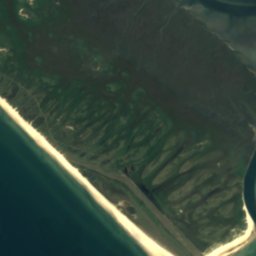
Fanø from above

Nature nearbyAll of Denmark
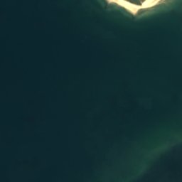
Satellite: Sentinel-2 cloudless 2016 by EOX IT Services GmbH · CC BY 4.0 · Contains modified Copernicus Sentinel data 2016
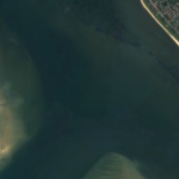
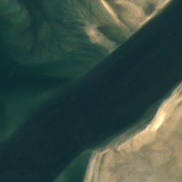
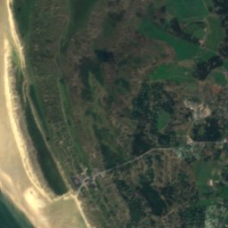
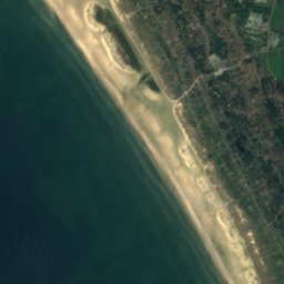
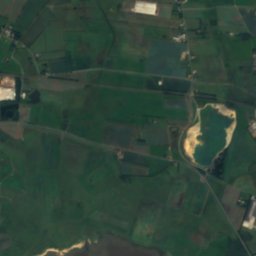
Rindby StrandBeach2.2 kmWRindby Strand
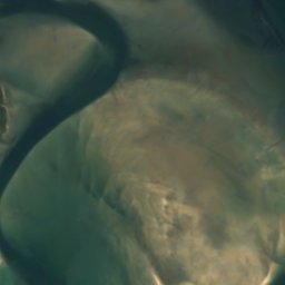
Satellite: Sentinel-2 cloudless 2016 by EOX IT Services GmbH · CC BY 4.0 · Contains modified Copernicus Sentinel data 2016
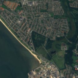
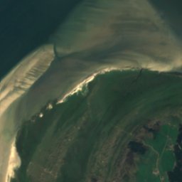
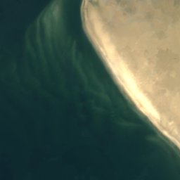
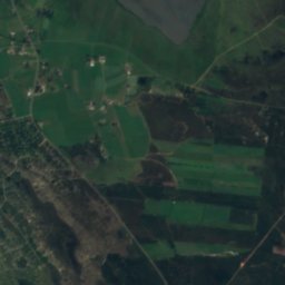
KøbmandssandIsland5.0 kmNEKøbmandssand
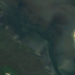
Satellite: Sentinel-2 cloudless 2016 by EOX IT Services GmbH · CC BY 4.0 · Contains modified Copernicus Sentinel data 2016
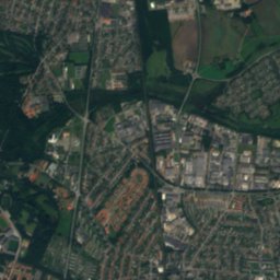
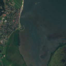
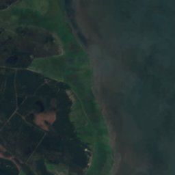
VesebankeIsland5.1 kmEVesebanke
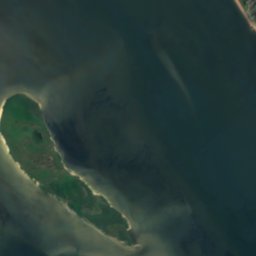
Satellite: Sentinel-2 cloudless 2016 by EOX IT Services GmbH · CC BY 4.0 · Contains modified Copernicus Sentinel data 2016
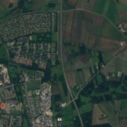
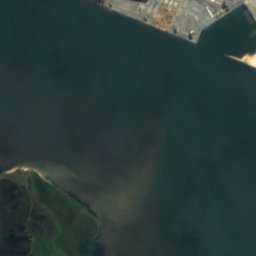
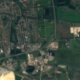
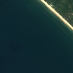
Søren Jessens SandIsland6.0 kmNWSøren Jessens Sand
Photo: Kent Madsen · CC BY-SA 4.0 · Wikimedia CommonsReport this photo · linked, not stored
Lergravs SøenLake6.8 kmNELergravs Søen
Satellite: Sentinel-2 cloudless 2016 by EOX IT Services GmbH · CC BY 4.0 · Contains modified Copernicus Sentinel data 2016
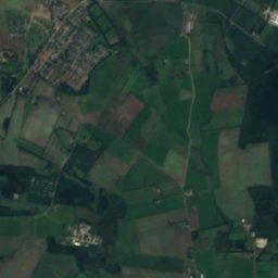
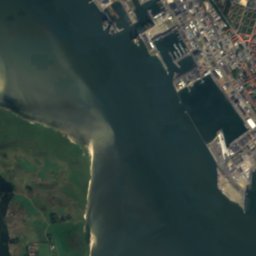
Fanø SandendeIsland7.0 kmNFanø Sandende
Stay nearby

Towns close by

Nordby
Photo: I, Hubertus45 · CC BY 2.5 · Wikimedia CommonsReport this photo · linked, not stored

Nordby

South Denmark · 3.6 km N
13°Oct high
16wet days
33score
Nordby
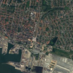
Esbjerg
Photo: Cnyborg · CC BY-SA 3.0 · Wikimedia CommonsReport this photo · linked, not stored

Esbjerg

South Denmark · 6.8 km NE
13°Oct high
16wet days
33score
Esbjerg
Sønderho
Photo: I, Hubertus45 · CC BY 2.5 · Wikimedia CommonsReport this photo · linked, not stored

Sønderho

South Denmark · 8.0 km SE
13°Oct high
16wet days
33score
Sønderho
Tjæreborg
Photo: I, Hubertus45 · CC BY 2.5 · Wikimedia CommonsReport this photo · linked, not stored

Tjæreborg

South Denmark · 12 km NE
13°Oct high
16wet days
33score
Tjæreborg
Around here

Nordby and around

Nordby
Photo: I, Hubertus45 · CC BY 2.5 · Wikimedia CommonsReport this photo · linked, not stored

Nordby

South Denmark · Denmark
Jun–Augbest months
21°July high
4 maltitude
Nordby

Nature

Sildesø
Photo: JakobT · CC BY-SA 4.0 · Wikimedia CommonsReport this photo · linked, not stored
5.1 km N

Sildesø

Lake
Sildesø
Lergravs Søen
Photo: Kent Madsen · CC BY-SA 4.0 · Wikimedia CommonsReport this photo · linked, not stored
5.1 km NE

Lergravs Søen

Lake
Lergravs Søen
Kvaglund sø
Photo: Kent Madsen · CC BY 2.0 · Wikimedia CommonsReport this photo · linked, not stored
7.0 km NE

Kvaglund sø

Lake
Kvaglund sø

Heritage

Esbjerg Station
Photo: Taxiarchos228 · FAL · Wikimedia CommonsReport this photo · linked, not stored
4.5 km NE

Esbjerg Station

monument on Kulturstyrelsen register · 1874
Esbjerg Station
Esbjerg Water Tower
Photo: Taxiarchos228 · FAL · Wikimedia CommonsReport this photo · linked, not stored
3.9 km NE

Esbjerg Water Tower

monument on Kulturstyrelsen register · 1897
Esbjerg Water Tower
Courthouse and Jail
Photo: PHE77 · CC BY-SA 4.0 · Wikimedia CommonsReport this photo · linked, not stored
4.2 km NE

Courthouse and Jail

monument on Kulturstyrelsen register · 1892
Courthouse and Jail

Museums

Lightship Museum
Photo: Hjart · CC BY-SA 4.0 · Wikimedia CommonsReport this photo · linked, not stored
3.6 km NE

Lightship Museum

Museum ship · 1914
Lightship Museum
Esbjerg Art Museum
Photo: Taxiarchos228 · FAL · Wikimedia CommonsReport this photo · linked, not stored
3.9 km NE

Esbjerg Art Museum

Art museum · 1910
Esbjerg Art Museum
Fisheries and Maritime Museum
Photo: Hjart · CC BY-SA 4.0 · Wikimedia CommonsReport this photo · linked, not stored
4.9 km N

Fisheries and Maritime Museum

Maritime museum · 1968
Fisheries and Maritime Museum