Skip to content
Destinations
Weather & climate
Nature
Outdoors
Culture
Events
Sky & live
Fænø
Photo: BillyDK · CC BY-SA 4.0 · Wikimedia Commons
FænøReport this photo · linked, not stored
Fænø Kalv
Photo: Elgaard · CC BY-SA 4.0 · Wikimedia Commons
Fænø KalvReport this photo · linked, not stored
Fænø Kalv
IslandMiddelfart, South Denmark

Fænø

IslandBest Jun–Aug
Elevation–above sea level
Area3.9 km²surface
Nearest townMiddelfart3.0 km
55.49° N, 9.69° EUTC+1 · Central European Standard Time
When to goMiddelfart · weather score
JanFebMarAprMayJunJulAugSepOctNovDec33October
Best timeJun–Aug
October: high / low13° / 7°
Island

Fænø in brief

Fænø is an island in Middelfart, South Denmark, Denmark — island.

It covers about 3.9 km².

The nearest town is Middelfart, 3.0 km to the NE, where the weather is best in June, July and August.

Middelfart: weather and travel guide

Weather nearby now

Forecast for Middelfart
14°
Cloudy now
Wind27 km/h
Humidity86%
Cloud cover100%
Today
27 Oct
14°
10°
3 mm
Wed
28 Oct
14°
8°
1 mm
Thu
29 Oct
15°
8°
Fri
30 Oct
14°
7°
Sat
31 Oct
13°
10°

Model run 00:00 UTCRefreshed several times a day

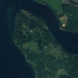
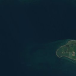
The island from above

3.9 km² · coastline as mapped in OpenStreetMap
1 km
When to go

The best months around Fænø

Climate of Middelfart

Month score in Middelfart

Comfort, dry days and sunshine · out of 100
Map

Fænø from above

Nature nearbyAll of Denmark
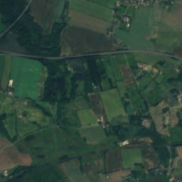
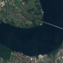
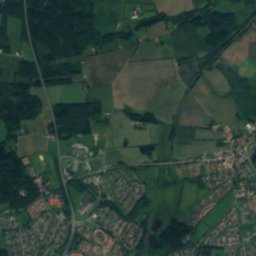
Satellite: Sentinel-2 cloudless 2016 by EOX IT Services GmbH · CC BY 4.0 · Contains modified Copernicus Sentinel data 2016
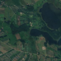
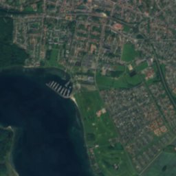
Fænø TangeIsland1.4 kmNWFænø Tange
Photo: Elgaard · CC BY-SA 4.0 · Wikimedia CommonsReport this photo · linked, not stored
Fænø KalvIsland2.1 kmWFænø Kalv
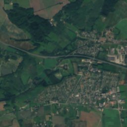
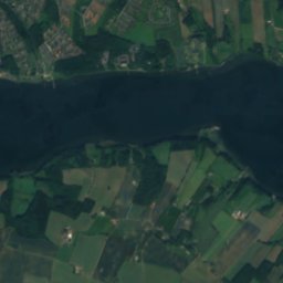
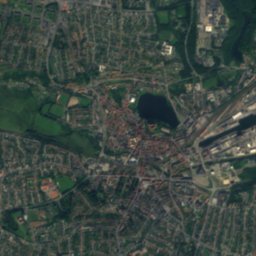
Satellite: Sentinel-2 cloudless 2016 by EOX IT Services GmbH · CC BY 4.0 · Contains modified Copernicus Sentinel data 2016
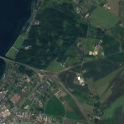
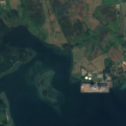
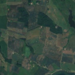
FlessingenIsland2.4 kmNWFlessingen
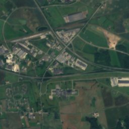
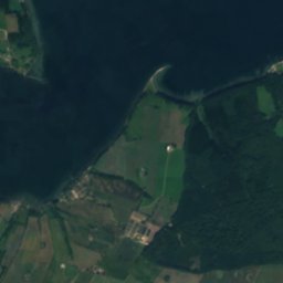
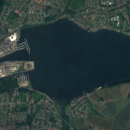
Satellite: Sentinel-2 cloudless 2016 by EOX IT Services GmbH · CC BY 4.0 · Contains modified Copernicus Sentinel data 2016
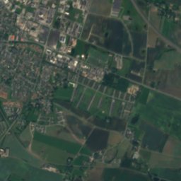
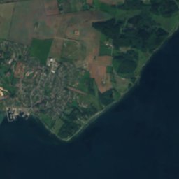
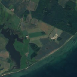
Fønsskov RevIsland3.5 kmSEFønsskov Rev
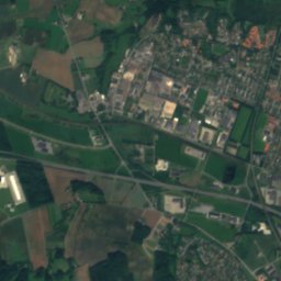
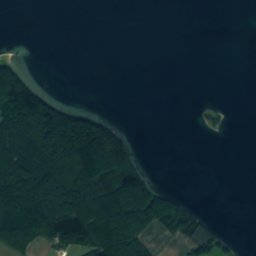
Satellite: Sentinel-2 cloudless 2016 by EOX IT Services GmbH · CC BY 4.0 · Contains modified Copernicus Sentinel data 2016
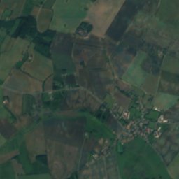
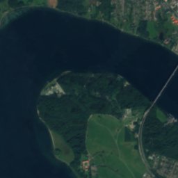
FlækøjetIsland6.0 kmSFlækøjet
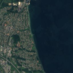
Satellite: Sentinel-2 cloudless 2016 by EOX IT Services GmbH · CC BY 4.0 · Contains modified Copernicus Sentinel data 2016
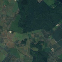
Kidholme HageIsland6.3 kmWKidholme Hage
Stay nearby

Towns close by

Middelfart
Photo: Erik Bachmann · CC BY-SA 3.0 · Wikimedia CommonsReport this photo · linked, not stored

Middelfart

South Denmark · 3.0 km NE
13°Oct high
15wet days
33score
Middelfart
Snoghøj
Photo: Hjart · CC BY-SA 4.0 · Wikimedia CommonsReport this photo · linked, not stored

Snoghøj

South Denmark · 4.2 km NE
13°Oct high
15wet days
33score
Snoghøj
Skærbæk
Photo: Pkocewiak · CC BY-SA 3.0 · Wikimedia CommonsReport this photo · linked, not stored

Skærbæk

South Denmark · 4.8 km NW
13°Oct high
15wet days
33score
Skærbæk
Strib
Photo: Hjart · CC BY-SA 4.0 · Wikimedia CommonsReport this photo · linked, not stored

Strib

South Denmark · 7.4 km NE
13°Oct high
15wet days
33score
Strib
Around here

Middelfart and around

Middelfart
Photo: Erik Bachmann · CC BY-SA 3.0 · Wikimedia CommonsReport this photo · linked, not stored

Middelfart

South Denmark · Denmark
Jun–Augbest months
22°July high
4 maltitude
Middelfart

Nature

Rands fjord
Photo: MetalMick96 · CC BY-SA 3.0 · Wikimedia CommonsReport this photo · linked, not stored
12 km N

Rands fjord

Lake · -1 m
Rands fjord
Slotssøen, South Denmark
Photo: Leif Jørgensen · CC BY-SA 4.0 · Wikimedia CommonsReport this photo · linked, not stored
16 km W

Slotssøen, South Denmark

Lake
Slotssøen, South Denmark
Ferup Sø
Photo: Beethoven9 · CC BY-SA 3.0 · Wikimedia CommonsReport this photo · linked, not stored
21 km W

Ferup Sø

Lake
Ferup Sø

Heritage

Satellite: Sentinel-2 cloudless 2016 by EOX IT Services GmbH · CC BY 4.0 · Contains modified Copernicus Sentinel data 2016
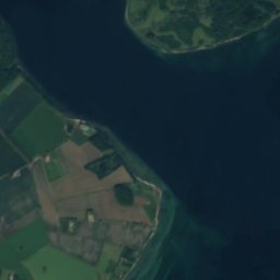
2.6 km W

Hindsgavl

monument on Kulturstyrelsen register
Hindsgavl
Satellite: Sentinel-2 cloudless 2016 by EOX IT Services GmbH · CC BY 4.0 · Contains modified Copernicus Sentinel data 2016
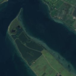
2.5 km NW

Vasnæs Batteri

protected ancient monument in Denmark
Vasnæs Batteri
Krudttårnet
Photo: Villy Fink Isaksen · CC BY-SA 3.0 · Wikimedia CommonsReport this photo · linked, not stored
6.7 km N

Krudttårnet

monument on Kulturstyrelsen register · 1675
Krudttårnet

Museums

Middelfart Museum
Photo: Toxophilus · CC BY-SA 4.0 · Wikimedia CommonsReport this photo · linked, not stored
0.1 km W

Middelfart Museum

Cultural history museum
Middelfart Museum
Satellite: Sentinel-2 cloudless 2016 by EOX IT Services GmbH · CC BY 4.0 · Contains modified Copernicus Sentinel data 2016
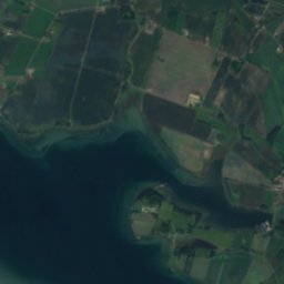
0.7 km W

CLAY Keramikmuseum Danmark

1994
CLAY Keramikmuseum Danmark
Trapholt
Photo: Peter Leth · CC BY 2.0 · Wikimedia CommonsReport this photo · linked, not stored
13 km W

Trapholt

Art museum · 1988
Trapholt