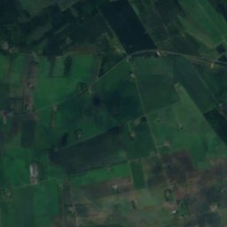
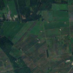
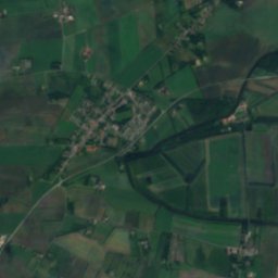
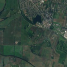
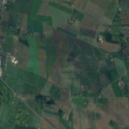
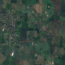
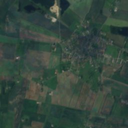
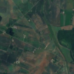
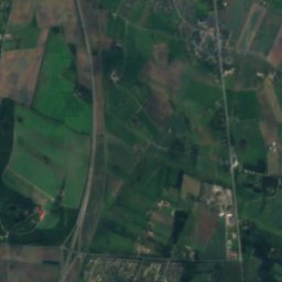
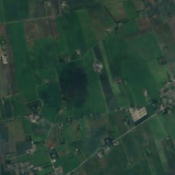
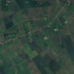
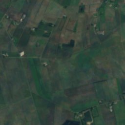
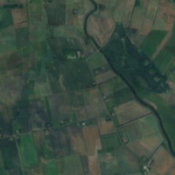
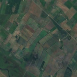
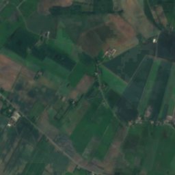
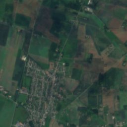
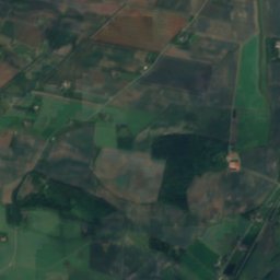
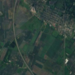
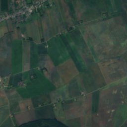
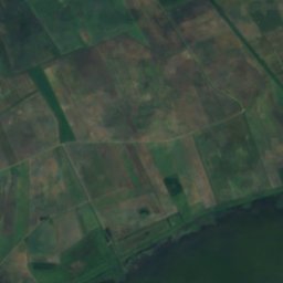
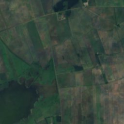
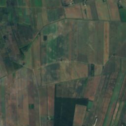
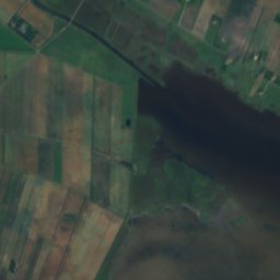
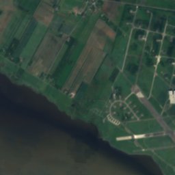
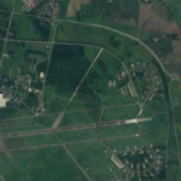
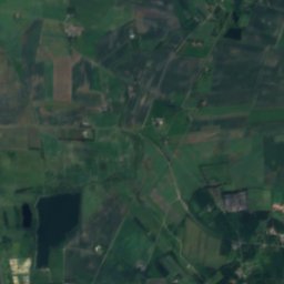
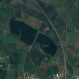
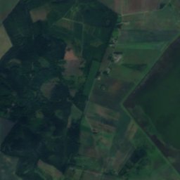
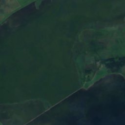
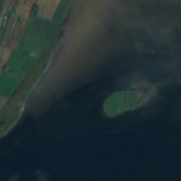
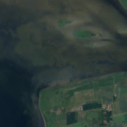
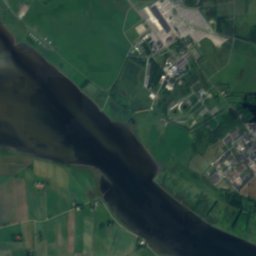
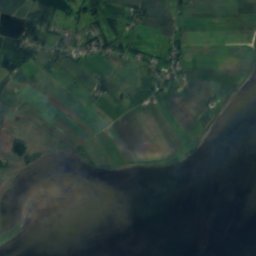
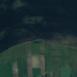
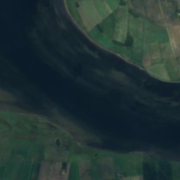
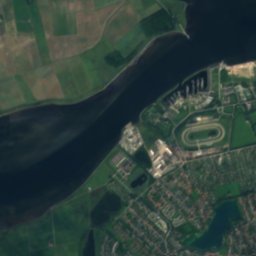
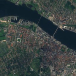
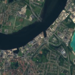

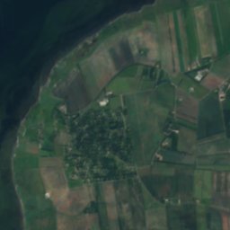
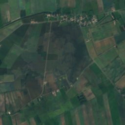
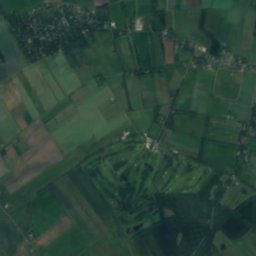
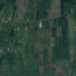
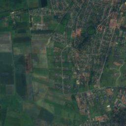
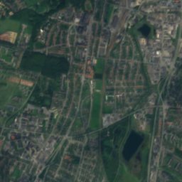
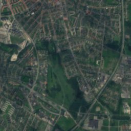
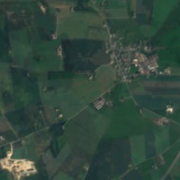
Satellite: Sentinel-2 cloudless 2016 by EOX IT Services GmbH · CC BY 4.0 · Contains modified Copernicus Sentinel data 2016

Photo: © 2010 by Tomasz Sienicki [user: tsca, mail: tomasz.sienicki at gmail.com] · CC BY 3.0 · Wikimedia Commons
Egholm, North DenmarkReport this photo · linked, not stored
Egholm, North DenmarkEgholm, North DenmarkReport this photo · linked, not stored

Photo: Ralf Skjerning · CC BY-SA 3.0 · Wikimedia Commons
Lindholm KridtgravReport this photo · linked, not stored
Lindholm KridtgravLindholm KridtgravReport this photo · linked, not stored
IslandGjøl, North Denmark
Dynen
Island1 m elevationBest Jun–Aug
Elevation1 mabove sea level
Area–surface
Nearest townGjøl4.1 km
57.07° N, 9.79° EElevation 1 mUTC+1 · Central European Standard Time
When to goGjøl · weather score
Best timeJun–Aug
October: high / low12° / 7°
Island
Dynen in brief
Dynen is an island in Gjøl, North Denmark, Denmark.
It lies at 1 m above sea level.
The nearest town is Gjøl, 4.1 km to the W, where the weather is best in June, July and August.
Weather nearby now
Forecast for Gjøl11°
Partly cloudy now
Today
26 Oct
11°
9°
9 mm
Tue
27 Oct
13°
10°
6 mm
Wed
28 Oct
14°
9°
5 mm
Thu
29 Oct
13°
8°
Fri
30 Oct
11°
4°
Model run 12:00 UTCRefreshed several times a day
When to go
Climate of GjølThe best months around Dynen
Month score in Gjøl
Comfort, dry days and sunshine · out of 10015
Jan
22
Feb
27
Mar
33
Apr
56
May
70
Jun
69
Jul
65
Aug
55
Sep
27
Oct
17
Nov
15
Dec
Map
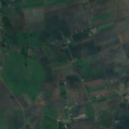
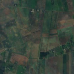
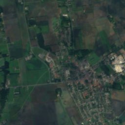
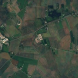
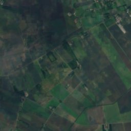
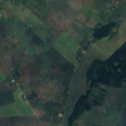
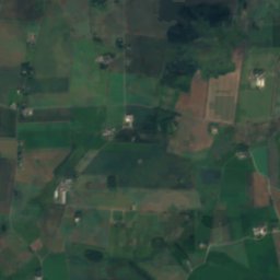
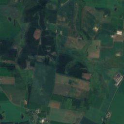
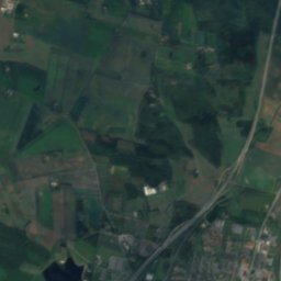
Dynen from above
Nature nearbyAll of Denmark
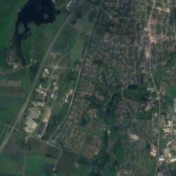
Satellite: Sentinel-2 cloudless 2016 by EOX IT Services GmbH · CC BY 4.0 · Contains modified Copernicus Sentinel data 2016
Satellite: Sentinel-2 cloudless 2016 by EOX IT Services GmbH · CC BY 4.0 · Contains modified Copernicus Sentinel data 2016
Satellite: Sentinel-2 cloudless 2016 by EOX IT Services GmbH · CC BY 4.0 · Contains modified Copernicus Sentinel data 2016

Photo: © 2010 by Tomasz Sienicki [user: tsca, mail: tomasz.sienicki at gmail.com] · CC BY 3.0 · Wikimedia CommonsReport this photo · linked, not stored

Stay nearby
Towns close by

Photo: photo © 2009 by Tomasz Sienicki [user: tsca, mail: tomasz.sienicki at gmail.com] · CC BY 3.0 · Wikimedia CommonsReport this photo · linked, not stored
Gjøl
North Denmark · 4.1 km W
12°Oct high
15wet days
27score

Photo: Edam66. Original uploader was Edam66 at da.wikipedia · Public domain · Wikimedia CommonsReport this photo · linked, not stored
Hasseris
North Denmark · 6.6 km SE
12°Oct high
15wet days
28score


Photo: © 2009 by Tomasz Sienicki [user: tsca, mail: tomasz.sienicki at gmail.com] · CC BY 3.0 · Wikimedia CommonsReport this photo · linked, not stored
Vadum
North Denmark · 7.2 km NE
12°Oct high
15wet days
28score
Around here
Gjøl and around
Photo: photo © 2009 by Tomasz Sienicki [user: tsca, mail: tomasz.sienicki at gmail.com] · CC BY 3.0 · Wikimedia CommonsReport this photo · linked, not stored
Gjøl
North Denmark · Denmark
Jun–Augbest months
20°July high
7 maltitude
Nature
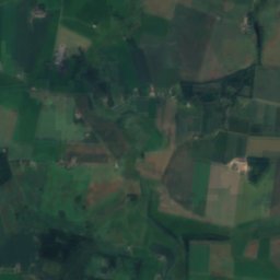
Satellite: Sentinel-2 cloudless 2016 by EOX IT Services GmbH · CC BY 4.0 · Contains modified Copernicus Sentinel data 2016
Vejlen
Lake · 2 m
Heritage


Hospital of the Holy Ghost, Aalborg
monument on Kulturstyrelsen register · 1431
Museums

Photo: KUNSTEN Museum of Modern Art Aalborg · CC BY-SA 3.0 · Wikimedia CommonsReport this photo · linked, not stored
Kunsten Museum of Modern Art Aalborg
Art museum · 1972

Photo: Aalborg Forsvars- og Garnisonsmuseum, Olav Vibild · CC BY-SA 3.0 · Wikimedia CommonsReport this photo · linked, not stored
Defence and Garrison Museum
Military museum


