




Skip to content
Destinations
Weather & climate
Nature
Outdoors
Culture
Events
Sky & live
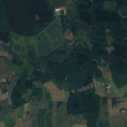
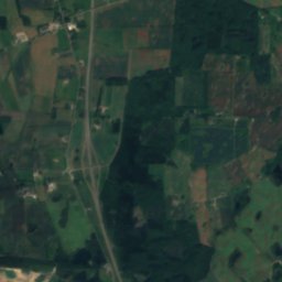
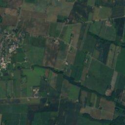
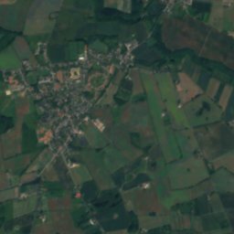
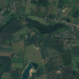
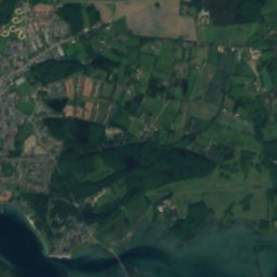
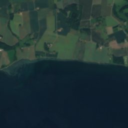
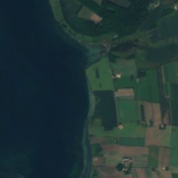
Satellite: Sentinel-2 cloudless 2016 by EOX IT Services GmbH · CC BY 4.0 · Contains modified Copernicus Sentinel data 2016
Tåsinge
Photo: Pymouss · CC BY-SA 4.0 · Wikimedia Commons
TåsingeReport this photo · linked, not stored
Tåsinge
IslandVindeby, South Denmark

Dødmand

Island19 m elevationBest Jun–Aug
Elevation19 mabove sea level
Area–surface
Nearest townVindeby2.3 km
55.03° N, 10.58° EElevation 19 mUTC+2 · Central European Summer Time
When to goVindeby · weather score
JanFebMarAprMayJunJulAugSepOctNovDec33October
Best timeJun–Aug
October: high / low13° / 9°
Island

Dødmand in brief

Dødmand is an island in Vindeby, South Denmark, Denmark.

It lies at 19 m above sea level.

The nearest town is Vindeby, 2.3 km to the NE, where the weather is best in June, July and August.

Vindeby: weather and travel guide

Weather nearby now

Forecast for Vindeby
12°
Rain now
Wind35 km/h
Humidity80%
Cloud cover100%
Today
24 Oct
14°
9°
8 mm
Sun
25 Oct
13°
9°
15 mm
Mon
26 Oct
13°
10°
Tue
27 Oct
15°
10°
3 mm
Wed
28 Oct
14°
10°
2 mm

Model run 12:00 UTCRefreshed several times a day

When to go

The best months around Dødmand

Climate of Vindeby

Month score in Vindeby

Comfort, dry days and sunshine · out of 100
15
Jan
25
Feb
28
Mar
36
Apr
54
May
70
Jun
67
Jul
65
Aug
64
Sep
33
Oct
16
Nov
14
Dec
Map

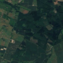
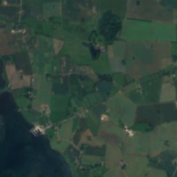
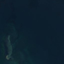
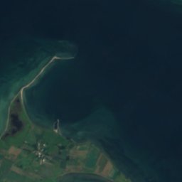
Dødmand from above

Nature nearbyAll of Denmark
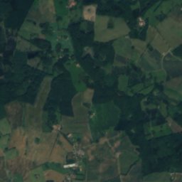
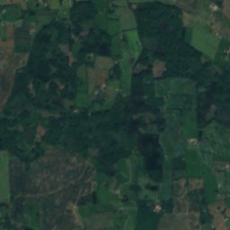
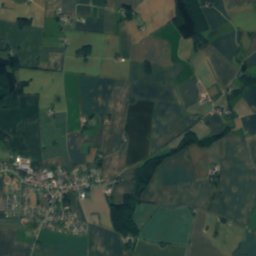
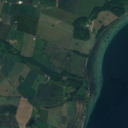
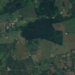
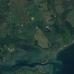
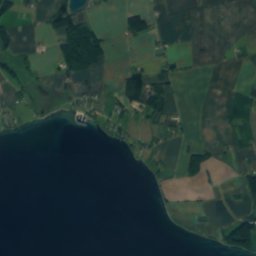
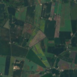
Satellite: Sentinel-2 cloudless 2016 by EOX IT Services GmbH · CC BY 4.0 · Contains modified Copernicus Sentinel data 2016
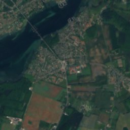
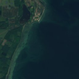
IholmIsland1.1 kmWIholm
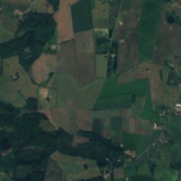
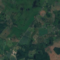
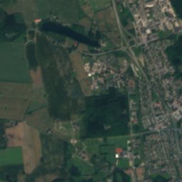
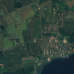
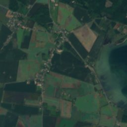
Satellite: Sentinel-2 cloudless 2016 by EOX IT Services GmbH · CC BY 4.0 · Contains modified Copernicus Sentinel data 2016
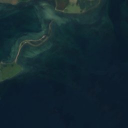
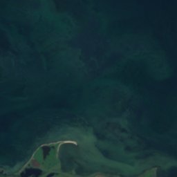
Frederiksø, South DenmarkIsland3.6 kmNEFrederiksø, South Denmark
Photo: Pymouss · CC BY-SA 4.0 · Wikimedia CommonsReport this photo · linked, not stored
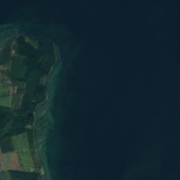
TåsingeIsland3.9 kmSTåsinge
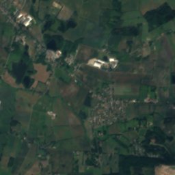
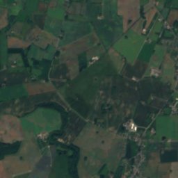
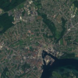
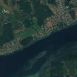
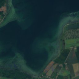
Satellite: Sentinel-2 cloudless 2016 by EOX IT Services GmbH · CC BY 4.0 · Contains modified Copernicus Sentinel data 2016
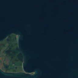
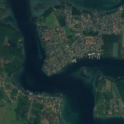
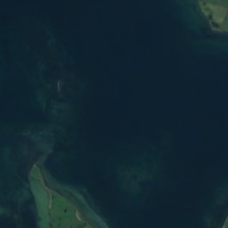
ThurøIsland5.5 kmEThurø
Satellite: Sentinel-2 cloudless 2016 by EOX IT Services GmbH · CC BY 4.0 · Contains modified Copernicus Sentinel data 2016

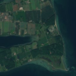
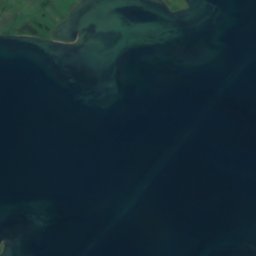
SkarøIsland8.1 kmSWSkarø
Satellite: Sentinel-2 cloudless 2016 by EOX IT Services GmbH · CC BY 4.0 · Contains modified Copernicus Sentinel data 2016
SmørmosenBeach8.2 kmESmørmosen
Stay nearby

Towns close by

Vindeby
Photo: Kåre Thor Olsen · CC BY-SA 4.0 · Wikimedia CommonsReport this photo · linked, not stored

Vindeby

South Denmark · 2.3 km NE
13°Oct high
14wet days
33score
Vindeby
Svendborg
Photo: Hubertus45 · CC BY-SA 3.0 · Wikimedia CommonsReport this photo · linked, not stored

Svendborg

South Denmark · 3.3 km NE
13°Oct high
14wet days
32score
Svendborg
Troense
Photo: BKP · CC BY-SA 3.0 · Wikimedia CommonsReport this photo · linked, not stored

Troense

South Denmark · 3.8 km E
13°Oct high
14wet days
33score
Troense
Landet
Photo: Kim brixen at da.wikipedia · Public domain · Wikimedia CommonsReport this photo · linked, not stored

Landet

South Denmark · 3.9 km S
13°Oct high
14wet days
33score
Landet
Around here

Vindeby and around

Vindeby
Photo: Kåre Thor Olsen · CC BY-SA 4.0 · Wikimedia CommonsReport this photo · linked, not stored

Vindeby

South Denmark · Denmark
Jun–Augbest months
21°July high
15 maltitude
Vindeby

Nature

Arreskov Lake
Photo: Nils Jepsen /user:Nico · CC BY-SA 4.0 · Wikimedia CommonsReport this photo · linked, not stored
23 km NW

Arreskov Lake

Lake · 26 m
Arreskov Lake
Nørresø, Stenstrup
Photo: Simonerfurth (talk) · CC BY-SA 4.0 · Wikimedia CommonsReport this photo · linked, not stored
19 km NW

Nørresø, Stenstrup

Lake · 42 m
Nørresø, Stenstrup
Brændegård Lake
Photo: Nico · CC BY-SA 4.0 · Wikimedia CommonsReport this photo · linked, not stored
18 km NW

Brændegård Lake

Lake · 33 m
Brændegård Lake

Heritage

Anne Hvide's House
Photo: Kåre Thor Olsen · CC BY-SA 3.0 · Wikimedia CommonsReport this photo · linked, not stored
1.7 km N

Anne Hvide's House

monument on Kulturstyrelsen register · 1560
Anne Hvide's House
Christiansmøllen
Photo: eget værk/own work - Arne Alexander Fræer Eckmann aka Praeceptor · CC BY-SA 3.0 · Wikimedia CommonsReport this photo · linked, not stored
2.5 km N

Christiansmøllen

monument on Kulturstyrelsen register · 1859
Christiansmøllen
Ingers Høj
Photo: Houdorf · CC BY-SA 4.0 · Wikimedia CommonsReport this photo · linked, not stored
1.2 km S

Ingers Høj

protected ancient monument in Denmark
Ingers Høj

Museums

Danmarks Forsorgsmuseum
Photo: Kåre Thor Olsen · CC BY-SA 3.0 · Wikimedia CommonsReport this photo · linked, not stored
2.0 km N

Danmarks Forsorgsmuseum

Danmarks Forsorgsmuseum
Naturama
Photo: Kåre Thor Olsen · CC BY-SA 3.0 · Wikimedia CommonsReport this photo · linked, not stored
2.1 km N

Naturama

Naturama
Danmarks Museum for Lystsejlads
Photo: Toxophilus · CC BY-SA 4.0 · Wikimedia CommonsReport this photo · linked, not stored
1.9 km NE

Danmarks Museum for Lystsejlads

Danmarks Museum for Lystsejlads