





















Skip to content
Destinations
Weather & climate
Nature
Outdoors
Culture
Events
Sky & live
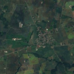
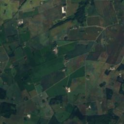
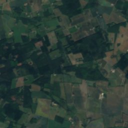
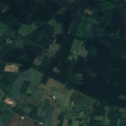
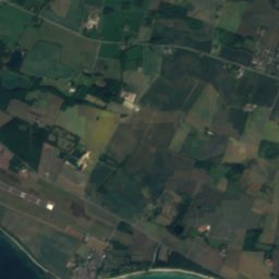
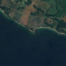
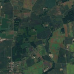
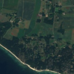
Satellite: Sentinel-2 cloudless 2016 by EOX IT Services GmbH · CC BY 4.0 · Contains modified Copernicus Sentinel data 2016
Borgesøen
Photo: 7alaskan · CC BY-SA 3.0 · Wikimedia Commons
BorgesøenReport this photo · linked, not stored
Borgesøen
Dueodde
Photo: A.Savin · FAL · Wikimedia Commons
DueoddeReport this photo · linked, not stored
Dueodde
BeachPedersker, Capital Region

Boderne

BeachBest Jun–Jul · Sep
Elevation–above sea level
Sea, warmest18°CAugust
Nearest townPedersker5.3 km
55.02° N, 14.91° EUTC+2 · Central European Summer Time
When to goPedersker · weather score
JanFebMarAprMayJunJulAugSepOctNovDec33October
Best timeJun–Jul · Sep
October: high / low12° / 8°
Beach

Boderne in brief

Boderne is a beach in Pedersker, Capital Region, Denmark — bathing place located on the Danish Baltic Sea coast in the municipality/city Bornholm in the region of Hovedstaden.

The nearest town in the atlas is Pedersker, 5.3 km to the E, where the weather is best in June, July and September.

The sea is warmest in August, at about 18°C.

Pedersker: weather and travel guide

Weather nearby now

Forecast for Pedersker
11°
Cloudy now
Wind22 km/h
Humidity83%
Cloud cover98%
Today
23 Oct
13°
8°
2 mm
Sat
24 Oct
13°
9°
3 mm
Sun
25 Oct
12°
8°
16 mm
Mon
26 Oct
12°
8°
1 mm
Tue
27 Oct
13°
8°
1 mm

Model run 12:00 UTCRefreshed several times a day

Sea and air through the year

Sea surface temperature off the coast and the average daily high in Pedersker, month by month.
Jan4°4°
Feb3°3°
Mar3°5°
Apr5°8°
May9°13°
Jun13°17°
Jul17°20°
Aug18°21°
Sep16°17°
Oct12°12°
Nov9°8°
Dec6°5°
seaair, daily high
When to go

The best months around Boderne

Climate of Pedersker

Month score in Pedersker

Comfort, dry days and sunshine · out of 100
14
Jan
20
Feb
30
Mar
39
Apr
54
May
73
Jun
72
Jul
67
Aug
68
Sep
33
Oct
16
Nov
14
Dec
Map

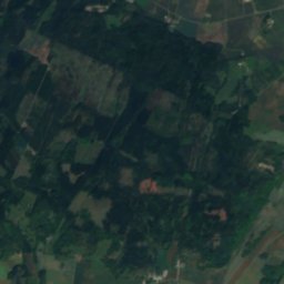
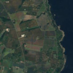
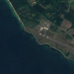
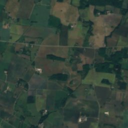
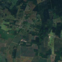
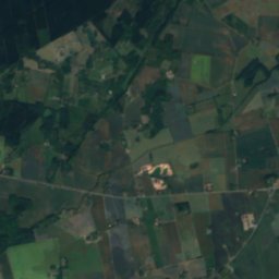
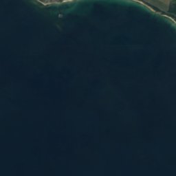
Boderne from above

Nature nearbyAll of Denmark
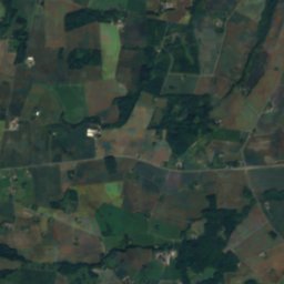
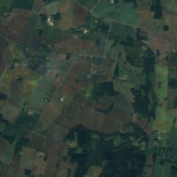
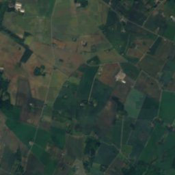
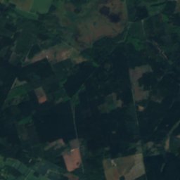
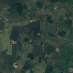
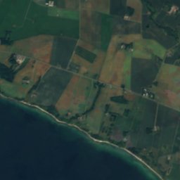
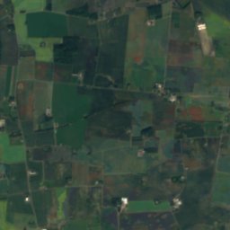
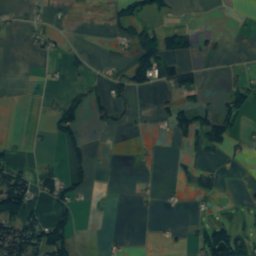
Satellite: Sentinel-2 cloudless 2016 by EOX IT Services GmbH · CC BY 4.0 · Contains modified Copernicus Sentinel data 2016
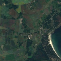
Ålhammer BugtBeach4.2 kmSEÅlhammer Bugt
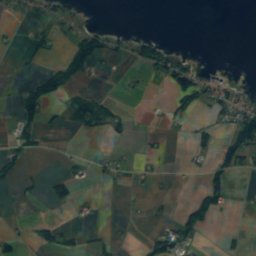
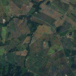
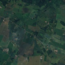
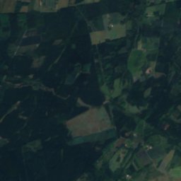
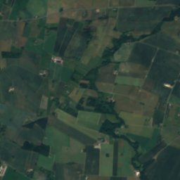
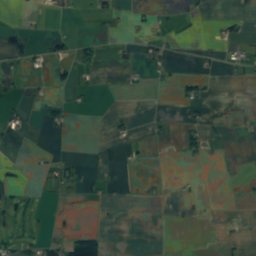
Satellite: Sentinel-2 cloudless 2016 by EOX IT Services GmbH · CC BY 4.0 · Contains modified Copernicus Sentinel data 2016
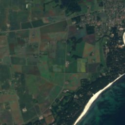
Arnager RevIsland6.4 kmWArnager Rev
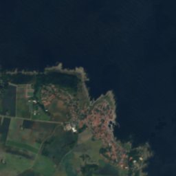
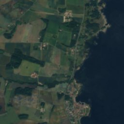
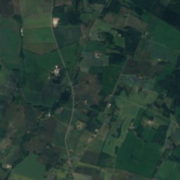
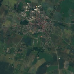
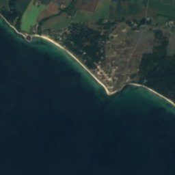
Satellite: Sentinel-2 cloudless 2016 by EOX IT Services GmbH · CC BY 4.0 · Contains modified Copernicus Sentinel data 2016
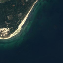
JomfrugårdBeach8.7 kmEJomfrugård
Photo: 7alaskan · CC BY-SA 3.0 · Wikimedia CommonsReport this photo · linked, not stored
BorgesøenLake11 kmNBorgesøen
Satellite: Sentinel-2 cloudless 2016 by EOX IT Services GmbH · CC BY 4.0 · Contains modified Copernicus Sentinel data 2016
HøjbratterIsland11 kmWHøjbratter
Photo: A.Savin · FAL · Wikimedia CommonsReport this photo · linked, not stored
DueoddeBeach11 kmEDueodde
Stay nearby

Towns close by

Pedersker
Photo: Beethoven9 · CC BY-SA 4.0 · Wikimedia CommonsReport this photo · linked, not stored

Pedersker

Capital Region · 5.3 km E
12°Oct high
14wet days
33score
Pedersker
Aakirkeby
Photo: Lilly M · CC BY-SA 3.0 · Wikimedia CommonsReport this photo · linked, not stored

Aakirkeby

Capital Region · 5.5 km N
12°Oct high
14wet days
32score
Aakirkeby
Lobbæk
Photo: Hubertus · CC BY-SA 3.0 · Wikimedia CommonsReport this photo · linked, not stored

Lobbæk

Capital Region · 7.6 km NW
12°Oct high
14wet days
32score
Lobbæk
Nylars
Photo: This file was made by Robert de Jong and should be credited as Photo: Robert de · CC BY-SA 3.0 · Wikimedia CommonsReport this photo · linked, not stored

Nylars

Capital Region · 8.5 km NW
12°Oct high
14wet days
32score
Nylars
Around here

Pedersker and around

Pedersker
Photo: Beethoven9 · CC BY-SA 4.0 · Wikimedia CommonsReport this photo · linked, not stored

Pedersker

Capital Region · Denmark
Jun–Jul · Sepbest months
20°July high
37 maltitude
Pedersker

Nature

Borgesøen
Photo: 7alaskan · CC BY-SA 3.0 · Wikimedia CommonsReport this photo · linked, not stored
11 km NW

Borgesøen

Lake
Borgesøen
Grydesø
Photo: 7alaskan · CC BY-SA 3.0 · Wikimedia CommonsReport this photo · linked, not stored
9.2 km NE

Grydesø

Lake
Grydesø
Satellite: Sentinel-2 cloudless 2016 by EOX IT Services GmbH · CC BY 4.0 · Contains modified Copernicus Sentinel data 2016

10 km NE

Gamledam

Lake
Gamledam

Heritage

Svaneke Water Tower
Photo: aconcagua (talk) · CC BY-SA 3.0 · Wikimedia CommonsReport this photo · linked, not stored
15 km NE

Svaneke Water Tower

monument on Kulturstyrelsen register · 1952
Svaneke Water Tower
Gamleborg
Photo: Torbenbrinker · CC BY-SA 4.0 · Wikimedia CommonsReport this photo · linked, not stored
11 km NW

Gamleborg

protected ancient monument in Denmark · 750
Gamleborg
Lilleborg
Photo: Unukorno · CC BY 4.0 · Wikimedia CommonsReport this photo · linked, not stored
12 km NW

Lilleborg

protected ancient monument in Denmark · 1190
Lilleborg

Museums

NaturBornholm
Photo: Lilly M · CC BY-SA 3.0 · Wikimedia CommonsReport this photo · linked, not stored
6.1 km NW

NaturBornholm

Natural history museum · 2000
NaturBornholm
Nexø Museum
Photo: Hermann Junghans · CC BY-SA 3.0 de · Wikimedia CommonsReport this photo · linked, not stored
9.7 km E

Nexø Museum

1968
Nexø Museum
Bornholm Railway Museum
Photo: A.Savin · FAL · Wikimedia CommonsReport this photo · linked, not stored
9.9 km NE

Bornholm Railway Museum

Railway museum · 1999
Bornholm Railway Museum