

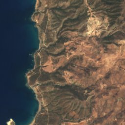













Satellite: Sentinel-2 cloudless 2016 by EOX IT Services GmbH · CC BY 4.0 · Contains modified Copernicus Sentinel data 2016

Photo: RHaworth · CC BY-SA 3.0 · Wikimedia Commons
Mavrokolimpos ReservoirReport this photo · linked, not stored
Mavrokolimpos ReservoirMavrokolimpos ReservoirReport this photo · linked, not stored

Photo: Fry72, Karel Frydrýšek · CC BY-SA 4.0 · Wikimedia Commons
Blue Coral Beach, CyprusReport this photo · linked, not stored
Blue Coral Beach, CyprusBlue Coral Beach, CyprusReport this photo · linked, not stored

Photo: Dm Bsg · CC BY 3.0 · Wikimedia Commons
Evretou ReservoirReport this photo · linked, not stored
Evretou ReservoirEvretou ReservoirReport this photo · linked, not stored

Photo: Fry72, Karel Frydrýšek · CC BY-SA 4.0 · Wikimedia Commons
White River BeachReport this photo · linked, not stored
White River BeachWhite River BeachReport this photo · linked, not stored
WaterfallKoíli, Pafos
Adonis Baths
Waterfall267 m elevationBest May–Jun · Sep
Elevation267 mabove sea level
Height–of the falls
Nearest townKoíli2.2 km
34.87° N, 32.44° EElevation 267 mUTC+3 · Eastern European Summer Time
When to goKoíli · weather score
Best timeMay–Jun · Sep
October: high / low22° / 17°
Waterfall
Adonis Baths in brief
Adonis Baths is a waterfall in Koíli, Pafos, Cyprus.
It lies at 267 m above sea level.
The nearest town in the atlas is Koíli, 2.2 km to the SE, where the weather is best in May, June and September.
Weather nearby now
Forecast for Koíli22°
Clear now
Today
22 Oct
25°
13°
Fri
23 Oct
25°
14°
Sat
24 Oct
25°
13°
Sun
25 Oct
22°
13°
Mon
26 Oct
21°
11°
Model run 00:00 UTCRefreshed several times a day
When to go
Climate of KoíliThe best months around Adonis Baths
Month score in Koíli
Comfort, dry days and sunshine · out of 10038
Jan
44
Feb
60
Mar
82
Apr
92
May
97
Jun
90
Jul
89
Aug
93
Sep
86
Oct
80
Nov
49
Dec
Map
Adonis Baths from above
Nature nearbyAll of Cyprus


Photo: Fry72, Karel Frydrýšek · CC BY-SA 4.0 · Wikimedia CommonsReport this photo · linked, not stored
Satellite: Sentinel-2 cloudless 2016 by EOX IT Services GmbH · CC BY 4.0 · Contains modified Copernicus Sentinel data 2016


Photo: Fry72, Karel Frydrýšek · CC BY-SA 4.0 · Wikimedia CommonsReport this photo · linked, not stored

Summits nearbyMountains of Cyprus

Stay nearby
Towns close by



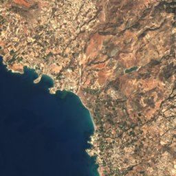
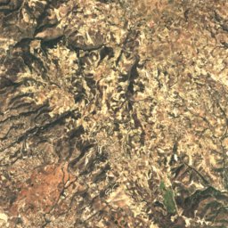
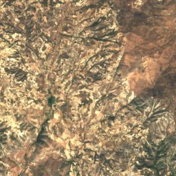
Satellite: Sentinel-2 cloudless 2016 by EOX IT Services GmbH · CC BY 4.0 · Contains modified Copernicus Sentinel data 2016
Koíli
Pafos · 2.2 km SE
22°Oct high
6wet days
86score


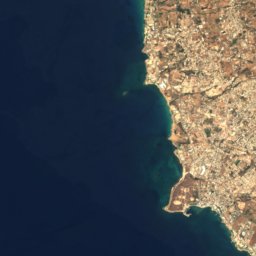
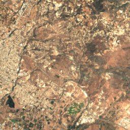
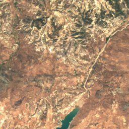
Satellite: Sentinel-2 cloudless 2016 by EOX IT Services GmbH · CC BY 4.0 · Contains modified Copernicus Sentinel data 2016
Tala
Pafos · 3.9 km S
25°Oct high
6wet days
86score
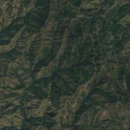
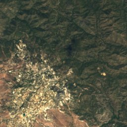
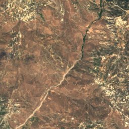
Satellite: Sentinel-2 cloudless 2016 by EOX IT Services GmbH · CC BY 4.0 · Contains modified Copernicus Sentinel data 2016
Stroumpí
Pafos · 4.5 km NE
23°Oct high
6wet days
86score

Around here
Koíli and around
Nature

Mountains
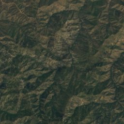
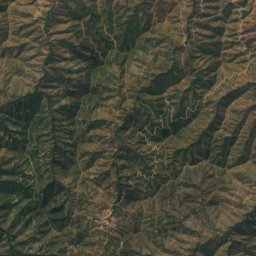
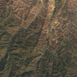
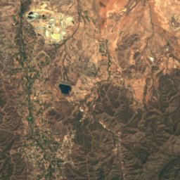
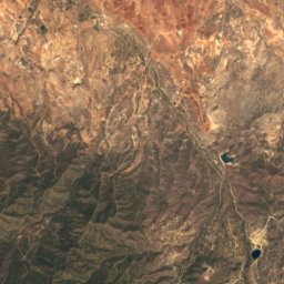
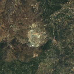
Satellite: Sentinel-2 cloudless 2016 by EOX IT Services GmbH · CC BY 4.0 · Contains modified Copernicus Sentinel data 2016
Mount Olympus
1,952 m · Troodos Mountains

Heritage

Paphos Archaeological Park
part of UNESCO World Heritage Site · 1962

Photo: Mgiganteus1 at the English-language Wikipedia · CC BY-SA 3.0 · Wikimedia CommonsReport this photo · linked, not stored
Tombs of the Kings
part of UNESCO World Heritage Site


