
Photo: © Anil Öztas · CC BY-SA 4.0 · Wikimedia Commons
Vranjača caveReport this photo · linked, not stored
Vranjača caveReport this photo · linked, not stored
 Jadro

Photo: Pudelek (Marcin Szala) · CC BY-SA 3.0 · Wikimedia Commons
ŽrnovnicaReport this photo · linked, not stored
ŽrnovnicaŽrnovnicaReport this photo · linked, not stored
 Gospin otok
 Marjan
CaveBisko, Split-Dalmatia
Vranjača cave
CaveBest May · Sep–Oct
Elevation–above sea level
Inside15°Call year
Nearest townBisko3.4 km
43.56° N, 16.65° EUTC+2 · Central European Summer Time
When to goBisko · weather score
Best timeMay · Sep–Oct
October: high / low19° / 11°
Cave
Vranjača cave in brief
Vranjača cave is a cave in Bisko, Split-Dalmatia, Croatia.
The nearest town in the atlas is Bisko, 3.4 km to the NE, where the weather is best in May, September and October.
Inside, a cave stays close to the average yearly air temperature outside: about 15°C all year.
Weather nearby now
Forecast for Bisko15°
Rain now
Today
22 Oct
20°
10°
4 mm
Fri
23 Oct
20°
7°
Sat
24 Oct
18°
9°
18 mm
Sun
25 Oct
18°
7°
Mon
26 Oct
23°
10°
Model run 00:00 UTCRefreshed several times a day
When to go
Climate of BiskoThe best months around Vranjača cave
Month score in Bisko
Comfort, dry days and sunshine · out of 10030
Jan
32
Feb
46
Mar
70
Apr
74
May
67
Jun
61
Jul
60
Aug
79
Sep
77
Oct
43
Nov
27
Dec
Map
Vranjača cave from above
Nature nearbyAll of Croatia
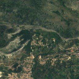
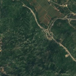
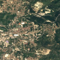
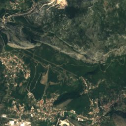
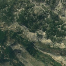
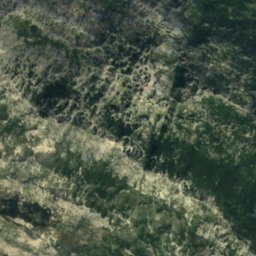
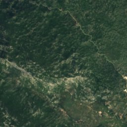
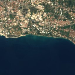
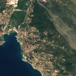
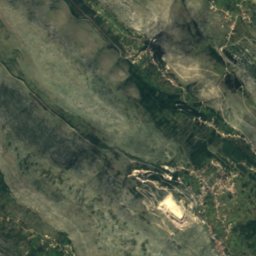
Satellite: Sentinel-2 cloudless 2016 by EOX IT Services GmbH · CC BY 4.0 · Contains modified Copernicus Sentinel data 2016
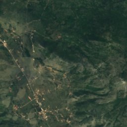
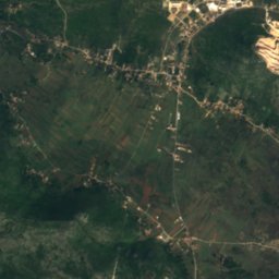
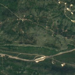
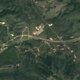
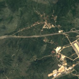
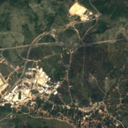
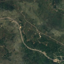
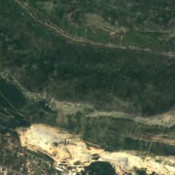
Satellite: Sentinel-2 cloudless 2016 by EOX IT Services GmbH · CC BY 4.0 · Contains modified Copernicus Sentinel data 2016
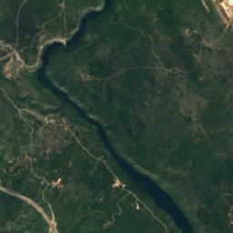
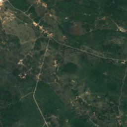
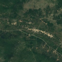
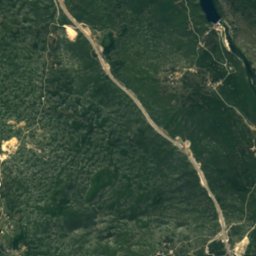
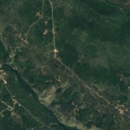
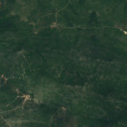
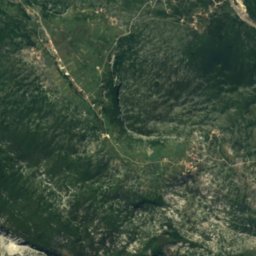
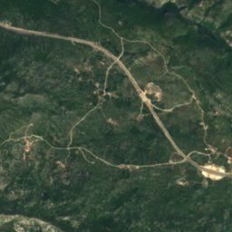
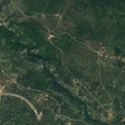
Satellite: Sentinel-2 cloudless 2016 by EOX IT Services GmbH · CC BY 4.0 · Contains modified Copernicus Sentinel data 2016


Photo: Pudelek (Marcin Szala) · CC BY-SA 3.0 · Wikimedia CommonsReport this photo · linked, not stored

Summits nearbyMountains of Croatia
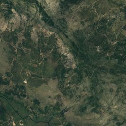
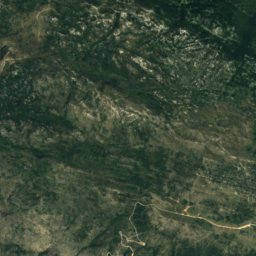
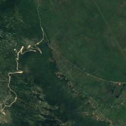
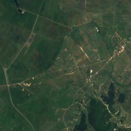
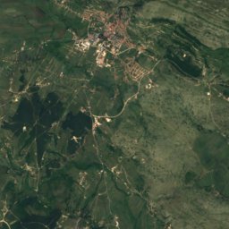
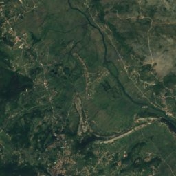
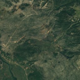
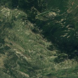
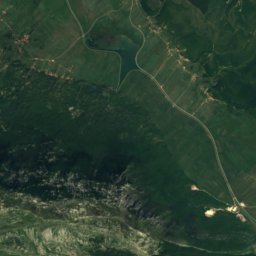
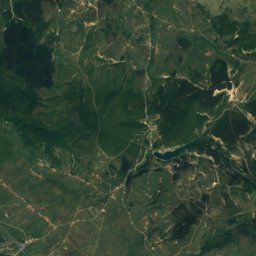
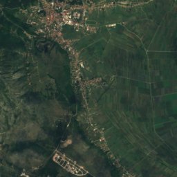
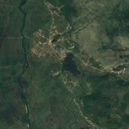
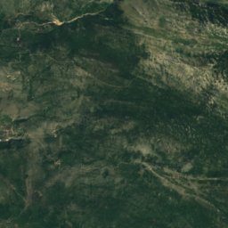
Satellite: Sentinel-2 cloudless 2016 by EOX IT Services GmbH · CC BY 4.0 · Contains modified Copernicus Sentinel data 2016
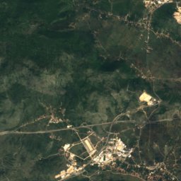
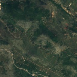
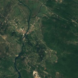
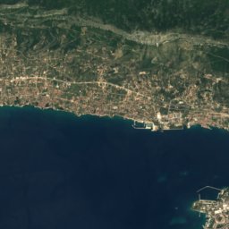
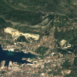
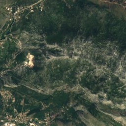
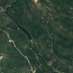
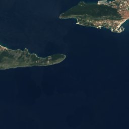
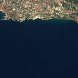
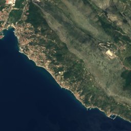
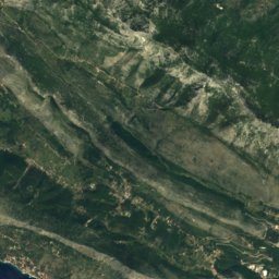
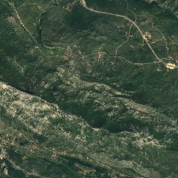
Satellite: Sentinel-2 cloudless 2016 by EOX IT Services GmbH · CC BY 4.0 · Contains modified Copernicus Sentinel data 2016
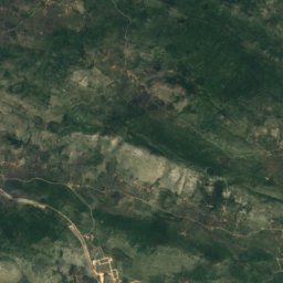
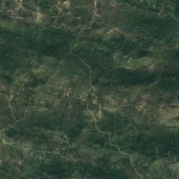
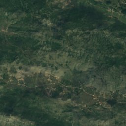
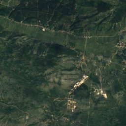
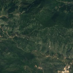
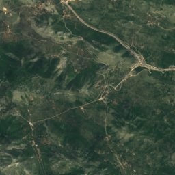
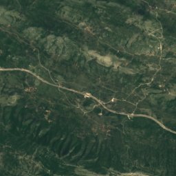
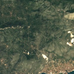
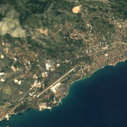
Satellite: Sentinel-2 cloudless 2016 by EOX IT Services GmbH · CC BY 4.0 · Contains modified Copernicus Sentinel data 2016

Stay nearby
Towns close by


Photo: Quahadi Añtó 17:10, 3 May 2011 (UTC) · CC BY-SA 3.0 · Wikimedia CommonsReport this photo · linked, not stored
Dugopolje
Split-Dalmatia · 4.2 km NW
19°Oct high
10wet days
77score
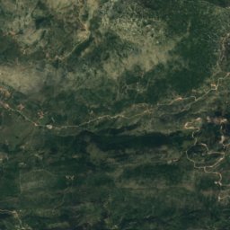
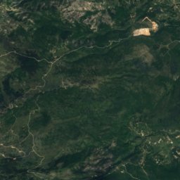
Satellite: Sentinel-2 cloudless 2016 by EOX IT Services GmbH · CC BY 4.0 · Contains modified Copernicus Sentinel data 2016
Greda
Split-Dalmatia · 6.9 km NE
19°Oct high
10wet days
77score

Around here
Bisko and around
Nature
Satellite: Sentinel-2 cloudless 2016 by EOX IT Services GmbH · CC BY 4.0 · Contains modified Copernicus Sentinel data 2016
Mountain hut Umberto Girometta
Mountain hut · 868 m
Satellite: Sentinel-2 cloudless 2016 by EOX IT Services GmbH · CC BY 4.0 · Contains modified Copernicus Sentinel data 2016
Kraljeva peć
Cave
Mountains
Satellite: Sentinel-2 cloudless 2016 by EOX IT Services GmbH · CC BY 4.0 · Contains modified Copernicus Sentinel data 2016
Konj (Kamešnica)
1,852 m · Kamešnica

Heritage


Museums


Museum of the Cetinska Krajina Region
Regional museum · 1956