Skip to content
Destinations
Weather & climate
Nature
Outdoors
Culture
Events
Sky & live
Shamian
Photo: Unknown author · CC BY-SA 3.0 · Wikimedia Commons
ShamianReport this photo · linked, not stored
Datansha
Photo: Tim Wu · CC BY-SA 4.0 · Wikimedia Commons
DatanshaReport this photo · linked, not stored
Datansha
Ersha Island
Photo: 钉钉 · CC BY-SA 4.0 · Wikimedia Commons
Ersha IslandReport this photo · linked, not stored
Ersha Island
Baiyun Mountain
Photo: User:Popolon · CC BY-SA 3.0 · Wikimedia Commons
Baiyun MountainReport this photo · linked, not stored
Baiyun Mountain
IslandShamian, Guangdong

Shamian

IslandBest Jan · Nov–Dec
Elevation–above sea level
Area0.3 km²surface
Nearest townShamianunder 100 m
23.11° N, 113.24° EUTC+8 · China Standard Time
When to goShamian · weather score
JanFebMarAprMayJunJulAugSepOctNovDec73October
Best timeJan · Nov–Dec
October: high / low28° / 21°
Island

Shamian in brief

Shamian is an island in Shamian, Guangdong, China — island.

It covers about 0.3 km².

The nearest town in the atlas is Shamian, under 100 m to the N, where the weather is best in January, November and December.

Shamian: weather and travel guide

Weather nearby now

Forecast for Shamian
26°
Partly cloudy now
Wind10 km/h
Humidity58%
Cloud cover45%
Today
22 Oct
31°
24°
Fri
23 Oct
32°
23°
Sat
24 Oct
32°
23°
Sun
25 Oct
34°
24°
Mon
26 Oct
33°
24°

Model run 00:00 UTCRefreshed several times a day

The island from above

0.3 km² · coastline as mapped in OpenStreetMap
200 m
When to go

The best months around Shamian

Climate of Shamian

Month score in Shamian

Comfort, dry days and sunshine · out of 100
78
Jan
69
Feb
55
Mar
49
Apr
39
May
29
Jun
29
Jul
30
Aug
41
Sep
73
Oct
85
Nov
88
Dec
Map

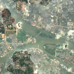
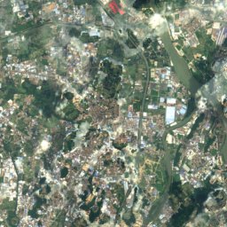
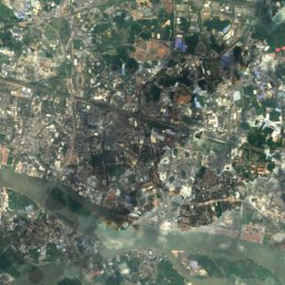
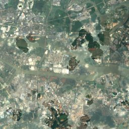
Shamian from above

Nature nearbyAll of China
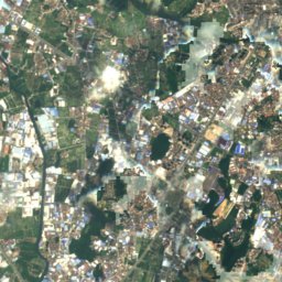
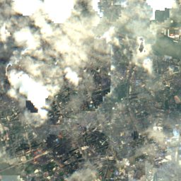
Satellite: Sentinel-2 cloudless 2016 by EOX IT Services GmbH · CC BY 4.0 · Contains modified Copernicus Sentinel data 2016
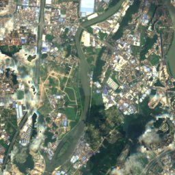
Litchi BayRiver1.7 kmNWLitchi Bay
Photo: Tim Wu · CC BY-SA 4.0 · Wikimedia CommonsReport this photo · linked, not stored
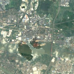
DatanshaIsland3.6 kmNWDatansha
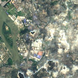
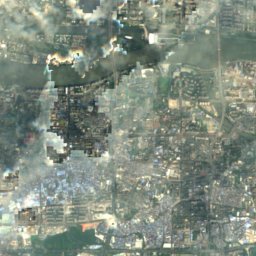
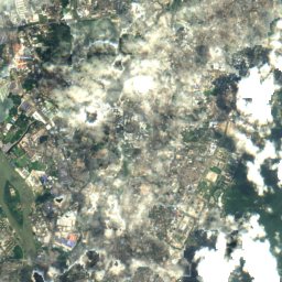
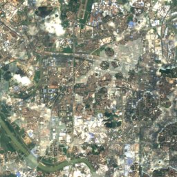
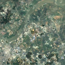
Satellite: Sentinel-2 cloudless 2016 by EOX IT Services GmbH · CC BY 4.0 · Contains modified Copernicus Sentinel data 2016
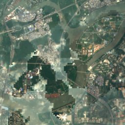
Hoi Yan SekIsland4.0 kmEHoi Yan Sek
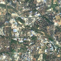
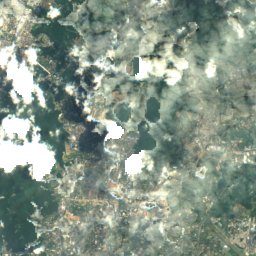
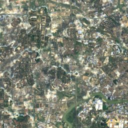
Satellite: Sentinel-2 cloudless 2016 by EOX IT Services GmbH · CC BY 4.0 · Contains modified Copernicus Sentinel data 2016
Ersha DaoIsland6.2 kmEErsha Dao
Photo: 钉钉 · CC BY-SA 4.0 · Wikimedia CommonsReport this photo · linked, not stored
Ersha IslandIsland6.2 kmEErsha Island
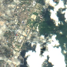
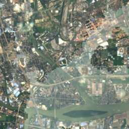
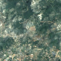
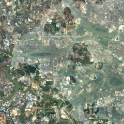
Satellite: Sentinel-2 cloudless 2016 by EOX IT Services GmbH · CC BY 4.0 · Contains modified Copernicus Sentinel data 2016
Yaji ShaIsland6.4 kmSEYaji Sha
Summits nearbyMountains of China
Photo: User:Popolon · CC BY-SA 3.0 · Wikimedia CommonsReport this photo · linked, not stored
Baiyun Mountain10 km NE382 mJuly 31°Baiyun Mountain
Stay nearby

Towns close by

Shamian
Photo: Unknown author · CC BY-SA 3.0 · Wikimedia CommonsReport this photo · linked, not stored

Shamian

Guangdong · under 100 m N
28°Oct high
6wet days
73score
Shamian
Guangzhou
Photo: Tim Wu · CC BY-SA 4.0 · Wikimedia CommonsReport this photo · linked, not stored

Guangzhou

Guangdong · 1.4 km NE
28°Oct high
6wet days
74score
Guangzhou
Huadi
Photo: Gzdavidwong · CC BY-SA 4.0 · Wikimedia CommonsReport this photo · linked, not stored

Huadi

Guangdong · 2.2 km SW
28°Oct high
6wet days
73score
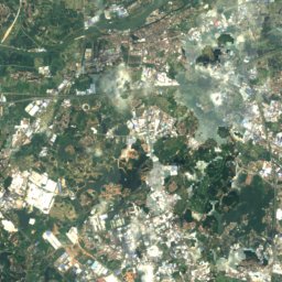
Huadi
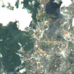
Satellite: Sentinel-2 cloudless 2016 by EOX IT Services GmbH · CC BY 4.0 · Contains modified Copernicus Sentinel data 2016

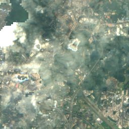
Dongsha

Guangdong · 4.8 km S
28°Oct high
6wet days
73score
Dongsha
Around here

Shamian and around

Shamian
Photo: Unknown author · CC BY-SA 3.0 · Wikimedia CommonsReport this photo · linked, not stored

Shamian

Guangdong · China
Jan · Nov–Decbest months
32°July high
11 maltitude
Shamian

Nature

Satellite: Sentinel-2 cloudless 2016 by EOX IT Services GmbH · CC BY 4.0 · Contains modified Copernicus Sentinel data 2016
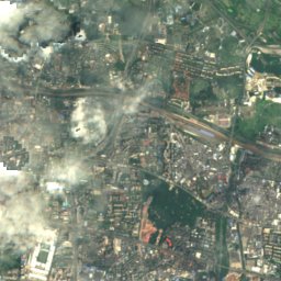
1.7 km NW

Litchi Bay

River
Litchi Bay
Pearl River
Photo: Unknown author · CC BY-SA 3.0 · Wikimedia CommonsReport this photo · linked, not stored
16 km NW

Pearl River

River
Pearl River
Ersha Island
Photo: 钉钉 · CC BY-SA 4.0 · Wikimedia CommonsReport this photo · linked, not stored
6.2 km E

Ersha Island

Island
Ersha Island

Mountains

Baiyun Mountain
Photo: User:Popolon · CC BY-SA 3.0 · Wikimedia CommonsReport this photo · linked, not stored
10 km NE

Baiyun Mountain

382 m
Baiyun Mountain
Mount Xiqiao
Photo: Whw · Public domain · Wikimedia CommonsReport this photo · linked, not stored
34 km SW

Mount Xiqiao

346 m
Mount Xiqiao

Heritage

Satellite: Sentinel-2 cloudless 2016 by EOX IT Services GmbH · CC BY 4.0 · Contains modified Copernicus Sentinel data 2016
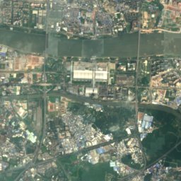
1.8 km NE

Sacred Heart Cathedral, Guangzhou

Major Historical and Cultural Site Protected at the National Level · 1888
Sacred Heart Cathedral, Guangzhou
Guangxiao Temple, Guangzhou
Photo: David Chen User:Iamdavidtheking 12:44, 11 April 2008 (UTC) · CC BY 3.0 · Wikimedia CommonsReport this photo · linked, not stored
2.8 km NE

Guangxiao Temple, Guangzhou

Major Historical and Cultural Site Protected at the National Level
Guangxiao Temple, Guangzhou
Canton Custom House
Photo: David Wong · CC BY-SA 3.0 · Wikimedia CommonsReport this photo · linked, not stored
0.7 km E

Canton Custom House

Major Historical and Cultural Site Protected at the National Level · 1916
Canton Custom House

Museums

Chen Clan Academy
Photo: Shujianyang · CC BY-SA 4.0 · Wikimedia CommonsReport this photo · linked, not stored
2.2 km N

Chen Clan Academy

1894
Chen Clan Academy
Guangdong Museum of Revolutionary History
Photo: Zhangzhugang · CC BY-SA 4.0 · Wikimedia CommonsReport this photo · linked, not stored
3.1 km NE

Guangdong Museum of Revolutionary History

1959
Guangdong Museum of Revolutionary History
Guangzhou Railway Museum
Photo: 中少 · CC BY-SA 4.0 · Wikimedia CommonsReport this photo · linked, not stored
1.5 km W

Guangzhou Railway Museum

Railway museum · 2022
Guangzhou Railway Museum