
RiverShaoxing, Zhejiang
Cao'e River
River3 m elevationBest Apr · Oct–Nov
Elevation3 mabove sea level
Length182 kmsource to mouth
Nearest townShaoxing15 km
30.13° N, 120.64° EElevation 3 mUTC+8 · China Standard Time
When to goShaoxing · weather score
Best timeApr · Oct–Nov
October: high / low23° / 15°
River
Cao'e River in brief
Cao'e River is a river in Shaoxing, Zhejiang, China.
It lies at 3 m above sea level.
The nearest town in the atlas is Shaoxing, 15 km to the SW, where the weather is best in April, October and November.
Cao'e River is 182 km long.
Weather nearby now
Forecast for Shaoxing18°
Cloudy now
Today
22 Oct
21°
17°
Fri
23 Oct
20°
16°
14 mm
Sat
24 Oct
21°
18°
31 mm
Sun
25 Oct
22°
20°
30 mm
Mon
26 Oct
23°
19°
1 mm
Model run 00:00 UTCRefreshed several times a day
The course of the river
As mapped in OpenStreetMap, with the towns of the atlas along its banks.sourcemouth (or where the mapped line leaves the country)
Map
Cao'e River from above
Nature nearbyAll of China
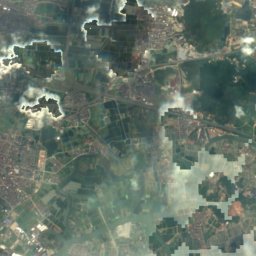
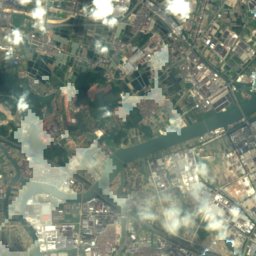
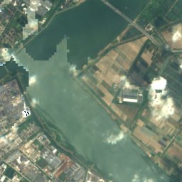
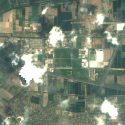
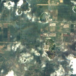
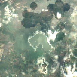
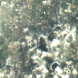
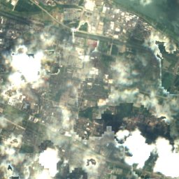
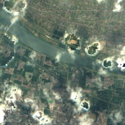
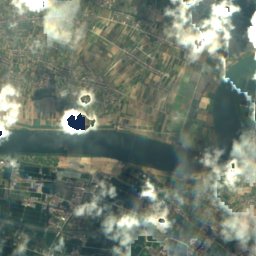
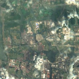
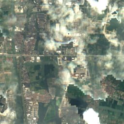
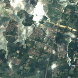
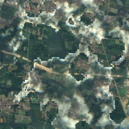
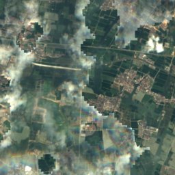
Satellite: Sentinel-2 cloudless 2016 by EOX IT Services GmbH · CC BY 4.0 · Contains modified Copernicus Sentinel data 2016
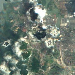
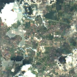
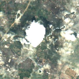
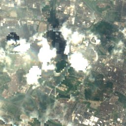
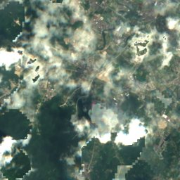
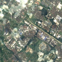
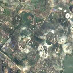
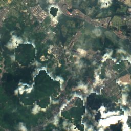
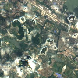
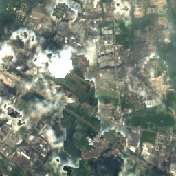
Satellite: Sentinel-2 cloudless 2016 by EOX IT Services GmbH · CC BY 4.0 · Contains modified Copernicus Sentinel data 2016
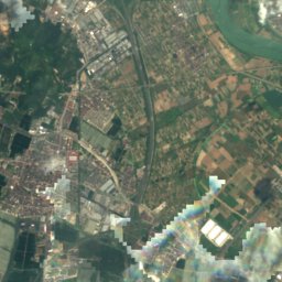
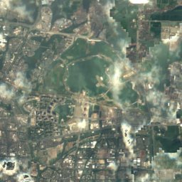
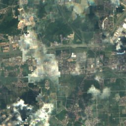
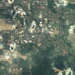
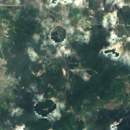
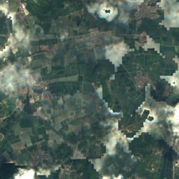
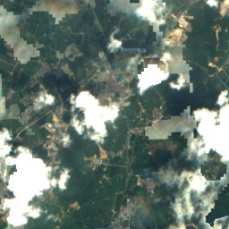
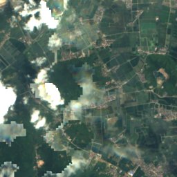
Satellite: Sentinel-2 cloudless 2016 by EOX IT Services GmbH · CC BY 4.0 · Contains modified Copernicus Sentinel data 2016


Around here
Shaoxing and around
Nature
Satellite: Sentinel-2 cloudless 2016 by EOX IT Services GmbH · CC BY 4.0 · Contains modified Copernicus Sentinel data 2016
Guazhu Hu
Lake
Satellite: Sentinel-2 cloudless 2016 by EOX IT Services GmbH · CC BY 4.0 · Contains modified Copernicus Sentinel data 2016
Daban Yang
Lake
Satellite: Sentinel-2 cloudless 2016 by EOX IT Services GmbH · CC BY 4.0 · Contains modified Copernicus Sentinel data 2016
Baita Yang
Lake
Heritage

Former Residence of Cai Yuanpei
Major Historical and Cultural Site Protected at the National Level · 1644


Dashan Pagoda
Major Historical and Cultural Site Protected at the National Level
Museums


Satellite: Sentinel-2 cloudless 2016 by EOX IT Services GmbH · CC BY 4.0 · Contains modified Copernicus Sentinel data 2016