
Photo: Elvis Boaventura · CC BY 3.0 · Wikimedia Commons
Sofía lakeReport this photo · linked, not stored
Sofía lakeReport this photo · linked, not stored
LakePuerto Natales, Region of Magallanes
Sofía lake
LakeBest Jan–Feb · Dec
Elevation–above sea level
Area8.9 km²surface
Nearest townRío Turbio22 km
51.53° S, 72.65° WUTC−3
When to goPuerto Natales · weather score
Best timeJan–Feb · Dec
October: high / low9° / 3°
Lake
Sofía lake in brief
Sofía lake is a lake in Puerto Natales, Region of Magallanes, Chile.
It covers about 8.9 km².
The nearest town is Río Turbio, 22 km to the E, where the weather is best in January, February and December.
Weather nearby now
Forecast for Río Turbio9°
Clear now
Today
24 Oct
19°
12°
Sun
25 Oct
16°
7°
12 mm
Mon
26 Oct
12°
6°
11 mm
Tue
27 Oct
14°
5°
Wed
28 Oct
18°
5°
Model run 12:00 UTCRefreshed several times a day
When to go
Climate of Río TurbioThe best months around Sofía lake
Month score in Río Turbio
Comfort, dry days and sunshine · out of 10032
Jan
33
Feb
23
Mar
17
Apr
17
May
17
Jun
17
Jul
18
Aug
23
Sep
18
Oct
18
Nov
26
Dec
Map
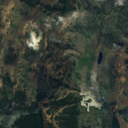
Sofía lake from above
Nature nearbyAll of Chile
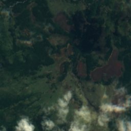
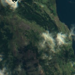
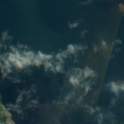
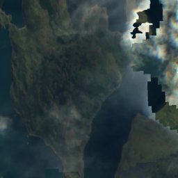
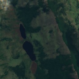
Satellite: Sentinel-2 cloudless 2016 by EOX IT Services GmbH · CC BY 4.0 · Contains modified Copernicus Sentinel data 2016
Satellite: Sentinel-2 cloudless 2016 by EOX IT Services GmbH · CC BY 4.0 · Contains modified Copernicus Sentinel data 2016
Satellite: Sentinel-2 cloudless 2016 by EOX IT Services GmbH · CC BY 4.0 · Contains modified Copernicus Sentinel data 2016
Satellite: Sentinel-2 cloudless 2016 by EOX IT Services GmbH · CC BY 4.0 · Contains modified Copernicus Sentinel data 2016
Stay nearby
Towns close by
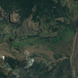
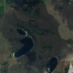
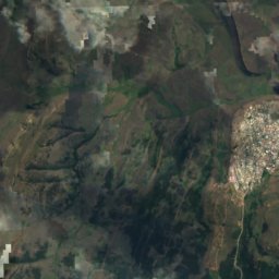
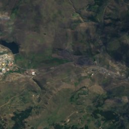
Satellite: Sentinel-2 cloudless 2016 by EOX IT Services GmbH · CC BY 4.0 · Contains modified Copernicus Sentinel data 2016
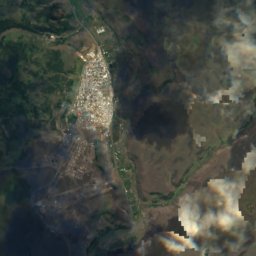
Río Turbio
Santa Cruz · 22 km E
8°Oct high
14wet days
18score
Satellite: Sentinel-2 cloudless 2016 by EOX IT Services GmbH · CC BY 4.0 · Contains modified Copernicus Sentinel data 2016
Veintiocho de Noviembre
Santa Cruz · 31 km E
8°Oct high
14wet days
19score
Around here
Puerto Natales and around

Puerto Natales
Region of Magallanes · Chile
Jan–Feb · Decbest months
3°July high
16 maltitude
Nature
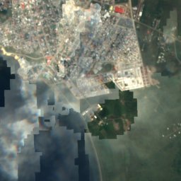
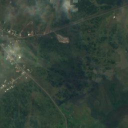
Satellite: Sentinel-2 cloudless 2016 by EOX IT Services GmbH · CC BY 4.0 · Contains modified Copernicus Sentinel data 2016
Islotes Cisnes
Island · 2 m
Satellite: Sentinel-2 cloudless 2016 by EOX IT Services GmbH · CC BY 4.0 · Contains modified Copernicus Sentinel data 2016
Islote Rata
Island

Satellite: Sentinel-2 cloudless 2016 by EOX IT Services GmbH · CC BY 4.0 · Contains modified Copernicus Sentinel data 2016
Isla Focus
Island · 41 m
Museums



Satellite: Sentinel-2 cloudless 2016 by EOX IT Services GmbH · CC BY 4.0 · Contains modified Copernicus Sentinel data 2016
Museo Histórico Municipalidad Natales
History museum