

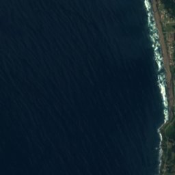
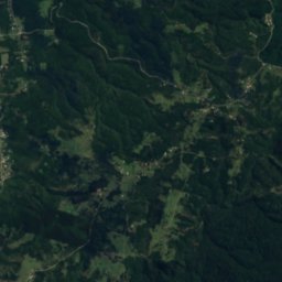
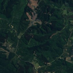
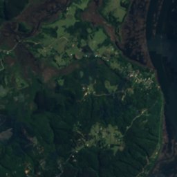
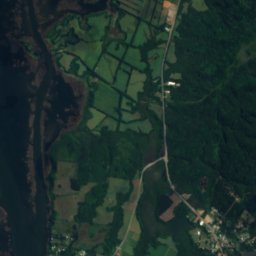
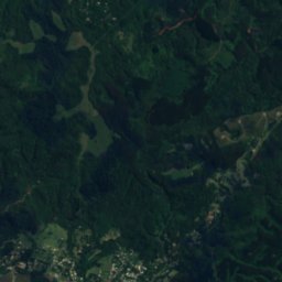

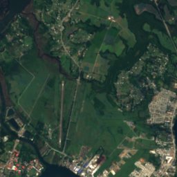
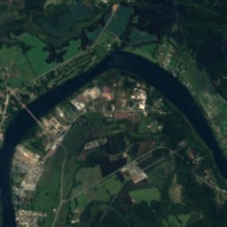
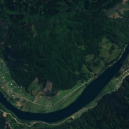

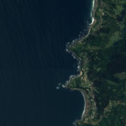
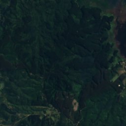
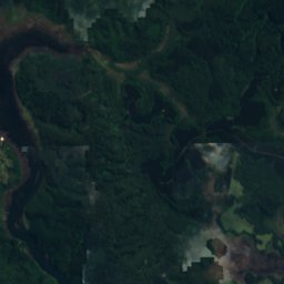
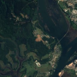
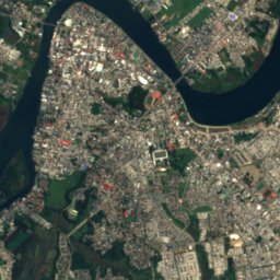
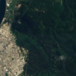
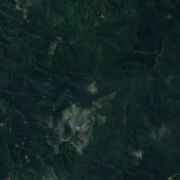
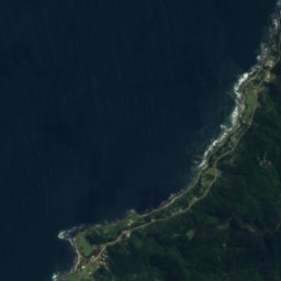
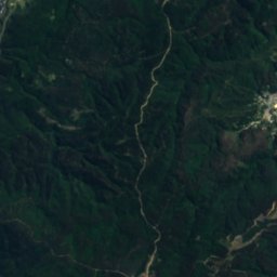
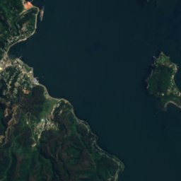
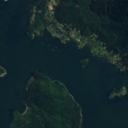
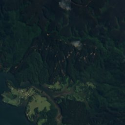
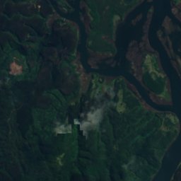
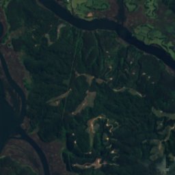
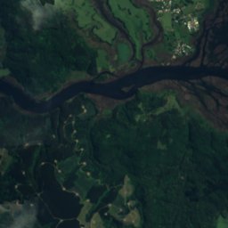
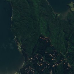
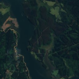
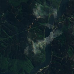
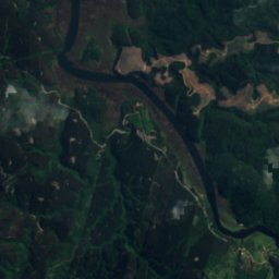
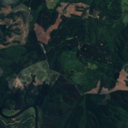
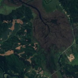
Satellite: Sentinel-2 cloudless 2016 by EOX IT Services GmbH · CC BY 4.0 · Contains modified Copernicus Sentinel data 2016

Photo: Aeveraal · CC BY-SA 4.0 · Wikimedia Commons
Isla del ReyReport this photo · linked, not stored
Isla del ReyIsla del ReyReport this photo · linked, not stored

Photo: Víctor Ignacio Zapata Aburto · CC BY-SA 3.0 · Wikimedia Commons
Cutipay RiverReport this photo · linked, not stored
Cutipay RiverCutipay RiverReport this photo · linked, not stored
IslandValdivia, Los Ríos Region
Isla Sofia
Island10 m elevationBest Jan–Feb · Dec
Elevation10 mabove sea level
Area–surface
Nearest townValdivia7.8 km
39.86° S, 73.32° WElevation 10 mUTC−3 · Chile Summer Time
When to goValdivia · weather score
Best timeJan–Feb · Dec
October: high / low15° / 8°
Island
Isla Sofia in brief
Isla Sofia is an island in Valdivia, Los Ríos Region, Chile.
It lies at 10 m above sea level.
The nearest town in the atlas is Valdivia, 7.8 km to the NE, where the weather is best in January, February and December.
Weather nearby now
Forecast for Valdivia17°
Showers now
Today
22 Oct
17°
11°
39 mm
Fri
23 Oct
18°
11°
10 mm
Sat
24 Oct
19°
11°
Sun
25 Oct
19°
11°
Mon
26 Oct
19°
12°
Model run 00:00 UTCRefreshed several times a day
Map
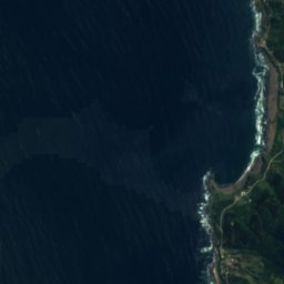
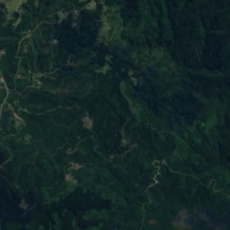
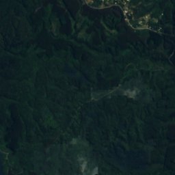
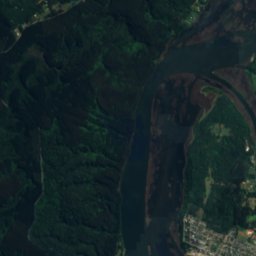
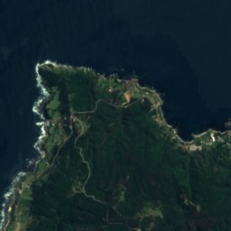
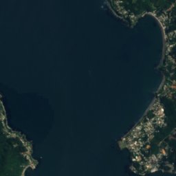
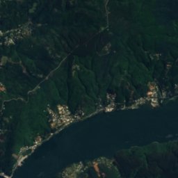
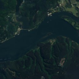
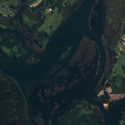
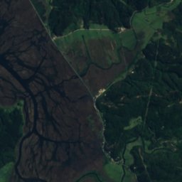
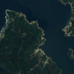
Isla Sofia from above
Nature nearbyAll of Chile
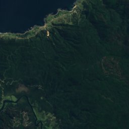
Satellite: Sentinel-2 cloudless 2016 by EOX IT Services GmbH · CC BY 4.0 · Contains modified Copernicus Sentinel data 2016
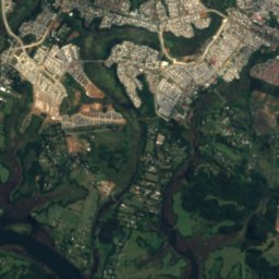
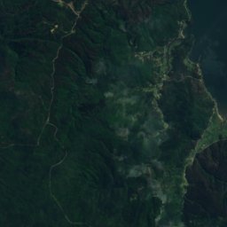
Satellite: Sentinel-2 cloudless 2016 by EOX IT Services GmbH · CC BY 4.0 · Contains modified Copernicus Sentinel data 2016

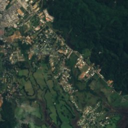
Satellite: Sentinel-2 cloudless 2016 by EOX IT Services GmbH · CC BY 4.0 · Contains modified Copernicus Sentinel data 2016
Photo: Víctor Ignacio Zapata Aburto · CC BY-SA 3.0 · Wikimedia CommonsReport this photo · linked, not stored
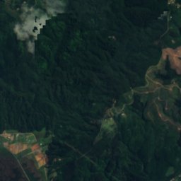
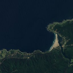
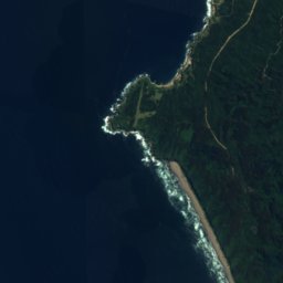
Satellite: Sentinel-2 cloudless 2016 by EOX IT Services GmbH · CC BY 4.0 · Contains modified Copernicus Sentinel data 2016
Summits nearbyMountains of Chile

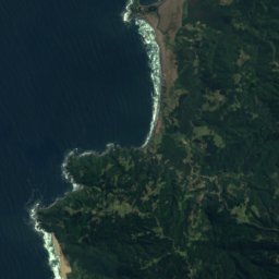
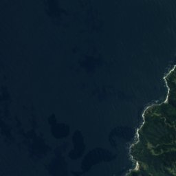
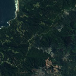
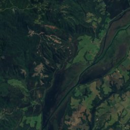

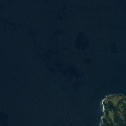
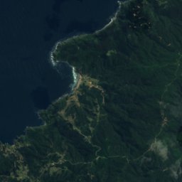
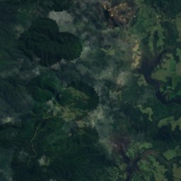
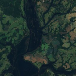
Satellite: Sentinel-2 cloudless 2016 by EOX IT Services GmbH · CC BY 4.0 · Contains modified Copernicus Sentinel data 2016





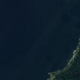
Around here
Valdivia and around
Nature


Photo: Latin America, Joint Operations Graphic 1:250,000, U.S. National Imagery and Map · Public domain · Wikimedia CommonsReport this photo · linked, not stored
Calle-Calle River
River
Photo: Víctor Ignacio Zapata Aburto · CC BY-SA 3.0 · Wikimedia CommonsReport this photo · linked, not stored
Cutipay River
River
Mountains
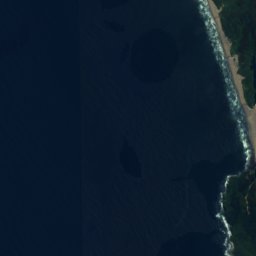
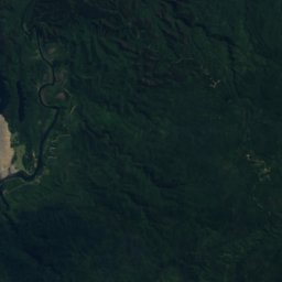
Satellite: Sentinel-2 cloudless 2016 by EOX IT Services GmbH · CC BY 4.0 · Contains modified Copernicus Sentinel data 2016
Cerro Chaihuín
880 m · Cordillera Pelada
Satellite: Sentinel-2 cloudless 2016 by EOX IT Services GmbH · CC BY 4.0 · Contains modified Copernicus Sentinel data 2016
Cerro Oncol
715 m · Valdivian Coast Range
Heritage

Photo: Carlos Figueroa Rojas · CC BY-SA 4.0 · Wikimedia CommonsReport this photo · linked, not stored
Casa de la Memoria de los Derechos Humanos de Valdivia
national monument of Chile · 2010


Iglesia San Francisco de Valdivia
Historical Monument of Chile
Museums

Museo Histórico y Antropológico Maurice van de Maele
Archaeological museum · 1986


Museo de la Exploración Rudolph Amandus Philippi
History museum · 2006