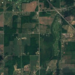
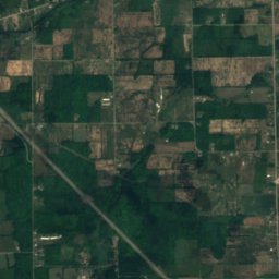
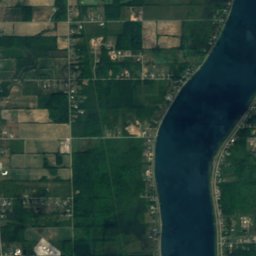
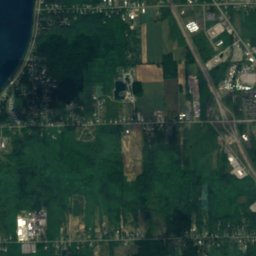
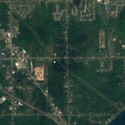
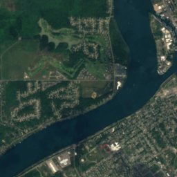
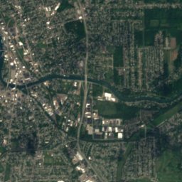
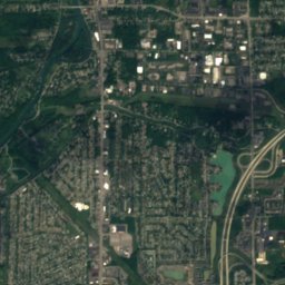
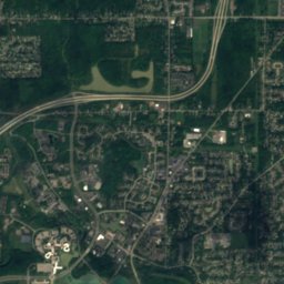
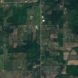
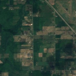
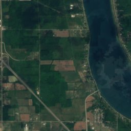
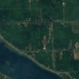
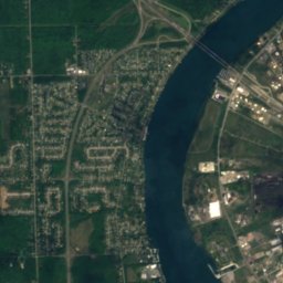
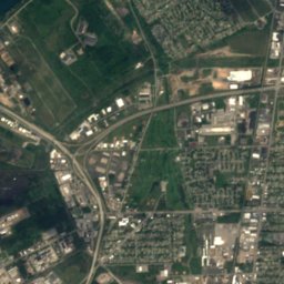
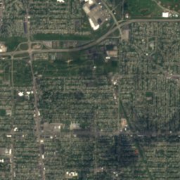
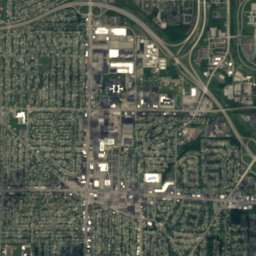
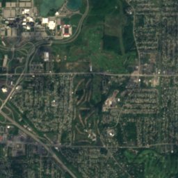
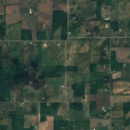
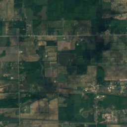
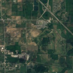
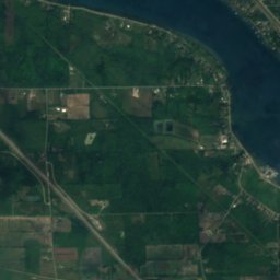
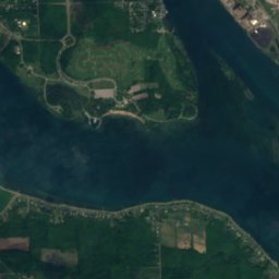
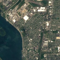
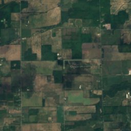
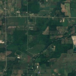
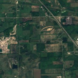
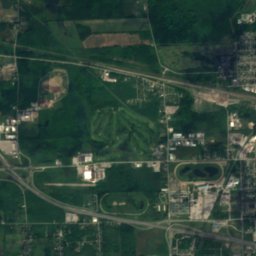
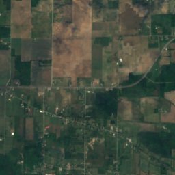
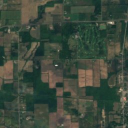
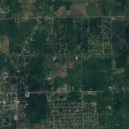
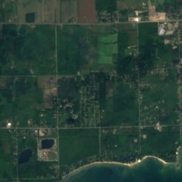
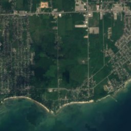
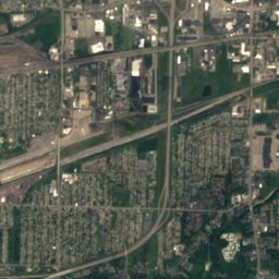
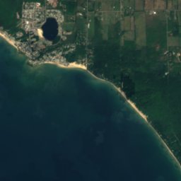
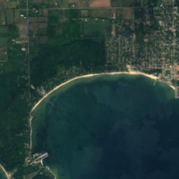
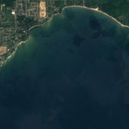

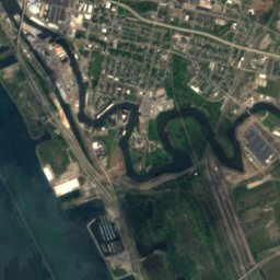
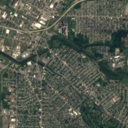
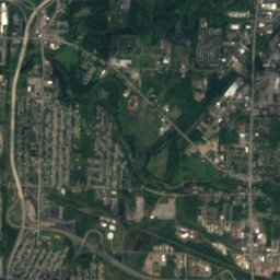
Satellite: Sentinel-2 cloudless 2016 by EOX IT Services GmbH · CC BY 4.0 · Contains modified Copernicus Sentinel data 2016
IslandFort Erie, Ontario
Unity Island
IslandBest May–Jun · Sep
Elevation–above sea level
Area0.6 km²surface
Nearest townFort Erie3.9 km
42.93° N, 78.90° WUTC−4 · Eastern Daylight Time
When to goFort Erie · weather score
Best timeMay–Jun · Sep
October: high / low16° / 6°
Island
Unity Island in brief
Unity Island is an island in Fort Erie, Ontario, Canada — island in Buffalo, Erie County, New York, United States.
It covers about 0.6 km².
The nearest town in the atlas is Fort Erie, 3.9 km to the SW, where the weather is best in May, June and September.
Weather nearby now
Forecast for Fort Erie10°
Partly cloudy now
Today
22 Oct
17°
1°
Fri
23 Oct
14°
3°
Sat
24 Oct
16°
2°
Sun
25 Oct
17°
4°
Mon
26 Oct
16°
6°
Model run 00:00 UTCRefreshed several times a day
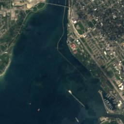
The island from above
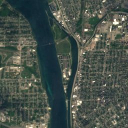
0.6 km² · coastline as mapped in OpenStreetMapMap
Unity Island from above
Nature nearbyAll of Canada
Satellite: Sentinel-2 cloudless 2016 by EOX IT Services GmbH · CC BY 4.0 · Contains modified Copernicus Sentinel data 2016
Satellite: Sentinel-2 cloudless 2016 by EOX IT Services GmbH · CC BY 4.0 · Contains modified Copernicus Sentinel data 2016
Satellite: Sentinel-2 cloudless 2016 by EOX IT Services GmbH · CC BY 4.0 · Contains modified Copernicus Sentinel data 2016
Satellite: Sentinel-2 cloudless 2016 by EOX IT Services GmbH · CC BY 4.0 · Contains modified Copernicus Sentinel data 2016
Satellite: Sentinel-2 cloudless 2016 by EOX IT Services GmbH · CC BY 4.0 · Contains modified Copernicus Sentinel data 2016
Satellite: Sentinel-2 cloudless 2016 by EOX IT Services GmbH · CC BY 4.0 · Contains modified Copernicus Sentinel data 2016
Stay nearby
Towns close by


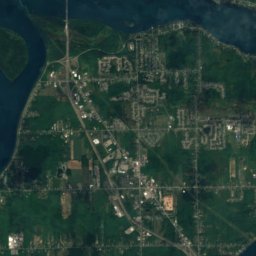
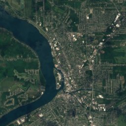
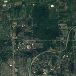
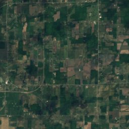
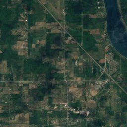
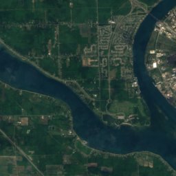
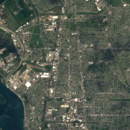
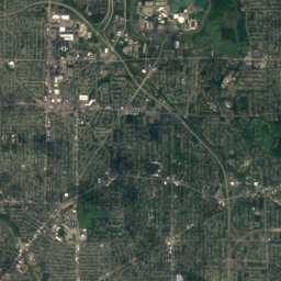
Satellite: Sentinel-2 cloudless 2016 by EOX IT Services GmbH · CC BY 4.0 · Contains modified Copernicus Sentinel data 2016
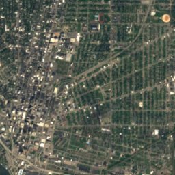
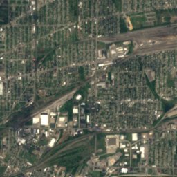
Grandyle Village
New York · 5.4 mi NW
16°Oct high
16wet days
51score
Around here
Fort Erie and around
Nature


Satellite: Sentinel-2 cloudless 2016 by EOX IT Services GmbH · CC BY 4.0 · Contains modified Copernicus Sentinel data 2016
Genesee Lake
Lake
Heritage

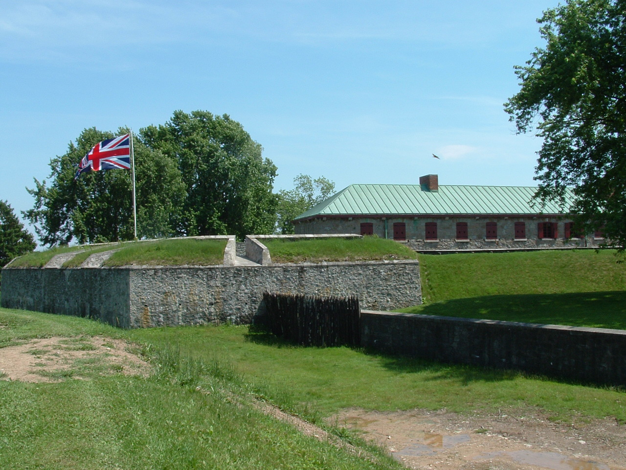
Photo: Robert Linsdell from St. Andrews, Canada · CC BY 2.0 · Wikimedia CommonsReport this photo · linked, not stored
Niagara River
Ramsar site
Satellite: Sentinel-2 cloudless 2016 by EOX IT Services GmbH · CC BY 4.0 · Contains modified Copernicus Sentinel data 2016
Peace Bridge
America's Most Endangered Historic Places · 1927
Museums

Photo: TonyTheTiger at English Wikipedia · CC BY-SA 3.0 · Wikimedia CommonsReport this photo · linked, not stored
Buffalo AKG Art Museum
Art museum · 1890


