
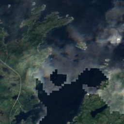
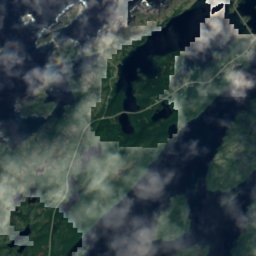
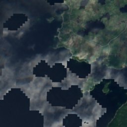
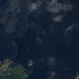
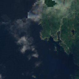
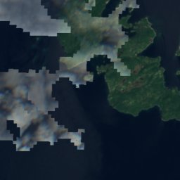
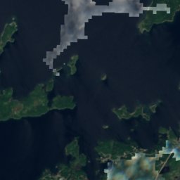
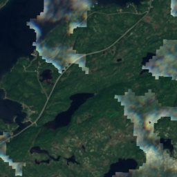
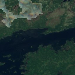
Satellite: Sentinel-2 cloudless 2016 by EOX IT Services GmbH · CC BY 4.0 · Contains modified Copernicus Sentinel data 2016
IslandTwillingate, Newfoundland and Labrador
Toadasses
IslandBest Jul–Sep
Elevation–above sea level
Area–surface
Nearest townTwillingate6.0 km
49.60° N, 54.80° WUTC−2:30 · Newfoundland Daylight Time
When to goTwillingate · weather score
Best timeJul–Sep
October: high / low9° / 6°
Island
Toadasses in brief
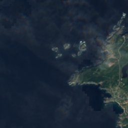
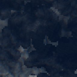
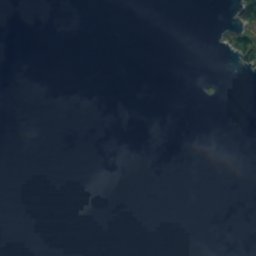
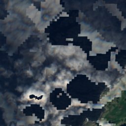
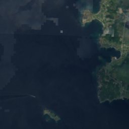
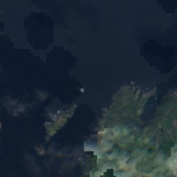
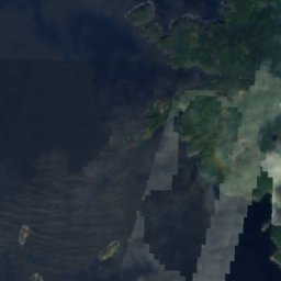
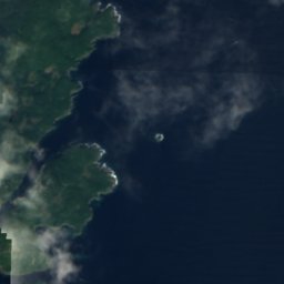
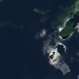
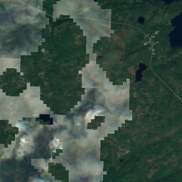
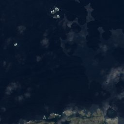
Toadasses is an island in Twillingate, Newfoundland and Labrador, Canada.
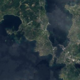
The nearest town is Twillingate, 6.0 km to the NE, where the weather is best in July, August and September.
Weather nearby now
Forecast for Twillingate4°
Partly cloudy now
Today
28 Oct
5°
2°
Thu
29 Oct
7°
5°
Fri
30 Oct
9°
6°
7 mm
Sat
31 Oct
5°
3°
2 mm
Sun
1 Nov
4°
1°
Model run 00:00 UTCRefreshed several times a day
When to go
Climate of TwillingateThe best months around Toadasses
Month score in Twillingate
Comfort, dry days and sunshine · out of 10012
Jan
17
Feb
15
Mar
19
Apr
16
May
17
Jun
46
Jul
58
Aug
40
Sep
21
Oct
15
Nov
12
Dec
Map
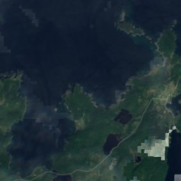
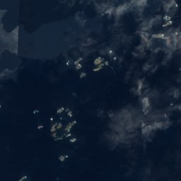
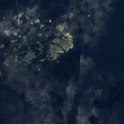
Toadasses from above
Nature nearbyAll of Canada
Satellite: Sentinel-2 cloudless 2016 by EOX IT Services GmbH · CC BY 4.0 · Contains modified Copernicus Sentinel data 2016
Satellite: Sentinel-2 cloudless 2016 by EOX IT Services GmbH · CC BY 4.0 · Contains modified Copernicus Sentinel data 2016
Satellite: Sentinel-2 cloudless 2016 by EOX IT Services GmbH · CC BY 4.0 · Contains modified Copernicus Sentinel data 2016
Satellite: Sentinel-2 cloudless 2016 by EOX IT Services GmbH · CC BY 4.0 · Contains modified Copernicus Sentinel data 2016
Satellite: Sentinel-2 cloudless 2016 by EOX IT Services GmbH · CC BY 4.0 · Contains modified Copernicus Sentinel data 2016
Satellite: Sentinel-2 cloudless 2016 by EOX IT Services GmbH · CC BY 4.0 · Contains modified Copernicus Sentinel data 2016
Summits nearbyMountains of Canada



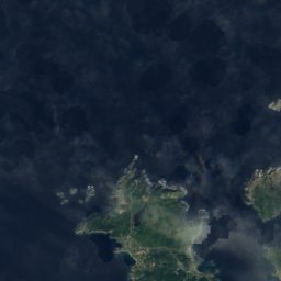
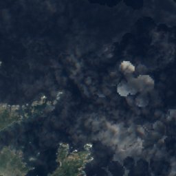
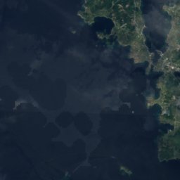
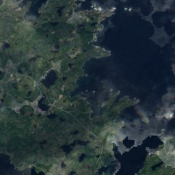
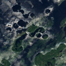
Satellite: Sentinel-2 cloudless 2016 by EOX IT Services GmbH · CC BY 4.0 · Contains modified Copernicus Sentinel data 2016
Stay nearby
Towns close by

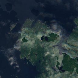
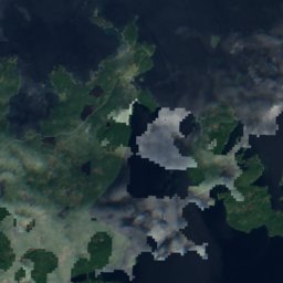
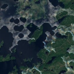
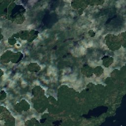
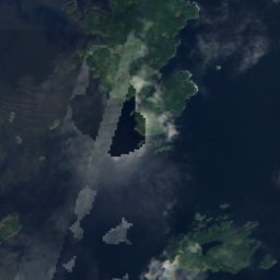
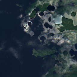
Satellite: Sentinel-2 cloudless 2016 by EOX IT Services GmbH · CC BY 4.0 · Contains modified Copernicus Sentinel data 2016
Virgin Arm-Carter's Cove
Newfoundland and Labrador · 7.5 km S
9°Oct high
12wet days
21score
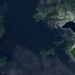
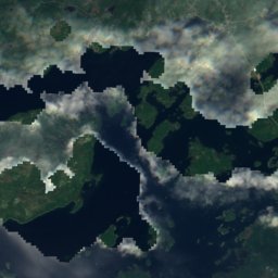
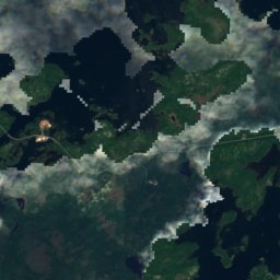
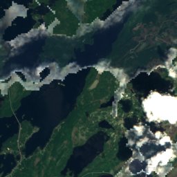
Satellite: Sentinel-2 cloudless 2016 by EOX IT Services GmbH · CC BY 4.0 · Contains modified Copernicus Sentinel data 2016
Summerford
Newfoundland and Labrador · 13 km S
9°Oct high
15wet days
17score

Comfort Cove-Newstead
Newfoundland and Labrador · 23 km S
10°Oct high
15wet days
17score
Around here
Twillingate and around
Nature

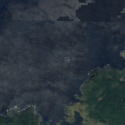
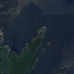
Satellite: Sentinel-2 cloudless 2016 by EOX IT Services GmbH · CC BY 4.0 · Contains modified Copernicus Sentinel data 2016
White Pilot Basin
Lake
Satellite: Sentinel-2 cloudless 2016 by EOX IT Services GmbH · CC BY 4.0 · Contains modified Copernicus Sentinel data 2016
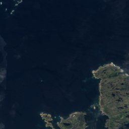
South Twillingate Island
Island
Satellite: Sentinel-2 cloudless 2016 by EOX IT Services GmbH · CC BY 4.0 · Contains modified Copernicus Sentinel data 2016
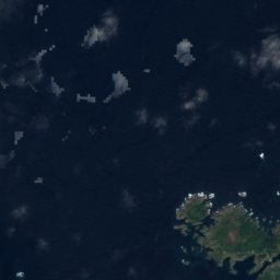
North Twillingate Island
Island
Mountains

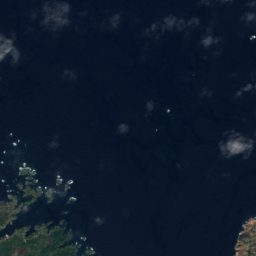
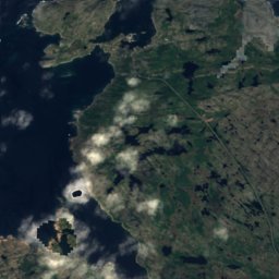
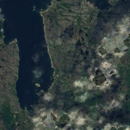
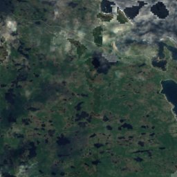
Satellite: Sentinel-2 cloudless 2016 by EOX IT Services GmbH · CC BY 4.0 · Contains modified Copernicus Sentinel data 2016
Lane's Lookout
89 m
Satellite: Sentinel-2 cloudless 2016 by EOX IT Services GmbH · CC BY 4.0 · Contains modified Copernicus Sentinel data 2016
North West Lookout
28 m
Heritage







Satellite: Sentinel-2 cloudless 2016 by EOX IT Services GmbH · CC BY 4.0 · Contains modified Copernicus Sentinel data 2016
Long Point Lighthouse
recognized federal heritage building of Canada · 1876
Museums


Satellite: Sentinel-2 cloudless 2016 by EOX IT Services GmbH · CC BY 4.0 · Contains modified Copernicus Sentinel data 2016
Twillingate Museum


Satellite: Sentinel-2 cloudless 2016 by EOX IT Services GmbH · CC BY 4.0 · Contains modified Copernicus Sentinel data 2016