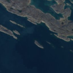
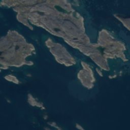
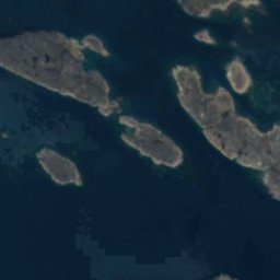
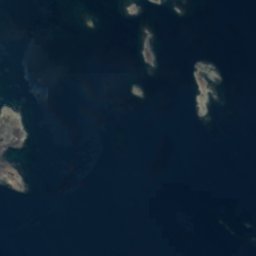






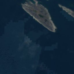




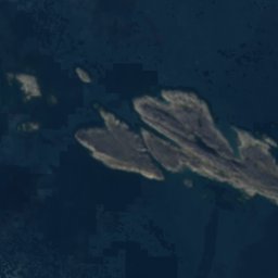
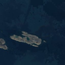

























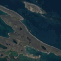
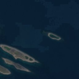


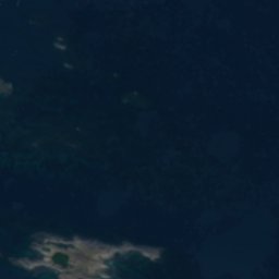




Satellite: Sentinel-2 cloudless 2016 by EOX IT Services GmbH · CC BY 4.0 · Contains modified Copernicus Sentinel data 2016
IslandRankin Inlet, Nunavut
Tiny Rock
IslandBest Jan–Feb · Jul
Elevation–above sea level
Area–surface
Nearest townRankin Inlet10 km
62.73° N, 91.97° WUTC−5 · Central Daylight Time
When to goRankin Inlet · weather score
Best timeJan–Feb · Jul
October: high / low-2° / -6°
Island
Tiny Rock in brief
Tiny Rock is an island in Rankin Inlet, Nunavut, Canada.
The nearest town is Rankin Inlet, 10 km to the NW, where the weather is best in January, February and July.
Weather nearby now
Forecast for Rankin Inlet-5°
Cloudy now
Today
24 Oct
-3°
-6°
Sun
25 Oct
-4°
-7°
Mon
26 Oct
-2°
-6°
1 mm
Tue
27 Oct
-2°
-4°
Wed
28 Oct
-2°
-4°
1 mm
Model run 12:00 UTCRefreshed several times a day
When to go
Climate of Rankin InletThe best months around Tiny Rock
Month score in Rankin Inlet
Comfort, dry days and sunshine · out of 10038
Jan
44
Feb
35
Mar
35
Apr
27
May
25
Jun
45
Jul
37
Aug
17
Sep
19
Oct
25
Nov
29
Dec
Map
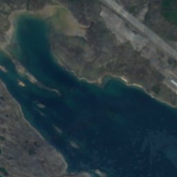
Tiny Rock from above
Nature nearbyAll of Canada
Satellite: Sentinel-2 cloudless 2016 by EOX IT Services GmbH · CC BY 4.0 · Contains modified Copernicus Sentinel data 2016
Satellite: Sentinel-2 cloudless 2016 by EOX IT Services GmbH · CC BY 4.0 · Contains modified Copernicus Sentinel data 2016
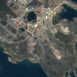
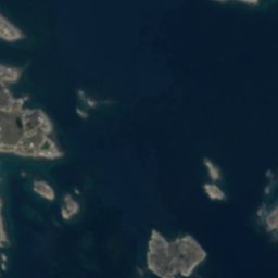
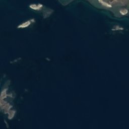
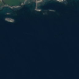
Satellite: Sentinel-2 cloudless 2016 by EOX IT Services GmbH · CC BY 4.0 · Contains modified Copernicus Sentinel data 2016
Satellite: Sentinel-2 cloudless 2016 by EOX IT Services GmbH · CC BY 4.0 · Contains modified Copernicus Sentinel data 2016
Around here
Rankin Inlet and around

Photo: Shawn from Airdrie, Canada · CC BY-SA 2.0 · Wikimedia CommonsReport this photo · linked, not stored
Rankin Inlet
Nunavut · Canada
Jan–Feb · Julbest months
13°July high
1 maltitude
Nature


Photo: OhanaUnitedTalk page · CC BY-SA 4.0 · Wikimedia CommonsReport this photo · linked, not stored
Cygnet Lake, Nunavut
Lake · 14 m


