Skip to content
Destinations
Weather & climate
Nature
Outdoors
Culture
Events
Sky & live
Speed River
Photo: I, Padraic Ryan · CC BY-SA 3.0 · Wikimedia Commons
Speed RiverReport this photo · linked, not stored
Puslinch Lake
Photo: Laslovarga · CC BY-SA 4.0 · Wikimedia Commons
Puslinch LakeReport this photo · linked, not stored
Puslinch Lake
RiverPreston, Ontario

Speed River

RiverBest May–Jun · Sep
Elevation–above sea level
Area–surface
Nearest townPreston1.5 km
43.39° N, 80.37° WUTC−4 · Eastern Daylight Time
When to goPreston · weather score
JanFebMarAprMayJunJulAugSepOctNovDec49October
Best timeMay–Jun · Sep
October: high / low15° / 4°
River

Speed River in brief

Speed River is a river in Preston, Ontario, Canada.

The nearest town in the atlas is Preston, 1.5 km to the E, where the weather is best in May, June and September.

Preston: weather and travel guide

Weather nearby now

Forecast for Preston
13°
Sunny now
Wind7 km/h
Humidity63%
Cloud cover5%
Today
22 Oct
19°
2°
Fri
23 Oct
13°
2°
Sat
24 Oct
15°
1°
Sun
25 Oct
18°
2°
Mon
26 Oct
16°
4°

Model run 00:00 UTCRefreshed several times a day

The course of the river

As mapped in OpenStreetMap, with the towns of the atlas along its banks.
sourcemouth (or where the mapped line leaves the country)
When to go

The best months around Speed River

Climate of Preston

Month score in Preston

Comfort, dry days and sunshine · out of 100
28
Jan
32
Feb
30
Mar
43
Apr
72
May
66
Jun
61
Jul
65
Aug
77
Sep
49
Oct
24
Nov
18
Dec
Map

Speed River from above

Nature nearbyAll of Canada
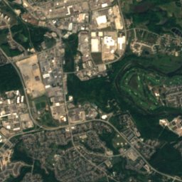
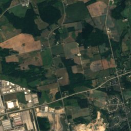
Satellite: Sentinel-2 cloudless 2016 by EOX IT Services GmbH · CC BY 4.0 · Contains modified Copernicus Sentinel data 2016
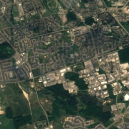
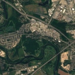
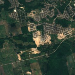
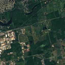
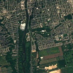
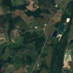
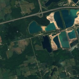
Barrie's LakeLake3.3 kmSBarrie's Lake
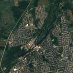
Satellite: Sentinel-2 cloudless 2016 by EOX IT Services GmbH · CC BY 4.0 · Contains modified Copernicus Sentinel data 2016
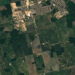
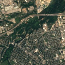
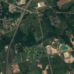
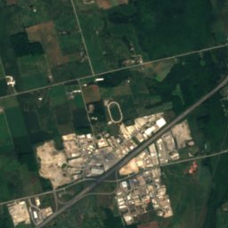
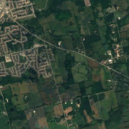
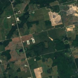
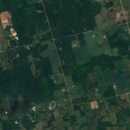
Orr's LakeLake3.5 kmSOrr's Lake
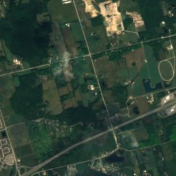
Satellite: Sentinel-2 cloudless 2016 by EOX IT Services GmbH · CC BY 4.0 · Contains modified Copernicus Sentinel data 2016
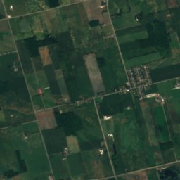
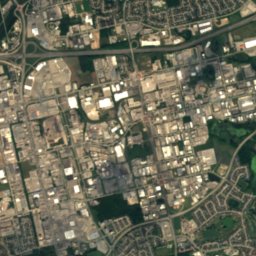
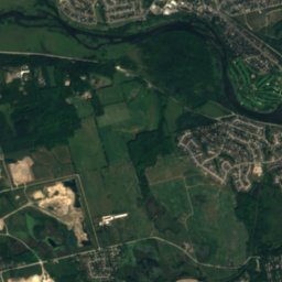
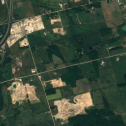
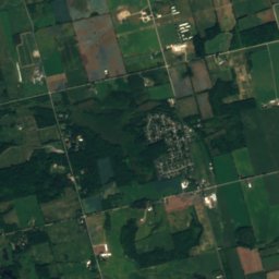
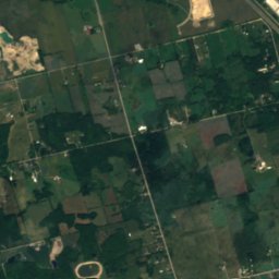
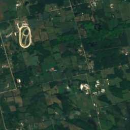
Taylor Lake, CambridgeLake7.7 kmSTaylor Lake, Cambridge
Photo: Laslovarga · CC BY-SA 4.0 · Wikimedia CommonsReport this photo · linked, not stored
Puslinch LakeLake8.8 kmEPuslinch Lake
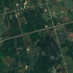
Satellite: Sentinel-2 cloudless 2016 by EOX IT Services GmbH · CC BY 4.0 · Contains modified Copernicus Sentinel data 2016
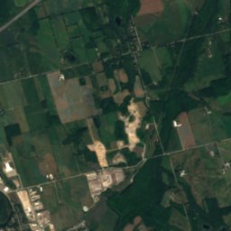
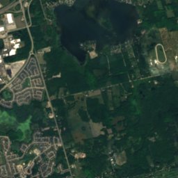
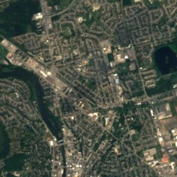
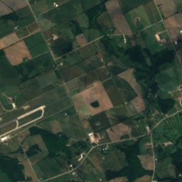
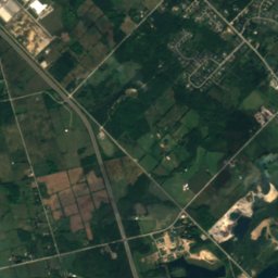
Summer Island, CambridgeIsland9.0 kmESummer Island, Cambridge
Satellite: Sentinel-2 cloudless 2016 by EOX IT Services GmbH · CC BY 4.0 · Contains modified Copernicus Sentinel data 2016
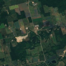
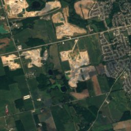
Big Island, CambridgeIsland9.1 kmEBig Island, Cambridge
Stay nearby

Towns close by

Preston
Photo: JFVoll · CC BY-SA 4.0 · Wikimedia CommonsReport this photo · linked, not stored

Preston

Ontario · 1.5 km E
15°Oct high
13wet days
49score
Preston
Cambridge
Photo: Balcer · CC BY 2.5 · Wikimedia CommonsReport this photo · linked, not stored

Cambridge

Ontario · 5.3 km SE
15°Oct high
13wet days
49score
Cambridge
Breslau
Photo: JFVoll · CC BY-SA 4.0 · Wikimedia CommonsReport this photo · linked, not stored

Breslau

Ontario · 9.7 km NW
14°Oct high
13wet days
47score
Breslau
Kitchener
Photo: Quintin Soloviev · CC BY 4.0 · Wikimedia CommonsReport this photo · linked, not stored

Kitchener

Ontario · 12 km W
14°Oct high
13wet days
46score
Kitchener
Around here

Preston and around

Preston
Photo: JFVoll · CC BY-SA 4.0 · Wikimedia CommonsReport this photo · linked, not stored

Preston

Ontario · Canada
May–Jun · Sepbest months
28°July high
279 maltitude
Preston

Nature

Puslinch Lake
Photo: Laslovarga · CC BY-SA 4.0 · Wikimedia CommonsReport this photo · linked, not stored
7.8 km NE

Puslinch Lake

Lake · 303 m
Puslinch Lake
Bannister Lake, Ontario
Photo: JFVoll · CC BY-SA 4.0 · Wikimedia CommonsReport this photo · linked, not stored
10 km S

Bannister Lake, Ontario

Lake · 301 m
Bannister Lake, Ontario
Satellite: Sentinel-2 cloudless 2016 by EOX IT Services GmbH · CC BY 4.0 · Contains modified Copernicus Sentinel data 2016
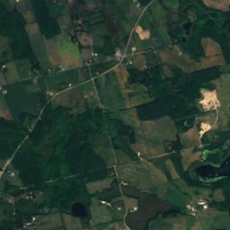
2.7 km S

Barrie's Lake

Lake · 307 m
Barrie's Lake

Heritage

Kitchener railway station
Photo: JustSomePics · CC BY-SA 3.0 · Wikimedia CommonsReport this photo · linked, not stored
14 km NW

Kitchener railway station

Heritage Railway Station of Canada · 1856
Kitchener railway station
Suddaby Public School
Photo: JFVoll · CC BY-SA 4.0 · Wikimedia CommonsReport this photo · linked, not stored
13 km NW

Suddaby Public School

designated heritage property (part IV) · 1857
Suddaby Public School
Waterloo County Gaol
Photo: Mac Armstrong · CC BY-SA 3.0 · Wikimedia CommonsReport this photo · linked, not stored
13 km NW

Waterloo County Gaol

designated heritage property (part IV) · 1853
Waterloo County Gaol

Museums

Satellite: Sentinel-2 cloudless 2016 by EOX IT Services GmbH · CC BY 4.0 · Contains modified Copernicus Sentinel data 2016
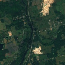
3.6 km SE

Cambridge Art Galleries

Art museum · 1986
Cambridge Art Galleries
Doon Heritage Village
Photo: Pcorb · CC BY-SA 3.0 · Wikimedia CommonsReport this photo · linked, not stored
7.4 km W

Doon Heritage Village

Open-air museum · 1957
Doon Heritage Village
Fashion History Museum
Photo: Jean1183 · CC BY-SA 4.0 · Wikimedia CommonsReport this photo · linked, not stored
6.4 km NE

Fashion History Museum

Fashion museum
Fashion History Museum