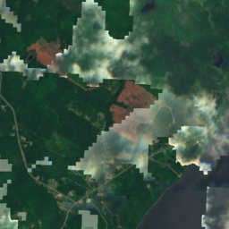
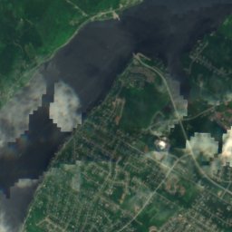
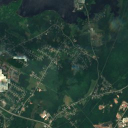
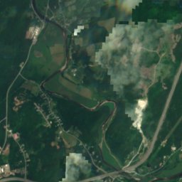
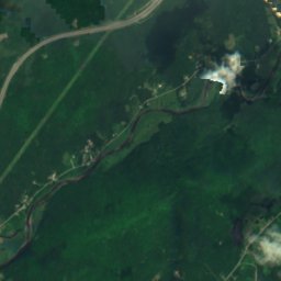
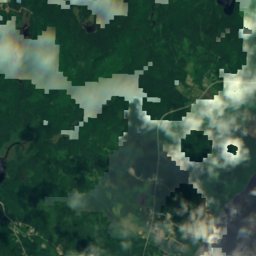
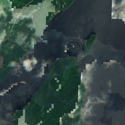
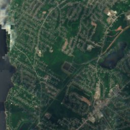
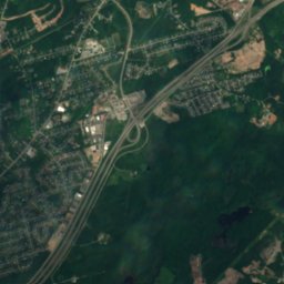
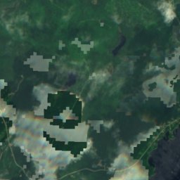
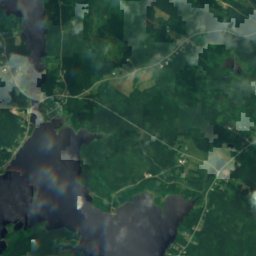
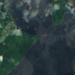
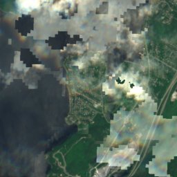
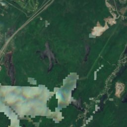
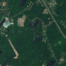
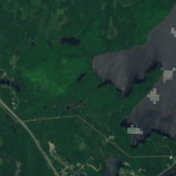
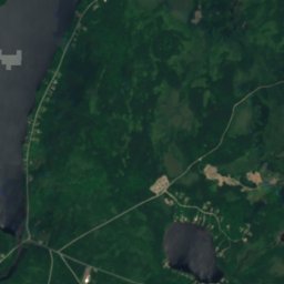
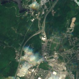
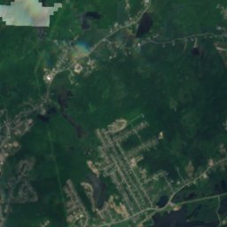
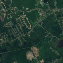
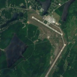
Satellite: Sentinel-2 cloudless 2016 by EOX IT Services GmbH · CC BY 4.0 · Contains modified Copernicus Sentinel data 2016
BeachRothesay, New Brunswick
Renforth Beach
BeachBest Jul–Sep
Elevation–above sea level
Sea, warmest14°CAugust
Nearest townRothesay4.3 km
45.36° N, 66.01° WUTC−3 · Atlantic Daylight Time
When to goRothesay · weather score
Best timeJul–Sep
October: high / low13° / 5°
Beach
Renforth Beach in brief
Renforth Beach is a beach in Rothesay, New Brunswick, Canada.
The nearest town is Rothesay, 4.3 km to the NE, where the weather is best in July, August and September.
The sea is warmest in August, at about 14°C.
Weather nearby now
Forecast for Rothesay4°
Clear now
Today
25 Oct
17°
1°
Mon
26 Oct
15°
2°
Tue
27 Oct
9°
1°
Wed
28 Oct
8°
-2°
Thu
29 Oct
13°
0°
Model run 12:00 UTCRefreshed several times a day
Sea and air through the year
Sea surface temperature off the coast and the average daily high in Rothesay, month by month.Jan4°-2°
Feb3°-1°
Mar2°3°
Apr3°9°
May5°15°
Jun9°19°
Jul13°22°
Aug14°22°
Sep13°19°
Oct12°13°
Nov10°7°
Dec7°2°
seaair, daily high
Map
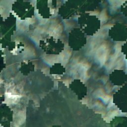
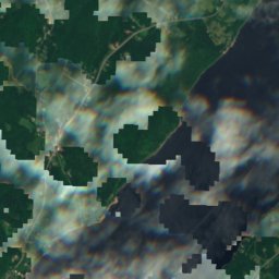
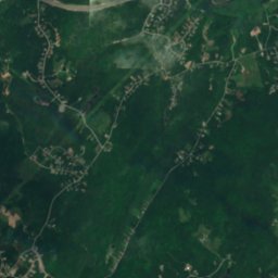
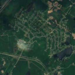
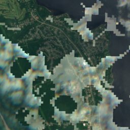
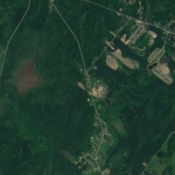
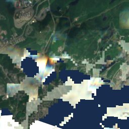
Renforth Beach from above
Nature nearbyAll of Canada
Satellite: Sentinel-2 cloudless 2016 by EOX IT Services GmbH · CC BY 4.0 · Contains modified Copernicus Sentinel data 2016
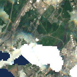
Satellite: Sentinel-2 cloudless 2016 by EOX IT Services GmbH · CC BY 4.0 · Contains modified Copernicus Sentinel data 2016
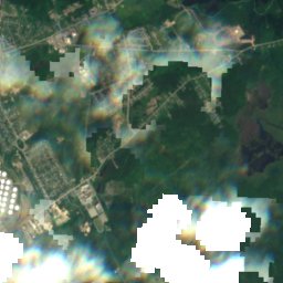
Satellite: Sentinel-2 cloudless 2016 by EOX IT Services GmbH · CC BY 4.0 · Contains modified Copernicus Sentinel data 2016
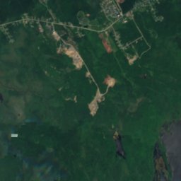
Satellite: Sentinel-2 cloudless 2016 by EOX IT Services GmbH · CC BY 4.0 · Contains modified Copernicus Sentinel data 2016
Satellite: Sentinel-2 cloudless 2016 by EOX IT Services GmbH · CC BY 4.0 · Contains modified Copernicus Sentinel data 2016
Satellite: Sentinel-2 cloudless 2016 by EOX IT Services GmbH · CC BY 4.0 · Contains modified Copernicus Sentinel data 2016
Summits nearbyMountains of Canada
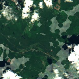
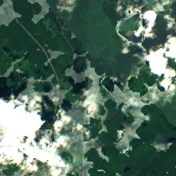
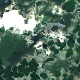
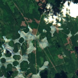
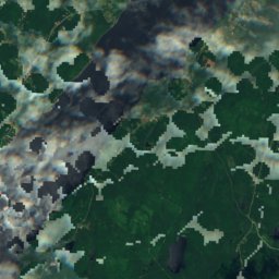
Satellite: Sentinel-2 cloudless 2016 by EOX IT Services GmbH · CC BY 4.0 · Contains modified Copernicus Sentinel data 2016
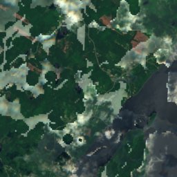
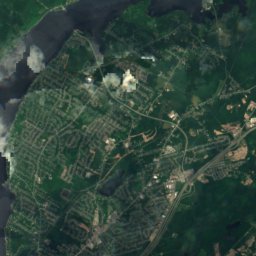
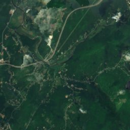
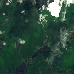
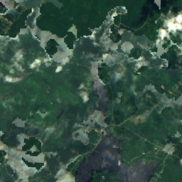
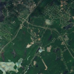
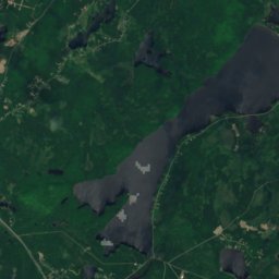
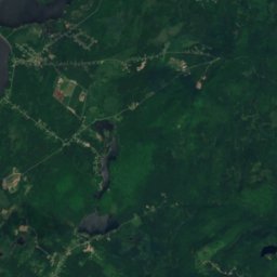
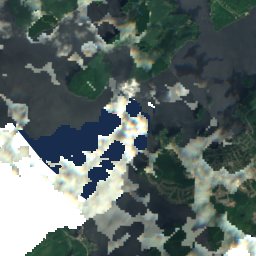
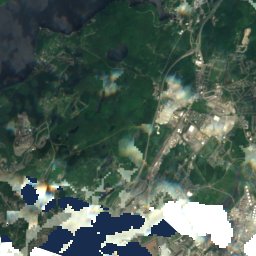
Satellite: Sentinel-2 cloudless 2016 by EOX IT Services GmbH · CC BY 4.0 · Contains modified Copernicus Sentinel data 2016
Stay nearby
Towns close by

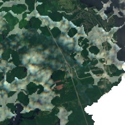
Satellite: Sentinel-2 cloudless 2016 by EOX IT Services GmbH · CC BY 4.0 · Contains modified Copernicus Sentinel data 2016
Forest Hills
New Brunswick · 5.4 km S
13°Oct high
10wet days
47score

Photo: Verne Equinox at en.wikipedia · CC BY 3.0 · Wikimedia CommonsReport this photo · linked, not stored
Fairvale
New Brunswick · 5.6 km NE
13°Oct high
10wet days
47score
Satellite: Sentinel-2 cloudless 2016 by EOX IT Services GmbH · CC BY 4.0 · Contains modified Copernicus Sentinel data 2016
Westmorland Heights
New Brunswick · 8.0 km S
13°Oct high
10wet days
47score
Around here
Rothesay and around
Nature
Satellite: Sentinel-2 cloudless 2016 by EOX IT Services GmbH · CC BY 4.0 · Contains modified Copernicus Sentinel data 2016
Waddell Lake, New Brunswick
Lake · 77 m
Satellite: Sentinel-2 cloudless 2016 by EOX IT Services GmbH · CC BY 4.0 · Contains modified Copernicus Sentinel data 2016
Waltons Lake
Lake · 92 m
Satellite: Sentinel-2 cloudless 2016 by EOX IT Services GmbH · CC BY 4.0 · Contains modified Copernicus Sentinel data 2016
Eastern Lake, New Brunswick
Lake · 68 m
Mountains
Satellite: Sentinel-2 cloudless 2016 by EOX IT Services GmbH · CC BY 4.0 · Contains modified Copernicus Sentinel data 2016
Mount Champlain
446 m · Appalachian Mountains
Satellite: Sentinel-2 cloudless 2016 by EOX IT Services GmbH · CC BY 4.0 · Contains modified Copernicus Sentinel data 2016
Ben Lomond, New Brunswick
120 m
Heritage
Photo: Verne Equinox at en.wikipedia · CC BY 3.0 · Wikimedia CommonsReport this photo · linked, not stored
Rothesay Railway Station
national historic site of Canada

Photo: Cam Steeves from Saint John, Canada · CC BY-SA 2.0 · Wikimedia CommonsReport this photo · linked, not stored
Imperial Theatre
national historic site of Canada · 1913

Photo: The original uploader was SaintJohnNB at English Wikipedia. · CC BY-SA 3.0 · Wikimedia CommonsReport this photo · linked, not stored
Domville Building
local historic place · 1878


