









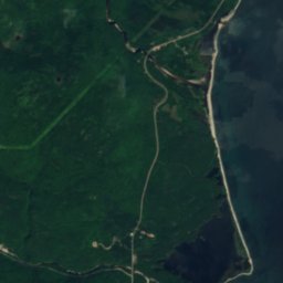







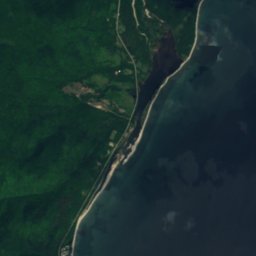
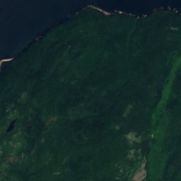
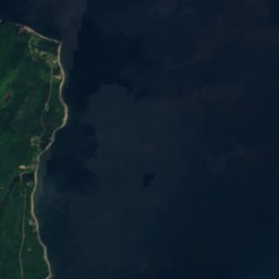
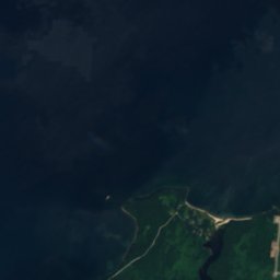
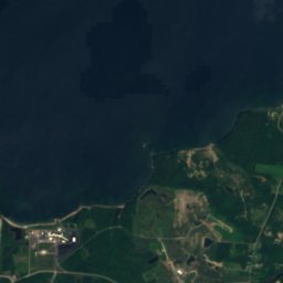


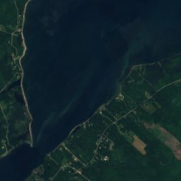
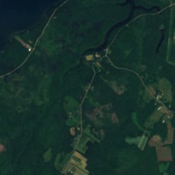
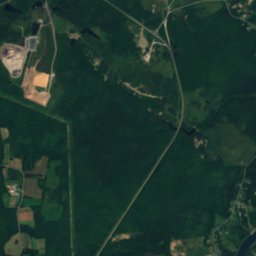
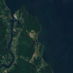


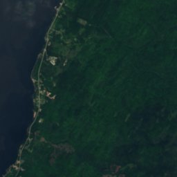
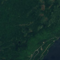
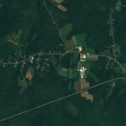
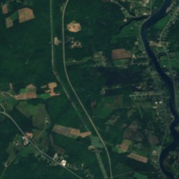
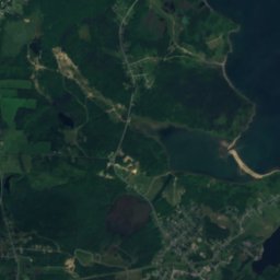
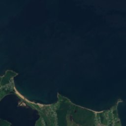

Satellite: Sentinel-2 cloudless 2016 by EOX IT Services GmbH · CC BY 4.0 · Contains modified Copernicus Sentinel data 2016

Photo: Ken Heaton · CC BY-SA 3.0 · Wikimedia Commons
Kellys MountainReport this photo · linked, not stored
Kellys MountainKellys MountainReport this photo · linked, not stored
IslandFlorence, Nova Scotia
Outer Table Rock
IslandBest Jul–Sep
Elevation–above sea level
Area–surface
Nearest townFlorence9.0 km
46.33° N, 60.32° WUTC−3 · Atlantic Daylight Time
When to goFlorence · weather score
Best timeJul–Sep
October: high / low12° / 8°
Island
Outer Table Rock in brief
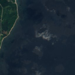
Outer Table Rock is an island in Florence, Nova Scotia, Canada.
The nearest town is Florence, 9.0 km to the SE, where the weather is best in July, August and September.
Weather nearby now
Forecast for Florence4°
Partly cloudy now
Today
28 Oct
8°
4°
Thu
29 Oct
12°
5°
Fri
30 Oct
12°
9°
2 mm
Sat
31 Oct
9°
5°
2 mm
Sun
1 Nov
7°
4°
Model run 12:00 UTCRefreshed several times a day
When to go
Climate of FlorenceThe best months around Outer Table Rock
Month score in Florence
Comfort, dry days and sunshine · out of 10015
Jan
19
Feb
21
Mar
23
Apr
28
May
54
Jun
67
Jul
73
Aug
72
Sep
39
Oct
14
Nov
12
Dec
Map
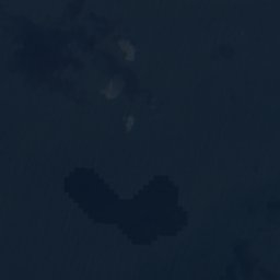
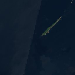
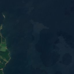
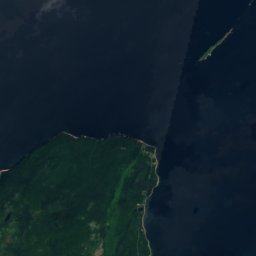
Outer Table Rock from above
Nature nearbyAll of Canada
Satellite: Sentinel-2 cloudless 2016 by EOX IT Services GmbH · CC BY 4.0 · Contains modified Copernicus Sentinel data 2016
Satellite: Sentinel-2 cloudless 2016 by EOX IT Services GmbH · CC BY 4.0 · Contains modified Copernicus Sentinel data 2016
Satellite: Sentinel-2 cloudless 2016 by EOX IT Services GmbH · CC BY 4.0 · Contains modified Copernicus Sentinel data 2016
Satellite: Sentinel-2 cloudless 2016 by EOX IT Services GmbH · CC BY 4.0 · Contains modified Copernicus Sentinel data 2016
Satellite: Sentinel-2 cloudless 2016 by EOX IT Services GmbH · CC BY 4.0 · Contains modified Copernicus Sentinel data 2016
Satellite: Sentinel-2 cloudless 2016 by EOX IT Services GmbH · CC BY 4.0 · Contains modified Copernicus Sentinel data 2016
Summits nearbyMountains of Canada

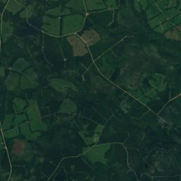
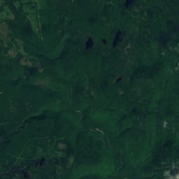
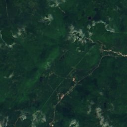
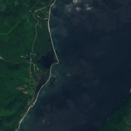
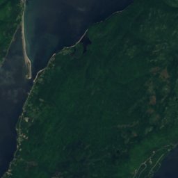
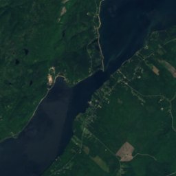
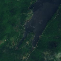
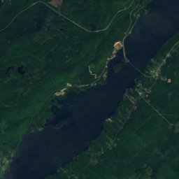
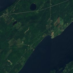
Satellite: Sentinel-2 cloudless 2016 by EOX IT Services GmbH · CC BY 4.0 · Contains modified Copernicus Sentinel data 2016
Stay nearby
Towns close by
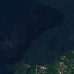
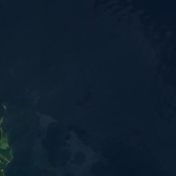

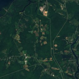
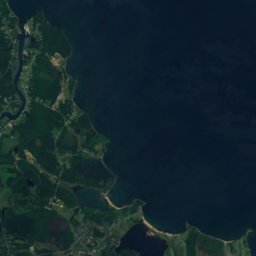
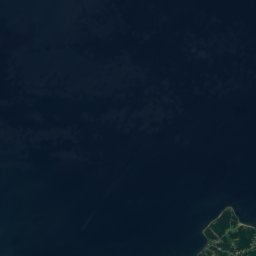
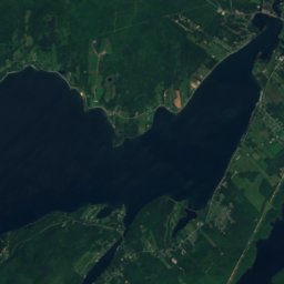
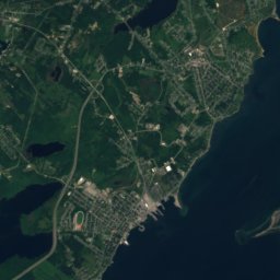
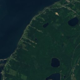
Satellite: Sentinel-2 cloudless 2016 by EOX IT Services GmbH · CC BY 4.0 · Contains modified Copernicus Sentinel data 2016
Florence
Nova Scotia · 9.0 km SE
12°Oct high
10wet days
39score


Around here
Florence and around
Nature
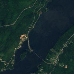
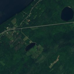
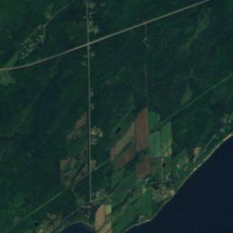
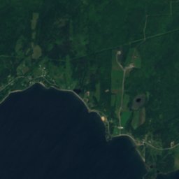
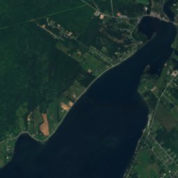
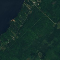
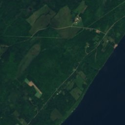
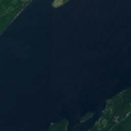
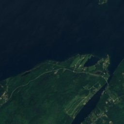
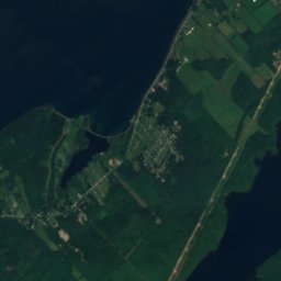
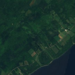
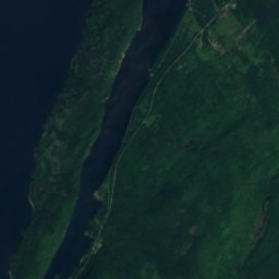
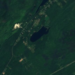
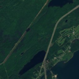
Satellite: Sentinel-2 cloudless 2016 by EOX IT Services GmbH · CC BY 4.0 · Contains modified Copernicus Sentinel data 2016
Scotch Lake, Nova Scotia
Lake
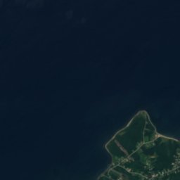
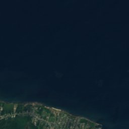

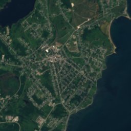
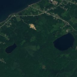
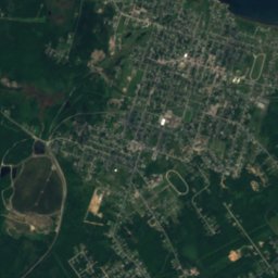
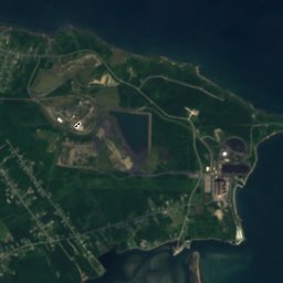
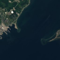
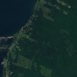
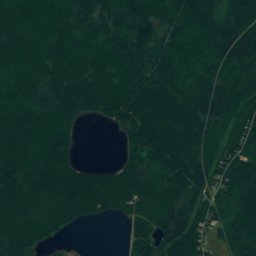
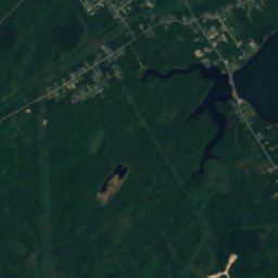
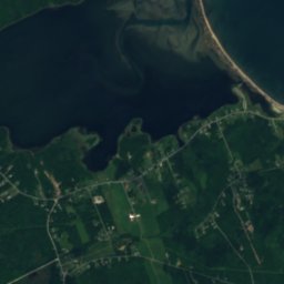
Satellite: Sentinel-2 cloudless 2016 by EOX IT Services GmbH · CC BY 4.0 · Contains modified Copernicus Sentinel data 2016
Waterford Lake
Lake · 24 m
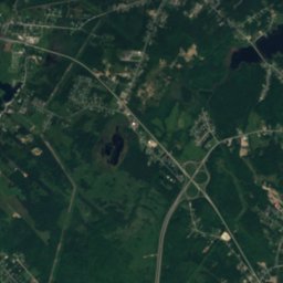
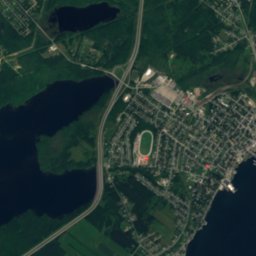
Satellite: Sentinel-2 cloudless 2016 by EOX IT Services GmbH · CC BY 4.0 · Contains modified Copernicus Sentinel data 2016
Cranberry Lake, Florence
Lake
Mountains
Satellite: Sentinel-2 cloudless 2016 by EOX IT Services GmbH · CC BY 4.0 · Contains modified Copernicus Sentinel data 2016
St. Anns Lookoff
257 m
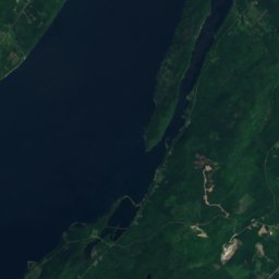
Satellite: Sentinel-2 cloudless 2016 by EOX IT Services GmbH · CC BY 4.0 · Contains modified Copernicus Sentinel data 2016
Beinn Scalpie
244 m
Heritage

Bank of Montreal Building, Sydney
Municipally Registered Property · 1901

Low Point Lighthouse
recognized federal heritage building of Canada · 1832

Museums
Satellite: Sentinel-2 cloudless 2016 by EOX IT Services GmbH · CC BY 4.0 · Contains modified Copernicus Sentinel data 2016
Sydney Mines Heritage Museum







Satellite: Sentinel-2 cloudless 2016 by EOX IT Services GmbH · CC BY 4.0 · Contains modified Copernicus Sentinel data 2016
Fort Petrie Military Museum
Military museum





Satellite: Sentinel-2 cloudless 2016 by EOX IT Services GmbH · CC BY 4.0 · Contains modified Copernicus Sentinel data 2016
Whitney Pier Historical Society Museum
1988