






Skip to content
Destinations
Weather & climate
Nature
Outdoors
Culture
Events
Sky & live
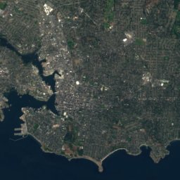
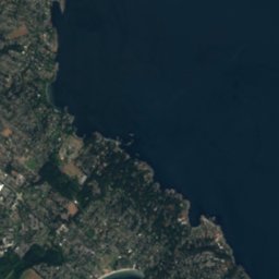
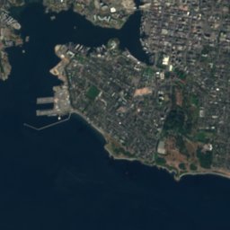
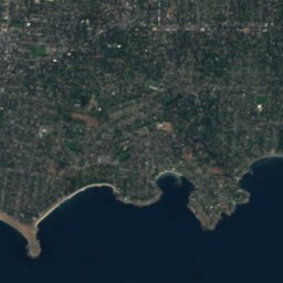
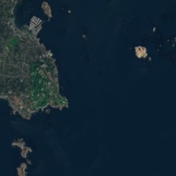
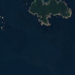
Satellite: Sentinel-2 cloudless 2016 by EOX IT Services GmbH · CC BY 4.0 · Contains modified Copernicus Sentinel data 2016
Fisgard Island
Photo: David Broad · CC BY 3.0 · Wikimedia Commons
Fisgard IslandReport this photo · linked, not stored
Fisgard Island
Mount Finlayson
Photo: Guillaumefg · CC BY-SA 4.0 · Wikimedia Commons
Mount FinlaysonReport this photo · linked, not stored
Mount Finlayson
IslandEsquimalt, British Columbia

Malacca Patch

IslandBest Jun–Aug
Elevation–above sea level
Area–surface
Nearest townEsquimalt0.6 km
48.43° N, 123.42° WUTC−7 · Pacific Daylight Time
When to goEsquimalt · weather score
JanFebMarAprMayJunJulAugSepOctNovDec44October
Best timeJun–Aug
October: high / low14° / 7°
Island

Malacca Patch in brief

Malacca Patch is an island in Esquimalt, British Columbia, Canada.

The nearest town is Esquimalt, 0.6 km to the NE, where the weather is best in June, July and August.

Esquimalt: weather and travel guide

Weather nearby now

Forecast for Esquimalt
6°
Partly cloudy now
Wind3 km/h
Humidity91%
Cloud cover41%
Today
23 Oct
15°
2°
Sat
24 Oct
10°
3°
7 mm
Sun
25 Oct
13°
6°
6 mm
Mon
26 Oct
14°
5°
Tue
27 Oct
14°
3°
2 mm

Model run 12:00 UTCRefreshed several times a day

When to go

The best months around Malacca Patch

Climate of Esquimalt

Month score in Esquimalt

Comfort, dry days and sunshine · out of 100
16
Jan
18
Feb
25
Mar
42
Apr
69
May
76
Jun
90
Jul
88
Aug
76
Sep
44
Oct
16
Nov
16
Dec
Map

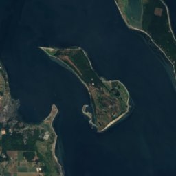
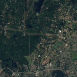
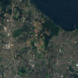
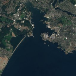
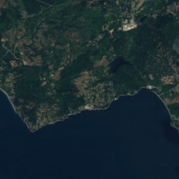
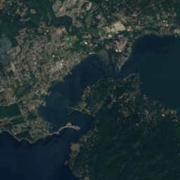
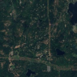
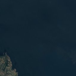
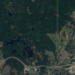
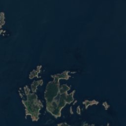
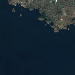
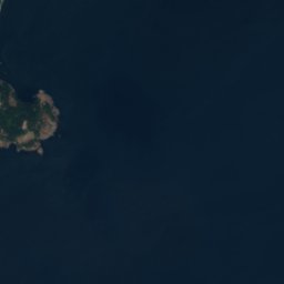
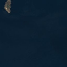
Malacca Patch from above

Nature nearbyAll of Canada
Satellite: Sentinel-2 cloudless 2016 by EOX IT Services GmbH · CC BY 4.0 · Contains modified Copernicus Sentinel data 2016
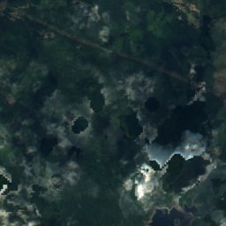
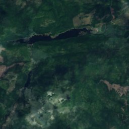
Richards Island, View RoyalIsland2.1 kmNWRichards Island, View Royal
Satellite: Sentinel-2 cloudless 2016 by EOX IT Services GmbH · CC BY 4.0 · Contains modified Copernicus Sentinel data 2016
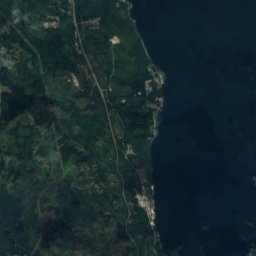
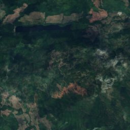
Harrison Island, British ColumbiaIsland2.1 kmSEHarrison Island, British Columbia
Photo: David Broad · CC BY 3.0 · Wikimedia CommonsReport this photo · linked, not stored
Fisgard IslandIsland2.1 kmWFisgard Island
Satellite: Sentinel-2 cloudless 2016 by EOX IT Services GmbH · CC BY 4.0 · Contains modified Copernicus Sentinel data 2016
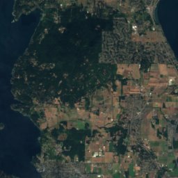
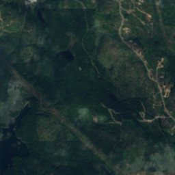
Work Island, British ColumbiaIsland2.1 kmSEWork Island, British Columbia
Satellite: Sentinel-2 cloudless 2016 by EOX IT Services GmbH · CC BY 4.0 · Contains modified Copernicus Sentinel data 2016
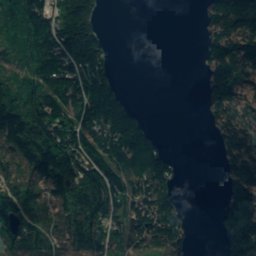
Berens Island, British ColumbiaIsland2.1 kmSEBerens Island, British Columbia
Satellite: Sentinel-2 cloudless 2016 by EOX IT Services GmbH · CC BY 4.0 · Contains modified Copernicus Sentinel data 2016
Whale Rock, View RoyalIsland2.3 kmNWWhale Rock, View Royal
Summits nearbyMountains of Canada
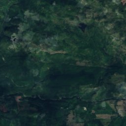
Satellite: Sentinel-2 cloudless 2016 by EOX IT Services GmbH · CC BY 4.0 · Contains modified Copernicus Sentinel data 2016
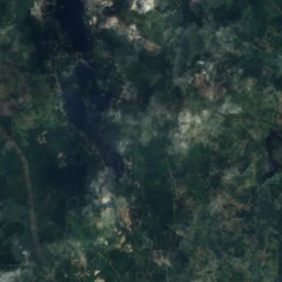
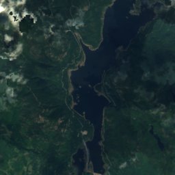
Mount Work12 km N449 mJuly 24°Mount Work
Photo: Guillaumefg · CC BY-SA 4.0 · Wikimedia CommonsReport this photo · linked, not stored
Mount Finlayson10 km NW419 mJuly 24°Mount Finlayson
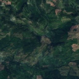
Satellite: Sentinel-2 cloudless 2016 by EOX IT Services GmbH · CC BY 4.0 · Contains modified Copernicus Sentinel data 2016
Mount Matheson16 km SW292 mJuly 22°Mount Matheson
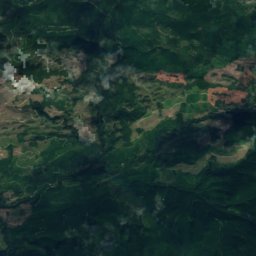
Satellite: Sentinel-2 cloudless 2016 by EOX IT Services GmbH · CC BY 4.0 · Contains modified Copernicus Sentinel data 2016
Mount Ash15 km SW219 mJuly 22°Mount Ash
Stay nearby

Towns close by

Esquimalt
Photo: Thomson M · CC BY 3.0 · Wikimedia CommonsReport this photo · linked, not stored

Esquimalt

British Columbia · 0.6 km NE
14°Oct high
16wet days
44score
Esquimalt
Tillicum
Photo: Michal Klajban · CC BY-SA 4.0 · Wikimedia CommonsReport this photo · linked, not stored

Tillicum

British Columbia · 2.4 km NE
15°Oct high
16wet days
45score
Tillicum
View Royal
Photo: John Newcomb · CC BY 3.0 · Wikimedia CommonsReport this photo · linked, not stored

View Royal

British Columbia · 3.7 km NW
15°Oct high
16wet days
47score
View Royal
Satellite: Sentinel-2 cloudless 2016 by EOX IT Services GmbH · CC BY 4.0 · Contains modified Copernicus Sentinel data 2016

Six Mile

British Columbia · 4.1 km NW
15°Oct high
16wet days
46score
Six Mile
Around here

Esquimalt and around

Esquimalt
Photo: Thomson M · CC BY 3.0 · Wikimedia CommonsReport this photo · linked, not stored

Esquimalt

British Columbia · Canada
Jun–Augbest months
23°July high
38 maltitude
Esquimalt

Nature

Elk Lake, British Columbia
Photo: Michal Klajban · CC BY-SA 4.0 · Wikimedia CommonsReport this photo · linked, not stored
11 km N

Elk Lake, British Columbia

Lake · 66 m
Elk Lake, British Columbia
Niagara Falls, British Columbia
Photo: Rt44 · CC BY-SA 4.0 · Wikimedia CommonsReport this photo · linked, not stored
12 km NW

Niagara Falls, British Columbia

Waterfall
Niagara Falls, British Columbia
Satellite: Sentinel-2 cloudless 2016 by EOX IT Services GmbH · CC BY 4.0 · Contains modified Copernicus Sentinel data 2016
11 km NW

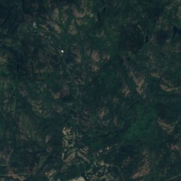
Goldstream River, British Columbia

River
Goldstream River, British Columbia

Mountains

Satellite: Sentinel-2 cloudless 2016 by EOX IT Services GmbH · CC BY 4.0 · Contains modified Copernicus Sentinel data 2016
39 km W

Valentine Mountain

713 m
Valentine Mountain
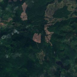
Satellite: Sentinel-2 cloudless 2016 by EOX IT Services GmbH · CC BY 4.0 · Contains modified Copernicus Sentinel data 2016
12 km NW

Mount Work

449 m · Gowlland Range
Mount Work
Mount Finlayson
Photo: Guillaumefg · CC BY-SA 4.0 · Wikimedia CommonsReport this photo · linked, not stored
11 km NW

Mount Finlayson

419 m · Gowlland Range
Mount Finlayson

Heritage

Fisgard Lighthouse
Photo: Bruce Tuten · CC BY 2.0 · Wikimedia CommonsReport this photo · linked, not stored
2.7 km W

Fisgard Lighthouse

national historic site of Canada · 1859
Fisgard Lighthouse
223 Robert Street
Photo: Michal Klajban · CC BY-SA 4.0 · Wikimedia CommonsReport this photo · linked, not stored
1.8 km SE

223 Robert Street

national historic site of Canada
223 Robert Street
1114 Arthur Currie Lane
Photo: Michal Klajban · CC BY-SA 4.0 · Wikimedia CommonsReport this photo · linked, not stored
2.1 km E

1114 Arthur Currie Lane

heritage designation
1114 Arthur Currie Lane

Museums

Royal British Columbia Museum
Photo: Michal Klajban · CC BY-SA 4.0 · Wikimedia CommonsReport this photo · linked, not stored
3.7 km SE

Royal British Columbia Museum

1886
Royal British Columbia Museum
Helmcken House
Photo: Hans-Jürgen Hübner / Hans-Jürgen Hübner · Public domain · Wikimedia CommonsReport this photo · linked, not stored
3.7 km SE

Helmcken House

Historic house museum
Helmcken House
Maritime Museum of BC
Photo: Bill Beers · CC BY 4.0 · Wikimedia CommonsReport this photo · linked, not stored
3.3 km E

Maritime Museum of BC

Maritime museum
Maritime Museum of BC