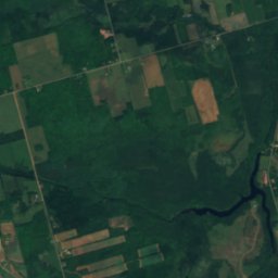
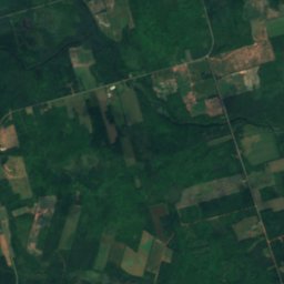
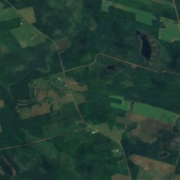
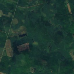
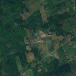
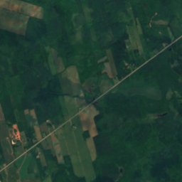
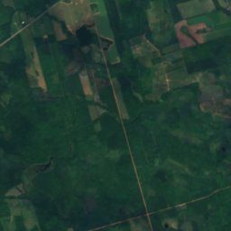
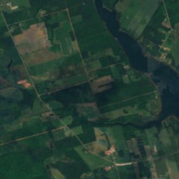
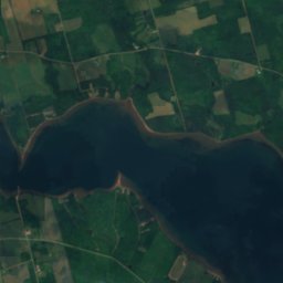
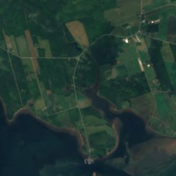
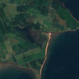
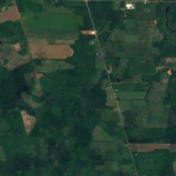
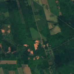
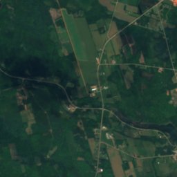
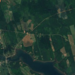
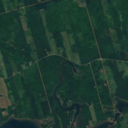
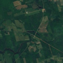
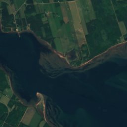
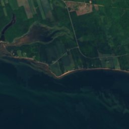
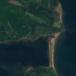

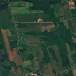
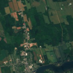
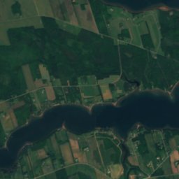
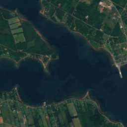


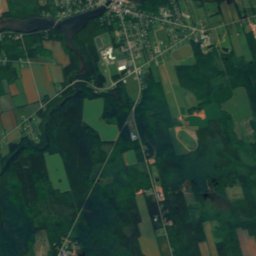
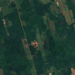
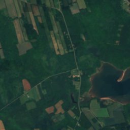
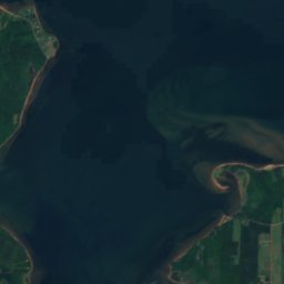
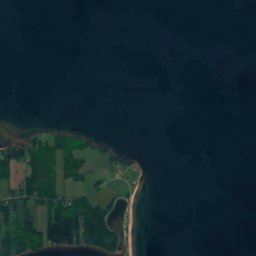


Satellite: Sentinel-2 cloudless 2016 by EOX IT Services GmbH · CC BY 4.0 · Contains modified Copernicus Sentinel data 2016
BeachGeorgetown, Prince Edward Island
MacPhee Beach
BeachBest Jul–Sep
Elevation–above sea level
Sea, warmest19°CAugust
Nearest townGeorgetown2.3 km
46.20° N, 62.52° WUTC−3 · Atlantic Daylight Time
When to goGeorgetown · weather score
Best timeJul–Sep
October: high / low12° / 8°
Beach
MacPhee Beach in brief
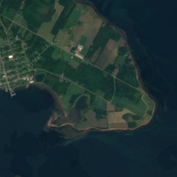
MacPhee Beach is a beach in Georgetown, Prince Edward Island, Canada.
The nearest town in the atlas is Georgetown, 2.3 km to the SW, where the weather is best in July, August and September.
The sea is warmest in August, at about 19°C.
Weather nearby now
Forecast for Georgetown10°
Cloudy now
Today
22 Oct
10°
7°
Fri
23 Oct
8°
6°
5 mm
Sat
24 Oct
8°
4°
Sun
25 Oct
15°
3°
Mon
26 Oct
13°
8°
1 mm
Model run 00:00 UTCRefreshed several times a day
Sea and air through the year
Sea surface temperature off the coast and the average daily high in Georgetown, month by month.Jan1°-2°
Feb0°-3°
Mar-1°1°
Apr1°6°
May5°11°
Jun11°17°
Jul17°21°
Aug19°22°
Sep17°18°
Oct13°12°
Nov9°6°
Dec4°1°
seaair, daily high
When to go
Climate of GeorgetownThe best months around MacPhee Beach
Month score in Georgetown
Comfort, dry days and sunshine · out of 10014
Jan
18
Feb
18
Mar
20
Apr
25
May
56
Jun
64
Jul
70
Aug
73
Sep
33
Oct
15
Nov
13
Dec
Map
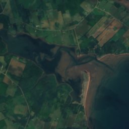
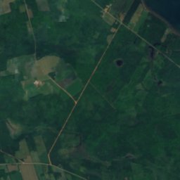
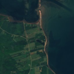
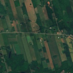
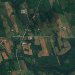
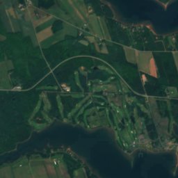
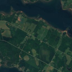
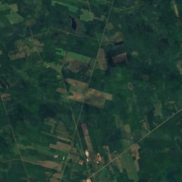
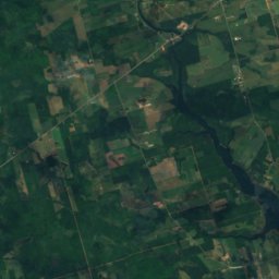
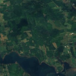
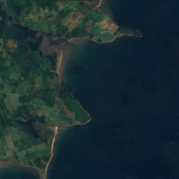
MacPhee Beach from above
Nature nearbyAll of Canada
Satellite: Sentinel-2 cloudless 2016 by EOX IT Services GmbH · CC BY 4.0 · Contains modified Copernicus Sentinel data 2016
Satellite: Sentinel-2 cloudless 2016 by EOX IT Services GmbH · CC BY 4.0 · Contains modified Copernicus Sentinel data 2016
Satellite: Sentinel-2 cloudless 2016 by EOX IT Services GmbH · CC BY 4.0 · Contains modified Copernicus Sentinel data 2016
Satellite: Sentinel-2 cloudless 2016 by EOX IT Services GmbH · CC BY 4.0 · Contains modified Copernicus Sentinel data 2016
Satellite: Sentinel-2 cloudless 2016 by EOX IT Services GmbH · CC BY 4.0 · Contains modified Copernicus Sentinel data 2016
Satellite: Sentinel-2 cloudless 2016 by EOX IT Services GmbH · CC BY 4.0 · Contains modified Copernicus Sentinel data 2016
Stay nearby
Towns close by


Photo: Photo: Gordon Leggett / Wikimedia Commons · CC BY-SA 4.0 · Wikimedia CommonsReport this photo · linked, not stored
Montague
Prince Edward Island · 11 km W
12°Oct high
13wet days
34score
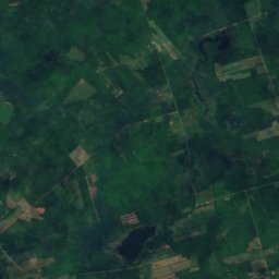
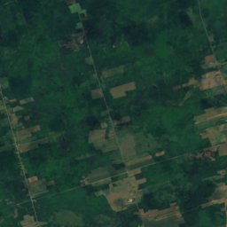
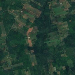
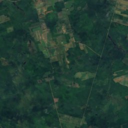
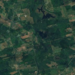
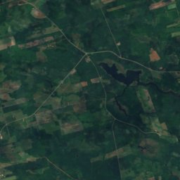
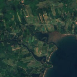
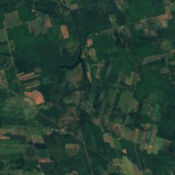
Satellite: Sentinel-2 cloudless 2016 by EOX IT Services GmbH · CC BY 4.0 · Contains modified Copernicus Sentinel data 2016
Central Kings
Prince Edward Island · 13 km N
12°Oct high
13wet days
32score

Around here
Georgetown and around
Nature

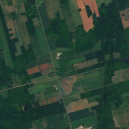
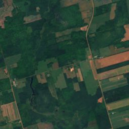
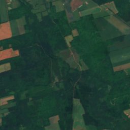
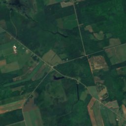
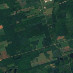
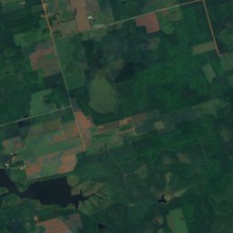
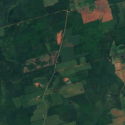
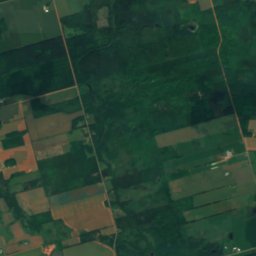
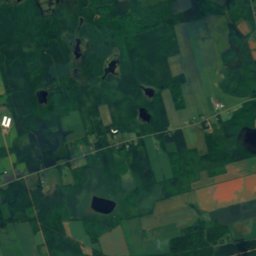
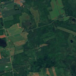
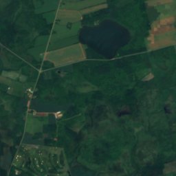
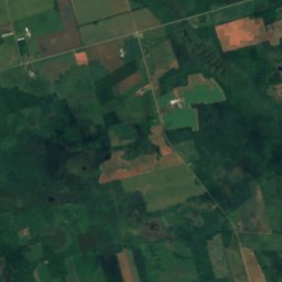
Satellite: Sentinel-2 cloudless 2016 by EOX IT Services GmbH · CC BY 4.0 · Contains modified Copernicus Sentinel data 2016
O'Keefes Lake
Lake

Museums


Satellite: Sentinel-2 cloudless 2016 by EOX IT Services GmbH · CC BY 4.0 · Contains modified Copernicus Sentinel data 2016
Cardigan Heritage Centre
Heritage centre