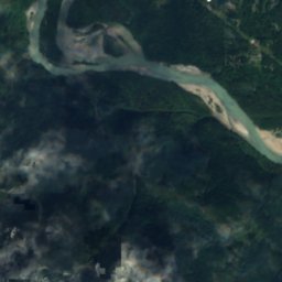
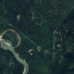
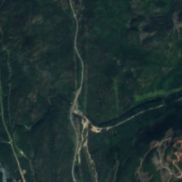
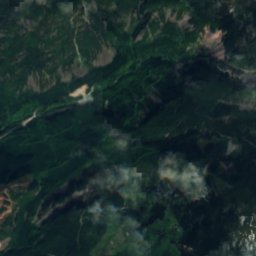
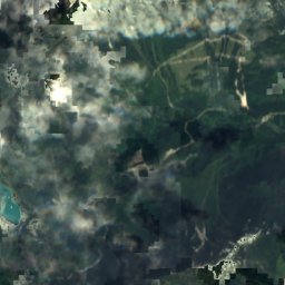
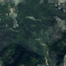
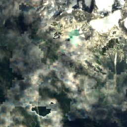
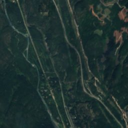
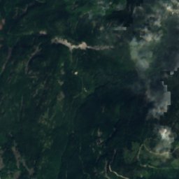
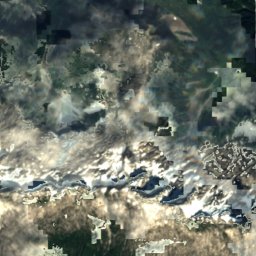
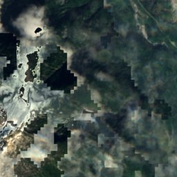
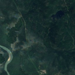
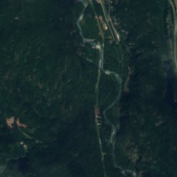
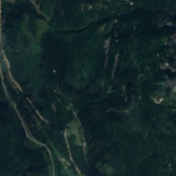
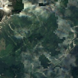
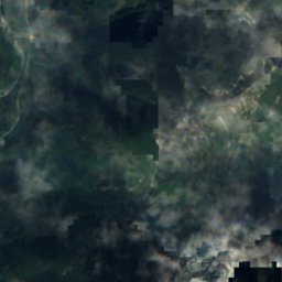
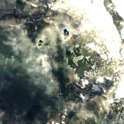
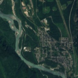
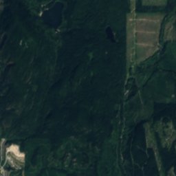
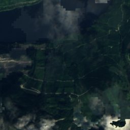
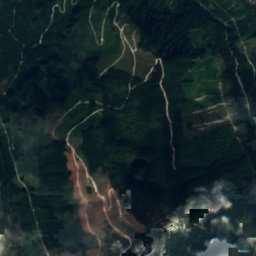
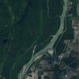
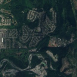
Satellite: Sentinel-2 cloudless 2016 by EOX IT Services GmbH · CC BY 4.0 · Contains modified Copernicus Sentinel data 2016

Photo: Tim Gage · CC BY-SA 2.0 · Wikimedia Commons
Mount GaribaldiReport this photo · linked, not stored
Mount GaribaldiMount GaribaldiReport this photo · linked, not stored

Photo: Andysonic777 · CC BY-SA 3.0 · Wikimedia Commons
Atwell PeakReport this photo · linked, not stored
Atwell PeakAtwell PeakReport this photo · linked, not stored

Photo: Kevin Teague · CC BY 2.0 · Wikimedia Commons
Mount TantalusReport this photo · linked, not stored
Mount TantalusMount TantalusReport this photo · linked, not stored
LakeSquamish, British Columbia
Lambda Lake
LakeBest Jul–Sep
Elevation–above sea level
Area–surface
Nearest townSquamish12 km
49.78° N, 123.27° WUTC−7 · Pacific Daylight Time
When to goSquamish · weather score
Best timeJul–Sep
October: high / low14° / 6°
Lake
Lambda Lake in brief
Lambda Lake is a lake in Squamish, British Columbia, Canada.
The nearest town is Squamish, 12 km to the SE, where the weather is best in July, August and September.
Weather nearby now
Forecast for Squamish4°
Cloudy now
Today
23 Oct
14°
1°
Sat
24 Oct
7°
4°
20 mm
Sun
25 Oct
10°
4°
9 mm
Mon
26 Oct
15°
5°
Tue
27 Oct
15°
3°
Model run 12:00 UTCRefreshed several times a day
Map
Lambda Lake from above
Nature nearbyAll of Canada
Satellite: Sentinel-2 cloudless 2016 by EOX IT Services GmbH · CC BY 4.0 · Contains modified Copernicus Sentinel data 2016
Satellite: Sentinel-2 cloudless 2016 by EOX IT Services GmbH · CC BY 4.0 · Contains modified Copernicus Sentinel data 2016
Satellite: Sentinel-2 cloudless 2016 by EOX IT Services GmbH · CC BY 4.0 · Contains modified Copernicus Sentinel data 2016
Satellite: Sentinel-2 cloudless 2016 by EOX IT Services GmbH · CC BY 4.0 · Contains modified Copernicus Sentinel data 2016
Satellite: Sentinel-2 cloudless 2016 by EOX IT Services GmbH · CC BY 4.0 · Contains modified Copernicus Sentinel data 2016
Satellite: Sentinel-2 cloudless 2016 by EOX IT Services GmbH · CC BY 4.0 · Contains modified Copernicus Sentinel data 2016
Summits nearbyMountains of Canada


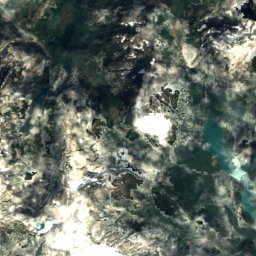
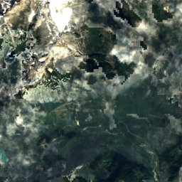
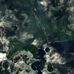
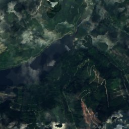
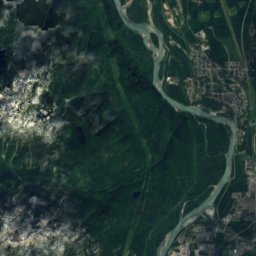
Satellite: Sentinel-2 cloudless 2016 by EOX IT Services GmbH · CC BY 4.0 · Contains modified Copernicus Sentinel data 2016
Satellite: Sentinel-2 cloudless 2016 by EOX IT Services GmbH · CC BY 4.0 · Contains modified Copernicus Sentinel data 2016
Satellite: Sentinel-2 cloudless 2016 by EOX IT Services GmbH · CC BY 4.0 · Contains modified Copernicus Sentinel data 2016
Stay nearby
Towns close by

Photo: The original uploader was Damieng at English Wikipedia. · CC BY-SA 3.0 · Wikimedia CommonsReport this photo · linked, not stored
Squamish
British Columbia · 12 km SE
14°Oct high
19wet days
37score


Around here
Squamish and around
Photo: The original uploader was Damieng at English Wikipedia. · CC BY-SA 3.0 · Wikimedia CommonsReport this photo · linked, not stored
Squamish
British Columbia · Canada
Jul–Sepbest months
24°July high
5 maltitude
Nature


Mountains
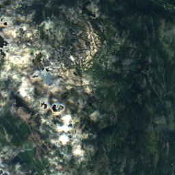
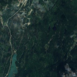
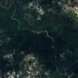
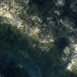
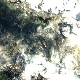
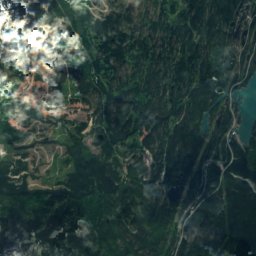
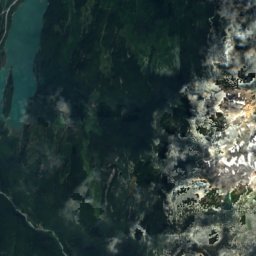
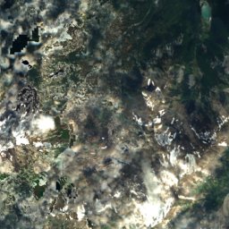
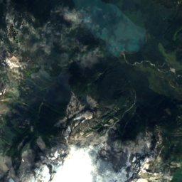
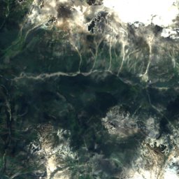
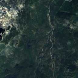
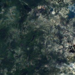
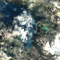
Satellite: Sentinel-2 cloudless 2016 by EOX IT Services GmbH · CC BY 4.0 · Contains modified Copernicus Sentinel data 2016
Castle Towers Mountain
2,676 m · Garibaldi Ranges
Heritage

Britannia Mines Concentrator
national historic site of Canada · 1923


