Skip to content
Destinations
Weather & climate
Nature
Outdoors
Culture
Events
Sky & live
Lake Simcoe
Photo: OwenX · CC BY-SA 4.0 · Wikimedia Commons
Lake SimcoeReport this photo · linked, not stored
Thorah Island
Photo: P199 · CC BY-SA 3.0 · Wikimedia Commons
Thorah IslandReport this photo · linked, not stored
Thorah Island
LakeSutton, Ontario

Lake Simcoe

Lake219 m elevationBest May · Aug–Sep
Elevation219 mabove sea level
Area725 km²surface
Nearest townSutton15 km
44.44° N, 79.34° WElevation 219 mUTC−4 · Eastern Daylight Time
When to goSutton · weather score
JanFebMarAprMayJunJulAugSepOctNovDec44October
Best timeMay · Aug–Sep
October: high / low13° / 5°
Lake

Lake Simcoe in brief

Lake Simcoe is a lake in Sutton, Ontario, Canada.

It lies at 219 m above sea level and covers about 725 km².

The nearest town in the atlas is Sutton, 15 km to the S, where the weather is best in May, August and September.

Sutton: weather and travel guide

Weather nearby now

Forecast for Sutton
12°
Sunny now
Wind7 km/h
Humidity80%
Cloud cover5%
Today
22 Oct
16°
4°
Fri
23 Oct
12°
2°
Sat
24 Oct
13°
2°
Sun
25 Oct
16°
3°
Mon
26 Oct
13°
6°
1 mm

Model run 00:00 UTCRefreshed several times a day

The lake's water

Surface, average depth and volume of the lake, and the length of its shore.
Surface725 km²
Average depth13 m
Volume10.3 km³
Shoreline393 km
average depth 13 msurface at 219 m
When to go

The best months around Lake Simcoe

Climate of Sutton

Month score in Sutton

Comfort, dry days and sunshine · out of 100
26
Jan
34
Feb
34
Mar
34
Apr
78
May
72
Jun
71
Jul
74
Aug
74
Sep
44
Oct
26
Nov
22
Dec
Map

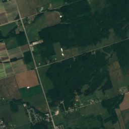
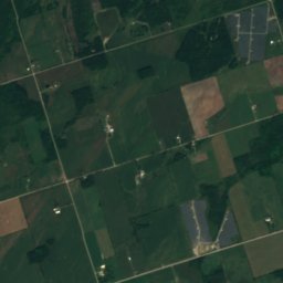
Lake Simcoe from above

Nature nearbyAll of Canada
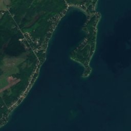
Satellite: Sentinel-2 cloudless 2016 by EOX IT Services GmbH · CC BY 4.0 · Contains modified Copernicus Sentinel data 2016
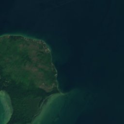
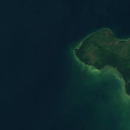
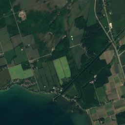
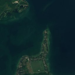
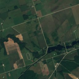
White Shoal, OntarioIsland3.5 kmNEWhite Shoal, Ontario
Satellite: Sentinel-2 cloudless 2016 by EOX IT Services GmbH · CC BY 4.0 · Contains modified Copernicus Sentinel data 2016

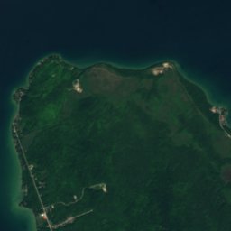
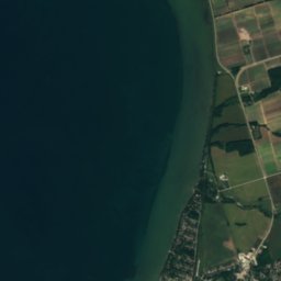
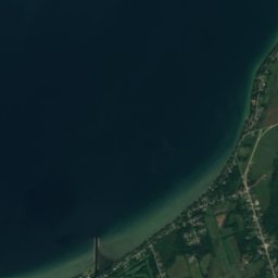
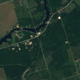
Big Shoal, BeavertonIsland7.1 kmSEBig Shoal, Beaverton
Satellite: Sentinel-2 cloudless 2016 by EOX IT Services GmbH · CC BY 4.0 · Contains modified Copernicus Sentinel data 2016

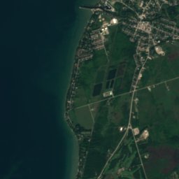
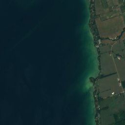
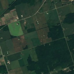
Woodman ShoalIsland7.1 kmEWoodman Shoal
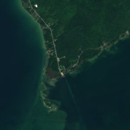
Satellite: Sentinel-2 cloudless 2016 by EOX IT Services GmbH · CC BY 4.0 · Contains modified Copernicus Sentinel data 2016

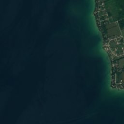
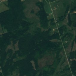
Georgina IslandIsland7.6 kmSEGeorgina Island
Photo: P199 · CC BY-SA 3.0 · Wikimedia CommonsReport this photo · linked, not stored
Thorah IslandIsland9.1 kmEThorah Island
Satellite: Sentinel-2 cloudless 2016 by EOX IT Services GmbH · CC BY 4.0 · Contains modified Copernicus Sentinel data 2016

Centre ShoalIsland9.8 kmECentre Shoal
Stay nearby

Towns close by

Sutton
Photo: P199 · CC BY-SA 3.0 · Wikimedia CommonsReport this photo · linked, not stored

Sutton

Ontario · 15 km S
13°Oct high
11wet days
44score
Sutton
Beaverton
Photo: Dillan Payne · CC BY-SA 4.0 · Wikimedia CommonsReport this photo · linked, not stored

Beaverton

Ontario · 15 km E
13°Oct high
11wet days
42score
Beaverton
Orillia
Photo: I, Padraic Ryan · CC BY-SA 3.0 · Wikimedia CommonsReport this photo · linked, not stored

Orillia

Ontario · 20 km N
13°Oct high
8wet days
48score
Orillia
Barrie
Photo: self-made · Public domain · Wikimedia CommonsReport this photo · linked, not stored

Barrie

Ontario · 26 km W
13°Oct high
11wet days
43score
Barrie
Around here

Sutton and around

Sutton
Photo: P199 · CC BY-SA 3.0 · Wikimedia CommonsReport this photo · linked, not stored

Sutton

Ontario · Canada
May · Aug–Sepbest months
26°July high
228 maltitude
Sutton

Nature

Black River (York Region)
Photo: zedkay · CC BY 2.0 · Wikimedia CommonsReport this photo · linked, not stored
3.1 km NE

Black River (York Region)

River · 219 m
Black River (York Region)
Holland River
Photo: Mhsheikholeslami · CC BY-SA 4.0 · Wikimedia CommonsReport this photo · linked, not stored
16 km SW

Holland River

River
Holland River
Satellite: Sentinel-2 cloudless 2016 by EOX IT Services GmbH · CC BY 4.0 · Contains modified Copernicus Sentinel data 2016

25 km NE

Talbot River

River
Talbot River

Heritage

The Briars
Photo: Oaktree b · CC BY-SA 3.0 · Wikimedia CommonsReport this photo · linked, not stored
2.1 km NE

The Briars

Ontario Heritage Trust easement
The Briars
St. George's Anglican Church, Sutton
Photo: OwenX · CC BY-SA 4.0 · Wikimedia CommonsReport this photo · linked, not stored
4.6 km NE

St. George's Anglican Church, Sutton

designated heritage property (part IV) · 1877
St. George's Anglican Church, Sutton

Museums

Georgina Pioneer Village
Photo: Oaktree b · CC BY-SA 4.0 · Wikimedia CommonsReport this photo · linked, not stored
4.6 km W

Georgina Pioneer Village

Open-air museum · 1875
Georgina Pioneer Village