


















Skip to content
Destinations
Weather & climate
Nature
Outdoors
Culture
Events
Sky & live
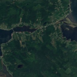
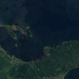
Satellite: Sentinel-2 cloudless 2016 by EOX IT Services GmbH · CC BY 4.0 · Contains modified Copernicus Sentinel data 2016
IslandKingsburg, Nova Scotia

Hell Reef

IslandBest Jul–Sep
Elevation–above sea level
Area–surface
Nearest townKingsburg2.4 km
44.26° N, 64.25° WUTC−3 · Atlantic Daylight Time
When to goKingsburg · weather score
JanFebMarAprMayJunJulAugSepOctNovDec41October
Best timeJul–Sep
October: high / low13° / 9°
Island

Hell Reef in brief

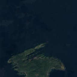
Hell Reef is an island in Kingsburg, Nova Scotia, Canada.

The nearest town is Kingsburg, 2.4 km to the NW, where the weather is best in July, August and September.

Kingsburg: weather and travel guide

Weather nearby now

Forecast for Kingsburg
8°
Cloudy now
Wind48 km/h
Humidity76%
Cloud cover81%
Today
23 Oct
9°
6°
3 mm
Sat
24 Oct
10°
6°
Sun
25 Oct
13°
6°
Mon
26 Oct
13°
8°
1 mm
Tue
27 Oct
11°
5°

Model run 12:00 UTCRefreshed several times a day

When to go

The best months around Hell Reef

Climate of Kingsburg

Month score in Kingsburg

Comfort, dry days and sunshine · out of 100
19
Jan
23
Feb
18
Mar
20
Apr
25
May
47
Jun
61
Jul
65
Aug
69
Sep
41
Oct
21
Nov
16
Dec
Map

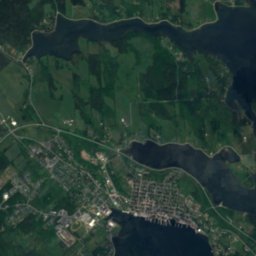
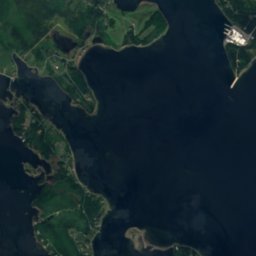
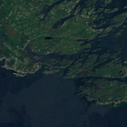
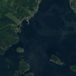
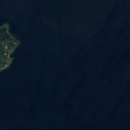
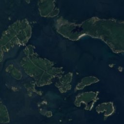
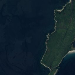
Hell Reef from above

Nature nearbyAll of Canada
Satellite: Sentinel-2 cloudless 2016 by EOX IT Services GmbH · CC BY 4.0 · Contains modified Copernicus Sentinel data 2016
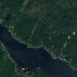
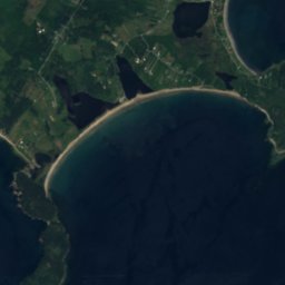
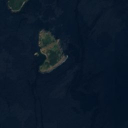
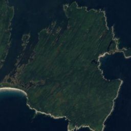
Pollock Shoal, KingsburgIsland1.3 kmSPollock Shoal, Kingsburg
Satellite: Sentinel-2 cloudless 2016 by EOX IT Services GmbH · CC BY 4.0 · Contains modified Copernicus Sentinel data 2016
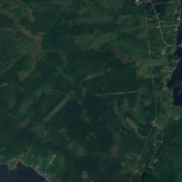
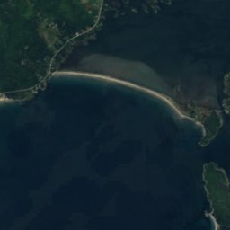
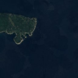
Kingsburg BeachBeach1.6 kmNWKingsburg Beach
Satellite: Sentinel-2 cloudless 2016 by EOX IT Services GmbH · CC BY 4.0 · Contains modified Copernicus Sentinel data 2016
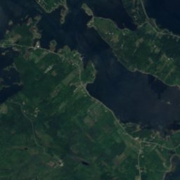
Hirtle's BeachBeach1.9 kmWHirtle's Beach
Satellite: Sentinel-2 cloudless 2016 by EOX IT Services GmbH · CC BY 4.0 · Contains modified Copernicus Sentinel data 2016
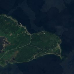
Graveyard RocksIsland2.1 kmNGraveyard Rocks
Satellite: Sentinel-2 cloudless 2016 by EOX IT Services GmbH · CC BY 4.0 · Contains modified Copernicus Sentinel data 2016
Shag Rock, KingsburgIsland2.7 kmSWShag Rock, Kingsburg
Satellite: Sentinel-2 cloudless 2016 by EOX IT Services GmbH · CC BY 4.0 · Contains modified Copernicus Sentinel data 2016
West Ironbound IslandIsland3.5 kmSWWest Ironbound Island
Stay nearby

Towns close by

Kingsburg
Photo: SMUBull · CC BY-SA 3.0 · Wikimedia CommonsReport this photo · linked, not stored

Kingsburg

Nova Scotia · 2.4 km NW
13°Oct high
13wet days
41score
Kingsburg
Rose Bay
Photo: SMUBull · CC BY-SA 3.0 · Wikimedia CommonsReport this photo · linked, not stored

Rose Bay

Nova Scotia · 6.2 km NW
13°Oct high
13wet days
41score
Rose Bay
Riverport
Photo: SMUBull · CC BY-SA 3.0 · Wikimedia CommonsReport this photo · linked, not stored

Riverport

Nova Scotia · 7.1 km NW
13°Oct high
13wet days
41score
Riverport
Bayport
Photo: SMUBull · CC BY-SA 3.0 · Wikimedia CommonsReport this photo · linked, not stored

Bayport

Nova Scotia · 8.5 km NW
13°Oct high
13wet days
41score
Bayport
Around here

Kingsburg and around

Kingsburg
Photo: SMUBull · CC BY-SA 3.0 · Wikimedia CommonsReport this photo · linked, not stored

Kingsburg

Nova Scotia · Canada
Jul–Sepbest months
19°July high
10 maltitude
Kingsburg

Nature

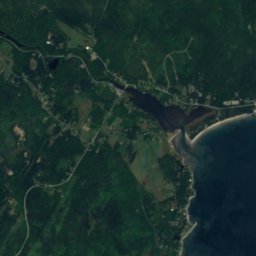
LaHave River
Photo: SMUBull · CC BY-SA 3.0 · Wikimedia CommonsReport this photo · linked, not stored
7.0 km W

LaHave River

River
LaHave River
Satellite: Sentinel-2 cloudless 2016 by EOX IT Services GmbH · CC BY 4.0 · Contains modified Copernicus Sentinel data 2016
4.7 km W

Rhynardt Lake

Lake
Rhynardt Lake
Satellite: Sentinel-2 cloudless 2016 by EOX IT Services GmbH · CC BY 4.0 · Contains modified Copernicus Sentinel data 2016
10 km NW

Hartmans Lake

Lake
Hartmans Lake

Heritage

St. Andrew's Presbyterian Church, Lunenburg
Photo: giggel · CC BY 3.0 · Wikimedia CommonsReport this photo · linked, not stored
12 km N

St. Andrew's Presbyterian Church, Lunenburg

Municipally Registered Property · 1828
St. Andrew's Presbyterian Church, Lunenburg
Lunenburg Academy
Photo: Taxiarchos228 · CC BY-SA 3.0 · Wikimedia CommonsReport this photo · linked, not stored
12 km N

Lunenburg Academy

national historic site of Canada
Lunenburg Academy
Knaut-Rhuland House
Photo: Skeezix1000 · CC BY-SA 3.0 · Wikimedia CommonsReport this photo · linked, not stored
12 km N

Knaut-Rhuland House

national historic site of Canada · 1793
Knaut-Rhuland House

Museums

Fisheries Museum of the Atlantic
Photo: Vanbasten 23 · CC BY-SA 4.0 · Wikimedia CommonsReport this photo · linked, not stored
12 km N

Fisheries Museum of the Atlantic

1967
Fisheries Museum of the Atlantic
LaHave Islands Marine Museum
Photo: Fralambert · CC BY-SA 4.0 · Wikimedia CommonsReport this photo · linked, not stored
9.6 km SW

LaHave Islands Marine Museum

1913
LaHave Islands Marine Museum