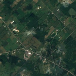
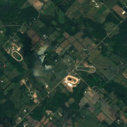
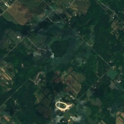
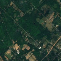
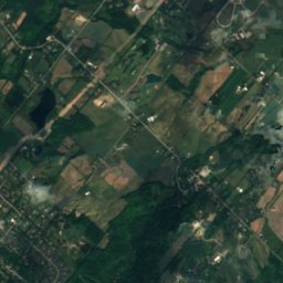
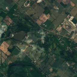
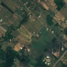
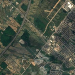
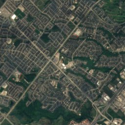
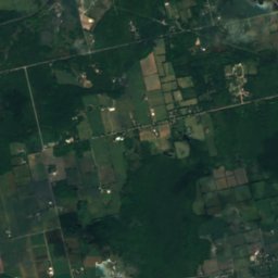
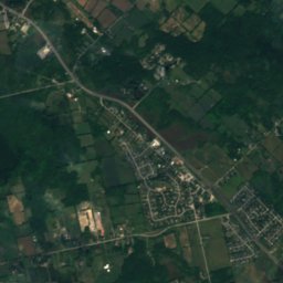
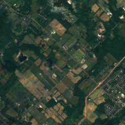
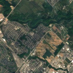
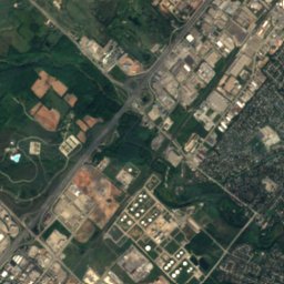
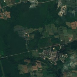
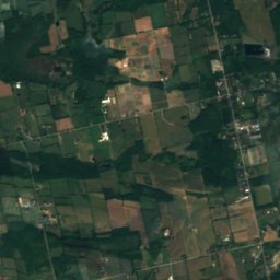
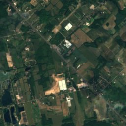
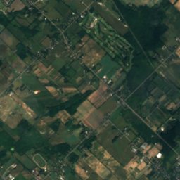
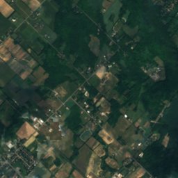
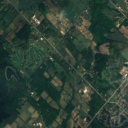
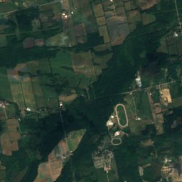
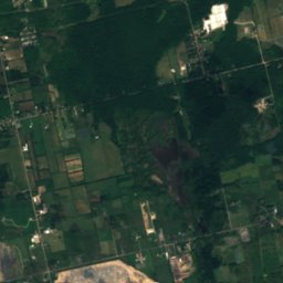
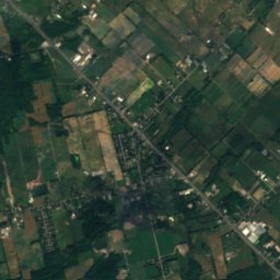
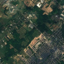
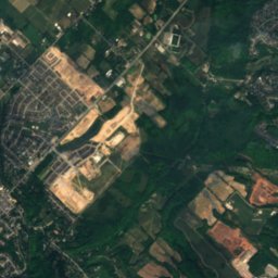
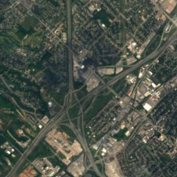
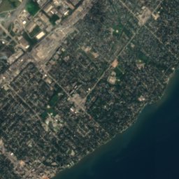
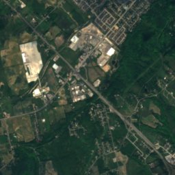
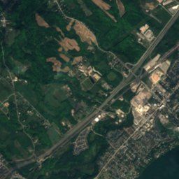
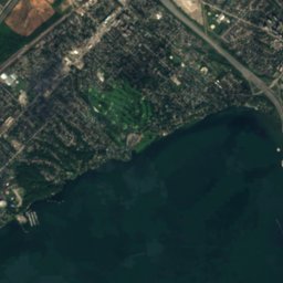

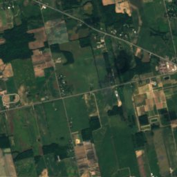
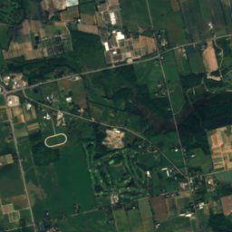
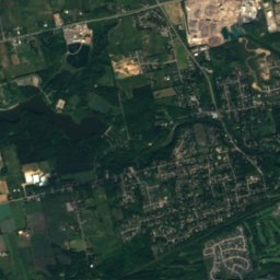
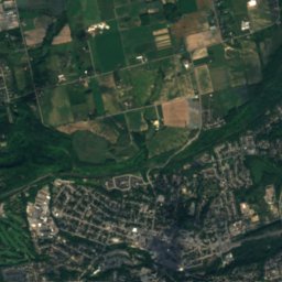
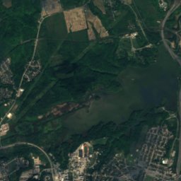
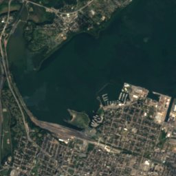
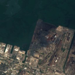
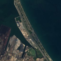

Satellite: Sentinel-2 cloudless 2016 by EOX IT Services GmbH · CC BY 4.0 · Contains modified Copernicus Sentinel data 2016

Photo: Laslovarga · CC BY-SA 2.5 · Wikimedia Commons
Great Falls, OntarioReport this photo · linked, not stored
Great Falls, OntarioGreat Falls, OntarioReport this photo · linked, not stored

Photo: Sasha0122 · CC BY-SA 4.0 · Wikimedia Commons
Cockpit IslandReport this photo · linked, not stored
Cockpit IslandCockpit IslandReport this photo · linked, not stored
WaterfallAldershot, Ontario
Grindstone Cascade
WaterfallBest May–Jun · Sep
Elevation–above sea level
Height–of the falls
Nearest townAldershot4.3 km
43.33° N, 79.89° WUTC−4 · Eastern Daylight Time
When to goAldershot · weather score
Best timeMay–Jun · Sep
October: high / low16° / 6°
Waterfall
Grindstone Cascade in brief
Grindstone Cascade is a waterfall in Aldershot, Ontario, Canada — waterfall.
The nearest town in the atlas is Aldershot, 4.3 km to the SE, where the weather is best in May, June and September.
Weather nearby now
Forecast for Aldershot12°
Sunny now
Today
22 Oct
18°
3°
Fri
23 Oct
14°
7°
Sat
24 Oct
13°
6°
Sun
25 Oct
18°
5°
Mon
26 Oct
17°
7°
Model run 00:00 UTCRefreshed several times a day
When to go
Climate of AldershotThe best months around Grindstone Cascade
Month score in Aldershot
Comfort, dry days and sunshine · out of 10015
Jan
26
Feb
26
Mar
46
Apr
68
May
60
Jun
51
Jul
56
Aug
73
Sep
52
Oct
18
Nov
15
Dec
Map
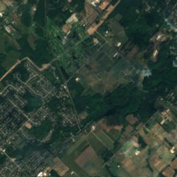
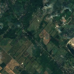
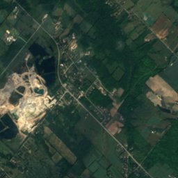
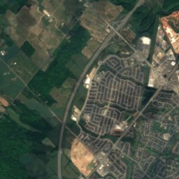
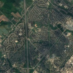
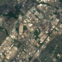
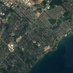
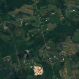
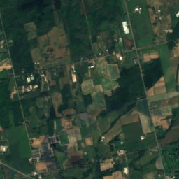
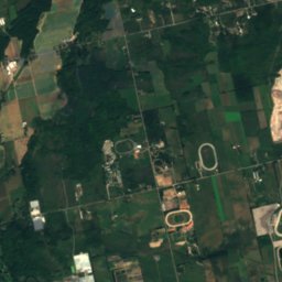
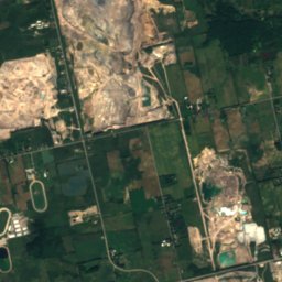
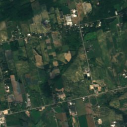
Grindstone Cascade from above
Nature nearbyAll of Canada

Satellite: Sentinel-2 cloudless 2016 by EOX IT Services GmbH · CC BY 4.0 · Contains modified Copernicus Sentinel data 2016
Satellite: Sentinel-2 cloudless 2016 by EOX IT Services GmbH · CC BY 4.0 · Contains modified Copernicus Sentinel data 2016
Satellite: Sentinel-2 cloudless 2016 by EOX IT Services GmbH · CC BY 4.0 · Contains modified Copernicus Sentinel data 2016
Satellite: Sentinel-2 cloudless 2016 by EOX IT Services GmbH · CC BY 4.0 · Contains modified Copernicus Sentinel data 2016

Stay nearby
Towns close by

Photo: Perry Quan from Oakville, Canada · CC BY-SA 2.0 · Wikimedia CommonsReport this photo · linked, not stored
Aldershot
Ontario · 4.3 km SE
16°Oct high
16wet days
52score


Photo: Nhl4hamilton (Rick Cordeiro) · Public domain · Wikimedia CommonsReport this photo · linked, not stored
Hamilton
Ontario · 9.2 km S
16°Oct high
16wet days
53score
Around here
Aldershot and around
Photo: Perry Quan from Oakville, Canada · CC BY-SA 2.0 · Wikimedia CommonsReport this photo · linked, not stored
Aldershot
Ontario · Canada
May–Jun · Sepbest months
29°July high
96 maltitude
Nature

Photo: paul (dex) bica from toronto, canada · CC BY 2.0 · Wikimedia CommonsReport this photo · linked, not stored
Websters Falls
Waterfall

Spencer Gorge/Webster's Falls Conservation Area
Waterfall
Heritage

Photo: M. I. Pirie / Mpirie at en.wikipedia · Attribution · Wikimedia CommonsReport this photo · linked, not stored
Christ's Church Cathedral
designated heritage property (part IV) · 1873

Photo: Graeme MacKay from Hamilton, Ontario, Canada · CC BY 2.0 · Wikimedia CommonsReport this photo · linked, not stored
St. Paul's Presbyterian Church, Hamilton
national historic site of Canada · 1857


