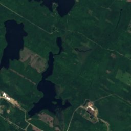
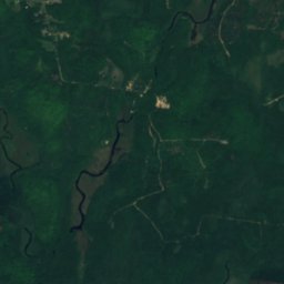
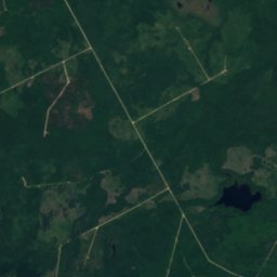
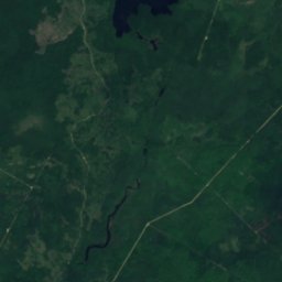
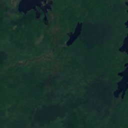
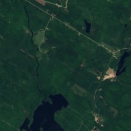
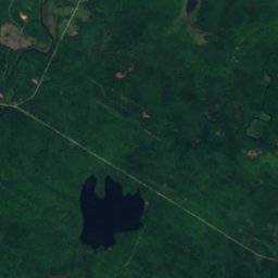
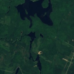
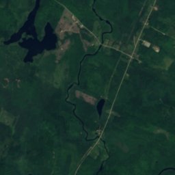
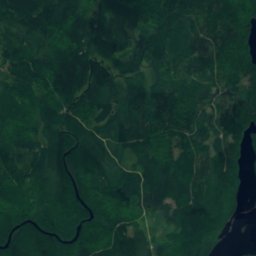
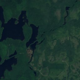
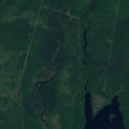
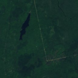
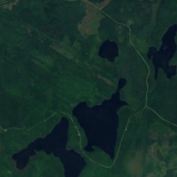
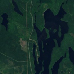
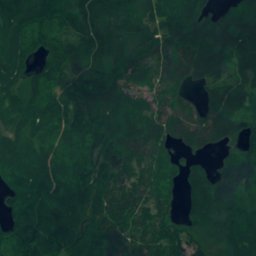
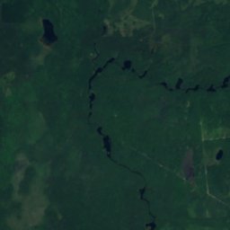
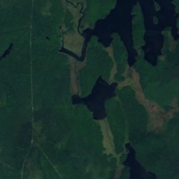
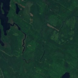
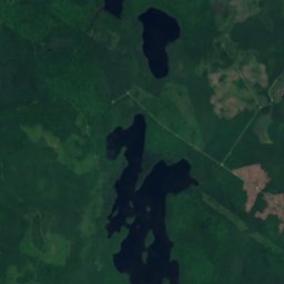
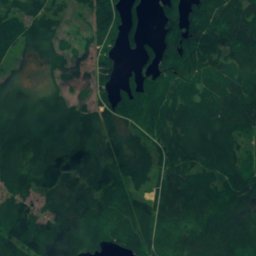
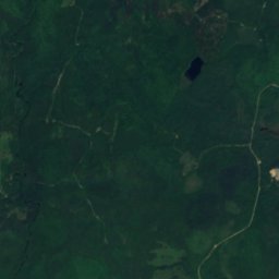
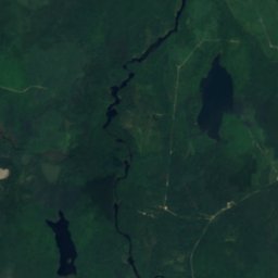
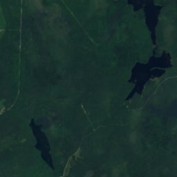
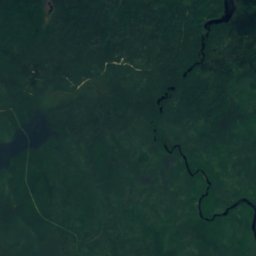
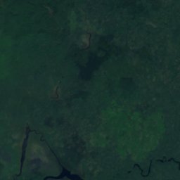
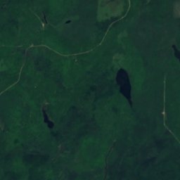
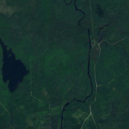
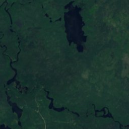
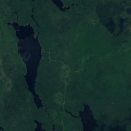
Satellite: Sentinel-2 cloudless 2016 by EOX IT Services GmbH · CC BY 4.0 · Contains modified Copernicus Sentinel data 2016
WaterfallLittle Brook, Nova Scotia
Flat Falls
WaterfallBest Jul–Sep
Elevation–above sea level
Height–of the falls
Nearest townLittle Brook25 km
44.20° N, 65.84° WUTC−3 · Atlantic Daylight Time
When to goLittle Brook · weather score
Best timeJul–Sep
October: high / low14° / 6°
Waterfall
Flat Falls in brief
Flat Falls is a waterfall in Little Brook, Nova Scotia, Canada.
The nearest town is Little Brook, 25 km to the NW, where the weather is best in July, August and September.
Weather nearby now
Forecast for Little Brook13°
Cloudy now
Today
30 Oct
17°
9°
1 mm
Sat
31 Oct
11°
2°
Sun
1 Nov
9°
0°
Mon
2 Nov
14°
4°
Tue
3 Nov
11°
0°
1 mm
Model run 12:00 UTCRefreshed several times a day
When to go
Climate of Little BrookThe best months around Flat Falls
Month score in Little Brook
Comfort, dry days and sunshine · out of 10013
Jan
15
Feb
18
Mar
19
Apr
55
May
64
Jun
65
Jul
68
Aug
70
Sep
41
Oct
17
Nov
14
Dec
Map
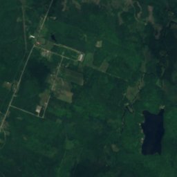
Flat Falls from above
Nature nearbyAll of Canada
Satellite: Sentinel-2 cloudless 2016 by EOX IT Services GmbH · CC BY 4.0 · Contains modified Copernicus Sentinel data 2016
Satellite: Sentinel-2 cloudless 2016 by EOX IT Services GmbH · CC BY 4.0 · Contains modified Copernicus Sentinel data 2016
Satellite: Sentinel-2 cloudless 2016 by EOX IT Services GmbH · CC BY 4.0 · Contains modified Copernicus Sentinel data 2016
Satellite: Sentinel-2 cloudless 2016 by EOX IT Services GmbH · CC BY 4.0 · Contains modified Copernicus Sentinel data 2016
Satellite: Sentinel-2 cloudless 2016 by EOX IT Services GmbH · CC BY 4.0 · Contains modified Copernicus Sentinel data 2016
Satellite: Sentinel-2 cloudless 2016 by EOX IT Services GmbH · CC BY 4.0 · Contains modified Copernicus Sentinel data 2016
Summits nearbyMountains of Canada
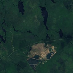
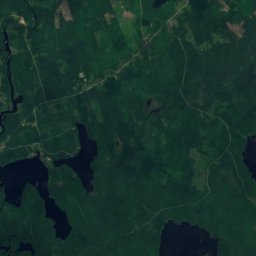
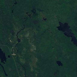
Satellite: Sentinel-2 cloudless 2016 by EOX IT Services GmbH · CC BY 4.0 · Contains modified Copernicus Sentinel data 2016
Around here
Little Brook and around

Nature

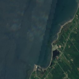
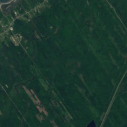
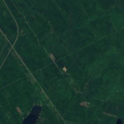
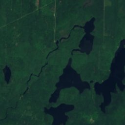

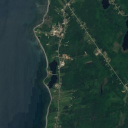
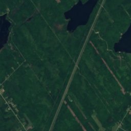
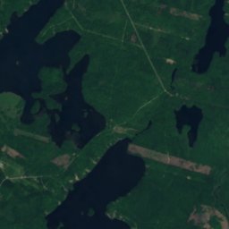
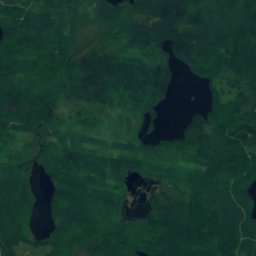

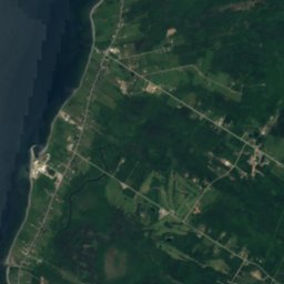
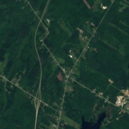
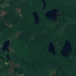
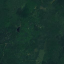
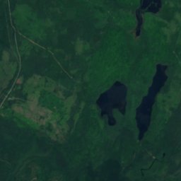
Satellite: Sentinel-2 cloudless 2016 by EOX IT Services GmbH · CC BY 4.0 · Contains modified Copernicus Sentinel data 2016
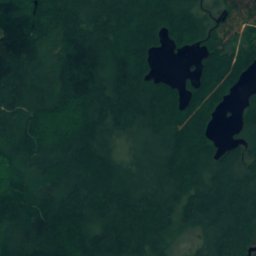
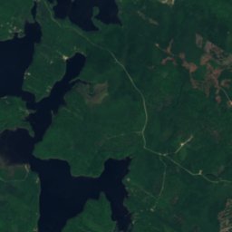
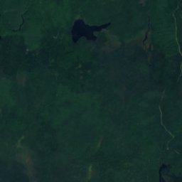
Henriette Lake, Nova Scotia
Lake · 54 m
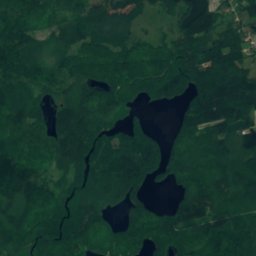
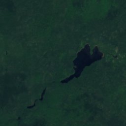
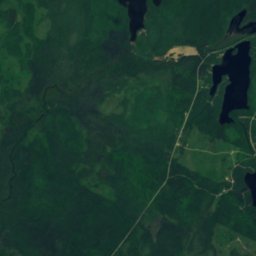
Satellite: Sentinel-2 cloudless 2016 by EOX IT Services GmbH · CC BY 4.0 · Contains modified Copernicus Sentinel data 2016
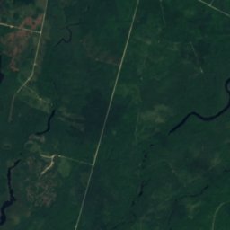
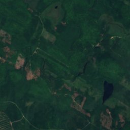
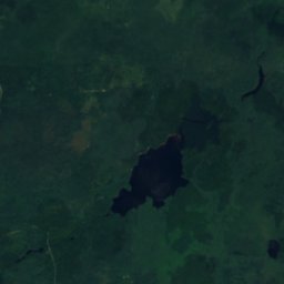
Belliveau Lake, Nova Scotia
Lake · 52 m
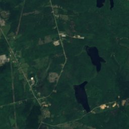
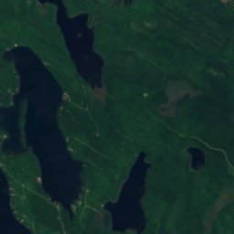
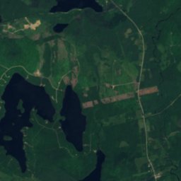
Satellite: Sentinel-2 cloudless 2016 by EOX IT Services GmbH · CC BY 4.0 · Contains modified Copernicus Sentinel data 2016
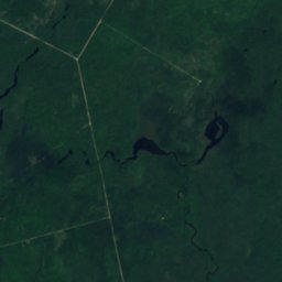
Lac à Victor
Lake · 54 m


