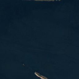

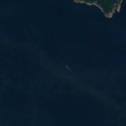
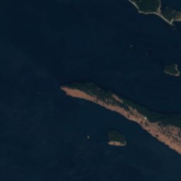
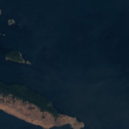

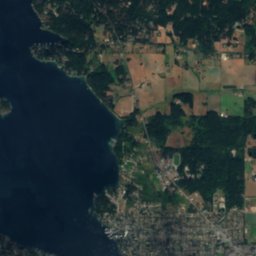
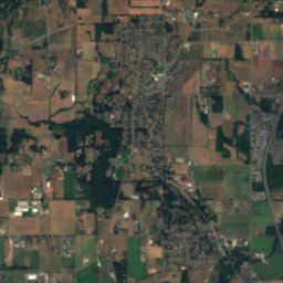
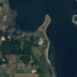
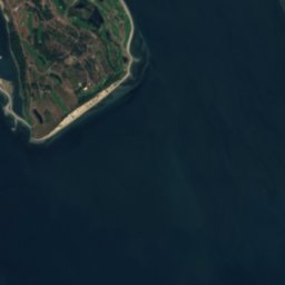

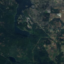
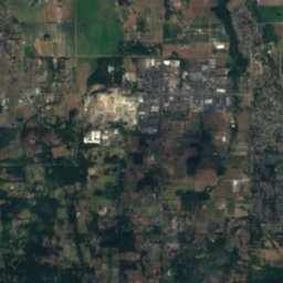
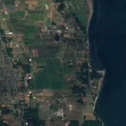

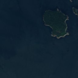
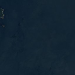

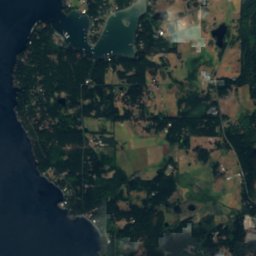



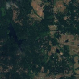
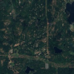
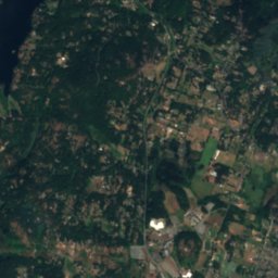
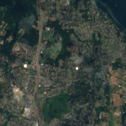


Satellite: Sentinel-2 cloudless 2016 by EOX IT Services GmbH · CC BY 4.0 · Contains modified Copernicus Sentinel data 2016

Photo: Guillaumefg · CC BY-SA 4.0 · Wikimedia Commons
Mount FinlaysonReport this photo · linked, not stored
Mount FinlaysonMount FinlaysonReport this photo · linked, not stored
IslandSaanich, British Columbia
Fairway Patch
IslandBest Jul–Sep
Elevation–above sea level
Area–surface
Nearest townSaanich6.1 km
48.55° N, 123.29° WUTC−7 · Pacific Daylight Time
When to goSaanich · weather score
Best timeJul–Sep
October: high / low15° / 7°
Island
Fairway Patch in brief
Fairway Patch is an island in Saanich, British Columbia, Canada.
The nearest town is Saanich, 6.1 km to the W, where the weather is best in July, August and September.
Weather nearby now
Forecast for Saanich11°
Sunny now
Today
23 Oct
14°
6°
Sat
24 Oct
13°
7°
5 mm
Sun
25 Oct
15°
7°
9 mm
Mon
26 Oct
15°
8°
Tue
27 Oct
14°
7°
Model run 12:00 UTCRefreshed several times a day
Map
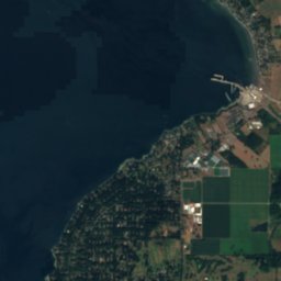
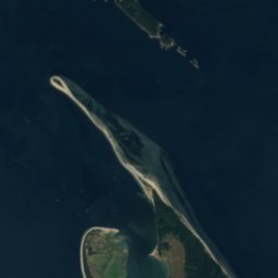
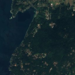
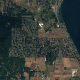
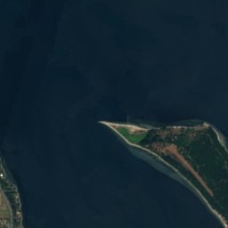
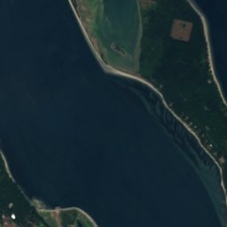
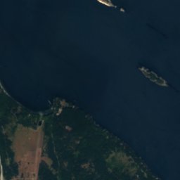
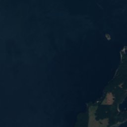
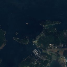
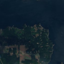
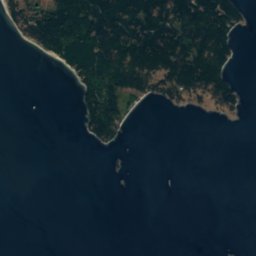
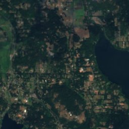
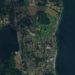
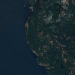
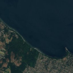
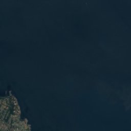
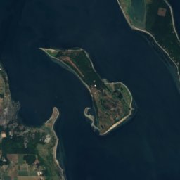
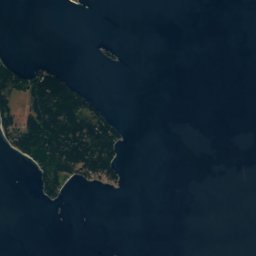
Fairway Patch from above
Nature nearbyAll of Canada
Satellite: Sentinel-2 cloudless 2016 by EOX IT Services GmbH · CC BY 4.0 · Contains modified Copernicus Sentinel data 2016
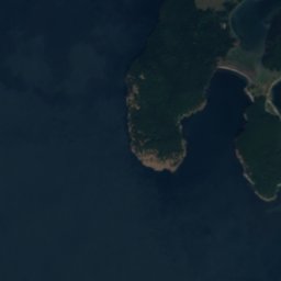
Satellite: Sentinel-2 cloudless 2016 by EOX IT Services GmbH · CC BY 4.0 · Contains modified Copernicus Sentinel data 2016
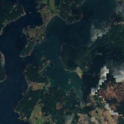
Satellite: Sentinel-2 cloudless 2016 by EOX IT Services GmbH · CC BY 4.0 · Contains modified Copernicus Sentinel data 2016
Satellite: Sentinel-2 cloudless 2016 by EOX IT Services GmbH · CC BY 4.0 · Contains modified Copernicus Sentinel data 2016
Satellite: Sentinel-2 cloudless 2016 by EOX IT Services GmbH · CC BY 4.0 · Contains modified Copernicus Sentinel data 2016
Summits nearbyMountains of Canada
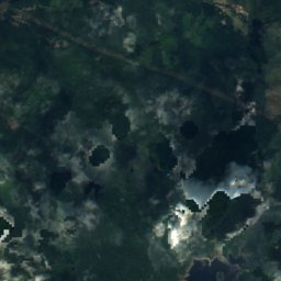
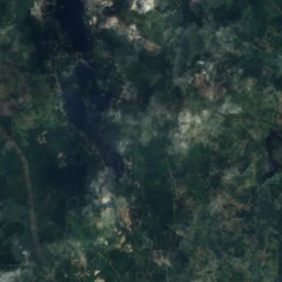
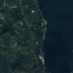
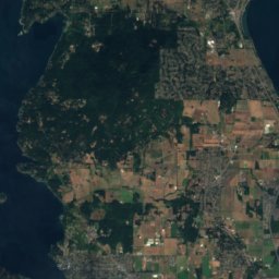
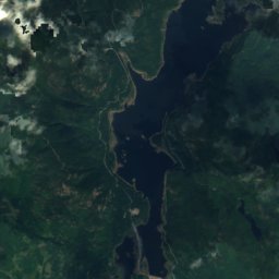
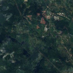
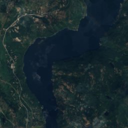
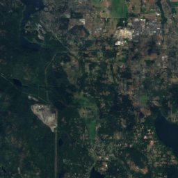
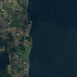
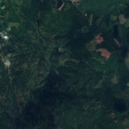
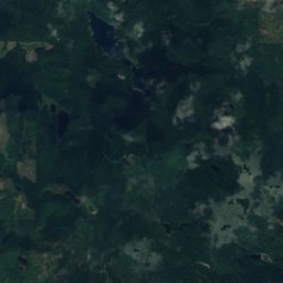
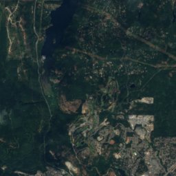
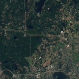
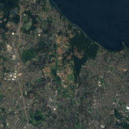
Satellite: Sentinel-2 cloudless 2016 by EOX IT Services GmbH · CC BY 4.0 · Contains modified Copernicus Sentinel data 2016

Stay nearby
Towns close by

Photo: Eminoro & Simon Villeneuve · CC BY-SA 3.0 · Wikimedia CommonsReport this photo · linked, not stored
Saanich
British Columbia · 6.1 km W
15°Oct high
17wet days
45score
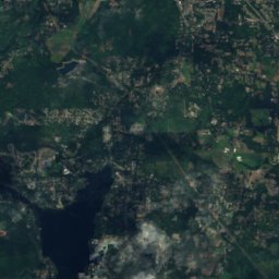
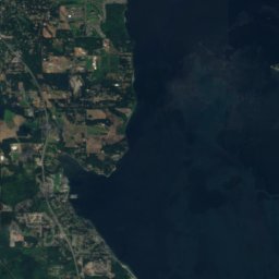
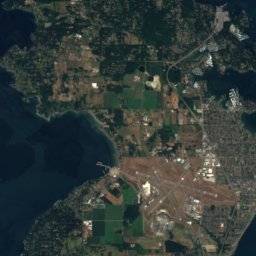
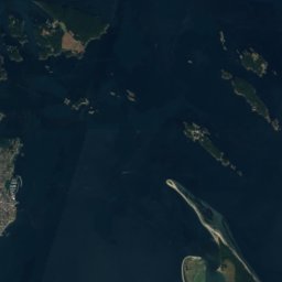
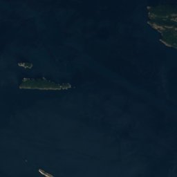
Satellite: Sentinel-2 cloudless 2016 by EOX IT Services GmbH · CC BY 4.0 · Contains modified Copernicus Sentinel data 2016
Keating
British Columbia · 8.6 km W
15°Oct high
17wet days
46score

Photo: Ken Walker kgw@lunar.ca · CC BY 2.5 · Wikimedia CommonsReport this photo · linked, not stored
Central Saanich
British Columbia · 10 km W
15°Oct high
17wet days
46score

Photo: Brandon Godfrey from Victoria B.C, Canada · CC BY-SA 2.0 · Wikimedia CommonsReport this photo · linked, not stored
Saanichton
British Columbia · 11 km NW
15°Oct high
17wet days
46score
Around here
Saanich and around
Photo: Eminoro & Simon Villeneuve · CC BY-SA 3.0 · Wikimedia CommonsReport this photo · linked, not stored
Saanich
British Columbia · Canada
Jul–Sepbest months
24°July high
19 maltitude
Nature

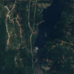
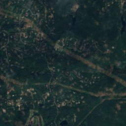
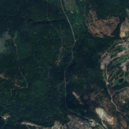
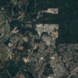
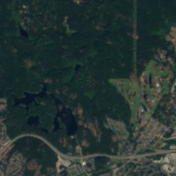
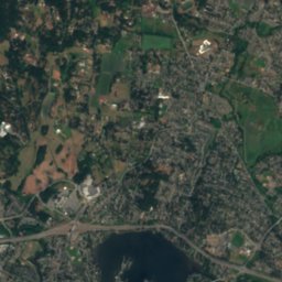
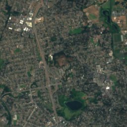
Satellite: Sentinel-2 cloudless 2016 by EOX IT Services GmbH · CC BY 4.0 · Contains modified Copernicus Sentinel data 2016
Maltby Lake, British Columbia
Lake · 64 m

Mountains

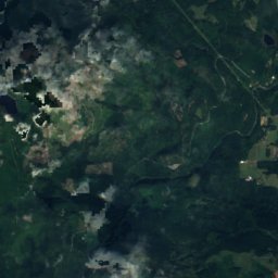
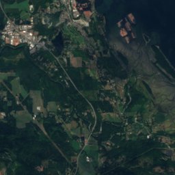
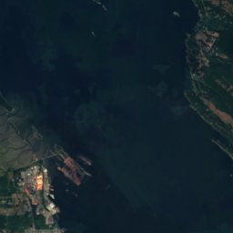
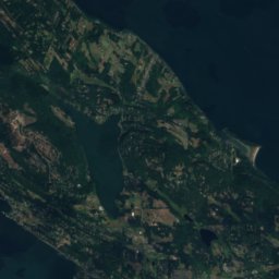
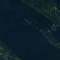
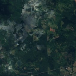
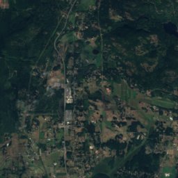
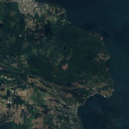
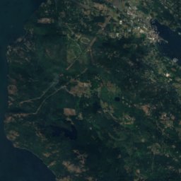
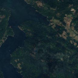
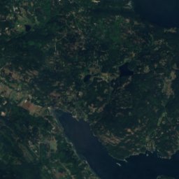
Satellite: Sentinel-2 cloudless 2016 by EOX IT Services GmbH · CC BY 4.0 · Contains modified Copernicus Sentinel data 2016
Maple Mountain (British Columbia)
506 m · Vancouver Island Ranges
Satellite: Sentinel-2 cloudless 2016 by EOX IT Services GmbH · CC BY 4.0 · Contains modified Copernicus Sentinel data 2016
Mount Work
449 m · Gowlland Range
Heritage

British Columbia Parliament Buildings
listed in a community heritage register · 1897

Victoria City Hall, British Columbia
national historic site of Canada · 1890

Photo: Smably at English Wikipedia · Public domain · Wikimedia CommonsReport this photo · linked, not stored
Hatley Park National Historic Site
national historic site of Canada
Museums


Photo: Hans-Jürgen Hübner / Hans-Jürgen Hübner · Public domain · Wikimedia CommonsReport this photo · linked, not stored
Helmcken House
Historic house museum


