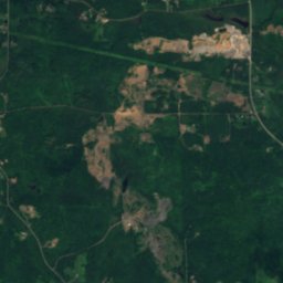
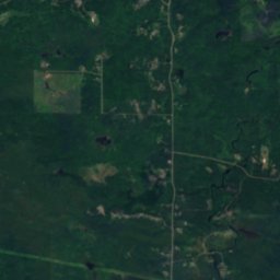
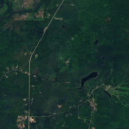
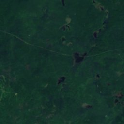
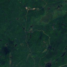
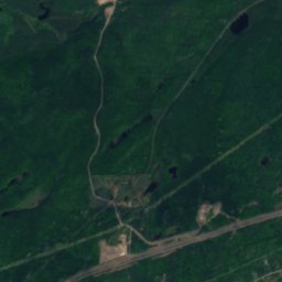
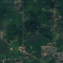


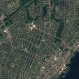
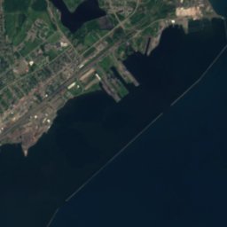




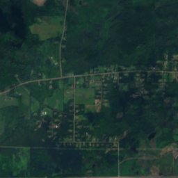
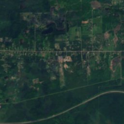
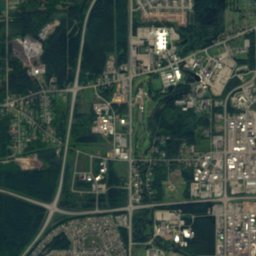
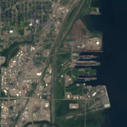





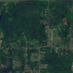
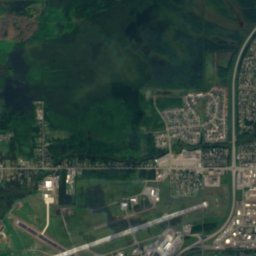
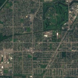
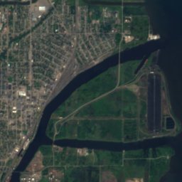





Satellite: Sentinel-2 cloudless 2016 by EOX IT Services GmbH · CC BY 4.0 · Contains modified Copernicus Sentinel data 2016

Photo: outtanowheres.ca · CC BY 3.0 · Wikimedia Commons
Trowbridge FallsReport this photo · linked, not stored
Trowbridge FallsTrowbridge FallsReport this photo · linked, not stored

Photo: User:P199 · CC BY-SA 4.0 · Wikimedia Commons
Kaministiquia RiverReport this photo · linked, not stored
Kaministiquia RiverKaministiquia RiverReport this photo · linked, not stored

Photo: D. Gordon E. Robertson · CC BY-SA 3.0 · Wikimedia Commons
Sleeping GiantReport this photo · linked, not stored
Sleeping GiantSleeping GiantReport this photo · linked, not stored
RiverThunder Bay, Ontario
Current River
River183 m elevationBest Jul–Sep
Elevation183 mabove sea level
Area–surface
Nearest townThunder Bay9.2 km
48.45° N, 89.18° WElevation 183 mUTC−4 · Eastern Daylight Time
When to goThunder Bay · weather score
Best timeJul–Sep
October: high / low10° / 0°
River
Current River in brief
Current River is a river in Thunder Bay, Ontario, Canada.
It lies at 183 m above sea level.
The nearest town is Thunder Bay, 9.2 km to the SW, where the weather is best in July, August and September.
Weather nearby now
Forecast for Thunder Bay6°
Partly cloudy now
Today
25 Oct
13°
0°
Mon
26 Oct
7°
-4°
Tue
27 Oct
7°
-4°
2 mm
Wed
28 Oct
17°
3°
1 mm
Thu
29 Oct
11°
-1°
Model run 00:00 UTCRefreshed several times a day
The course of the river
As mapped in OpenStreetMap, with the towns along its banks.sourcemouth (or where the mapped line leaves the country)
Map
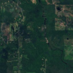
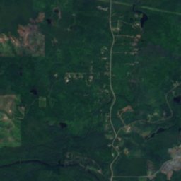
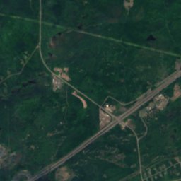
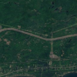
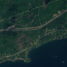
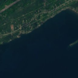
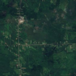
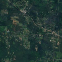
Current River from above
Nature nearbyAll of Canada
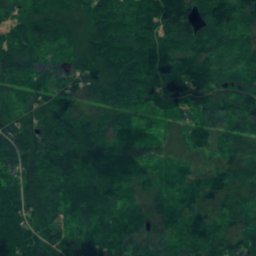
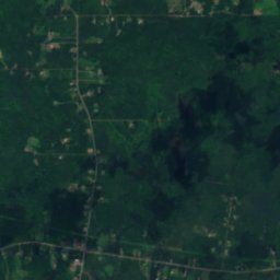
Satellite: Sentinel-2 cloudless 2016 by EOX IT Services GmbH · CC BY 4.0 · Contains modified Copernicus Sentinel data 2016
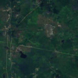
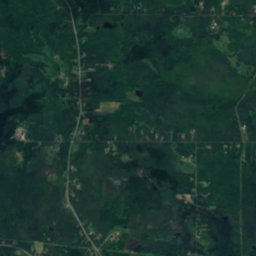
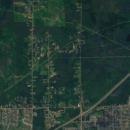
Satellite: Sentinel-2 cloudless 2016 by EOX IT Services GmbH · CC BY 4.0 · Contains modified Copernicus Sentinel data 2016

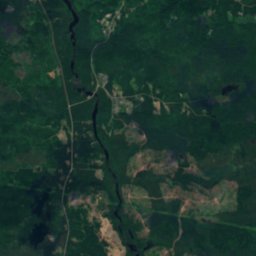
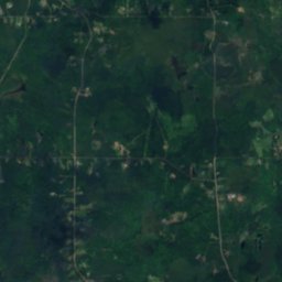
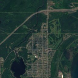
Satellite: Sentinel-2 cloudless 2016 by EOX IT Services GmbH · CC BY 4.0 · Contains modified Copernicus Sentinel data 2016

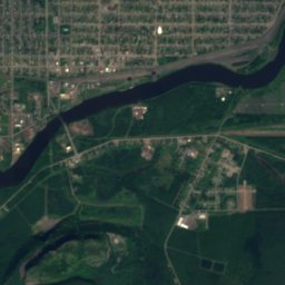
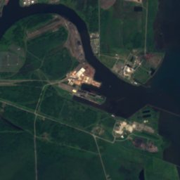

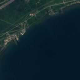
Satellite: Sentinel-2 cloudless 2016 by EOX IT Services GmbH · CC BY 4.0 · Contains modified Copernicus Sentinel data 2016
Summits nearbyMountains of Canada

Photo: D. Gordon E. Robertson · CC BY-SA 3.0 · Wikimedia CommonsReport this photo · linked, not stored
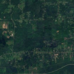
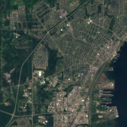
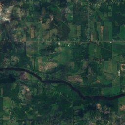
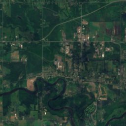
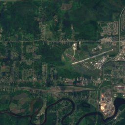
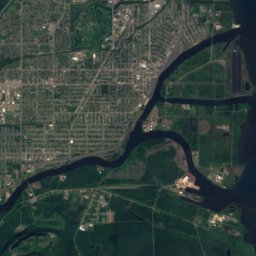
Satellite: Sentinel-2 cloudless 2016 by EOX IT Services GmbH · CC BY 4.0 · Contains modified Copernicus Sentinel data 2016
Stay nearby
Towns close by

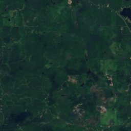
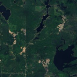
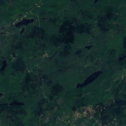
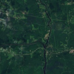
Satellite: Sentinel-2 cloudless 2016 by EOX IT Services GmbH · CC BY 4.0 · Contains modified Copernicus Sentinel data 2016
Lappe
Ontario · 18 km NW
9°Oct high
12wet days
21score

Around here
Thunder Bay and around
Nature
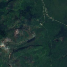
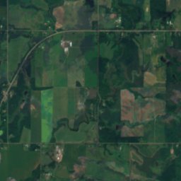
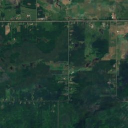
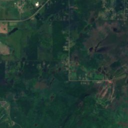
Satellite: Sentinel-2 cloudless 2016 by EOX IT Services GmbH · CC BY 4.0 · Contains modified Copernicus Sentinel data 2016
Sawdust Lake, Thunder Bay
Lake · 318 m
Satellite: Sentinel-2 cloudless 2016 by EOX IT Services GmbH · CC BY 4.0 · Contains modified Copernicus Sentinel data 2016
Boulevard Lake, Ontario
Lake · 208 m
Mountains
Photo: D. Gordon E. Robertson · CC BY-SA 3.0 · Wikimedia CommonsReport this photo · linked, not stored
Sleeping Giant
563 m
Satellite: Sentinel-2 cloudless 2016 by EOX IT Services GmbH · CC BY 4.0 · Contains modified Copernicus Sentinel data 2016
Mount McKay
483 m · Nor'Wester Mountains
Satellite: Sentinel-2 cloudless 2016 by EOX IT Services GmbH · CC BY 4.0 · Contains modified Copernicus Sentinel data 2016
Beaver Mountain, O'Connor
345 m
Heritage


Satellite: Sentinel-2 cloudless 2016 by EOX IT Services GmbH · CC BY 4.0 · Contains modified Copernicus Sentinel data 2016
Port Arthur Collegiate Institute
designated heritage property (part IV) · 1909
Museums



Satellite: Sentinel-2 cloudless 2016 by EOX IT Services GmbH · CC BY 4.0 · Contains modified Copernicus Sentinel data 2016
Thunder Bay Art Gallery
Art museum · 1976

Photo: Cyberodin at English Wikipedia · CC BY-SA 3.0 · Wikimedia CommonsReport this photo · linked, not stored

Fort William Historical Park
Open-air museum · 1973