
Photo: User:Gerald.w · Attribution · Wikimedia Commons
Crypt FallsReport this photo · linked, not stored
Crypt FallsReport this photo · linked, not stored

Photo: LiAnna Davis · CC BY-SA 4.0 · Wikimedia Commons
Mount MerrittReport this photo · linked, not stored
Mount MerrittMount MerrittReport this photo · linked, not stored

Photo: US Geological Survey · Public domain · Wikimedia Commons
Kinnerly PeakReport this photo · linked, not stored
Kinnerly PeakKinnerly PeakReport this photo · linked, not stored

Photo: Glacier NPS · Public domain · Wikimedia Commons
Rainbow PeakReport this photo · linked, not stored
Rainbow PeakRainbow PeakReport this photo · linked, not stored

Photo: Austin Post · Public domain · Wikimedia Commons
Mount Carter (Montana)Report this photo · linked, not stored
Mount Carter (Montana)Mount Carter (Montana)Report this photo · linked, not stored
WaterfallWaterton, Alberta
Crypt Falls
WaterfallBest Jul–Sep
Elevation–above sea level
Height175 mof the falls
Nearest townWaterton7.5 km
49.01° N, 113.84° WUTC−6 · Mountain Daylight Time
When to goWaterton · weather score
Best timeJul–Sep
October: high / low9° / -2°
Waterfall
Crypt Falls in brief
Crypt Falls is a waterfall in Waterton, Alberta, Canada.
It drops 175 m.
The nearest town in the atlas is Waterton, 7.5 km to the NW, where the weather is best in July, August and September.
Weather nearby now
Forecast for Waterton6°
Partly cloudy now
Today
22 Oct
16°
3°
Fri
23 Oct
9°
-3°
7 mm
Sat
24 Oct
7°
-3°
Sun
25 Oct
0°
-5°
Mon
26 Oct
7°
-5°
Model run 00:00 UTCRefreshed several times a day
When to go
Climate of WatertonThe best months around Crypt Falls
Month score in Waterton
Comfort, dry days and sunshine · out of 10037
Jan
34
Feb
32
Mar
32
Apr
49
May
70
Jun
80
Jul
83
Aug
82
Sep
40
Oct
25
Nov
29
Dec
Map
Crypt Falls from above
Nature nearbyAll of Canada
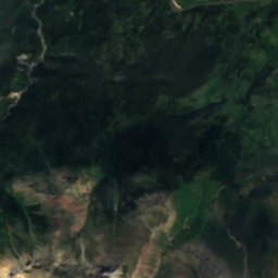
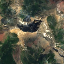
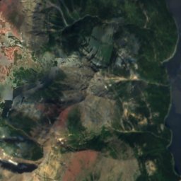
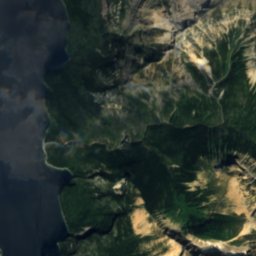
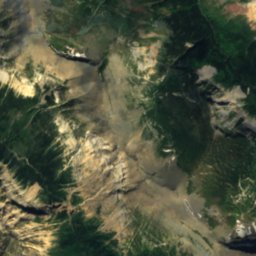
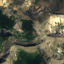
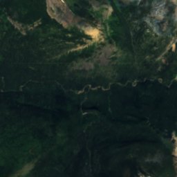
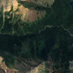
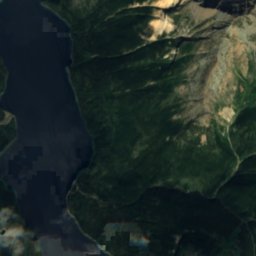
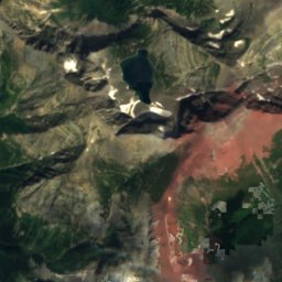
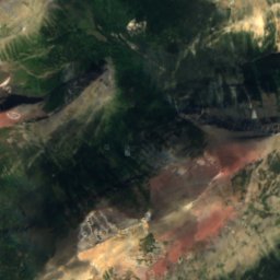
Satellite: Sentinel-2 cloudless 2016 by EOX IT Services GmbH · CC BY 4.0 · Contains modified Copernicus Sentinel data 2016
Satellite: Sentinel-2 cloudless 2016 by EOX IT Services GmbH · CC BY 4.0 · Contains modified Copernicus Sentinel data 2016
Satellite: Sentinel-2 cloudless 2016 by EOX IT Services GmbH · CC BY 4.0 · Contains modified Copernicus Sentinel data 2016
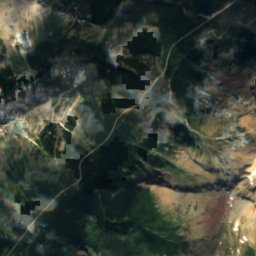
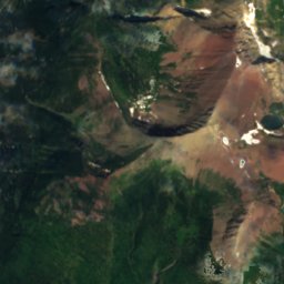
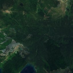
Satellite: Sentinel-2 cloudless 2016 by EOX IT Services GmbH · CC BY 4.0 · Contains modified Copernicus Sentinel data 2016
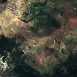
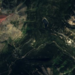
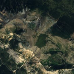
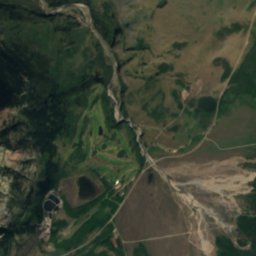
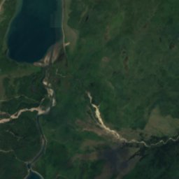
Satellite: Sentinel-2 cloudless 2016 by EOX IT Services GmbH · CC BY 4.0 · Contains modified Copernicus Sentinel data 2016
Summits nearbyMountains of Canada
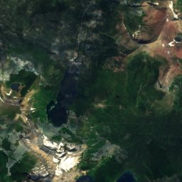
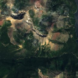
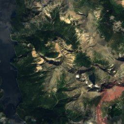
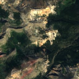
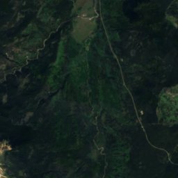
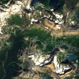
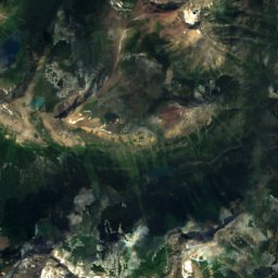
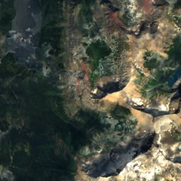
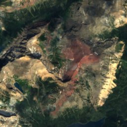
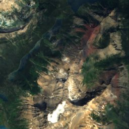
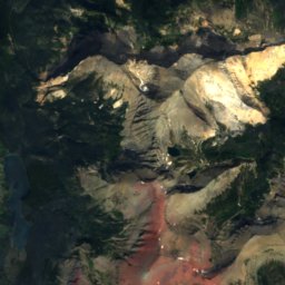
Satellite: Sentinel-2 cloudless 2016 by EOX IT Services GmbH · CC BY 4.0 · Contains modified Copernicus Sentinel data 2016

Satellite: Sentinel-2 cloudless 2016 by EOX IT Services GmbH · CC BY 4.0 · Contains modified Copernicus Sentinel data 2016

Photo: US Geological Survey · Public domain · Wikimedia CommonsReport this photo · linked, not stored


Around here
Waterton and around

Nature

Photo: Kenneth Hynek from Edmonton, Canada · CC BY 2.0 · Wikimedia CommonsReport this photo · linked, not stored
Waterton Lakes National Park
National park


Mountains
Satellite: Sentinel-2 cloudless 2016 by EOX IT Services GmbH · CC BY 4.0 · Contains modified Copernicus Sentinel data 2016
Mount Cleveland (Montana)
10,479 ft · Lewis Range
Satellite: Sentinel-2 cloudless 2016 by EOX IT Services GmbH · CC BY 4.0 · Contains modified Copernicus Sentinel data 2016
Kaiser Point
9,996 ft · Lewis Range
Heritage

Photo: Mike from Vancouver, Canada · CC BY 2.0 · Wikimedia CommonsReport this photo · linked, not stored

Prince of Wales Hotel
national historic site of Canada · 1927


First Oil Well in Western Canada
national historic site of Canada