














Satellite: Sentinel-2 cloudless 2016 by EOX IT Services GmbH · CC BY 4.0 · Contains modified Copernicus Sentinel data 2016
IslandSheet Harbour, Nova Scotia
Crackerbone
IslandBest Jul–Sep
Elevation–above sea level
Area–surface
Nearest townSheet Harbour29 km
44.88° N, 62.17° WUTC−3 · Atlantic Daylight Time
When to goSheet Harbour · weather score
Best timeJul–Sep
October: high / low13° / 8°
Island
Crackerbone in brief
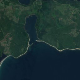
Crackerbone is an island in Sheet Harbour, Nova Scotia, Canada.
The nearest town is Sheet Harbour, 29 km to the W, where the weather is best in July, August and September.
Weather nearby now
Forecast for Sheet Harbour7°
Partly cloudy now
Today
24 Oct
9°
5°
Sun
25 Oct
18°
4°
Mon
26 Oct
16°
5°
Tue
27 Oct
9°
3°
Wed
28 Oct
7°
1°
Model run 12:00 UTCRefreshed several times a day
When to go
Climate of Sheet HarbourThe best months around Crackerbone
Month score in Sheet Harbour
Comfort, dry days and sunshine · out of 10021
Jan
23
Feb
24
Mar
22
Apr
26
May
47
Jun
60
Jul
65
Aug
65
Sep
37
Oct
19
Nov
18
Dec
Map
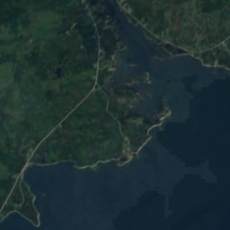
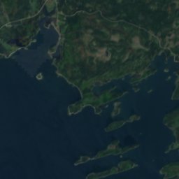
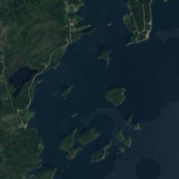
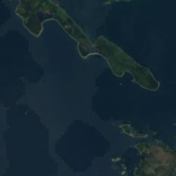
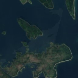
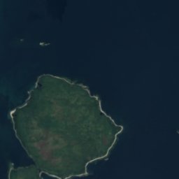
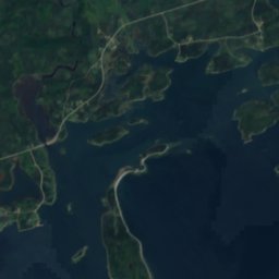
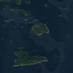
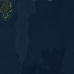
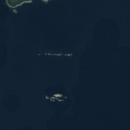
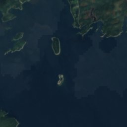
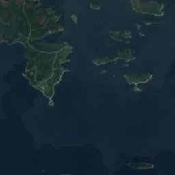
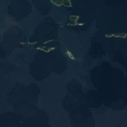
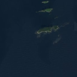
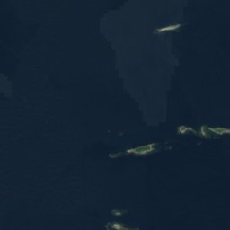
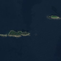
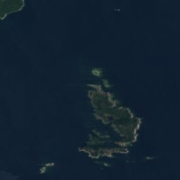
Crackerbone from above
Nature nearbyAll of Canada
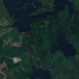
Satellite: Sentinel-2 cloudless 2016 by EOX IT Services GmbH · CC BY 4.0 · Contains modified Copernicus Sentinel data 2016
Satellite: Sentinel-2 cloudless 2016 by EOX IT Services GmbH · CC BY 4.0 · Contains modified Copernicus Sentinel data 2016
Satellite: Sentinel-2 cloudless 2016 by EOX IT Services GmbH · CC BY 4.0 · Contains modified Copernicus Sentinel data 2016
Satellite: Sentinel-2 cloudless 2016 by EOX IT Services GmbH · CC BY 4.0 · Contains modified Copernicus Sentinel data 2016
Satellite: Sentinel-2 cloudless 2016 by EOX IT Services GmbH · CC BY 4.0 · Contains modified Copernicus Sentinel data 2016
Satellite: Sentinel-2 cloudless 2016 by EOX IT Services GmbH · CC BY 4.0 · Contains modified Copernicus Sentinel data 2016
Stay nearby
Towns close by


Around here
Sheet Harbour and around
Nature
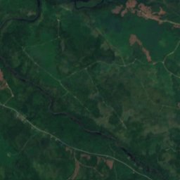
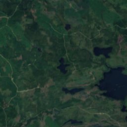
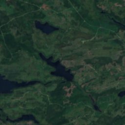
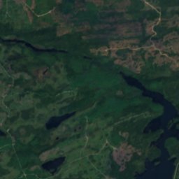
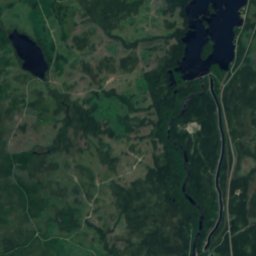
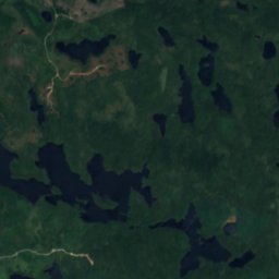
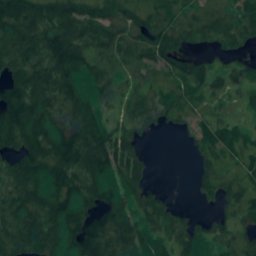
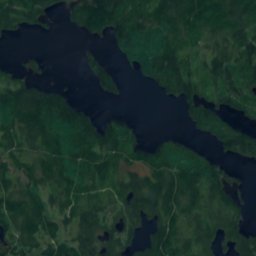
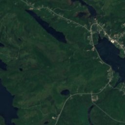
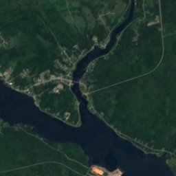
Satellite: Sentinel-2 cloudless 2016 by EOX IT Services GmbH · CC BY 4.0 · Contains modified Copernicus Sentinel data 2016
Grand Lake (Sheet Harbour)
Lake
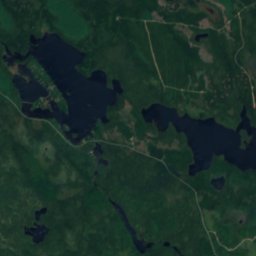
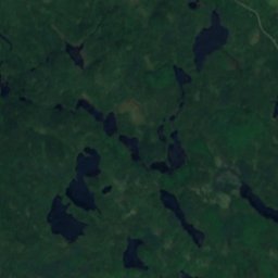
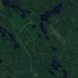
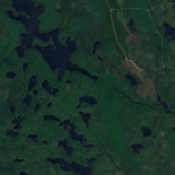
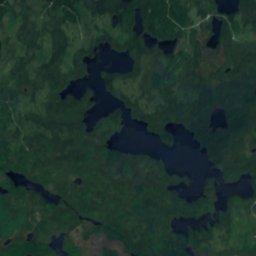
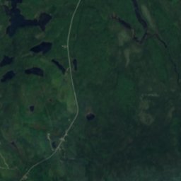
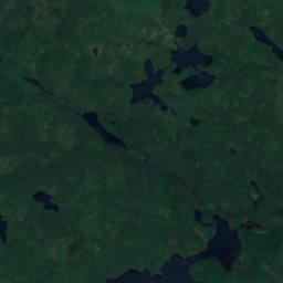
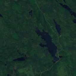
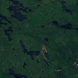
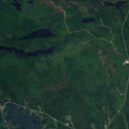
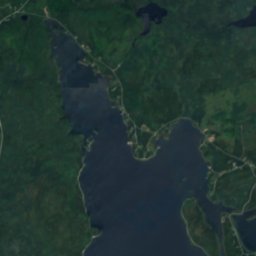
Satellite: Sentinel-2 cloudless 2016 by EOX IT Services GmbH · CC BY 4.0 · Contains modified Copernicus Sentinel data 2016
Hamilton Lake (Spry Bay)
Lake · 36 m
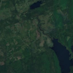
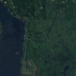
Satellite: Sentinel-2 cloudless 2016 by EOX IT Services GmbH · CC BY 4.0 · Contains modified Copernicus Sentinel data 2016
West Lake, Nova Scotia
Lake
Heritage



Satellite: Sentinel-2 cloudless 2016 by EOX IT Services GmbH · CC BY 4.0 · Contains modified Copernicus Sentinel data 2016
MacPhee House
Municipally Registered Property · 1875
Museums







Satellite: Sentinel-2 cloudless 2016 by EOX IT Services GmbH · CC BY 4.0 · Contains modified Copernicus Sentinel data 2016
Musquodoboit Harbour Railway Museum
1918