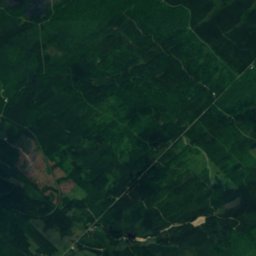
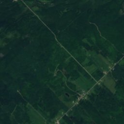
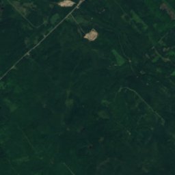
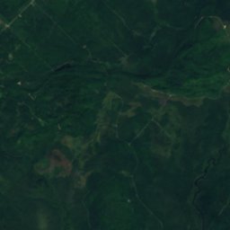
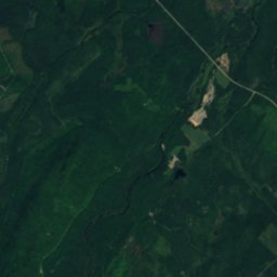
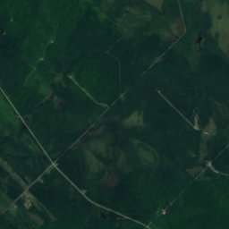
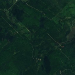
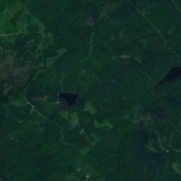
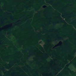
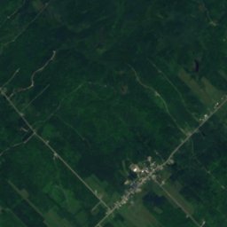
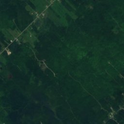
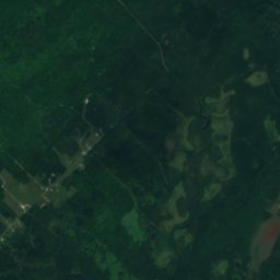
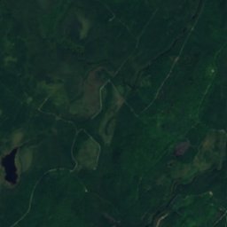
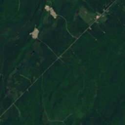
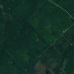
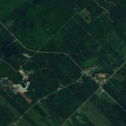
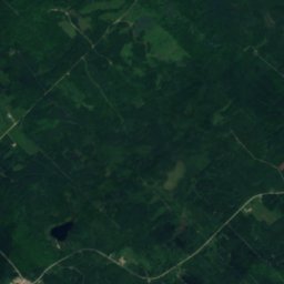
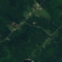
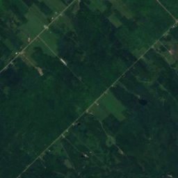
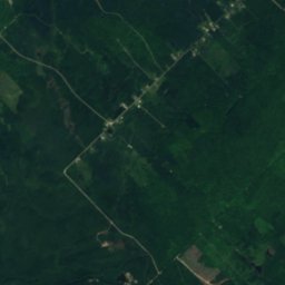
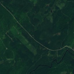
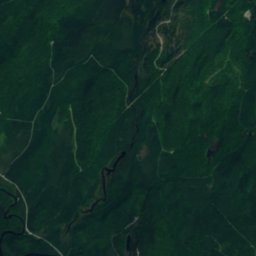
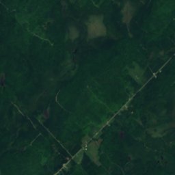
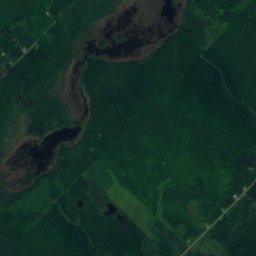
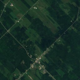
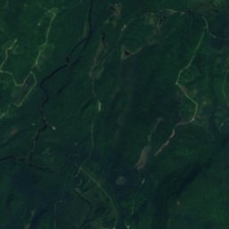
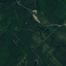
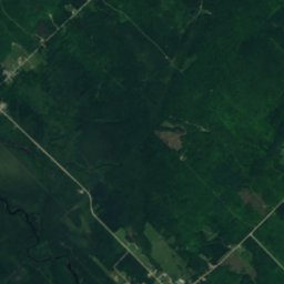
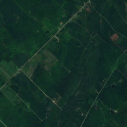
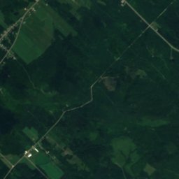
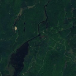
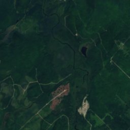
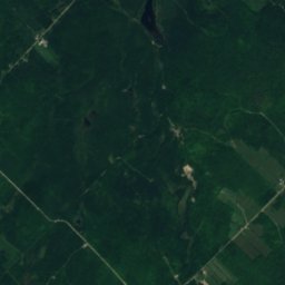
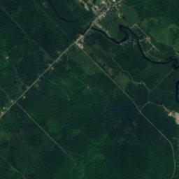
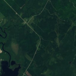
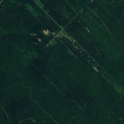
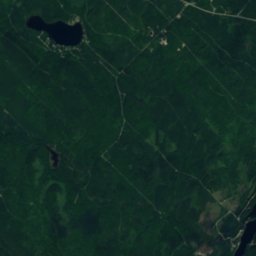
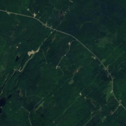
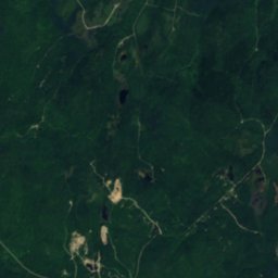
Satellite: Sentinel-2 cloudless 2016 by EOX IT Services GmbH · CC BY 4.0 · Contains modified Copernicus Sentinel data 2016

Photo: Fralambert · CC BY-SA 4.0 · Wikimedia Commons
Rivière Noire Nord-OuestReport this photo · linked, not stored
Rivière Noire Nord-OuestRivière Noire Nord-OuestReport this photo · linked, not stored
WaterfallLac-Frontière, Quebec
Chute de la Devost
WaterfallBest Jul–Sep
Elevation–above sea level
Height–of the falls
Nearest townLac-Frontière12 km
46.75° N, 70.14° WUTC−4 · Eastern Daylight Time
When to goLac-Frontière · weather score
Best timeJul–Sep
October: high / low11° / 0°
Waterfall
Chute de la Devost in brief
Chute de la Devost is a waterfall in Lac-Frontière, Quebec, Canada.
The nearest town in the atlas is Lac-Frontière, 12 km to the SE, where the weather is best in July, August and September.
Weather nearby now
Forecast for Lac-Frontière7°
Cloudy now
Today
22 Oct
10°
-3°
Fri
23 Oct
7°
-4°
Sat
24 Oct
12°
-5°
Sun
25 Oct
15°
0°
Mon
26 Oct
12°
0°
1 mm
Model run 00:00 UTCRefreshed several times a day
When to go
Climate of Lac-FrontièreThe best months around Chute de la Devost
Month score in Lac-Frontière
Comfort, dry days and sunshine · out of 10021
Jan
23
Feb
19
Mar
18
Apr
50
May
62
Jun
64
Jul
65
Aug
64
Sep
22
Oct
17
Nov
17
Dec
Map
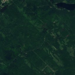
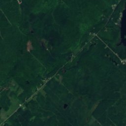
Chute de la Devost from above
Nature nearbyAll of Canada
Satellite: Sentinel-2 cloudless 2016 by EOX IT Services GmbH · CC BY 4.0 · Contains modified Copernicus Sentinel data 2016
Satellite: Sentinel-2 cloudless 2016 by EOX IT Services GmbH · CC BY 4.0 · Contains modified Copernicus Sentinel data 2016
Satellite: Sentinel-2 cloudless 2016 by EOX IT Services GmbH · CC BY 4.0 · Contains modified Copernicus Sentinel data 2016
Satellite: Sentinel-2 cloudless 2016 by EOX IT Services GmbH · CC BY 4.0 · Contains modified Copernicus Sentinel data 2016
Satellite: Sentinel-2 cloudless 2016 by EOX IT Services GmbH · CC BY 4.0 · Contains modified Copernicus Sentinel data 2016

Summits nearbyMountains of Canada
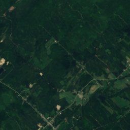
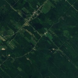
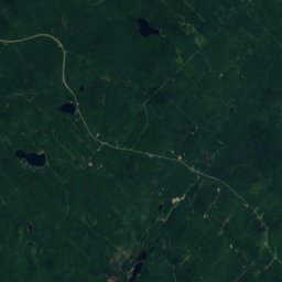
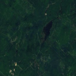
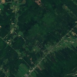
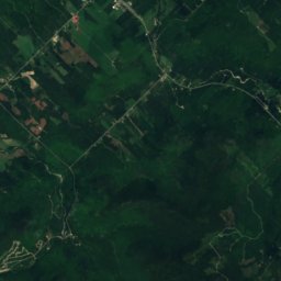
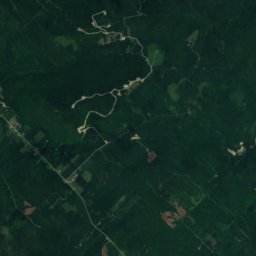
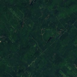
Satellite: Sentinel-2 cloudless 2016 by EOX IT Services GmbH · CC BY 4.0 · Contains modified Copernicus Sentinel data 2016
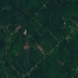
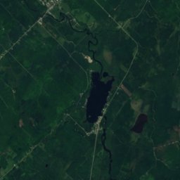
Satellite: Sentinel-2 cloudless 2016 by EOX IT Services GmbH · CC BY 4.0 · Contains modified Copernicus Sentinel data 2016
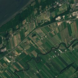
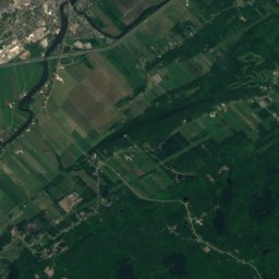
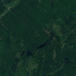
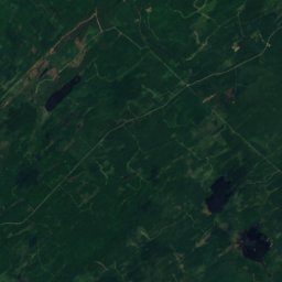
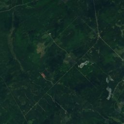
Satellite: Sentinel-2 cloudless 2016 by EOX IT Services GmbH · CC BY 4.0 · Contains modified Copernicus Sentinel data 2016
Stay nearby
Towns close by

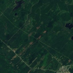
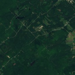
Satellite: Sentinel-2 cloudless 2016 by EOX IT Services GmbH · CC BY 4.0 · Contains modified Copernicus Sentinel data 2016
Saint-Paul-de-Montminy
Quebec · 17 km W
10°Oct high
16wet days
18score
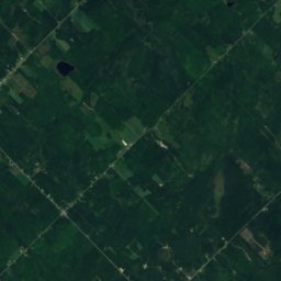
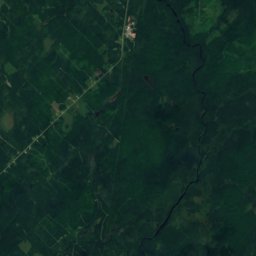
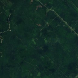
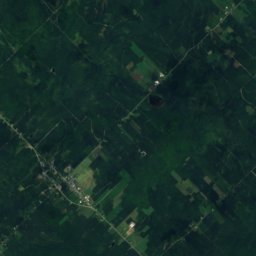
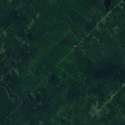
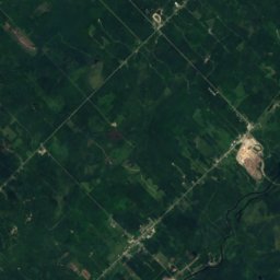
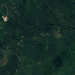
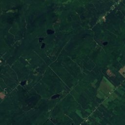
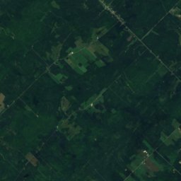
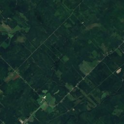
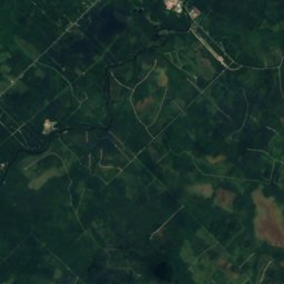
Satellite: Sentinel-2 cloudless 2016 by EOX IT Services GmbH · CC BY 4.0 · Contains modified Copernicus Sentinel data 2016
Saint-Just-de-Bretenières
Quebec · 21 km S
11°Oct high
16wet days
22score

Sainte-Euphémie-sur-Rivière-du-Sud
Quebec · 23 km W
10°Oct high
16wet days
20score
Around here
Lac-Frontière and around
Nature


Satellite: Sentinel-2 cloudless 2016 by EOX IT Services GmbH · CC BY 4.0 · Contains modified Copernicus Sentinel data 2016
Petite rivière William
River
Mountains
Satellite: Sentinel-2 cloudless 2016 by EOX IT Services GmbH · CC BY 4.0 · Contains modified Copernicus Sentinel data 2016
Mont Saint-Magloire
915 m · Massif du Sud


Satellite: Sentinel-2 cloudless 2016 by EOX IT Services GmbH · CC BY 4.0 · Contains modified Copernicus Sentinel data 2016
Mont Chocolat
854 m · Massif du Sud