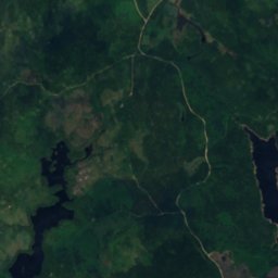
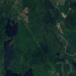
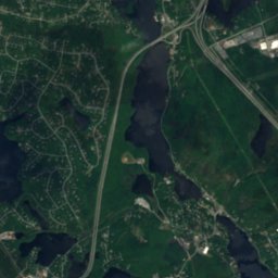
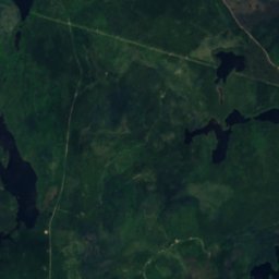
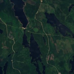
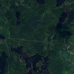
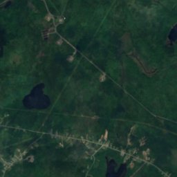
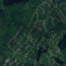
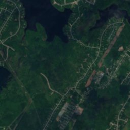
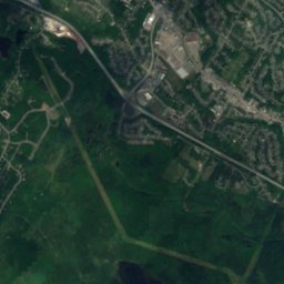
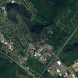
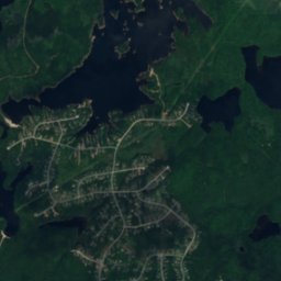
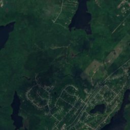
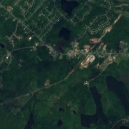
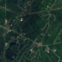
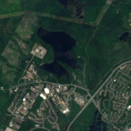
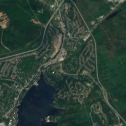
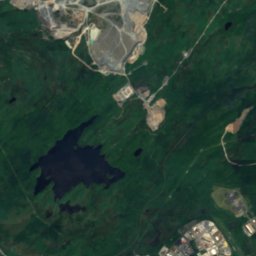
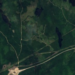
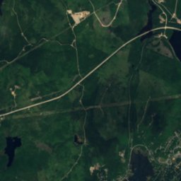
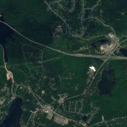
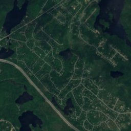
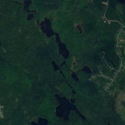
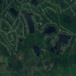
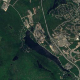
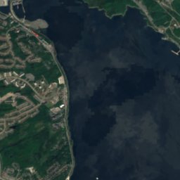
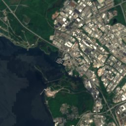
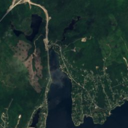
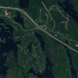
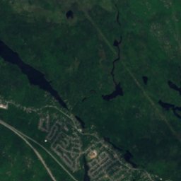
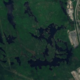
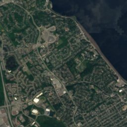
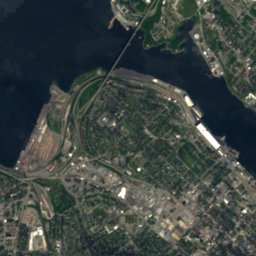
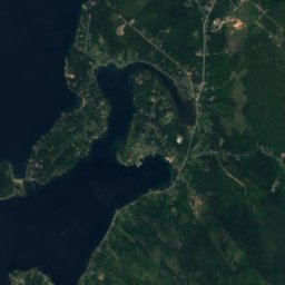
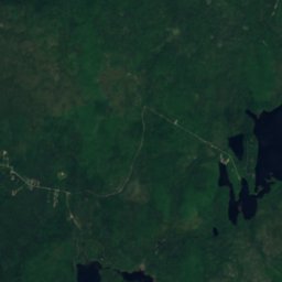
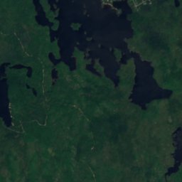
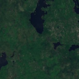
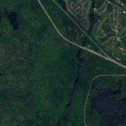
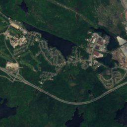
Satellite: Sentinel-2 cloudless 2016 by EOX IT Services GmbH · CC BY 4.0 · Contains modified Copernicus Sentinel data 2016
WaterfallEnglish Corner, Nova Scotia
Bear Trap Falls
WaterfallBest Jul–Sep
Elevation–above sea level
Height–of the falls
Nearest townEnglish Corner3.9 km
44.70° N, 63.78° WUTC−3 · Atlantic Daylight Time
When to goEnglish Corner · weather score
Best timeJul–Sep
October: high / low14° / 5°
Waterfall
Bear Trap Falls in brief
Bear Trap Falls is a waterfall in English Corner, Nova Scotia, Canada.
The nearest town in the atlas is English Corner, 3.9 km to the N, where the weather is best in July, August and September.
Weather nearby now
Forecast for English Corner8°
Rain now
Today
22 Oct
10°
5°
9 mm
Fri
23 Oct
9°
3°
2 mm
Sat
24 Oct
10°
2°
Sun
25 Oct
18°
1°
Mon
26 Oct
16°
3°
Model run 00:00 UTCRefreshed several times a day
When to go
Climate of English CornerThe best months around Bear Trap Falls
Month score in English Corner
Comfort, dry days and sunshine · out of 10023
Jan
24
Feb
22
Mar
23
Apr
48
May
60
Jun
61
Jul
62
Aug
66
Sep
42
Oct
22
Nov
17
Dec
Map
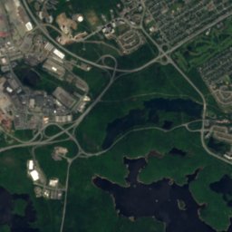
Bear Trap Falls from above
Nature nearbyAll of Canada
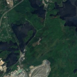
Satellite: Sentinel-2 cloudless 2016 by EOX IT Services GmbH · CC BY 4.0 · Contains modified Copernicus Sentinel data 2016
Satellite: Sentinel-2 cloudless 2016 by EOX IT Services GmbH · CC BY 4.0 · Contains modified Copernicus Sentinel data 2016
Satellite: Sentinel-2 cloudless 2016 by EOX IT Services GmbH · CC BY 4.0 · Contains modified Copernicus Sentinel data 2016
Satellite: Sentinel-2 cloudless 2016 by EOX IT Services GmbH · CC BY 4.0 · Contains modified Copernicus Sentinel data 2016
Satellite: Sentinel-2 cloudless 2016 by EOX IT Services GmbH · CC BY 4.0 · Contains modified Copernicus Sentinel data 2016
Satellite: Sentinel-2 cloudless 2016 by EOX IT Services GmbH · CC BY 4.0 · Contains modified Copernicus Sentinel data 2016
Summits nearbyMountains of Canada
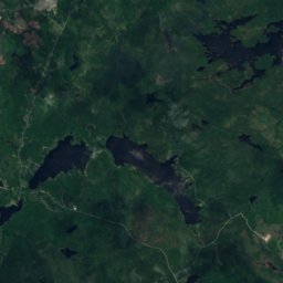
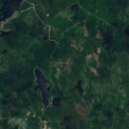
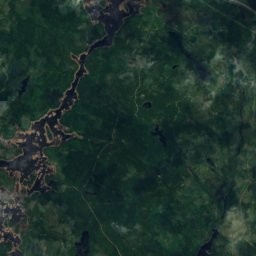
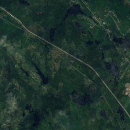
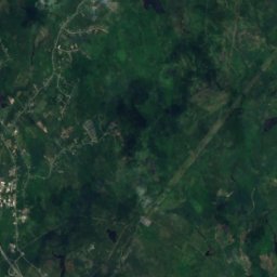
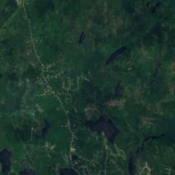
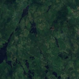
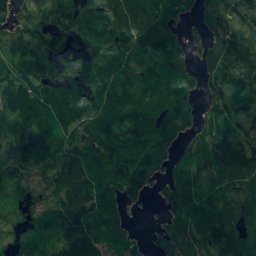
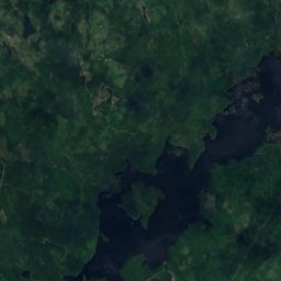
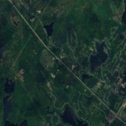
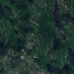
Satellite: Sentinel-2 cloudless 2016 by EOX IT Services GmbH · CC BY 4.0 · Contains modified Copernicus Sentinel data 2016
Stay nearby
Towns close by
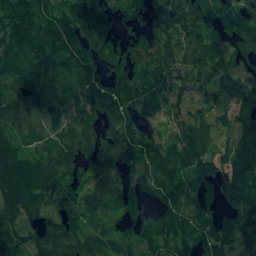
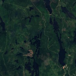
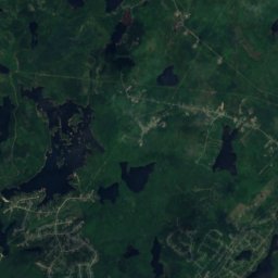
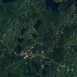
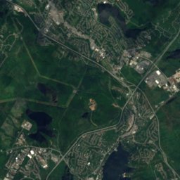
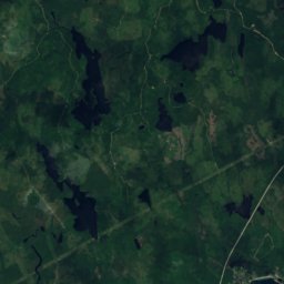
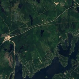
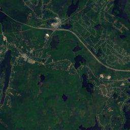
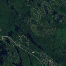
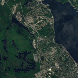
Satellite: Sentinel-2 cloudless 2016 by EOX IT Services GmbH · CC BY 4.0 · Contains modified Copernicus Sentinel data 2016
English Corner
Nova Scotia · 3.9 km N
14°Oct high
13wet days
42score
Satellite: Sentinel-2 cloudless 2016 by EOX IT Services GmbH · CC BY 4.0 · Contains modified Copernicus Sentinel data 2016
Hammonds Plains
Nova Scotia · 4.0 km N
14°Oct high
13wet days
42score
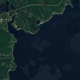
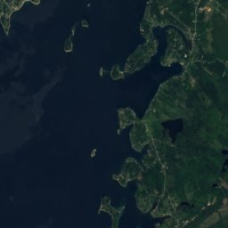
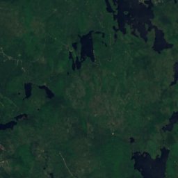
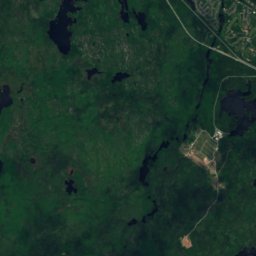
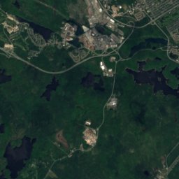
Satellite: Sentinel-2 cloudless 2016 by EOX IT Services GmbH · CC BY 4.0 · Contains modified Copernicus Sentinel data 2016
Hubley
Nova Scotia · 4.3 km SW
14°Oct high
13wet days
42score
Satellite: Sentinel-2 cloudless 2016 by EOX IT Services GmbH · CC BY 4.0 · Contains modified Copernicus Sentinel data 2016
Stillwater Lake
Nova Scotia · 4.3 km W
14°Oct high
13wet days
42score
Around here
English Corner and around
Satellite: Sentinel-2 cloudless 2016 by EOX IT Services GmbH · CC BY 4.0 · Contains modified Copernicus Sentinel data 2016
English Corner
Nova Scotia · Canada
Jul–Sepbest months
24°July high
116 maltitude
Nature

Photo: Paul from Hacketts Cove, Canada · CC BY 2.0 · Wikimedia CommonsReport this photo · linked, not stored
Kearney Lake, Nova Scotia
Lake · 43 m


Mountains
Satellite: Sentinel-2 cloudless 2016 by EOX IT Services GmbH · CC BY 4.0 · Contains modified Copernicus Sentinel data 2016
Kehoe Mountain
217 m
Heritage
Satellite: Sentinel-2 cloudless 2016 by EOX IT Services GmbH · CC BY 4.0 · Contains modified Copernicus Sentinel data 2016
Fultz House
Municipally Registered Property · 1865






Satellite: Sentinel-2 cloudless 2016 by EOX IT Services GmbH · CC BY 4.0 · Contains modified Copernicus Sentinel data 2016
Africville
national historic site of Canada
Satellite: Sentinel-2 cloudless 2016 by EOX IT Services GmbH · CC BY 4.0 · Contains modified Copernicus Sentinel data 2016
Scott Manor House
Provincially Registered Property
Museums


Photo: Unknown authorUnknown author · Public domain · Wikimedia CommonsReport this photo · linked, not stored

Fort Sackville
Military museum · 1749
Satellite: Sentinel-2 cloudless 2016 by EOX IT Services GmbH · CC BY 4.0 · Contains modified Copernicus Sentinel data 2016