Photo: Minette Lontsie · CC BY-SA 4.0 · Wikimedia Commons
DibambaReport this photo · linked, not stored
DibambaReport this photo · linked, not stored
 Wouri River
RiverDouala, Littoral
Dibamba
RiverBest Jan · Jul · Dec
Elevation–above sea level
Length150 kmsource to mouth
Nearest townDouala13 km
3.95° N, 9.76° EUTC+1 · West Africa Time
When to goDouala · weather score
Best timeJan · Jul · Dec
October: high / low28° / 23°
River
Dibamba in brief
Dibamba is a river in Douala, Littoral, Cameroon.
The nearest town in the atlas is Douala, 13 km to the NW, where the weather is best in January, July and December.
Dibamba is 150 km long.
Weather nearby now
Forecast for Douala29°
Cloudy now
Today
22 Oct
32°
24°
13 mm
Fri
23 Oct
29°
25°
11 mm
Sat
24 Oct
29°
25°
7 mm
Sun
25 Oct
29°
25°
7 mm
Mon
26 Oct
30°
25°
6 mm
Model run 00:00 UTCRefreshed several times a day
Map
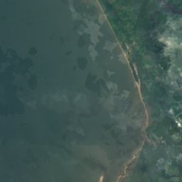
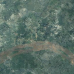
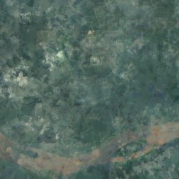
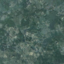
Dibamba from above
Nature nearbyAll of Cameroon
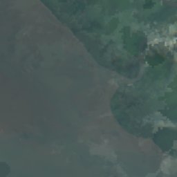
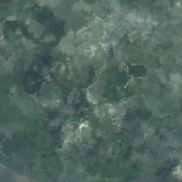
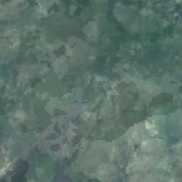
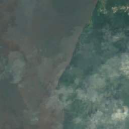
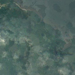
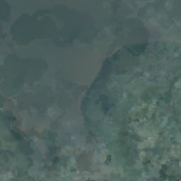
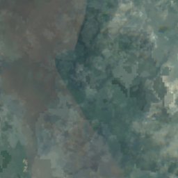
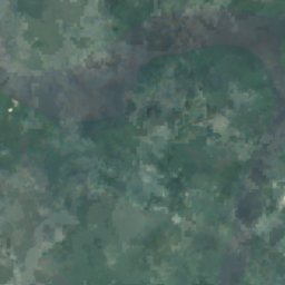
Satellite: Sentinel-2 cloudless 2016 by EOX IT Services GmbH · CC BY 4.0 · Contains modified Copernicus Sentinel data 2016

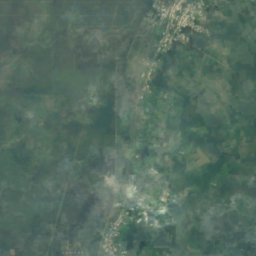
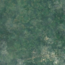
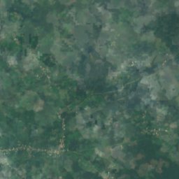
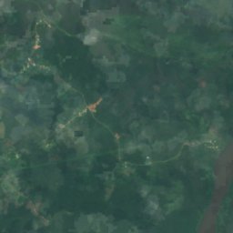
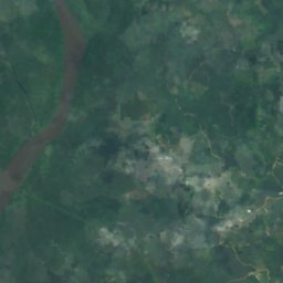
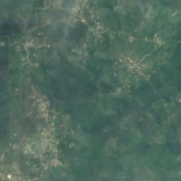
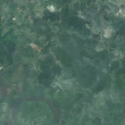
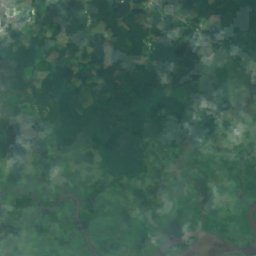
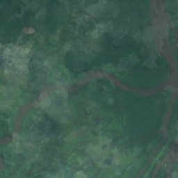
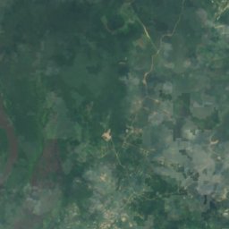
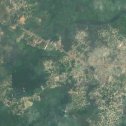
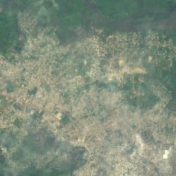
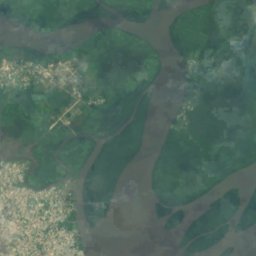
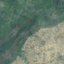
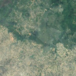
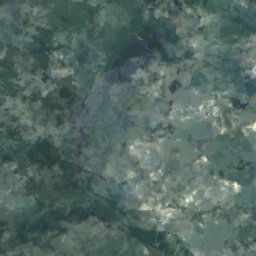
Satellite: Sentinel-2 cloudless 2016 by EOX IT Services GmbH · CC BY 4.0 · Contains modified Copernicus Sentinel data 2016






Around here
Douala and around
Nature

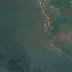
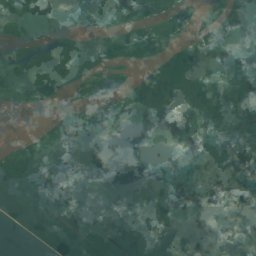
Satellite: Sentinel-2 cloudless 2016 by EOX IT Services GmbH · CC BY 4.0 · Contains modified Copernicus Sentinel data 2016
Ile Djébalé
Island · 17 m
Heritage

Cameroon Chamber of Commerce, Industry, Mines and Crafts
monument of Cameroon · 1928

Cathedral of Saints Peter and Paul, Douala
monument of Cameroon · 1936