Nature
Waters, ice and wild places of Burundi
Lakes, waterfalls, glaciers, national parks and mountain huts, each with its location, its size and the weather of the towns around it.
Lakes6with a page
Waterfalls1with a page
National parks3with a page
Beaches2with a page

Photo: NIHEREWENIMANA Richard · CC BY-SA 4.0 · Wikimedia CommonsReport this photo · linked, not stored
Lakes
Lakes of Burundi

Photo: NIHEREWENIMANA Richard · CC BY-SA 4.0 · Wikimedia CommonsReport this photo · linked, not stored
Lake Rwihinda
Bwambarangwe, Kirundo
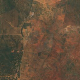
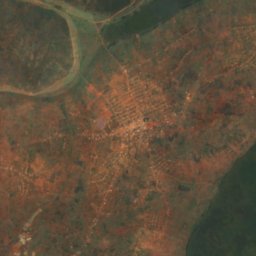
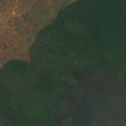
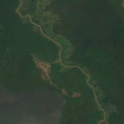
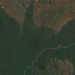
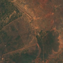
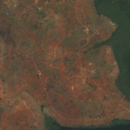
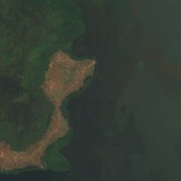
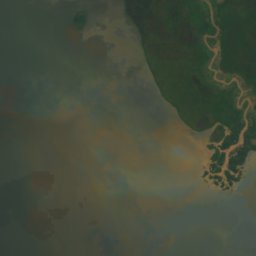
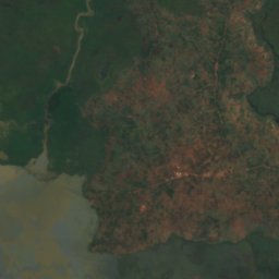
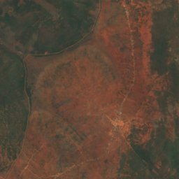
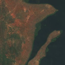

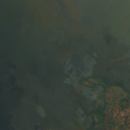
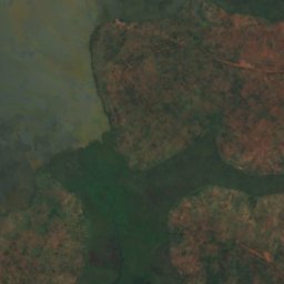
Satellite: Sentinel-2 cloudless 2016 by EOX IT Services GmbH · CC BY 4.0 · Contains modified Copernicus Sentinel data 2016
Lake Rweru
Giteranyi, Muyinga
100 km²
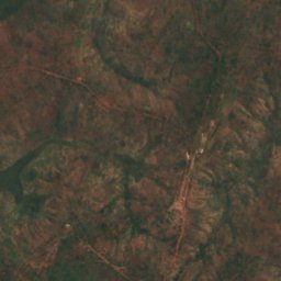
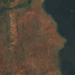
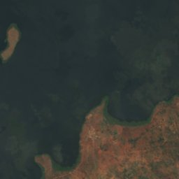
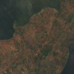
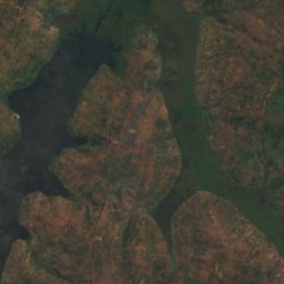
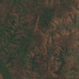
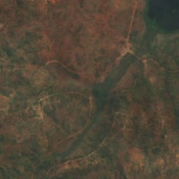
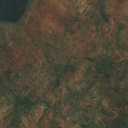
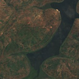
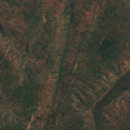
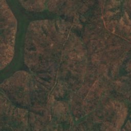
Satellite: Sentinel-2 cloudless 2016 by EOX IT Services GmbH · CC BY 4.0 · Contains modified Copernicus Sentinel data 2016
Lac Kanzigiri
Giteranyi, Muyinga
1,324 m
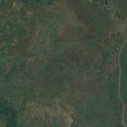
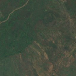
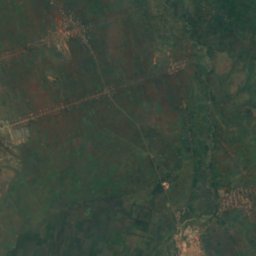
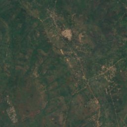
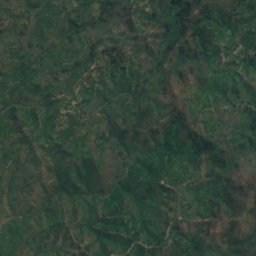
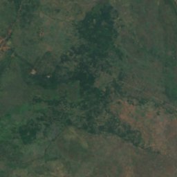
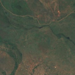
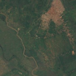
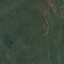
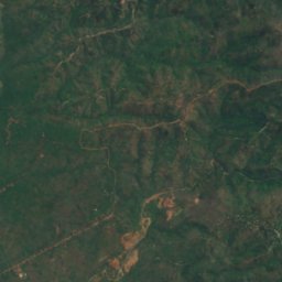
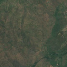
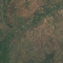
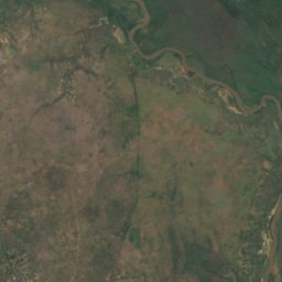
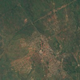
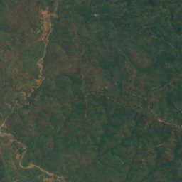
Satellite: Sentinel-2 cloudless 2016 by EOX IT Services GmbH · CC BY 4.0 · Contains modified Copernicus Sentinel data 2016
Lac Dogodogo
Cibitoke, Cibitoke
900 m
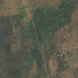
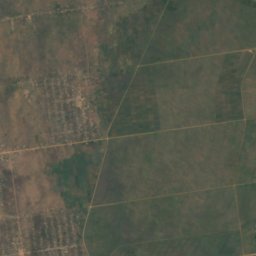
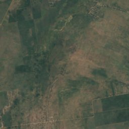
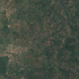
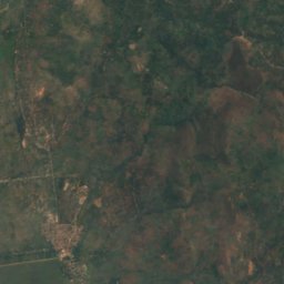
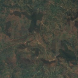
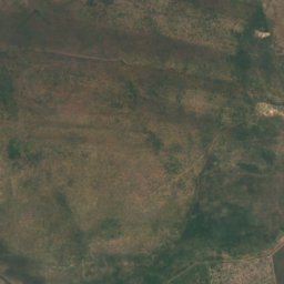
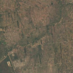
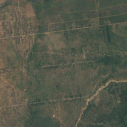
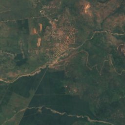
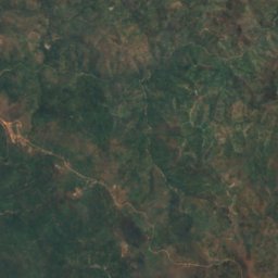
Satellite: Sentinel-2 cloudless 2016 by EOX IT Services GmbH · CC BY 4.0 · Contains modified Copernicus Sentinel data 2016
Lac Kibenga
Mpanda, Bubanza
895 m
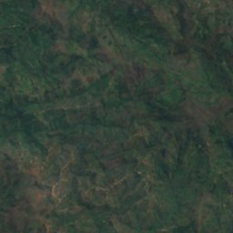
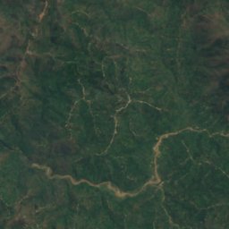
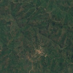
Satellite: Sentinel-2 cloudless 2016 by EOX IT Services GmbH · CC BY 4.0 · Contains modified Copernicus Sentinel data 2016
Lac Nyamuziba
Cibitoke, Cibitoke
948 m
Waterfalls
Waterfalls of Burundi

National parks
National parks of Burundi


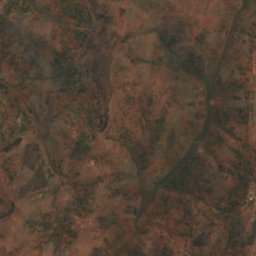
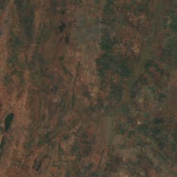
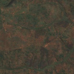
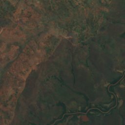
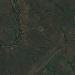
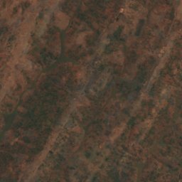
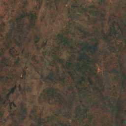
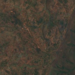
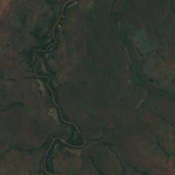
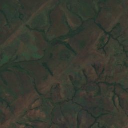
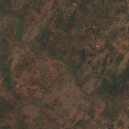
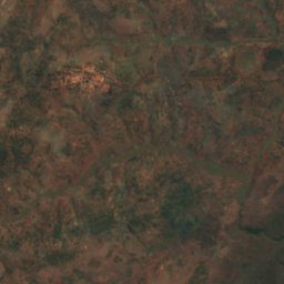
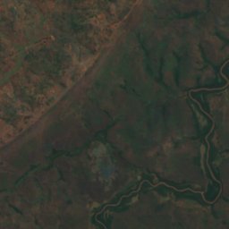
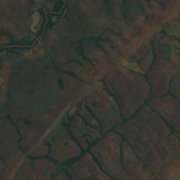
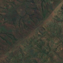
Satellite: Sentinel-2 cloudless 2016 by EOX IT Services GmbH · CC BY 4.0 · Contains modified Copernicus Sentinel data 2016
Ruvubu National Park
Karuzi, Gitega
1,361 m
Beaches
Beaches of Burundi
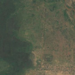
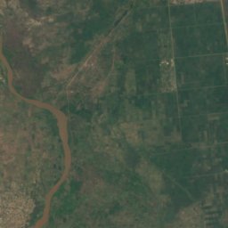
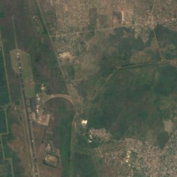
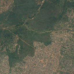
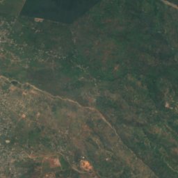
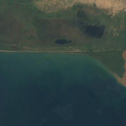
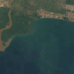
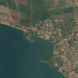
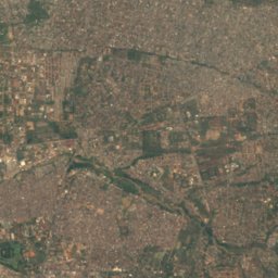
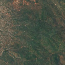


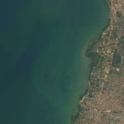
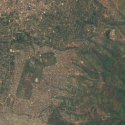
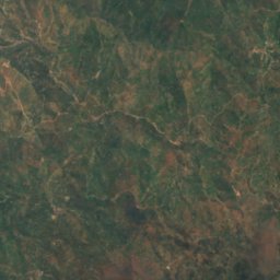
Satellite: Sentinel-2 cloudless 2016 by EOX IT Services GmbH · CC BY 4.0 · Contains modified Copernicus Sentinel data 2016
Plage Bujumbura
Bujumbura, Bujumbura Mairie
767 m


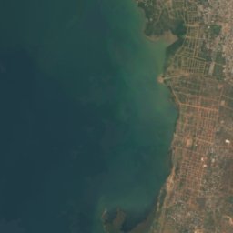
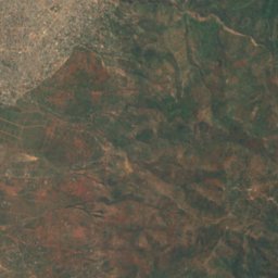
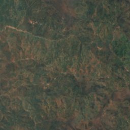
Satellite: Sentinel-2 cloudless 2016 by EOX IT Services GmbH · CC BY 4.0 · Contains modified Copernicus Sentinel data 2016
Plage Kibenga
Bujumbura, Bujumbura Mairie
767 m
Rivers
Rivers of Burundi


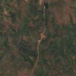
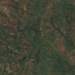
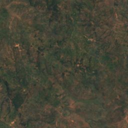
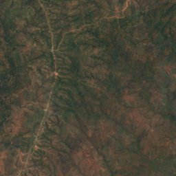
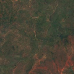
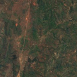
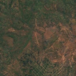
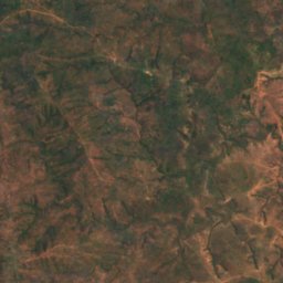
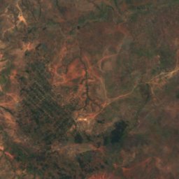
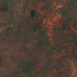
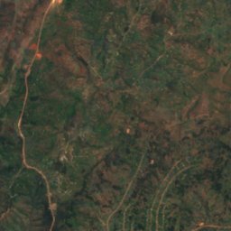
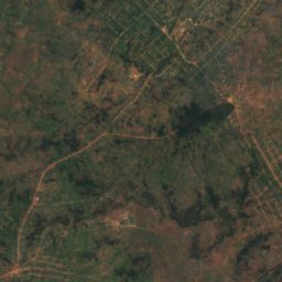
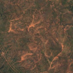
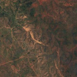
Satellite: Sentinel-2 cloudless 2016 by EOX IT Services GmbH · CC BY 4.0 · Contains modified Copernicus Sentinel data 2016
La rivière Maragarazi
Mabanda, Makamba
1,500 m
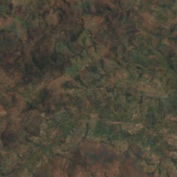
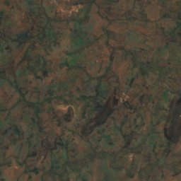
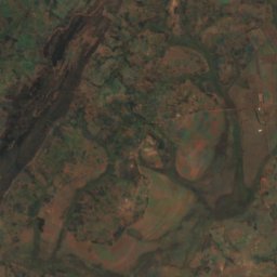
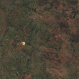
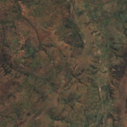
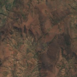
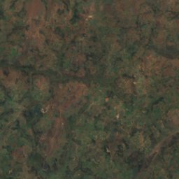
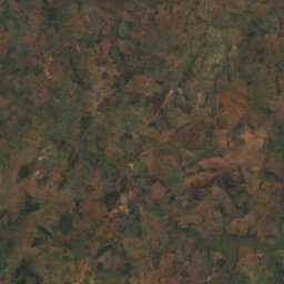
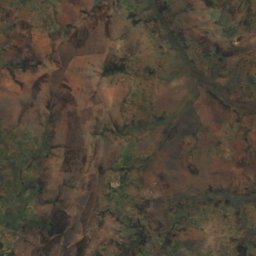
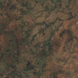
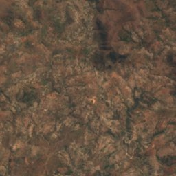
Satellite: Sentinel-2 cloudless 2016 by EOX IT Services GmbH · CC BY 4.0 · Contains modified Copernicus Sentinel data 2016
Ruvyironza River
Rutana, Rutana
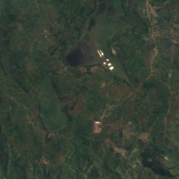
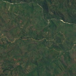
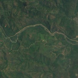
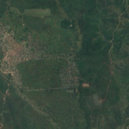
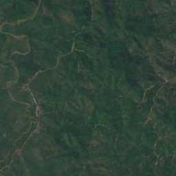
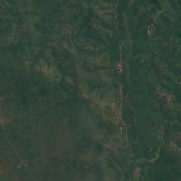
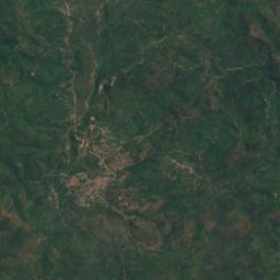
Satellite: Sentinel-2 cloudless 2016 by EOX IT Services GmbH · CC BY 4.0 · Contains modified Copernicus Sentinel data 2016
Rubyiro River
Cibitoke, Cibitoke
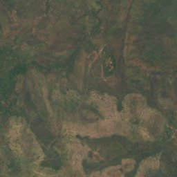
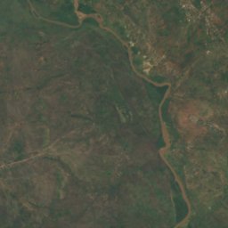
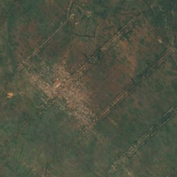
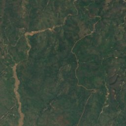
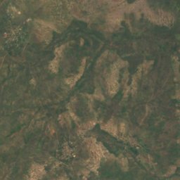
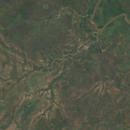
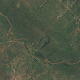
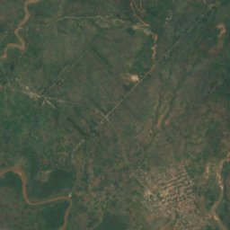
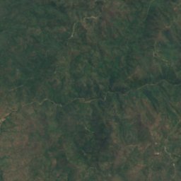
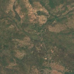
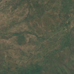
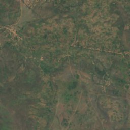
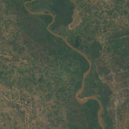
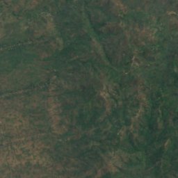
Satellite: Sentinel-2 cloudless 2016 by EOX IT Services GmbH · CC BY 4.0 · Contains modified Copernicus Sentinel data 2016
Kaburantwa River
Cibitoke, Cibitoke
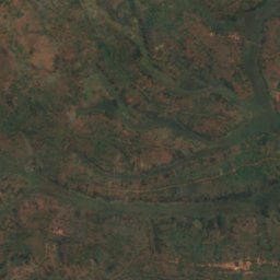
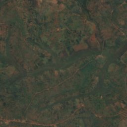
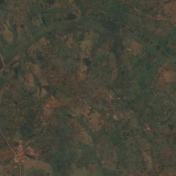
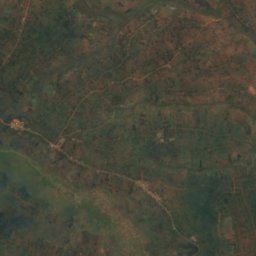
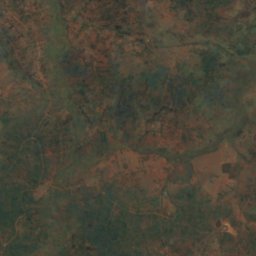
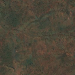
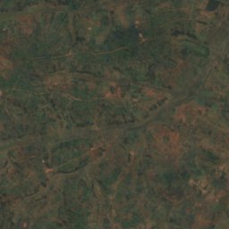
Satellite: Sentinel-2 cloudless 2016 by EOX IT Services GmbH · CC BY 4.0 · Contains modified Copernicus Sentinel data 2016
Kinyankuru
Karuzi, Gitega
1,510 m
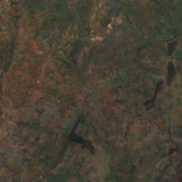
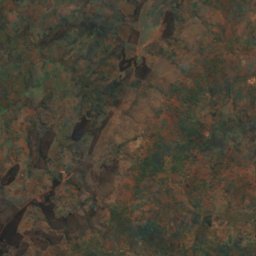
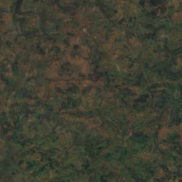
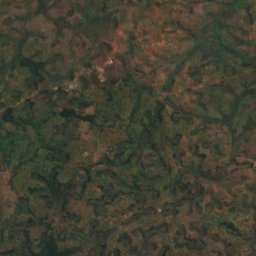


Satellite: Sentinel-2 cloudless 2016 by EOX IT Services GmbH · CC BY 4.0 · Contains modified Copernicus Sentinel data 2016
Kaniga River
Mwaro, Gitega