
Photo: Edal Anton Lefterov · CC BY-SA 3.0 · Wikimedia Commons
DevnyaReport this photo · linked, not stored
DevnyaReport this photo · linked, not stored
 Lake Varna

Photo: Nedko @ Flickr · CC BY 2.0 · Wikimedia Commons
Provadiya RiverReport this photo · linked, not stored
Provadiya RiverProvadiya RiverReport this photo · linked, not stored
RiverDevnya, Varna
Devnya
RiverBest Apr · Sep–Oct
Elevation–above sea level
Length21 kmsource to mouth
Nearest townDevnya2.5 km
43.22° N, 27.60° EUTC+3 · Eastern European Summer Time
When to goDevnya · weather score
Best timeApr · Sep–Oct
October: high / low20° / 8°
River
Devnya in brief
Devnya is a river in Devnya, Varna, Bulgaria.
The nearest town in the atlas is Devnya, 2.5 km to the W, where the weather is best in April, September and October.
Devnya is 21 km long.
Weather nearby now
Forecast for Devnya20°
Clear now
Today
22 Oct
23°
13°
Fri
23 Oct
17°
11°
9 mm
Sat
24 Oct
21°
7°
Sun
25 Oct
20°
7°
Mon
26 Oct
20°
11°
Model run 00:00 UTCRefreshed several times a day
When to go
Climate of DevnyaThe best months around Devnya
Month score in Devnya
Comfort, dry days and sunshine · out of 10034
Jan
37
Feb
51
Mar
80
Apr
78
May
64
Jun
57
Jul
63
Aug
82
Sep
81
Oct
52
Nov
32
Dec
Map
Devnya from above
Nature nearbyAll of Bulgaria
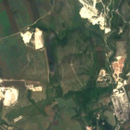
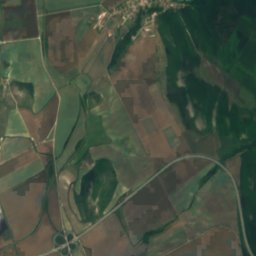
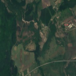
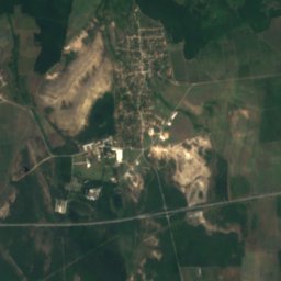
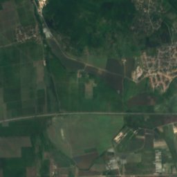
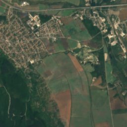
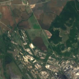
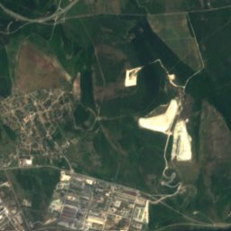
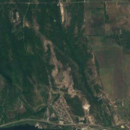
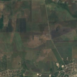
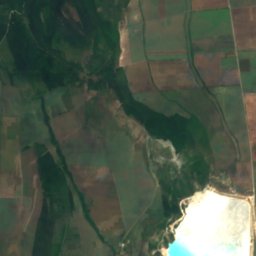
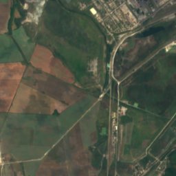
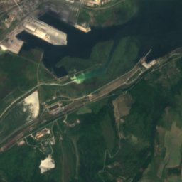
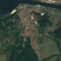
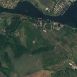
Satellite: Sentinel-2 cloudless 2016 by EOX IT Services GmbH · CC BY 4.0 · Contains modified Copernicus Sentinel data 2016
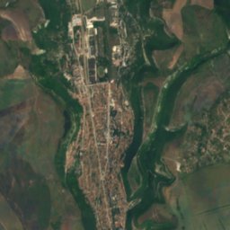
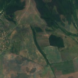
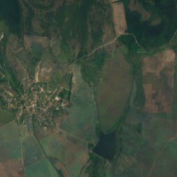
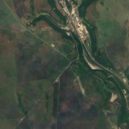
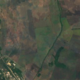
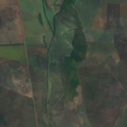
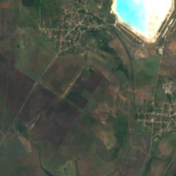
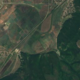
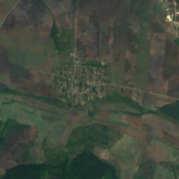
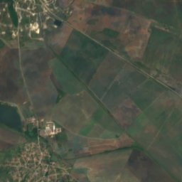
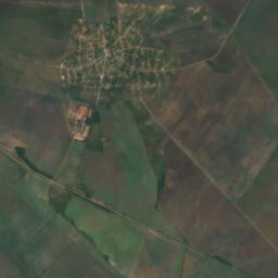
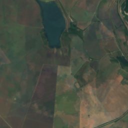
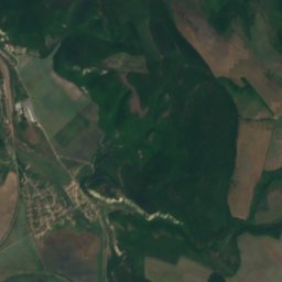
Satellite: Sentinel-2 cloudless 2016 by EOX IT Services GmbH · CC BY 4.0 · Contains modified Copernicus Sentinel data 2016

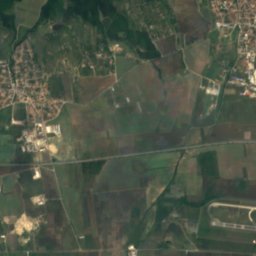
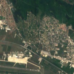
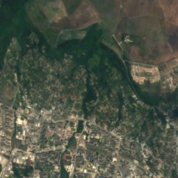
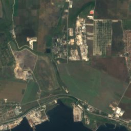
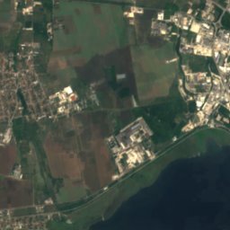
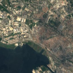
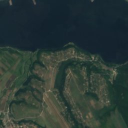
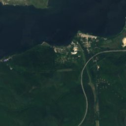
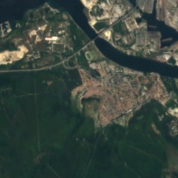
Satellite: Sentinel-2 cloudless 2016 by EOX IT Services GmbH · CC BY 4.0 · Contains modified Copernicus Sentinel data 2016
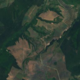
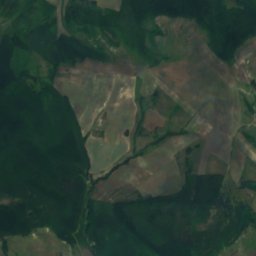
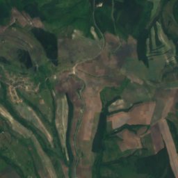
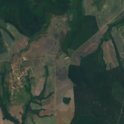
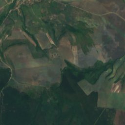
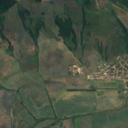
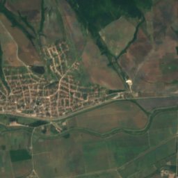
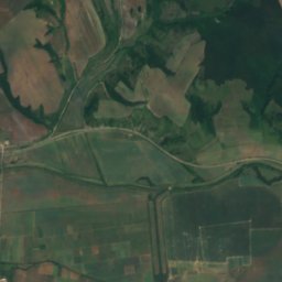
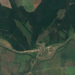
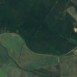
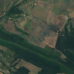
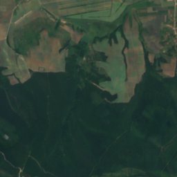
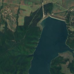
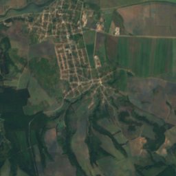
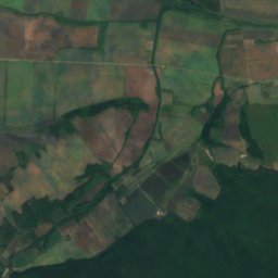
Satellite: Sentinel-2 cloudless 2016 by EOX IT Services GmbH · CC BY 4.0 · Contains modified Copernicus Sentinel data 2016
Stay nearby
Towns close by


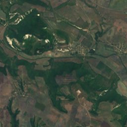
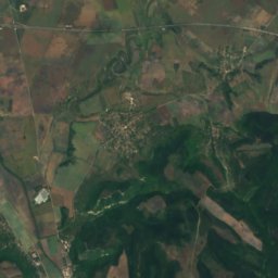
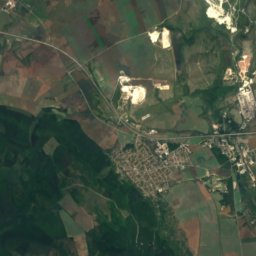
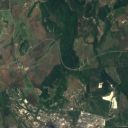
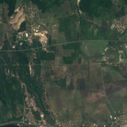
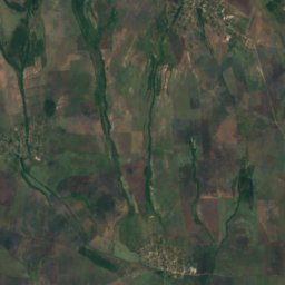
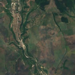
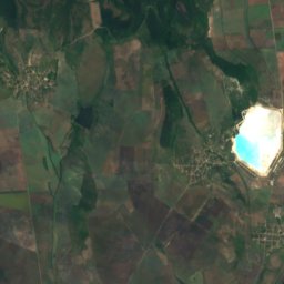
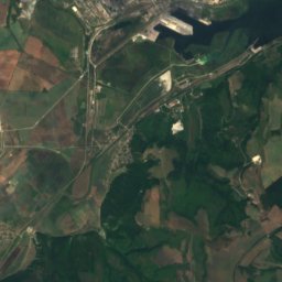
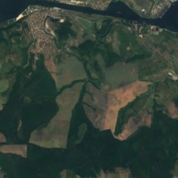
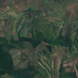
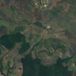
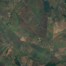
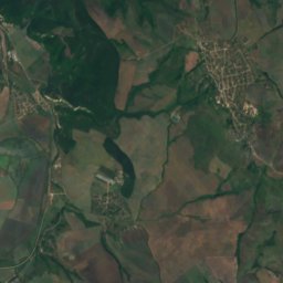
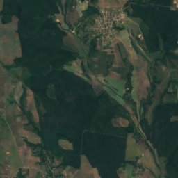
Satellite: Sentinel-2 cloudless 2016 by EOX IT Services GmbH · CC BY 4.0 · Contains modified Copernicus Sentinel data 2016
Trastikovo
Varna · 8.2 km S
20°Oct high
7wet days
81score

Around here
Devnya and around
Nature
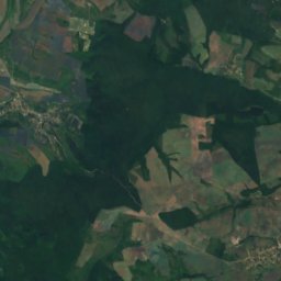
Satellite: Sentinel-2 cloudless 2016 by EOX IT Services GmbH · CC BY 4.0 · Contains modified Copernicus Sentinel data 2016
Lake Beloslav
Lake · 49 m
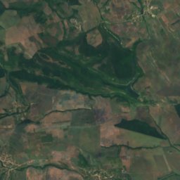
Satellite: Sentinel-2 cloudless 2016 by EOX IT Services GmbH · CC BY 4.0 · Contains modified Copernicus Sentinel data 2016
Trastikovo
Lake · 36 m
Mountains
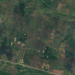
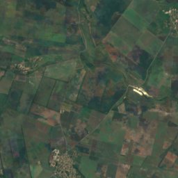
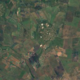
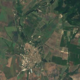
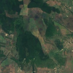
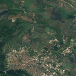
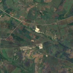
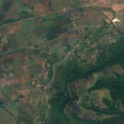
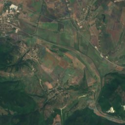
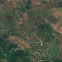
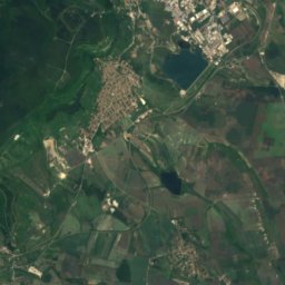
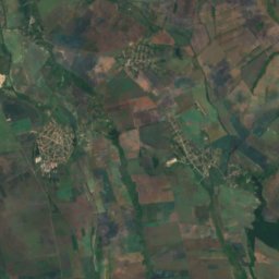
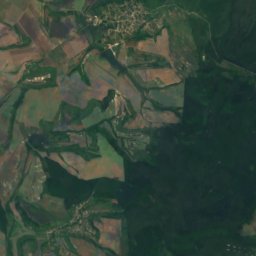
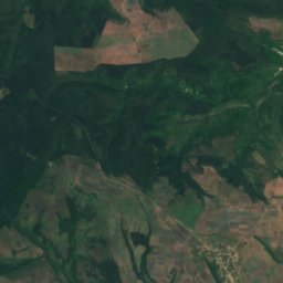
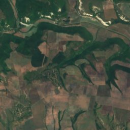
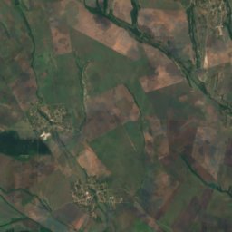
Satellite: Sentinel-2 cloudless 2016 by EOX IT Services GmbH · CC BY 4.0 · Contains modified Copernicus Sentinel data 2016
Madarski Konnik
337 m
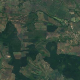
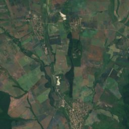
Heritage

Museums


Photo: Sergienkod at Russian Wikipedia · CC BY 3.0 · Wikimedia CommonsReport this photo · linked, not stored
Slava
1959




Satellite: Sentinel-2 cloudless 2016 by EOX IT Services GmbH · CC BY 4.0 · Contains modified Copernicus Sentinel data 2016
Museum of Glass, Beloslav
1893