
Photo: Dario Sanches · CC BY-SA 2.0 · Wikimedia Commons
Praia do GungaReport this photo · linked, not stored
Praia do GungaReport this photo · linked, not stored

Photo: André Lage Freitas · CC BY-SA 3.0 · Wikimedia Commons
Praia do FrancêsReport this photo · linked, not stored
Praia do FrancêsPraia do FrancêsReport this photo · linked, not stored
BeachMarechal Deodoro, Alagoas
Praia do Gunga
BeachBest Jul · Oct–Nov
Elevation–above sea level
Sea, warmest29°CApril
Nearest townMarechal Deodoro17 km
9.86° S, 35.90° WUTC−3 · Brasilia Standard Time
When to goMarechal Deodoro · weather score
Best timeJul · Oct–Nov
October: high / low28° / 23°
Beach
Praia do Gunga in brief
Praia do Gunga is a beach in Marechal Deodoro, Alagoas, Brazil.
The nearest town in the atlas is Marechal Deodoro, 17 km to the N, where the weather is best in July, October and November.
The sea is warmest in April, at about 29°C.
Weather nearby now
Forecast for Marechal Deodoro28°
Showers now
Today
22 Oct
28°
25°
5 mm
Fri
23 Oct
29°
24°
5 mm
Sat
24 Oct
29°
24°
1 mm
Sun
25 Oct
32°
24°
Mon
26 Oct
33°
24°
Model run 00:00 UTCRefreshed several times a day
Sea and air through the year
Sea surface temperature off the coast and the average daily high in Marechal Deodoro, month by month.Jan28°29°
Feb28°29°
Mar28°29°
Apr29°29°
May28°28°
Jun27°27°
Jul26°26°
Aug26°26°
Sep26°27°
Oct26°28°
Nov27°29°
Dec27°29°
seaair, daily high
Map
Praia do Gunga from above
Nature nearbyAll of Brazil
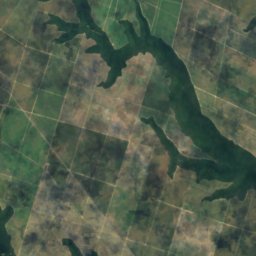
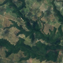
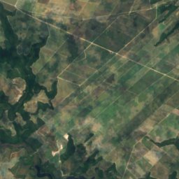
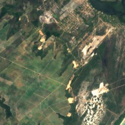
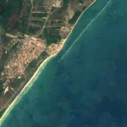
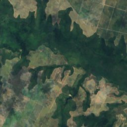
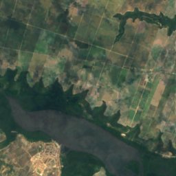
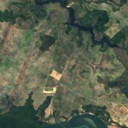
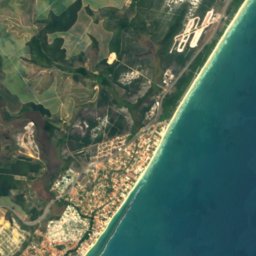

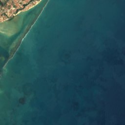

Satellite: Sentinel-2 cloudless 2016 by EOX IT Services GmbH · CC BY 4.0 · Contains modified Copernicus Sentinel data 2016
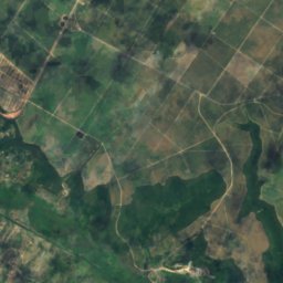
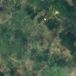
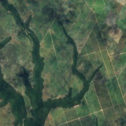
Satellite: Sentinel-2 cloudless 2016 by EOX IT Services GmbH · CC BY 4.0 · Contains modified Copernicus Sentinel data 2016


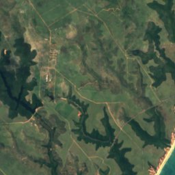
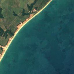



Satellite: Sentinel-2 cloudless 2016 by EOX IT Services GmbH · CC BY 4.0 · Contains modified Copernicus Sentinel data 2016
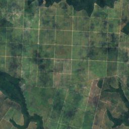
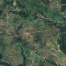
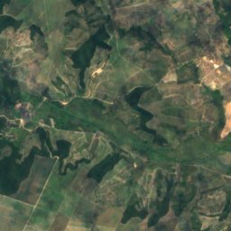
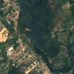
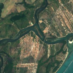
Satellite: Sentinel-2 cloudless 2016 by EOX IT Services GmbH · CC BY 4.0 · Contains modified Copernicus Sentinel data 2016
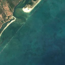

Satellite: Sentinel-2 cloudless 2016 by EOX IT Services GmbH · CC BY 4.0 · Contains modified Copernicus Sentinel data 2016

Stay nearby
Towns close by

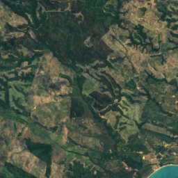
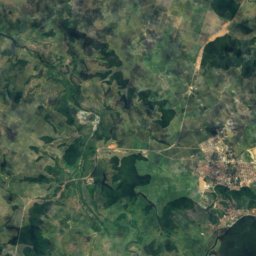
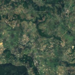
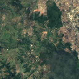
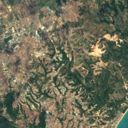
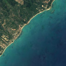

Satellite: Sentinel-2 cloudless 2016 by EOX IT Services GmbH · CC BY 4.0 · Contains modified Copernicus Sentinel data 2016
Coqueiro Seco
Alagoas · 27 km NE
27°Oct high
5wet days
80score

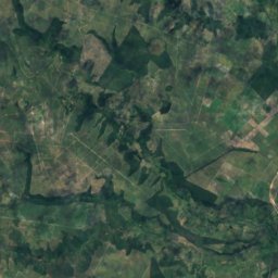
Satellite: Sentinel-2 cloudless 2016 by EOX IT Services GmbH · CC BY 4.0 · Contains modified Copernicus Sentinel data 2016
Santa Luzia do Norte
Alagoas · 30 km N
27°Oct high
5wet days
77score
Around here
Marechal Deodoro and around
Nature
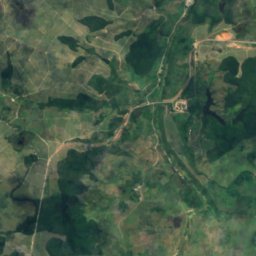
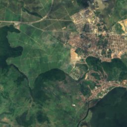
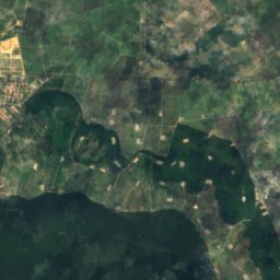
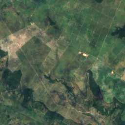
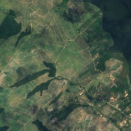
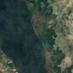
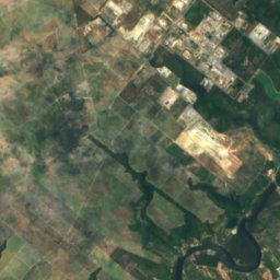
Satellite: Sentinel-2 cloudless 2016 by EOX IT Services GmbH · CC BY 4.0 · Contains modified Copernicus Sentinel data 2016
Manguaba Lagoon
Lake · 1 m
Satellite: Sentinel-2 cloudless 2016 by EOX IT Services GmbH · CC BY 4.0 · Contains modified Copernicus Sentinel data 2016
Lagoa Grande, Alagoas
Lake · 68 m
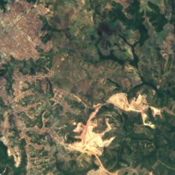
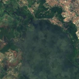
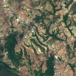
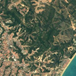
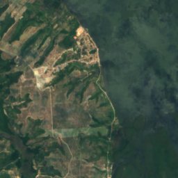
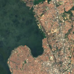
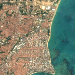
Satellite: Sentinel-2 cloudless 2016 by EOX IT Services GmbH · CC BY 4.0 · Contains modified Copernicus Sentinel data 2016
Mundaú Lagoon
Lake
Heritage


Satellite: Sentinel-2 cloudless 2016 by EOX IT Services GmbH · CC BY 4.0 · Contains modified Copernicus Sentinel data 2016
Museu de Arte Sacra do Estado de Alagoas
Heritage of Portuguese Influence · 1984
Satellite: Sentinel-2 cloudless 2016 by EOX IT Services GmbH · CC BY 4.0 · Contains modified Copernicus Sentinel data 2016
Casa natal do Marechal Deodoro da Fonseca
heritage asset listed by IPHAN


