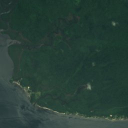
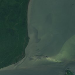

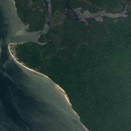
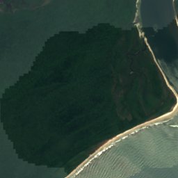
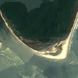
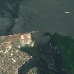
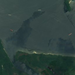
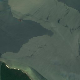
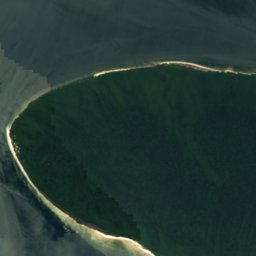
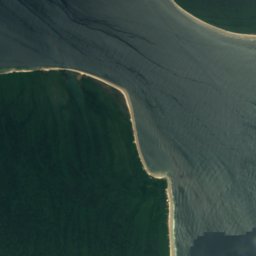
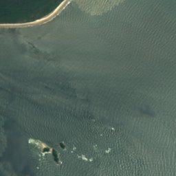

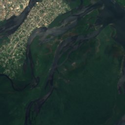
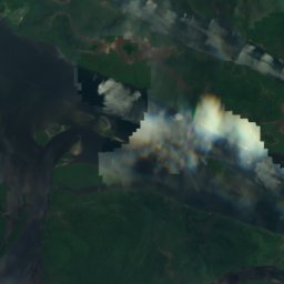
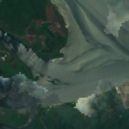
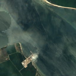
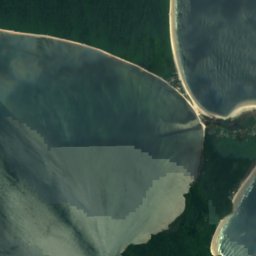

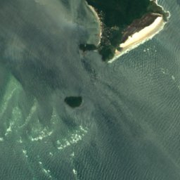
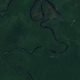
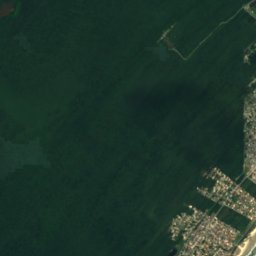
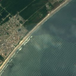

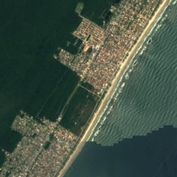
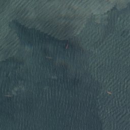
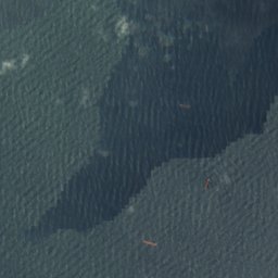
Satellite: Sentinel-2 cloudless 2016 by EOX IT Services GmbH · CC BY 4.0 · Contains modified Copernicus Sentinel data 2016
BeachParanaguá, Paraná
Praia do Cano
BeachBest May · Jul–Aug
Elevation–above sea level
Sea, warmest27°CFebruary
Nearest townParanaguá23 km
25.57° S, 48.31° WUTC−3 · Brasilia Standard Time
When to goParanaguá · weather score
Best timeMay · Jul–Aug
October: high / low23° / 19°
Beach
Praia do Cano in brief
Praia do Cano is a beach in Paranaguá, Paraná, Brazil.
The nearest town in the atlas is Paranaguá, 23 km to the W, where the weather is best in May, July and August.
The sea is warmest in February, at about 27°C.
Weather nearby now
Forecast for Paranaguá22°
Rain now
Today
22 Oct
22°
19°
11 mm
Fri
23 Oct
25°
20°
32 mm
Sat
24 Oct
25°
21°
19 mm
Sun
25 Oct
22°
19°
51 mm
Mon
26 Oct
20°
18°
5 mm
Model run 00:00 UTCRefreshed several times a day
Sea and air through the year
Sea surface temperature off the coast and the average daily high in Paranaguá, month by month.Jan27°28°
Feb27°28°
Mar27°27°
Apr25°25°
May23°23°
Jun21°22°
Jul19°21°
Aug19°21°
Sep20°22°
Oct22°23°
Nov23°25°
Dec25°27°
seaair, daily high
Map
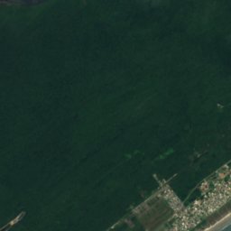
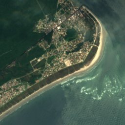
Praia do Cano from above
Nature nearbyAll of Brazil
Satellite: Sentinel-2 cloudless 2016 by EOX IT Services GmbH · CC BY 4.0 · Contains modified Copernicus Sentinel data 2016
Satellite: Sentinel-2 cloudless 2016 by EOX IT Services GmbH · CC BY 4.0 · Contains modified Copernicus Sentinel data 2016
Satellite: Sentinel-2 cloudless 2016 by EOX IT Services GmbH · CC BY 4.0 · Contains modified Copernicus Sentinel data 2016
Satellite: Sentinel-2 cloudless 2016 by EOX IT Services GmbH · CC BY 4.0 · Contains modified Copernicus Sentinel data 2016
Satellite: Sentinel-2 cloudless 2016 by EOX IT Services GmbH · CC BY 4.0 · Contains modified Copernicus Sentinel data 2016
Satellite: Sentinel-2 cloudless 2016 by EOX IT Services GmbH · CC BY 4.0 · Contains modified Copernicus Sentinel data 2016
Stay nearby
Towns close by

Photo: Deyvid Setti e Eloy Olindo Setti · CC BY 3.0 · Wikimedia CommonsReport this photo · linked, not stored
Paranaguá
Paraná · 23 km W
23°Oct high
20wet days
54score

Around here
Paranaguá and around
Photo: Deyvid Setti e Eloy Olindo Setti · CC BY 3.0 · Wikimedia CommonsReport this photo · linked, not stored
Paranaguá
Paraná · Brazil
May · Jul–Augbest months
21°July high
12 maltitude
Nature


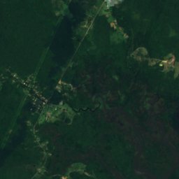

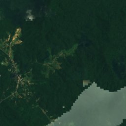
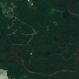
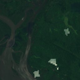

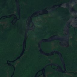
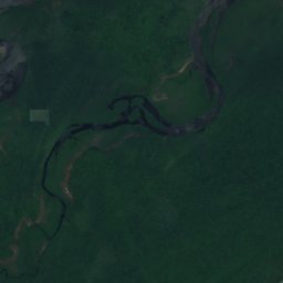
Satellite: Sentinel-2 cloudless 2016 by EOX IT Services GmbH · CC BY 4.0 · Contains modified Copernicus Sentinel data 2016
Cachoeira River, Paraná
River
Heritage

Satellite: Sentinel-2 cloudless 2016 by EOX IT Services GmbH · CC BY 4.0 · Contains modified Copernicus Sentinel data 2016
Casa Elfrida Lobo
CPC-PR Good Class
Museums






Satellite: Sentinel-2 cloudless 2016 by EOX IT Services GmbH · CC BY 4.0 · Contains modified Copernicus Sentinel data 2016
Museu do Parque Estadual Ilha do Mel
Satellite: Sentinel-2 cloudless 2016 by EOX IT Services GmbH · CC BY 4.0 · Contains modified Copernicus Sentinel data 2016
Museu de Arqueologia e Etnologia
1963
Satellite: Sentinel-2 cloudless 2016 by EOX IT Services GmbH · CC BY 4.0 · Contains modified Copernicus Sentinel data 2016