
Photo: Flaviohmg · CC BY-SA 3.0 · Wikimedia Commons
Pitimbu RiverReport this photo · linked, not stored
Pitimbu RiverReport this photo · linked, not stored

Photo: Matti Blume · CC BY-SA 4.0 · Wikimedia Commons
Ponta NegraReport this photo · linked, not stored
Ponta NegraPonta NegraReport this photo · linked, not stored

Photo: flickr.paulohenrique.net · CC BY 2.0 · Wikimedia Commons
Pirangi beachReport this photo · linked, not stored
Pirangi beachPirangi beachReport this photo · linked, not stored

Photo: LeRoc · CC BY-SA 2.0 · Wikimedia Commons
Praia de BúziosReport this photo · linked, not stored
Praia de BúziosPraia de BúziosReport this photo · linked, not stored

Photo: Unknown author · CC BY-SA 3.0 · Wikimedia Commons
Via CosteiraReport this photo · linked, not stored
Via CosteiraVia CosteiraReport this photo · linked, not stored
RiverNatal, Rio Grande do Norte
Pitimbu River
River45 m elevationBest Sep–Nov
Elevation45 mabove sea level
Area–surface
Nearest townNatal16 km
5.93° S, 35.17° WElevation 45 mUTC−3 · Brasilia Standard Time
When to goNatal · weather score
Best timeSep–Nov
October: high / low27° / 24°
River
Pitimbu River in brief
Pitimbu River is a river in Natal, Rio Grande do Norte, Brazil.
It lies at 45 m above sea level.
The nearest town in the atlas is Natal, 16 km to the N, where the weather is best in September, October and November.
Weather nearby now
Forecast for Natal30°
Partly cloudy now
Today
22 Oct
30°
25°
4 mm
Fri
23 Oct
29°
25°
3 mm
Sat
24 Oct
29°
26°
2 mm
Sun
25 Oct
30°
25°
1 mm
Mon
26 Oct
30°
25°
Model run 00:00 UTCRefreshed several times a day
The course of the river
As mapped in OpenStreetMap, with the towns of the atlas along its banks.sourcemouth (or where the mapped line leaves the country)
Map
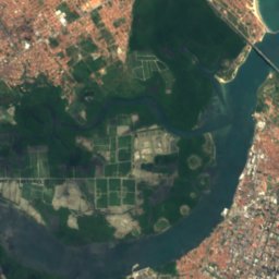
Pitimbu River from above
Nature nearbyAll of Brazil
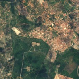
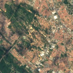
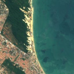


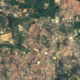
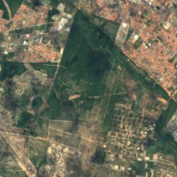
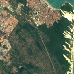


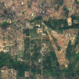
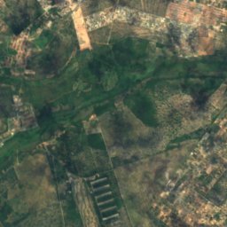
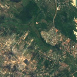
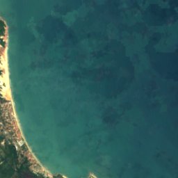

Satellite: Sentinel-2 cloudless 2016 by EOX IT Services GmbH · CC BY 4.0 · Contains modified Copernicus Sentinel data 2016
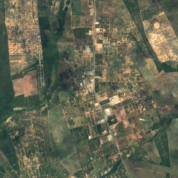
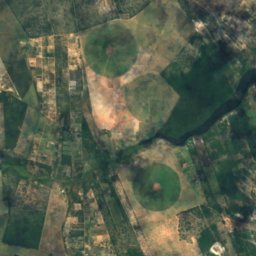
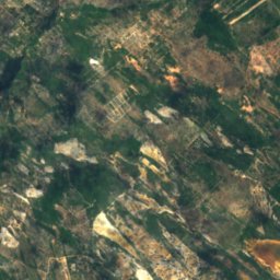
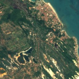
Satellite: Sentinel-2 cloudless 2016 by EOX IT Services GmbH · CC BY 4.0 · Contains modified Copernicus Sentinel data 2016


Photo: flickr.paulohenrique.net · CC BY 2.0 · Wikimedia CommonsReport this photo · linked, not stored


Stay nearby
Towns close by

Photo: Marcos Elias de Oliveira Júnior · CC0 · Wikimedia CommonsReport this photo · linked, not stored
Natal
Rio Grande do Norte · 16 km N
27°Oct high
4wet days
81score
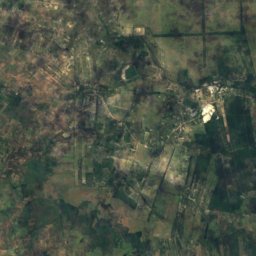
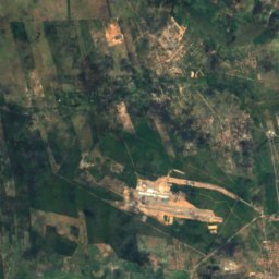
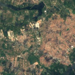
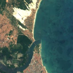
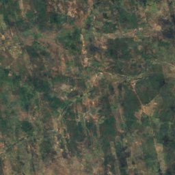
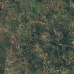
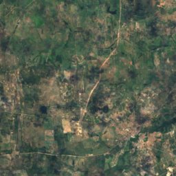
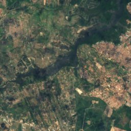
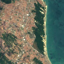
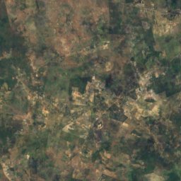
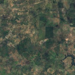
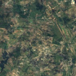
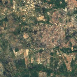
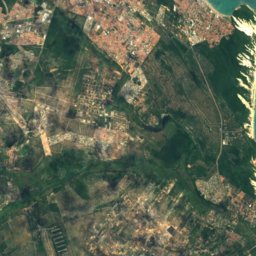
Satellite: Sentinel-2 cloudless 2016 by EOX IT Services GmbH · CC BY 4.0 · Contains modified Copernicus Sentinel data 2016
Macaíba
Rio Grande do Norte · 22 km W
29°Oct high
4wet days
73score
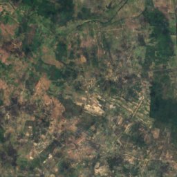
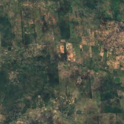
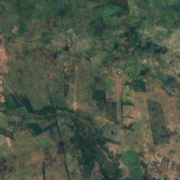
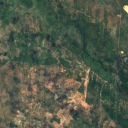
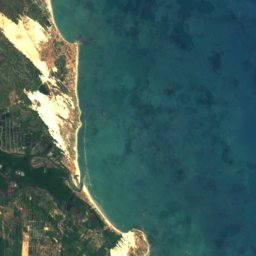
Satellite: Sentinel-2 cloudless 2016 by EOX IT Services GmbH · CC BY 4.0 · Contains modified Copernicus Sentinel data 2016
São Gonçalo do Amarante
Rio Grande do Norte · 24 km NW
29°Oct high
4wet days
75score
Around here
Natal and around
Photo: Marcos Elias de Oliveira Júnior · CC0 · Wikimedia CommonsReport this photo · linked, not stored
Natal
Rio Grande do Norte · Brazil
Sep–Novbest months
26°July high
32 maltitude
Nature
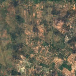
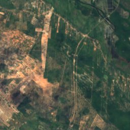
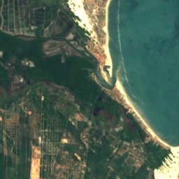

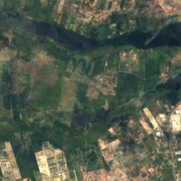
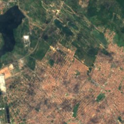
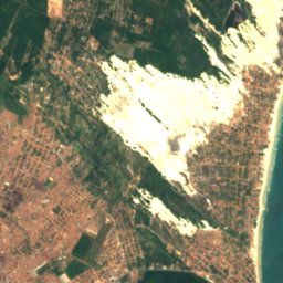


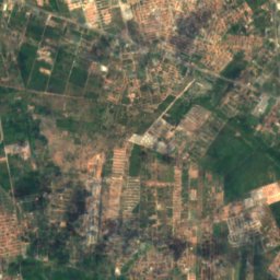
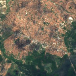
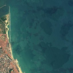

Satellite: Sentinel-2 cloudless 2016 by EOX IT Services GmbH · CC BY 4.0 · Contains modified Copernicus Sentinel data 2016
Potengi River
River · 8 m
Satellite: Sentinel-2 cloudless 2016 by EOX IT Services GmbH · CC BY 4.0 · Contains modified Copernicus Sentinel data 2016
Jundiaí River, Rio Grande do Norte
River
Satellite: Sentinel-2 cloudless 2016 by EOX IT Services GmbH · CC BY 4.0 · Contains modified Copernicus Sentinel data 2016
Doce River, Rio Grande do Norte
River
Heritage





Satellite: Sentinel-2 cloudless 2016 by EOX IT Services GmbH · CC BY 4.0 · Contains modified Copernicus Sentinel data 2016
Our Lady of the Presentation Cathedral, Natal
FJA Good Class · 1988
Museums




Satellite: Sentinel-2 cloudless 2016 by EOX IT Services GmbH · CC BY 4.0 · Contains modified Copernicus Sentinel data 2016