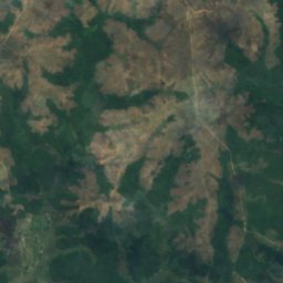
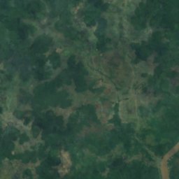
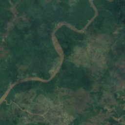
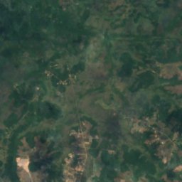
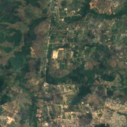
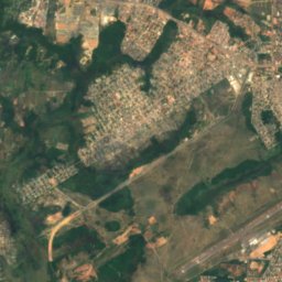
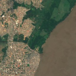
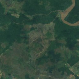
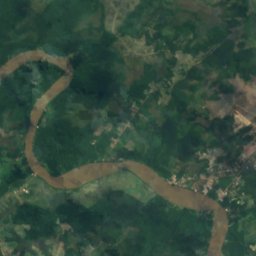
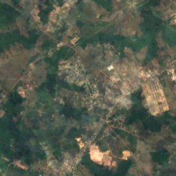
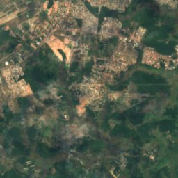
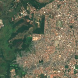
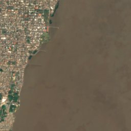
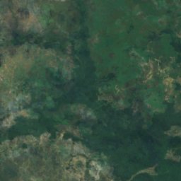
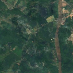
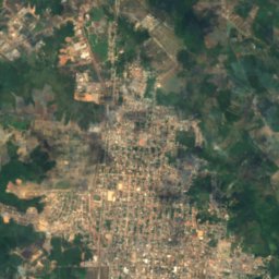
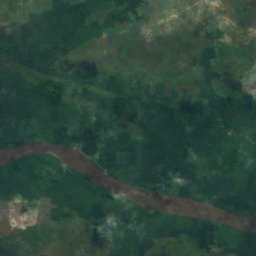
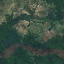
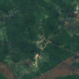
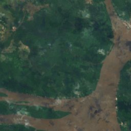

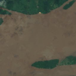
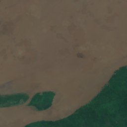
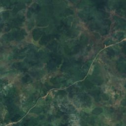
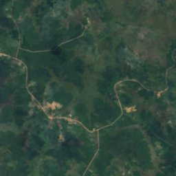
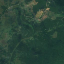
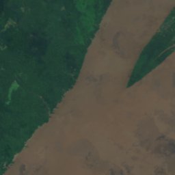

Satellite: Sentinel-2 cloudless 2016 by EOX IT Services GmbH · CC BY 4.0 · Contains modified Copernicus Sentinel data 2016
RiverPortuário do Igarapé da Fortaleza, Amapá
Matapi River
RiverBest Jun · Sep–Oct
Elevation–above sea level
Area–surface
Nearest townPortuário do Igarapé da Fortaleza14 km
0.05° S, 51.20° WUTC−3 · Brasilia Standard Time
When to goPortuário do Igarapé da Fortaleza · weather score
Best timeJun · Sep–Oct
October: high / low32° / 25°
River
Matapi River in brief
Matapi River is a river in Portuário do Igarapé da Fortaleza, Amapá, Brazil.
The nearest town in the atlas is Portuário do Igarapé da Fortaleza, 14 km to the NE, where the weather is best in June, September and October.
Weather nearby now
Forecast for Portuário do Igarapé da Fortaleza33°
Cloudy now
Today
22 Oct
33°
24°
Fri
23 Oct
34°
25°
Sat
24 Oct
34°
25°
Sun
25 Oct
34°
25°
Mon
26 Oct
34°
24°
Model run 00:00 UTCRefreshed several times a day
When to go
Climate of Portuário do Igarapé da FortalezaThe best months around Matapi River
Month score in Portuário do Igarapé da Fortaleza
Comfort, dry days and sunshine · out of 10044
Jan
43
Feb
40
Mar
40
Apr
44
May
51
Jun
49
Jul
49
Aug
62
Sep
60
Oct
46
Nov
41
Dec
Map
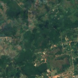
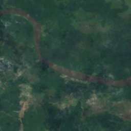
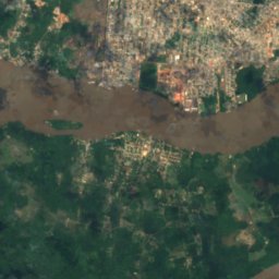
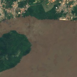
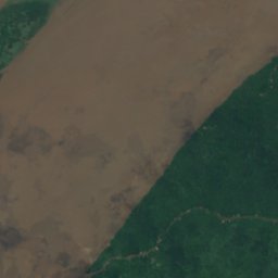
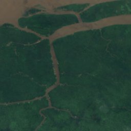
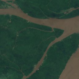
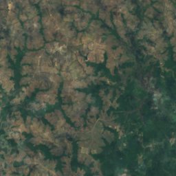
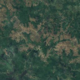
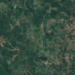
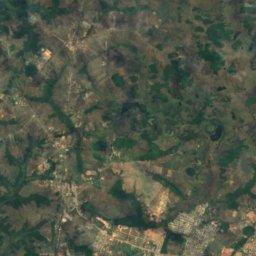
Matapi River from above
Nature nearbyAll of Brazil
Satellite: Sentinel-2 cloudless 2016 by EOX IT Services GmbH · CC BY 4.0 · Contains modified Copernicus Sentinel data 2016
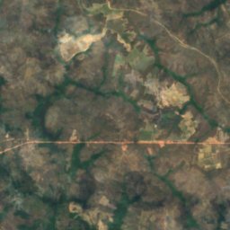
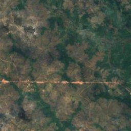
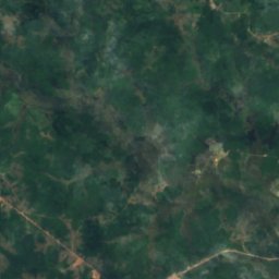
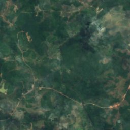
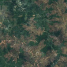
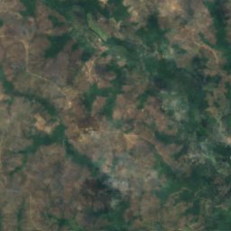
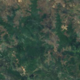
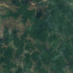
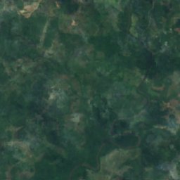
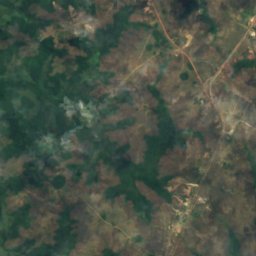
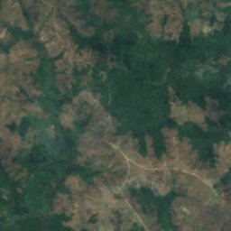
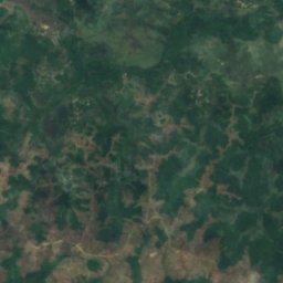
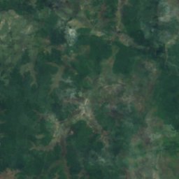
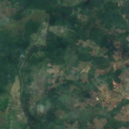
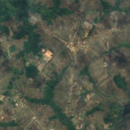
Satellite: Sentinel-2 cloudless 2016 by EOX IT Services GmbH · CC BY 4.0 · Contains modified Copernicus Sentinel data 2016
Stay nearby
Towns close by
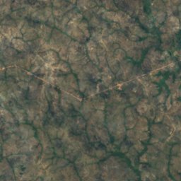
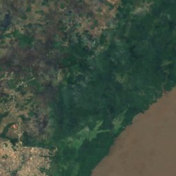
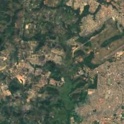
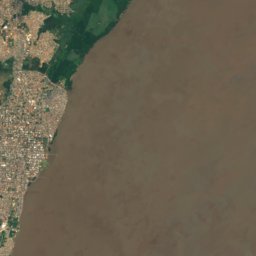
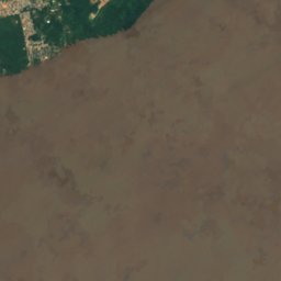
Satellite: Sentinel-2 cloudless 2016 by EOX IT Services GmbH · CC BY 4.0 · Contains modified Copernicus Sentinel data 2016
Portuário do Igarapé da Fortaleza
Amapá · 14 km NE
32°Oct high
5wet days
60score

Around here
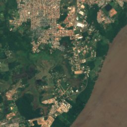
Portuário do Igarapé da Fortaleza and around
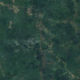
Satellite: Sentinel-2 cloudless 2016 by EOX IT Services GmbH · CC BY 4.0 · Contains modified Copernicus Sentinel data 2016
Portuário do Igarapé da Fortaleza
Amapá · Brazil
Jun · Sep–Octbest months
29°July high
14 maltitude
Nature
Satellite: Sentinel-2 cloudless 2016 by EOX IT Services GmbH · CC BY 4.0 · Contains modified Copernicus Sentinel data 2016
Maruanum River
River · 5 m
Satellite: Sentinel-2 cloudless 2016 by EOX IT Services GmbH · CC BY 4.0 · Contains modified Copernicus Sentinel data 2016
Ilha Santana, Amapá
Island
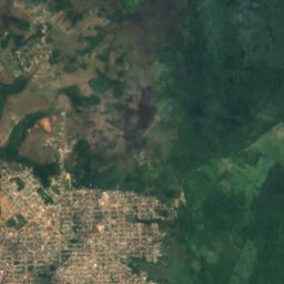
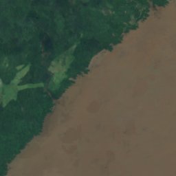





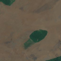
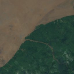
Satellite: Sentinel-2 cloudless 2016 by EOX IT Services GmbH · CC BY 4.0 · Contains modified Copernicus Sentinel data 2016
Ilha Macapá
Island · 4 m
Heritage

Photo: Jorge Andrade from Rio de Janeiro, Brazil · CC BY 2.0 · Wikimedia CommonsReport this photo · linked, not stored
Bacabeiras Theater
historic site · 1990

Fortaleza de São José de Macapá
Heritage of Portuguese Influence · 1998
Museums


Photo: Jorge Andrade from Rio de Janeiro, Brazil · CC BY 2.0 · Wikimedia CommonsReport this photo · linked, not stored
Museu Histórico Joaquim Caetano da Silva
History museum · 1948


Satellite: Sentinel-2 cloudless 2016 by EOX IT Services GmbH · CC BY 4.0 · Contains modified Copernicus Sentinel data 2016
Centro de Estudos e Pesquisas Arqueológicas do Amapá da Universidade Federal do Amapá
2004