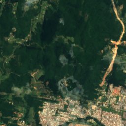
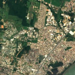
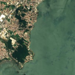
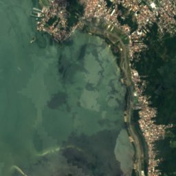
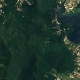
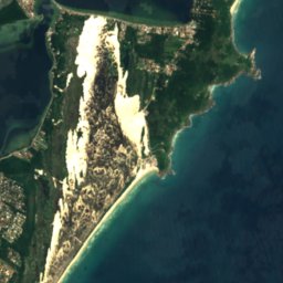
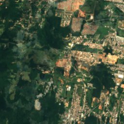
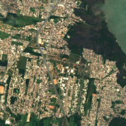
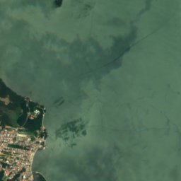
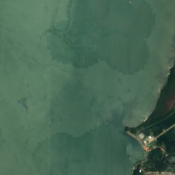
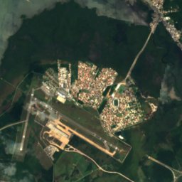
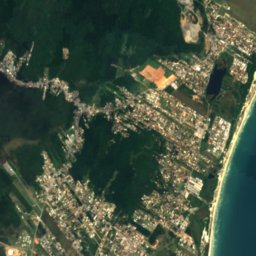
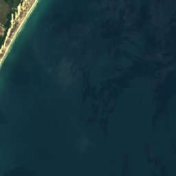

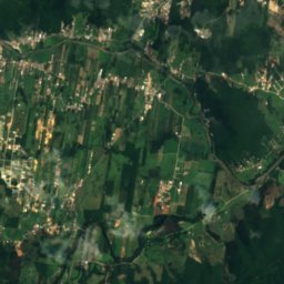
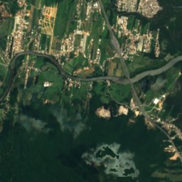
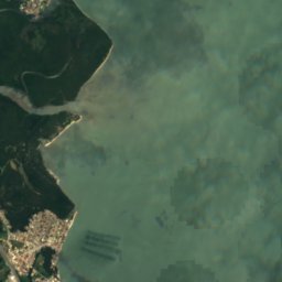
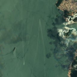
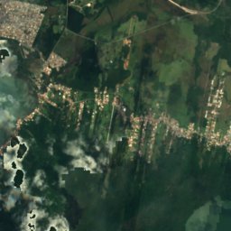
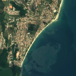
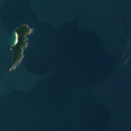
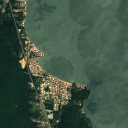
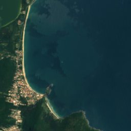
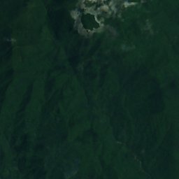
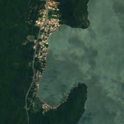
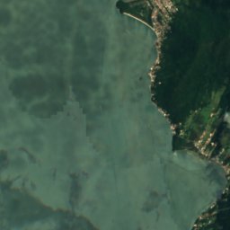
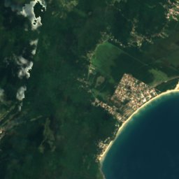
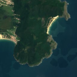

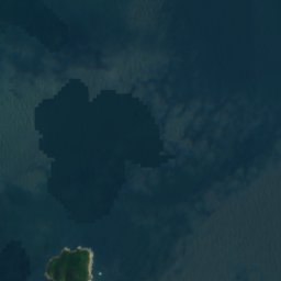
Satellite: Sentinel-2 cloudless 2016 by EOX IT Services GmbH · CC BY 4.0 · Contains modified Copernicus Sentinel data 2016

Photo: Mauro Soares · CC BY-SA 3.0 · Wikimedia Commons
Praia do MatadeiroReport this photo · linked, not stored
Praia do MatadeiroPraia do MatadeiroReport this photo · linked, not stored

Photo: DouglasSchifter · CC BY-SA 4.0 · Wikimedia Commons
Lagoinha do LesteReport this photo · linked, not stored
Lagoinha do LesteLagoinha do LesteReport this photo · linked, not stored

Photo: Paulo Cameli · CC BY 3.0 · Wikimedia Commons
Praia da Lagoinha do LesteReport this photo · linked, not stored
Praia da Lagoinha do LestePraia da Lagoinha do LesteReport this photo · linked, not stored

Photo: João Felipe Garbers · CC BY-SA 4.0 · Wikimedia Commons
Lagoa do PeriReport this photo · linked, not stored
Lagoa do PeriLagoa do PeriReport this photo · linked, not stored
BeachArmação, Santa Catarina
Matadeiro
BeachBest May · Jul–Aug
Elevation–above sea level
Sea, warmest26°CFebruary
Nearest townArmação1.1 km
27.76° S, 48.50° WUTC−3 · Brasilia Standard Time
When to goArmação · weather score
Best timeMay · Jul–Aug
October: high / low21° / 18°
Beach
Matadeiro in brief
Matadeiro is a beach in Armação, Santa Catarina, Brazil.
The nearest town in the atlas is Armação, 1.1 km to the NW, where the weather is best in May, July and August.
The sea is warmest in February, at about 26°C.
Weather nearby now
Forecast for Armação21°
Cloudy now
Today
22 Oct
21°
19°
1 mm
Fri
23 Oct
22°
19°
8 mm
Sat
24 Oct
24°
20°
7 mm
Sun
25 Oct
20°
18°
8 mm
Mon
26 Oct
19°
16°
6 mm
Model run 00:00 UTCRefreshed several times a day
Sea and air through the year
Sea surface temperature off the coast and the average daily high in Armação, month by month.Jan26°26°
Feb26°26°
Mar25°26°
Apr24°24°
May22°22°
Jun20°20°
Jul18°19°
Aug18°19°
Sep19°20°
Oct21°21°
Nov22°23°
Dec24°25°
seaair, daily high
When to go
Climate of ArmaçãoThe best months around Matadeiro
Month score in Armação
Comfort, dry days and sunshine · out of 10057
Jan
56
Feb
60
Mar
67
Apr
73
May
68
Jun
76
Jul
72
Aug
61
Sep
57
Oct
60
Nov
61
Dec
Map
Matadeiro from above
Nature nearbyAll of Brazil

Satellite: Sentinel-2 cloudless 2016 by EOX IT Services GmbH · CC BY 4.0 · Contains modified Copernicus Sentinel data 2016


Summits nearbyMountains of Brazil

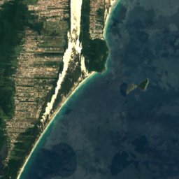
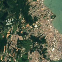
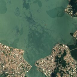
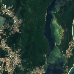
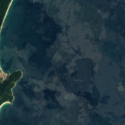
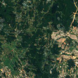
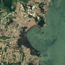
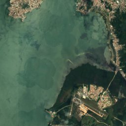
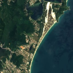
Satellite: Sentinel-2 cloudless 2016 by EOX IT Services GmbH · CC BY 4.0 · Contains modified Copernicus Sentinel data 2016
Stay nearby
Towns close by
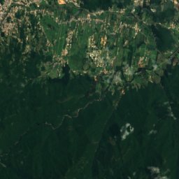
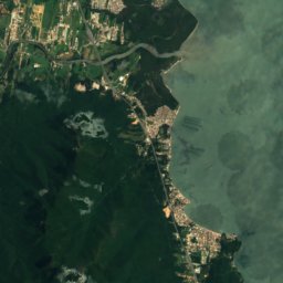
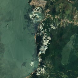
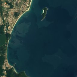

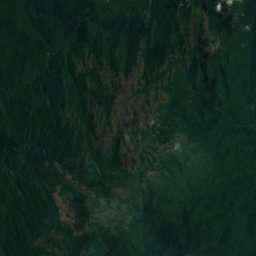
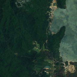
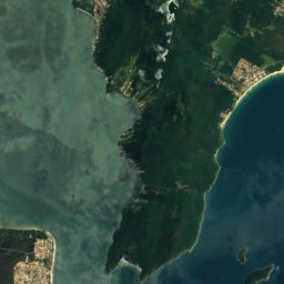

Satellite: Sentinel-2 cloudless 2016 by EOX IT Services GmbH · CC BY 4.0 · Contains modified Copernicus Sentinel data 2016
Armação
Santa Catarina · 1.1 km NW
21°Oct high
17wet days
57score

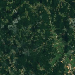
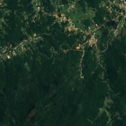
Satellite: Sentinel-2 cloudless 2016 by EOX IT Services GmbH · CC BY 4.0 · Contains modified Copernicus Sentinel data 2016
Freguesia do Ribeirão da Ilha
Santa Catarina · 7.6 km NW
22°Oct high
17wet days
57score
Around here
Armação and around
Nature

Mountains

Satellite: Sentinel-2 cloudless 2016 by EOX IT Services GmbH · CC BY 4.0 · Contains modified Copernicus Sentinel data 2016
Morro da Cruz
285 m
Heritage


Photo: Lucas Espindola Braga · CC BY-SA 4.0 · Wikimedia CommonsReport this photo · linked, not stored
Ribeirão da Ilha
Heritage of Portuguese Influence

Fortaleza de Nossa Senhora da Conceição de Araçatuba
heritage asset listed by IPHAN
Museums





Satellite: Sentinel-2 cloudless 2016 by EOX IT Services GmbH · CC BY 4.0 · Contains modified Copernicus Sentinel data 2016
Ecomuseu do Ribeirão da Ilha
1971